Markers are shown only for places with reference coordinates. Numbers link markers to the list; nearby points are grouped. Confirm the exact visiting address.
Choose up to 12 places from this page and arrange them. Your selection is temporary and clears when the page, language or filters change. In the planner you will confirm how to add them to your trip.
Choose places for your route · 24
Selected places: 0 / 12
No places selected.
The planner will check that every place is still published. This order is a proposal, not an automatically calculated road route.
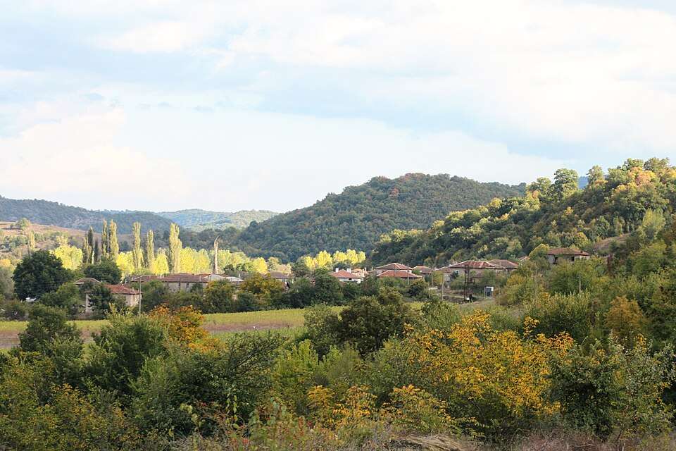
Byal kladenets is a village in Stambolovo Municipality, Haskovo Province, Bulgaria.
EKATTE code: 07781. Elevation range: 300–499 m.
This profile uses the official National Register of Settlements. View the location on the map and add the settlement to your personal itinerary.
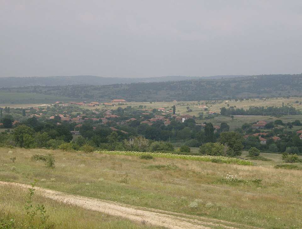
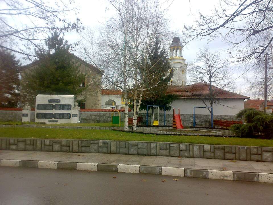
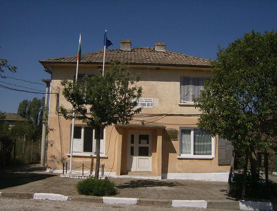
Photograph from Byalgradets (Ivaylovgrad Municipality)
Byalgradets is a village in Ivaylovgrad Municipality, Haskovo Province, Bulgaria.
EKATTE code: 07733. Elevation range: 200–299 m.
This profile uses the official National Register of Settlements. View the location on the map and add the settlement to your personal itinerary.
Cherepovo is a village in Harmanli Municipality, Haskovo Province, Bulgaria.
EKATTE code: 80552. Elevation range: 300–499 m.
This profile uses the official National Register of Settlements. View the location on the map and add the settlement to your personal itinerary.
Cherna mogila is a village in Harmanli Municipality, Haskovo Province, Bulgaria.
EKATTE code: 80827. Elevation range: 200–299 m.
This profile uses the official National Register of Settlements. View the location on the map and add the settlement to your personal itinerary.
Cherni rid is a village in Ivaylovgrad Municipality, Haskovo Province, Bulgaria.
EKATTE code: 80995. Elevation range: 500–699 m.
This profile uses the official National Register of Settlements. View the location on the map and add the settlement to your personal itinerary.
Chernichino is a village in Ivaylovgrad Municipality, Haskovo Province, Bulgaria.
EKATTE code: 81044. Elevation range: 500–699 m.
This profile uses the official National Register of Settlements. View the location on the map and add the settlement to your personal itinerary.
Chernodab is a village in Svilengrad Municipality, Haskovo Province, Bulgaria.
EKATTE code: 81116. Elevation range: 50–99 m.
This profile uses the official National Register of Settlements. View the location on the map and add the settlement to your personal itinerary.
Chernogorovo is a village in Dimitrovgrad Municipality, Haskovo Province, Bulgaria.
EKATTE code: 81092. Elevation range: 100–199 m.
This profile uses the official National Register of Settlements. View the location on the map and add the settlement to your personal itinerary.
Chuchuliga is a village in Ivaylovgrad Municipality, Haskovo Province, Bulgaria.
EKATTE code: 81829. Elevation range: 500–699 m.
This profile uses the official National Register of Settlements. View the location on the map and add the settlement to your personal itinerary.
Chukarovo is a village in Topolovgrad Municipality, Haskovo Province, Bulgaria.
EKATTE code: 81654. Elevation range: 100–199 m.
This profile uses the official National Register of Settlements. View the location on the map and add the settlement to your personal itinerary.
Dabovets is a village in Lyubimets Municipality, Haskovo Province, Bulgaria.
EKATTE code: 24311. Elevation range: 100–199 m.
This profile uses the official National Register of Settlements. View the location on the map and add the settlement to your personal itinerary.
Dervishka mogila is a village in Svilengrad Municipality, Haskovo Province, Bulgaria.
EKATTE code: 20674. Elevation range: 500–699 m.
This profile uses the official National Register of Settlements. View the location on the map and add the settlement to your personal itinerary.
Dimitrovche is a village in Svilengrad Municipality, Haskovo Province, Bulgaria.
EKATTE code: 21078. Elevation range: 100–199 m.
This profile uses the official National Register of Settlements. View the location on the map and add the settlement to your personal itinerary.
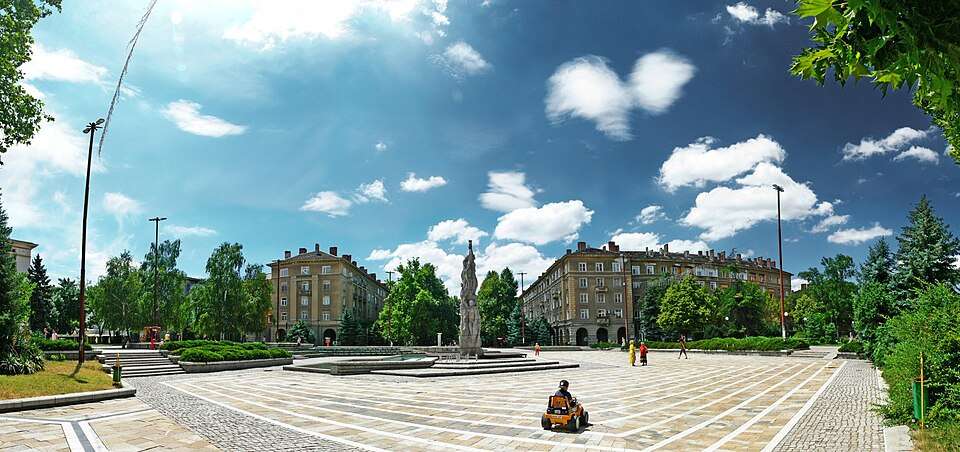
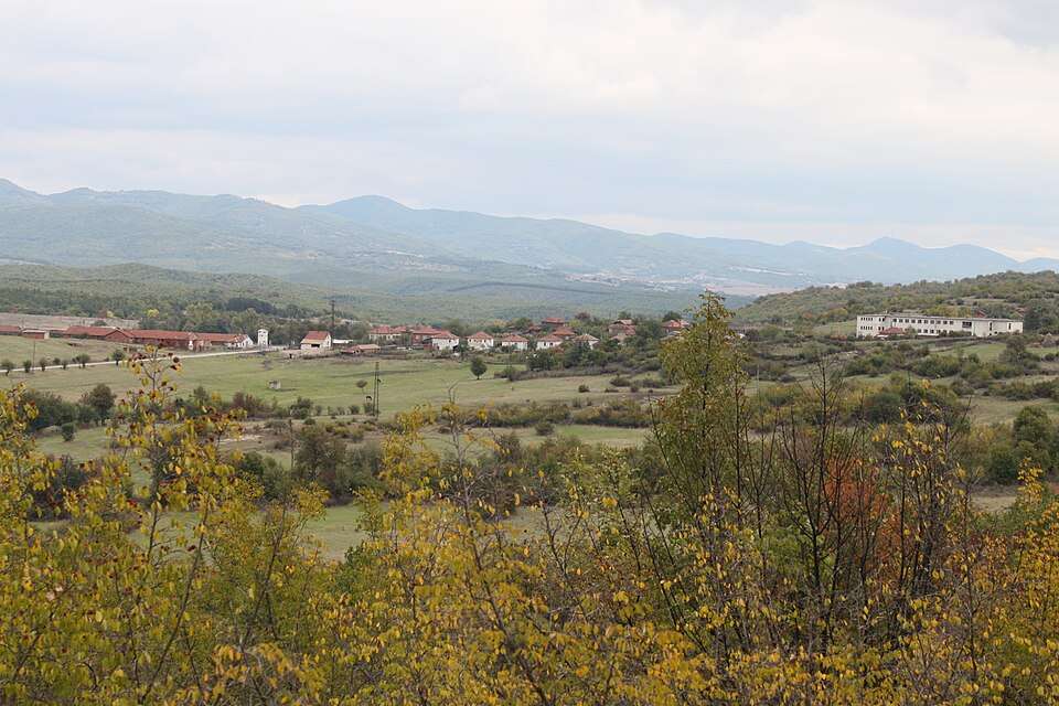
Photograph from Dimitrovgrad (Dimitrovgrad Municipality)
Dimitrovgrad is a city in Dimitrovgrad Municipality, Haskovo Province, Bulgaria.
EKATTE code: 21052. Elevation range: 100–199 m. Municipal centre.
This profile uses the official National Register of Settlements. View the location on the map and add the settlement to your personal itinerary.
Dinevo is a village in Haskovo Municipality, Haskovo Province, Bulgaria.
EKATTE code: 21155. Elevation range: 100–199 m.
This profile uses the official National Register of Settlements. View the location on the map and add the settlement to your personal itinerary.
Dlagnevo is a village in Dimitrovgrad Municipality, Haskovo Province, Bulgaria.
EKATTE code: 21258. Elevation range: 100–199 m.
This profile uses the official National Register of Settlements. View the location on the map and add the settlement to your personal itinerary.
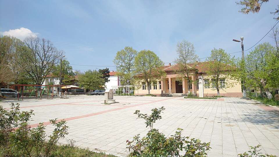
Photograph from Dobrich (Dimitrovgrad Municipality)
Dobrich is a village in Dimitrovgrad Municipality, Haskovo Province, Bulgaria.
EKATTE code: 21539. Elevation range: 100–199 m.
This profile uses the official National Register of Settlements. View the location on the map and add the settlement to your personal itinerary.
Dobroselets is a village in Topolovgrad Municipality, Haskovo Province, Bulgaria.
EKATTE code: 21659. Elevation range: 100–199 m.
This profile uses the official National Register of Settlements. View the location on the map and add the settlement to your personal itinerary.
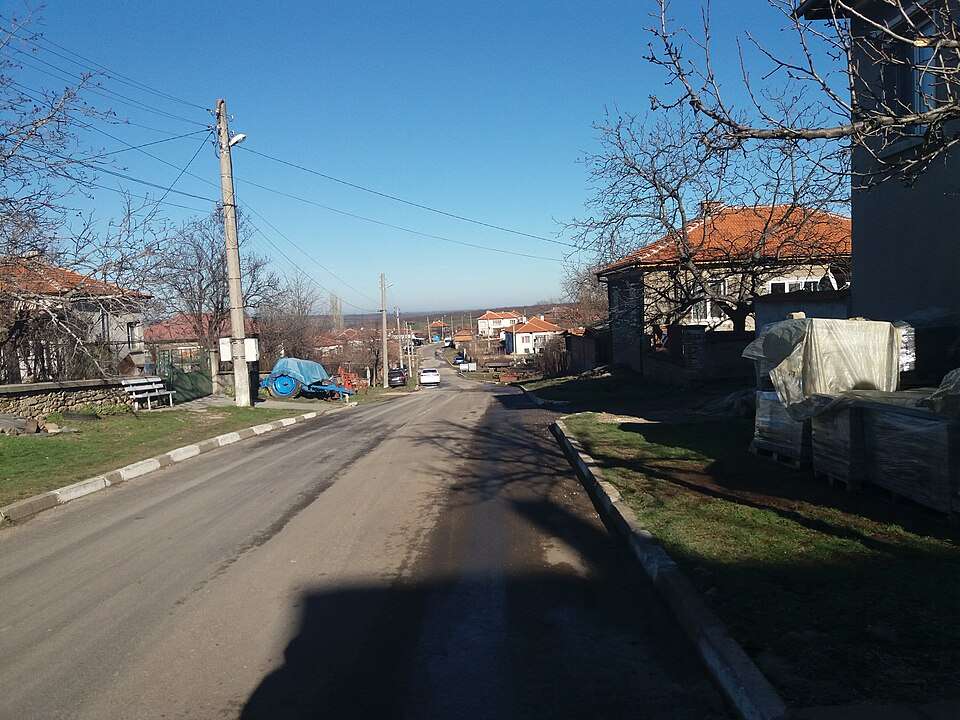
Photograph from Dolni Glavanak (Madzharovo Municipality)
Dolni Glavanak is a village in Madzharovo Municipality, Haskovo Province, Bulgaria.
EKATTE code: 22375. Elevation range: 200–299 m.
This profile uses the official National Register of Settlements. View the location on the map and add the settlement to your personal itinerary.
Dolno Belevo is a village in Dimitrovgrad Municipality, Haskovo Province, Bulgaria.
EKATTE code: 22561. Elevation range: 100–199 m.
This profile uses the official National Register of Settlements. View the location on the map and add the settlement to your personal itinerary.
Photograph from Dolno Botevo (Stambolovo Municipality)
Dolno Botevo is a village in Stambolovo Municipality, Haskovo Province, Bulgaria.
EKATTE code: 22575. Elevation range: 200–299 m.
This profile uses the official National Register of Settlements. View the location on the map and add the settlement to your personal itinerary.
Dolno Cherkovishte is a village in Stambolovo Municipality, Haskovo Province, Bulgaria.
EKATTE code: 22887. Elevation range: 100–199 m.
This profile uses the official National Register of Settlements. View the location on the map and add the settlement to your personal itinerary.
Photograph from Dolno Golemantsi (Haskovo Municipality)
Dolno Golemantsi is a village in Haskovo Municipality, Haskovo Province, Bulgaria.
EKATTE code: 24949. Elevation range: 100–199 m.
This profile uses the official National Register of Settlements. View the location on the map and add the settlement to your personal itinerary.
Photograph from Dolno Lukovo (Ivaylovgrad Municipality)
Dolno Lukovo is a village in Ivaylovgrad Municipality, Haskovo Province, Bulgaria.
EKATTE code: 22705. Elevation range: 50–99 m.
This profile uses the official National Register of Settlements. View the location on the map and add the settlement to your personal itinerary.