Markers are shown only for places with reference coordinates. Numbers link markers to the list; nearby points are grouped. Confirm the exact visiting address.
Choose up to 12 places from this page and arrange them. Your selection is temporary and clears when the page, language or filters change. In the planner you will confirm how to add them to your trip.
Choose places for your route · 24
Selected places: 0 / 12
No places selected.
The planner will check that every place is still published. This order is a proposal, not an automatically calculated road route.
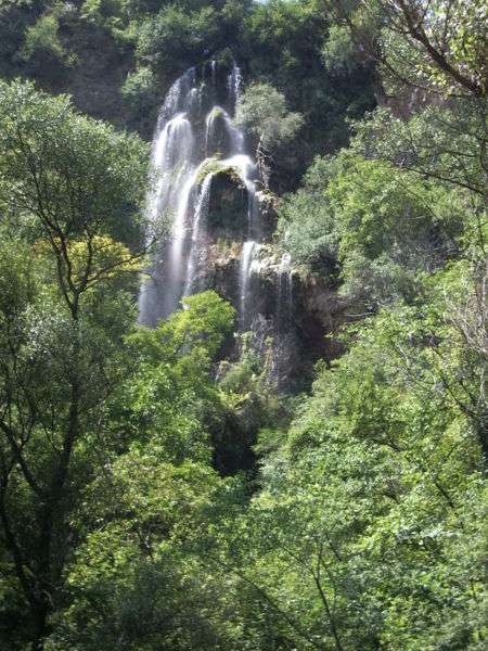
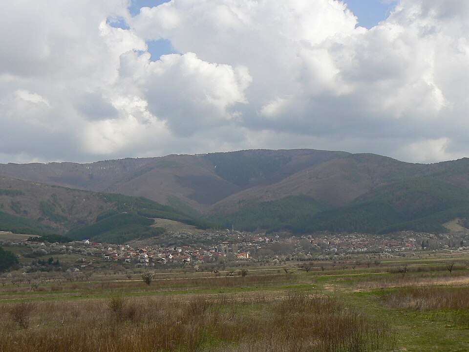
Polska Skakavitsa is a village in Kyustendil Municipality, Kyustendil Province, Bulgaria.
EKATTE code: 57319. Elevation range: 700–999 m.
This profile uses the official National Register of Settlements. View the location on the map and add the settlement to your personal itinerary.
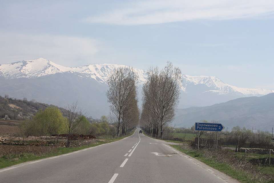
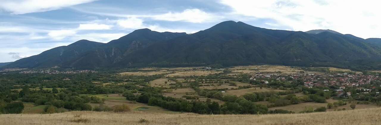
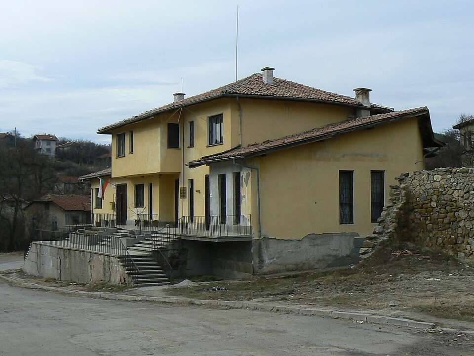
Photograph from Porominovo (Kocherinovo Municipality)
Porominovo is a village in Kocherinovo Municipality, Kyustendil Province, Bulgaria.
EKATTE code: 57830. Elevation range: 300–499 m.
This profile uses the official National Register of Settlements. View the location on the map and add the settlement to your personal itinerary.
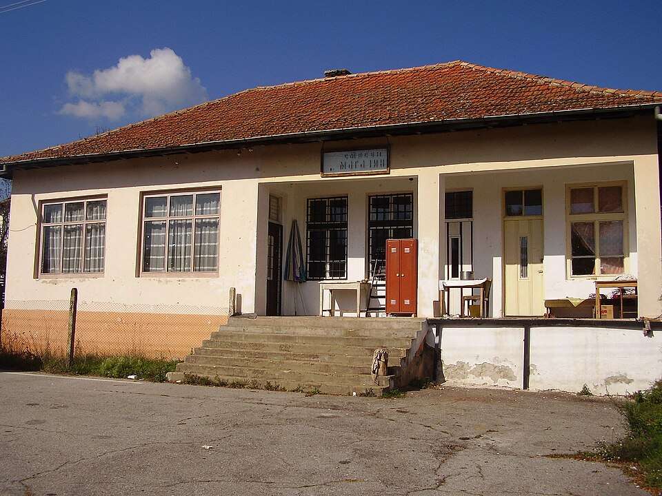
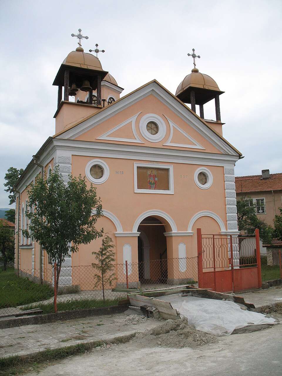
Photograph from Prekolnitsa (Kyustendil Municipality)
Prekolnitsa is a village in Kyustendil Municipality, Kyustendil Province, Bulgaria.
EKATTE code: 58129. Elevation range: 700–999 m.
This profile uses the official National Register of Settlements. View the location on the map and add the settlement to your personal itinerary.
Radlovtsi is a village in Kyustendil Municipality, Kyustendil Province, Bulgaria.
EKATTE code: 61457. Elevation range: 500–699 m.
This profile uses the official National Register of Settlements. View the location on the map and add the settlement to your personal itinerary.
Rakovo is a village in Nevestino Municipality, Kyustendil Province, Bulgaria.
EKATTE code: 62058. Elevation range: ≥ 1000 m.
This profile uses the official National Register of Settlements. View the location on the map and add the settlement to your personal itinerary.
Ranentsi is a village in Kyustendil Municipality, Kyustendil Province, Bulgaria.
EKATTE code: 62181. Elevation range: 700–999 m.
This profile uses the official National Register of Settlements. View the location on the map and add the settlement to your personal itinerary.
Rashka Grashtitsa is a village in Nevestino Municipality, Kyustendil Province, Bulgaria.
EKATTE code: 62284. Elevation range: 500–699 m.
This profile uses the official National Register of Settlements. View the location on the map and add the settlement to your personal itinerary.
Rasovo is a village in Kyustendil Municipality, Kyustendil Province, Bulgaria.
EKATTE code: 63608. Elevation range: 700–999 m.
This profile uses the official National Register of Settlements. View the location on the map and add the settlement to your personal itinerary.
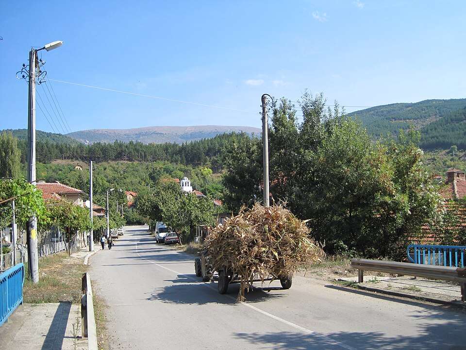
Photograph from Razhdavitsa (Kyustendil Municipality)
Razhdavitsa is a village in Kyustendil Municipality, Kyustendil Province, Bulgaria.
EKATTE code: 63536. Elevation range: 500–699 m.
This profile uses the official National Register of Settlements. View the location on the map and add the settlement to your personal itinerary.
Photograph from Resilovo (Sapareva banya Municipality)
Resilovo is a village in Sapareva banya Municipality, Kyustendil Province, Bulgaria.
EKATTE code: 62520. Elevation range: 500–699 m.
This profile uses the official National Register of Settlements. View the location on the map and add the settlement to your personal itinerary.
Rezhintsi is a village in Kyustendil Municipality, Kyustendil Province, Bulgaria.
EKATTE code: 62428. Elevation range: 700–999 m.
This profile uses the official National Register of Settlements. View the location on the map and add the settlement to your personal itinerary.
Rila is a city in Rila Municipality, Kyustendil Province, Bulgaria.
EKATTE code: 62671. Elevation range: 500–699 m. Municipal centre.
This profile uses the official National Register of Settlements. View the location on the map and add the settlement to your personal itinerary.
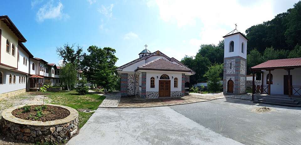
Rebuilding after a nineteenth-century fire shaped the monastery’s present architectural character. Its influence on Balkan building and art reflects its role as a spiritual and literary centre during the Bulgarian Revival.
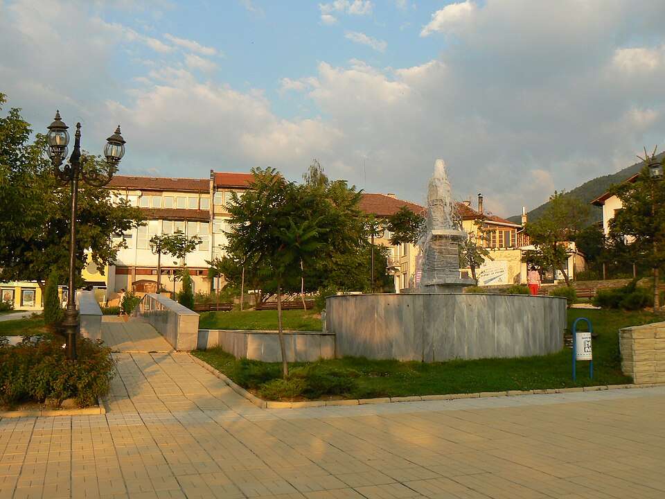
Photograph from Samoranovo (Dupnitsa Municipality)
Samoranovo is a village in Dupnitsa Municipality, Kyustendil Province, Bulgaria.
EKATTE code: 65245. Elevation range: 500–699 m.
This profile uses the official National Register of Settlements. View the location on the map and add the settlement to your personal itinerary.
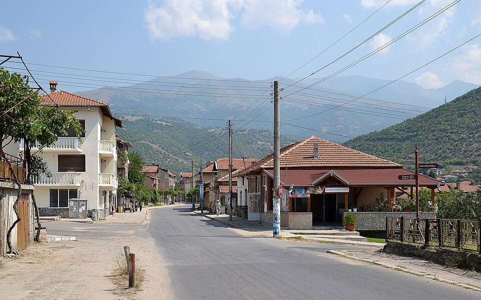
Photograph from Sapareva banya (Sapareva banya Municipality)
Sapareva banya is a city in Sapareva banya Municipality, Kyustendil Province, Bulgaria.
EKATTE code: 65365. Elevation range: 700–999 m. Municipal centre.
This profile uses the official National Register of Settlements. View the location on the map and add the settlement to your personal itinerary.
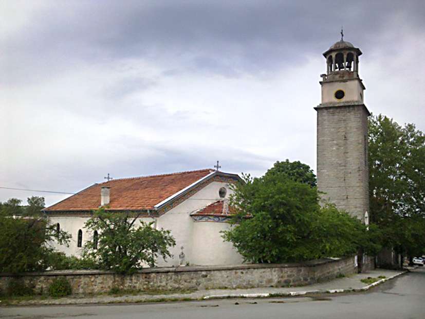
Photograph from Saparevo (Sapareva banya Municipality)
Saparevo is a village in Sapareva banya Municipality, Kyustendil Province, Bulgaria.
EKATTE code: 65379. Elevation range: 700–999 m.
This profile uses the official National Register of Settlements. View the location on the map and add the settlement to your personal itinerary.
Savoyski is a village in Kyustendil Municipality, Kyustendil Province, Bulgaria.
EKATTE code: 65047. Elevation range: ≥ 1000 m.
This profile uses the official National Register of Settlements. View the location on the map and add the settlement to your personal itinerary.
Sazhdenik is a village in Kyustendil Municipality, Kyustendil Province, Bulgaria.
EKATTE code: 65142. Elevation range: ≥ 1000 m.
This profile uses the official National Register of Settlements. View the location on the map and add the settlement to your personal itinerary.
Shatrovo is a village in Bobov dol Municipality, Kyustendil Province, Bulgaria.
EKATTE code: 83082. Elevation range: 500–699 m.
This profile uses the official National Register of Settlements. View the location on the map and add the settlement to your personal itinerary.
Shipochano is a village in Kyustendil Municipality, Kyustendil Province, Bulgaria.
EKATTE code: 83257. Elevation range: 500–699 m.
This profile uses the official National Register of Settlements. View the location on the map and add the settlement to your personal itinerary.
Photograph from Shishkovtsi (Kyustendil Municipality)
Shishkovtsi is a village in Kyustendil Municipality, Kyustendil Province, Bulgaria.
EKATTE code: 83354. Elevation range: 500–699 m.
This profile uses the official National Register of Settlements. View the location on the map and add the settlement to your personal itinerary.
Skrino is a village in Boboshevo Municipality, Kyustendil Province, Bulgaria.
EKATTE code: 66888. Elevation range: 500–699 m.
This profile uses the official National Register of Settlements. View the location on the map and add the settlement to your personal itinerary.
Skrinyano is a village in Kyustendil Municipality, Kyustendil Province, Bulgaria.
EKATTE code: 66891. Elevation range: 500–699 m.
This profile uses the official National Register of Settlements. View the location on the map and add the settlement to your personal itinerary.
Slatino is a village in Boboshevo Municipality, Kyustendil Province, Bulgaria.
EKATTE code: 67252. Elevation range: 300–499 m.
This profile uses the official National Register of Settlements. View the location on the map and add the settlement to your personal itinerary.