Markers are shown only for places with reference coordinates. Numbers link markers to the list; nearby points are grouped. Confirm the exact visiting address.
Choose up to 12 places from this page and arrange them. Your selection is temporary and clears when the page, language or filters change. In the planner you will confirm how to add them to your trip.
Choose places for your route · 24
Selected places: 0 / 12
No places selected.
The planner will check that every place is still published. This order is a proposal, not an automatically calculated road route.
Dolna Dabeva is a village in Velingrad Municipality, Pazardzhik Province, Bulgaria.
EKATTE code: 24325. Elevation range: ≥ 1000 m.
This profile uses the official National Register of Settlements. View the location on the map and add the settlement to your personal itinerary.
Dolno varshilo is a village in Septemvri Municipality, Pazardzhik Province, Bulgaria.
EKATTE code: 22592. Elevation range: 500–699 m.
This profile uses the official National Register of Settlements. View the location on the map and add the settlement to your personal itinerary.
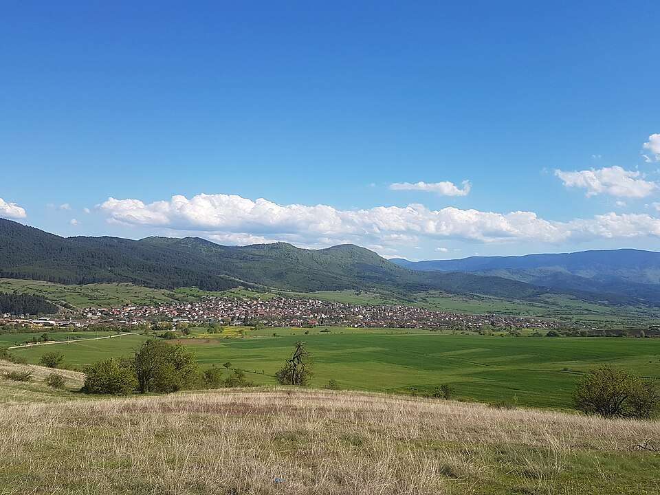
Dorkovo is a village in Rakitovo Municipality, Pazardzhik Province, Bulgaria.
EKATTE code: 23008. Elevation range: 700–999 m.
This profile uses the official National Register of Settlements. View the location on the map and add the settlement to your personal itinerary.
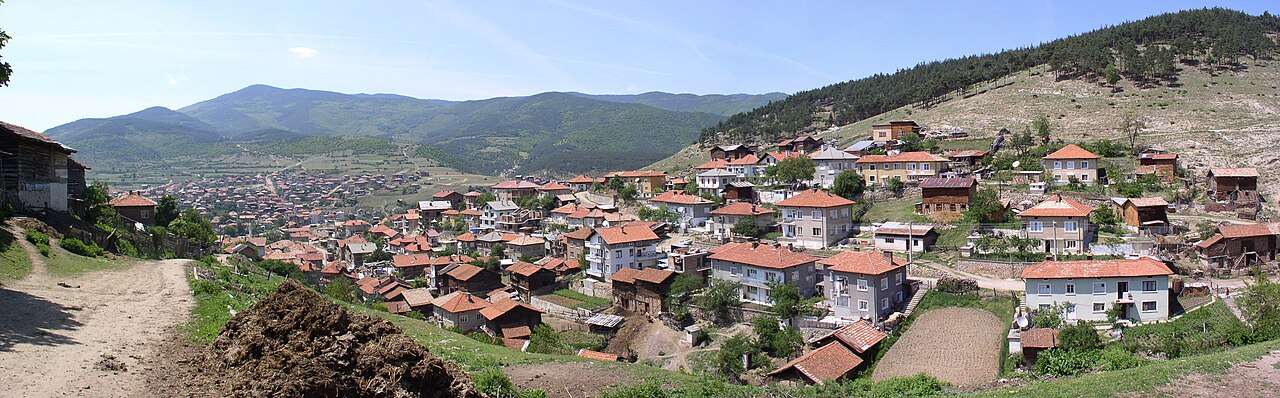
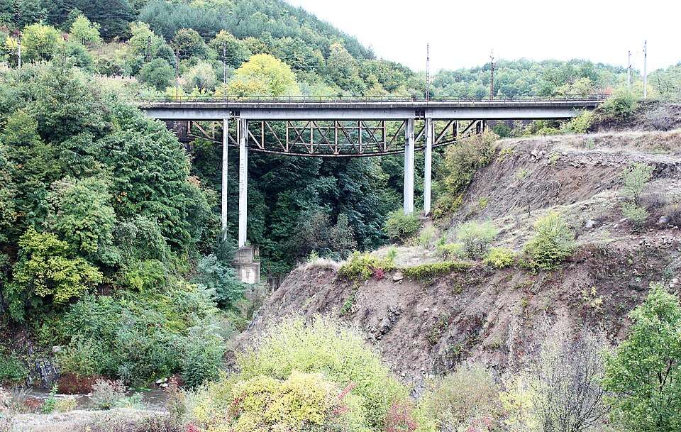
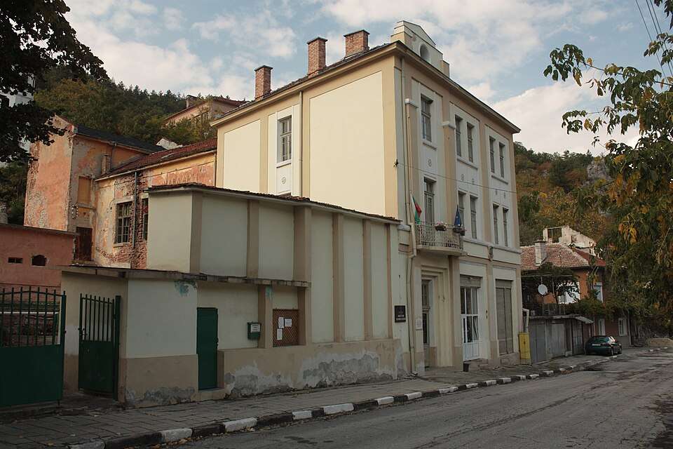
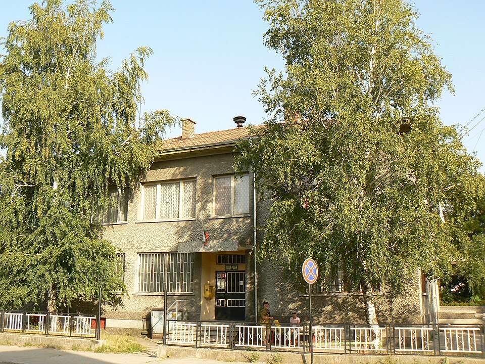
Photograph from Draginovo (Velingrad Municipality)
Draginovo is a village in Velingrad Municipality, Pazardzhik Province, Bulgaria.
EKATTE code: 23234. Elevation range: 700–999 m.
This profile uses the official National Register of Settlements. View the location on the map and add the settlement to your personal itinerary.
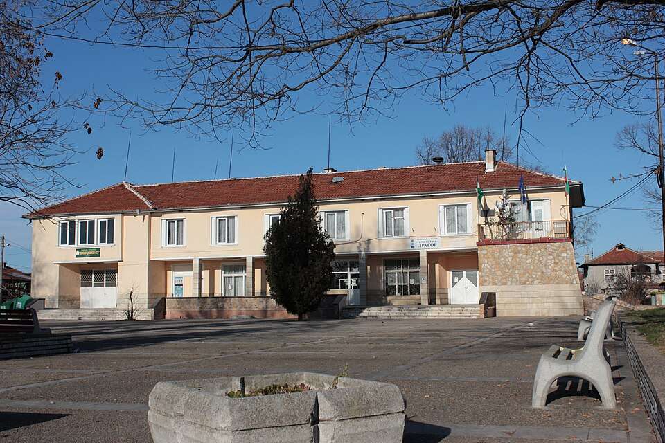
Dragor is a village in Pazardzhik Municipality, Pazardzhik Province, Bulgaria.
EKATTE code: 23457. Elevation range: 200–299 m.
This profile uses the official National Register of Settlements. View the location on the map and add the settlement to your personal itinerary.
Dyulevo is a village in Strelcha Municipality, Pazardzhik Province, Bulgaria.
EKATTE code: 24726. Elevation range: 300–499 m.
This profile uses the official National Register of Settlements. View the location on the map and add the settlement to your personal itinerary.
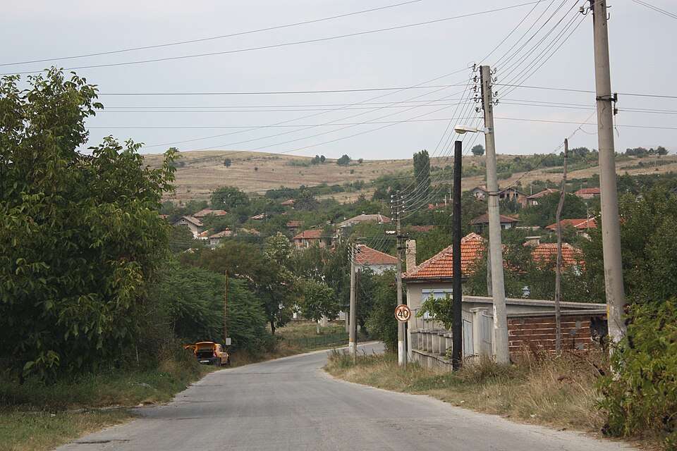
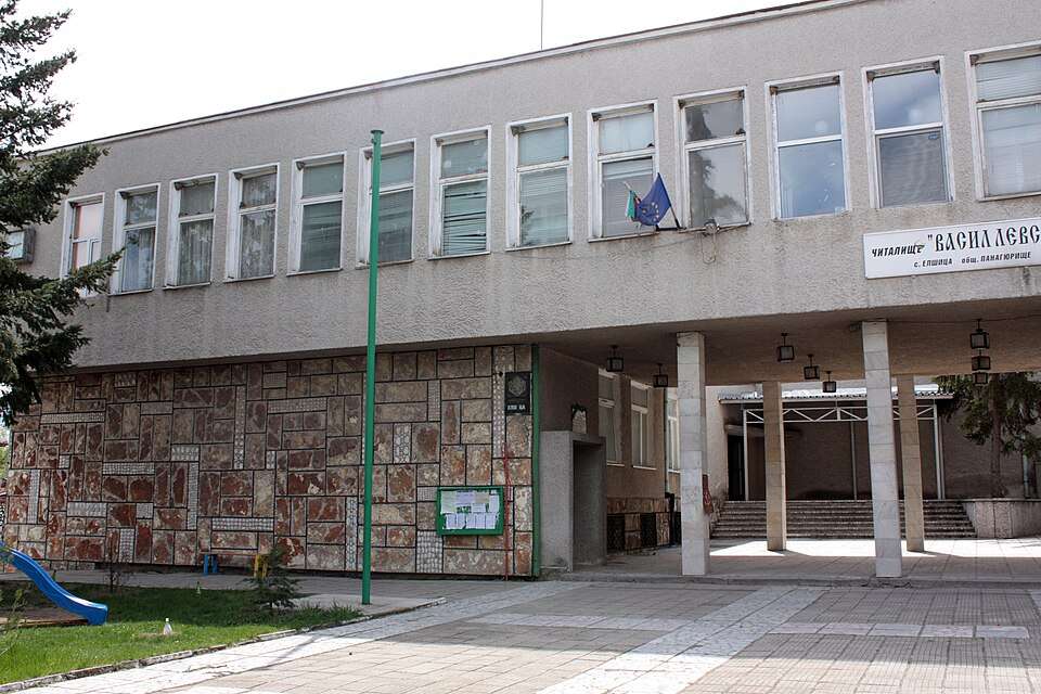
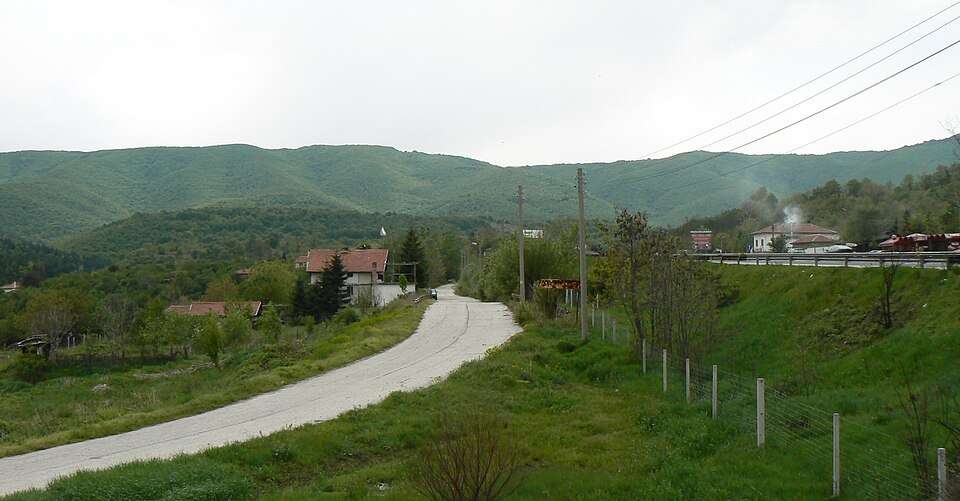
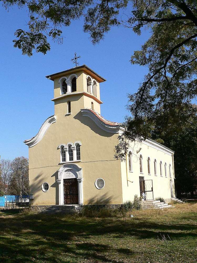
Photograph from Elshitsa (Panagyurishte Municipality)
Elshitsa is a village in Panagyurishte Municipality, Pazardzhik Province, Bulgaria.
EKATTE code: 27406. Elevation range: 300–499 m.
This profile uses the official National Register of Settlements. View the location on the map and add the settlement to your personal itinerary.
Fotinovo is a village in Batak Municipality, Pazardzhik Province, Bulgaria.
EKATTE code: 76162. Elevation range: ≥ 1000 m.
This profile uses the official National Register of Settlements. View the location on the map and add the settlement to your personal itinerary.
Gabrovitsa is a village in Belovo Municipality, Pazardzhik Province, Bulgaria.
EKATTE code: 14163. Elevation range: 500–699 m.
This profile uses the official National Register of Settlements. View the location on the map and add the settlement to your personal itinerary.
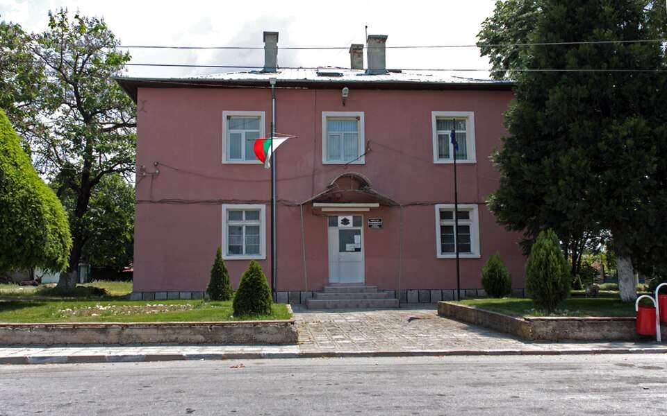
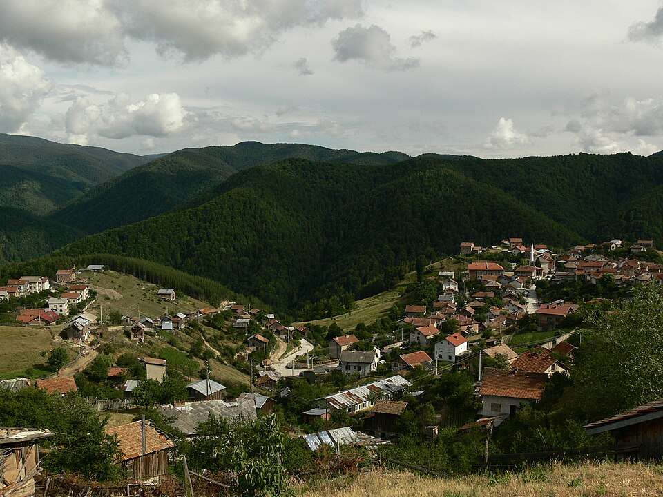
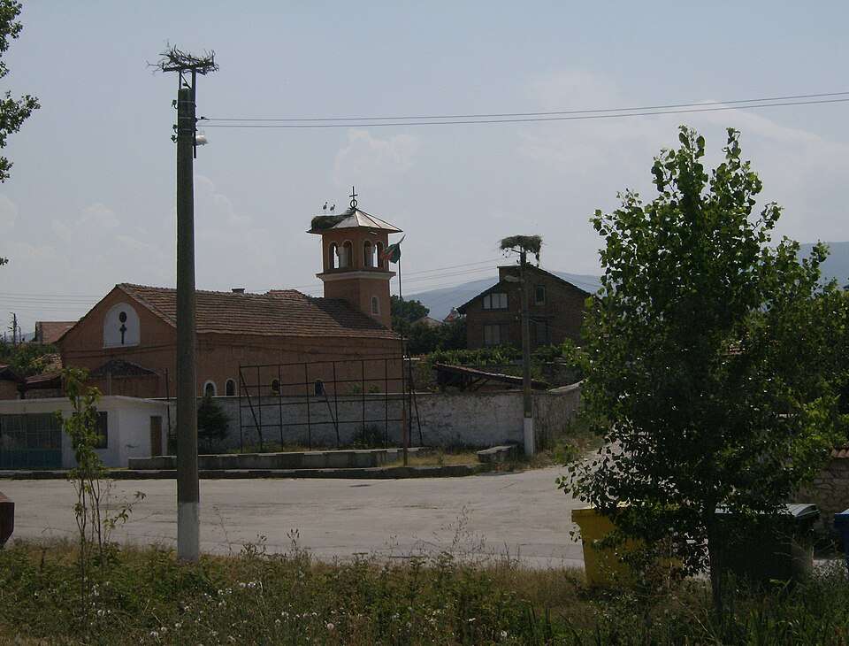
Photograph from Gelemenovo (Pazardzhik Municipality)
Gelemenovo is a village in Pazardzhik Municipality, Pazardzhik Province, Bulgaria.
EKATTE code: 14619. Elevation range: 200–299 m.
This profile uses the official National Register of Settlements. View the location on the map and add the settlement to your personal itinerary.
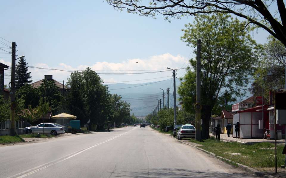
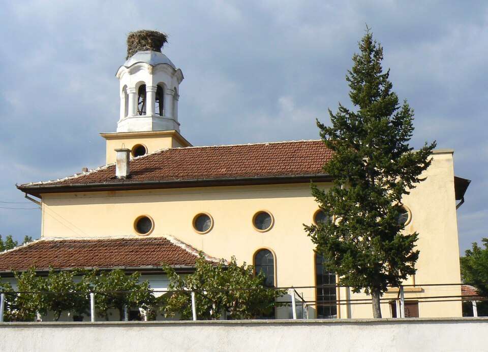
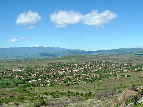
Photograph from Glavinitsa (Pazardzhik Municipality)
Glavinitsa is a village in Pazardzhik Municipality, Pazardzhik Province, Bulgaria.
EKATTE code: 15028. Elevation range: 200–299 m.
This profile uses the official National Register of Settlements. View the location on the map and add the settlement to your personal itinerary.
Photograph from Golyamo Belovo (Belovo Municipality)
Golyamo Belovo is a village in Belovo Municipality, Pazardzhik Province, Bulgaria.
EKATTE code: 15802. Elevation range: 300–499 m.
This profile uses the official National Register of Settlements. View the location on the map and add the settlement to your personal itinerary.
Gorna Birkova is a village in Velingrad Municipality, Pazardzhik Province, Bulgaria.
EKATTE code: 18513. Elevation range: ≥ 1000 m.
This profile uses the official National Register of Settlements. View the location on the map and add the settlement to your personal itinerary.
Gorna Dabeva is a village in Velingrad Municipality, Pazardzhik Province, Bulgaria.
EKATTE code: 18527. Elevation range: ≥ 1000 m.
This profile uses the official National Register of Settlements. View the location on the map and add the settlement to your personal itinerary.
Photograph from Gorno varshilo (Septemvri Municipality)
Gorno varshilo is a village in Septemvri Municipality, Pazardzhik Province, Bulgaria.
EKATTE code: 16732. Elevation range: 500–699 m.
This profile uses the official National Register of Settlements. View the location on the map and add the settlement to your personal itinerary.
Govedare is a village in Pazardzhik Municipality, Pazardzhik Province, Bulgaria.
EKATTE code: 15271. Elevation range: 200–299 m.
This profile uses the official National Register of Settlements. View the location on the map and add the settlement to your personal itinerary.
Grashevo is a village in Velingrad Municipality, Pazardzhik Province, Bulgaria.
EKATTE code: 17823. Elevation range: ≥ 1000 m.
This profile uses the official National Register of Settlements. View the location on the map and add the settlement to your personal itinerary.
Photograph from Hadzhievo (Pazardzhik Municipality)
Hadzhievo is a village in Pazardzhik Municipality, Pazardzhik Province, Bulgaria.
EKATTE code: 77061. Elevation range: 200–299 m.
This profile uses the official National Register of Settlements. View the location on the map and add the settlement to your personal itinerary.
Photograph from Isperihovo (Bratsigovo Municipality)
Isperihovo is a village in Bratsigovo Municipality, Pazardzhik Province, Bulgaria.
EKATTE code: 32888. Elevation range: 200–299 m.
This profile uses the official National Register of Settlements. View the location on the map and add the settlement to your personal itinerary.
Ivaylo is a village in Pazardzhik Municipality, Pazardzhik Province, Bulgaria.
EKATTE code: 32010. Elevation range: 200–299 m.
This profile uses the official National Register of Settlements. View the location on the map and add the settlement to your personal itinerary.
Photograph from Kalugerovo (Lesichovo Municipality)
Kalugerovo is a village in Lesichovo Municipality, Pazardzhik Province, Bulgaria.
EKATTE code: 35571. Elevation range: 200–299 m.
This profile uses the official National Register of Settlements. View the location on the map and add the settlement to your personal itinerary.
Kandovi is a village in Velingrad Municipality, Pazardzhik Province, Bulgaria.
EKATTE code: 36035. Elevation range: ≥ 1000 m.
This profile uses the official National Register of Settlements. View the location on the map and add the settlement to your personal itinerary.
Photograph from Kapitan Dimitrievo (Peshtera Municipality)
Kapitan Dimitrievo is a village in Peshtera Municipality, Pazardzhik Province, Bulgaria.
EKATTE code: 36124. Elevation range: 200–299 m.
This profile uses the official National Register of Settlements. View the location on the map and add the settlement to your personal itinerary.
Photograph from Karabunar (Septemvri Municipality)
Karabunar is a village in Septemvri Municipality, Pazardzhik Province, Bulgaria.
EKATTE code: 36172. Elevation range: 200–299 m.
This profile uses the official National Register of Settlements. View the location on the map and add the settlement to your personal itinerary.