所有地区探索保加利亚各地
舒门州
选择一个地区,探索旅行途中的景点、城市和村庄。
此地区的旅游行程
搜索覆盖整个地区,景点筛选条件和搜索半径不会限制此处的结果。
- 景点
- 9
- 城市
- 8
- 村庄
- 143
- 居民点
- 151
- 目录中的市镇
- 10
- 有照片的地点
- 51
统计包含目录中已发布且注明所属地区的地点。
州府: Shumen
找到的地点: 151 · 显示 25–48 · 页 2 / 7
当前地点地图
地图仅标出有参考坐标的地点。编号与列表对应,相邻地点会分组。请另行确认参观地址。
地图:Global Tour · 轮廓:Natural Earth
Representative point of the settlement. Overview map; confirm the exact visiting address.
居民点
Dragoevo, Veliki Preslav Municipality
Dragoevo 是保加利亚舒门州 Veliki Preslav 市镇的一处村庄。
EKATTE 代码:23340。海拔范围:100–199 米。
本资料依据官方《全国居民点登记册》编写。您可以在地图上查看位置,并将此地加入个人旅行路线。
浏览附近地点Representative point of the settlement. Overview map; confirm the exact visiting address.
居民点
Drentsi, Venets Municipality
Drentsi 是保加利亚舒门州 Venets 市镇的一处村庄。
EKATTE 代码:23724。海拔范围:300–499 米。
本资料依据官方《全国居民点登记册》编写。您可以在地图上查看位置,并将此地加入个人旅行路线。
浏览附近地点
居民点
Drumevo, Shumen Municipality
Drumevo(Shumen 市镇)的照片
Drumevo 是保加利亚舒门州 Shumen 市镇的一处村庄。
EKATTE 代码:23813。海拔范围:200–299 米。
本资料依据官方《全国居民点登记册》编写。您可以在地图上查看位置,并将此地加入个人旅行路线。
浏览附近地点图片来源: Izvora · Public domain · 许可协议
Representative point of the settlement. Overview map; confirm the exact visiting address.
居民点
Edinakovtsi, Hitrino Municipality
Edinakovtsi 是保加利亚舒门州 Hitrino 市镇的一处村庄。
EKATTE 代码:27067。海拔范围:300–499 米。
本资料依据官方《全国居民点登记册》编写。您可以在地图上查看位置,并将此地加入个人旅行路线。
浏览附近地点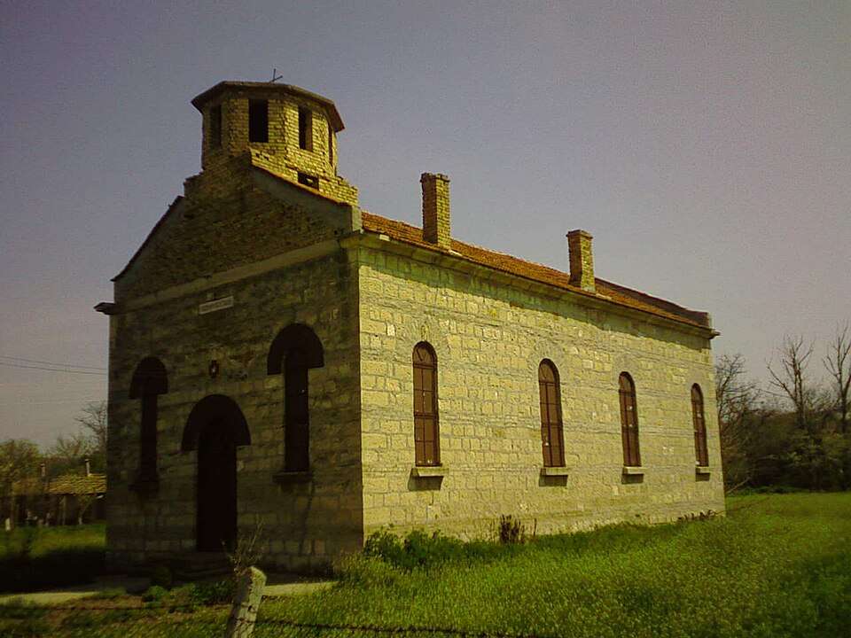
居民点
Enevo, Novi pazar Municipality
Enevo(Novi pazar 市镇)的照片
Enevo 是保加利亚舒门州 Novi pazar 市镇的一处村庄。
EKATTE 代码:27471。海拔范围:50–99 米。
本资料依据官方《全国居民点登记册》编写。您可以在地图上查看位置,并将此地加入个人旅行路线。
浏览附近地点图片来源: Izvora · Public domain · 许可协议
Representative point of the settlement. Overview map; confirm the exact visiting address.
居民点
Gabritsa, Venets Municipality
Gabritsa 是保加利亚舒门州 Venets 市镇的一处村庄。
EKATTE 代码:14132。海拔范围:300–499 米。
本资料依据官方《全国居民点登记册》编写。您可以在地图上查看位置,并将此地加入个人旅行路线。
浏览附近地点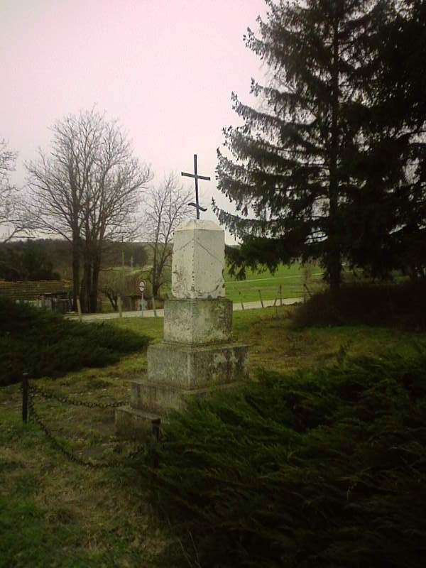
居民点
Gradishte, Shumen Municipality
Gradishte(Shumen 市镇)的照片
Gradishte 是保加利亚舒门州 Shumen 市镇的一处村庄。
EKATTE 代码:17573。海拔范围:200–299 米。
本资料依据官方《全国居民点登记册》编写。您可以在地图上查看位置,并将此地加入个人旅行路线。
浏览附近地点图片来源: Izvora · Public domain · 许可协议
Representative point of the settlement. Overview map; confirm the exact visiting address.
居民点
Gusla, Kaolinovo Municipality
Gusla 是保加利亚舒门州 Kaolinovo 市镇的一处村庄。
EKATTE 代码:18188。海拔范围:300–499 米。
本资料依据官方《全国居民点登记册》编写。您可以在地图上查看位置,并将此地加入个人旅行路线。
浏览附近地点
居民点
Han Krum, Veliki Preslav Municipality
Han Krum(Veliki Preslav 市镇)的照片
Han Krum 是保加利亚舒门州 Veliki Preslav 市镇的一处村庄。
EKATTE 代码:78210。海拔范围:50–99 米。
本资料依据官方《全国居民点登记册》编写。您可以在地图上查看位置,并将此地加入个人旅行路线。
浏览附近地点图片来源: Izvora · Public domain · 许可协议
居民点
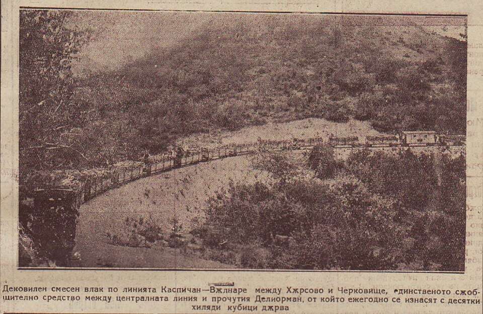
Harsovo, Nikola Kozlevo Municipality
Harsovo(Nikola Kozlevo 市镇)的历史照片
Harsovo 是保加利亚舒门州 Nikola Kozlevo 市镇的一处村庄。
EKATTE 代码:77582。海拔范围:300–499 米。
本资料依据官方《全国居民点登记册》编写。您可以在地图上查看位置,并将此地加入个人旅行路线。
浏览附近地点图片来源: вестник „Политика“ · Public domain · 许可协议
Representative point of the settlement. Overview map; confirm the exact visiting address.
居民点
Hitrino, Hitrino Municipality
Hitrino 是保加利亚舒门州 Hitrino 市镇的一处村庄。
EKATTE 代码:14516。海拔范围:300–499 米。该地是市镇行政中心。
本资料依据官方《全国居民点登记册》编写。您可以在地图上查看位置,并将此地加入个人旅行路线。
浏览附近地点Representative point of the settlement. Overview map; confirm the exact visiting address.
居民点
Iglika, Hitrino Municipality
Iglika 是保加利亚舒门州 Hitrino 市镇的一处村庄。
EKATTE 代码:32250。海拔范围:300–499 米。
本资料依据官方《全国居民点登记册》编写。您可以在地图上查看位置,并将此地加入个人旅行路线。
浏览附近地点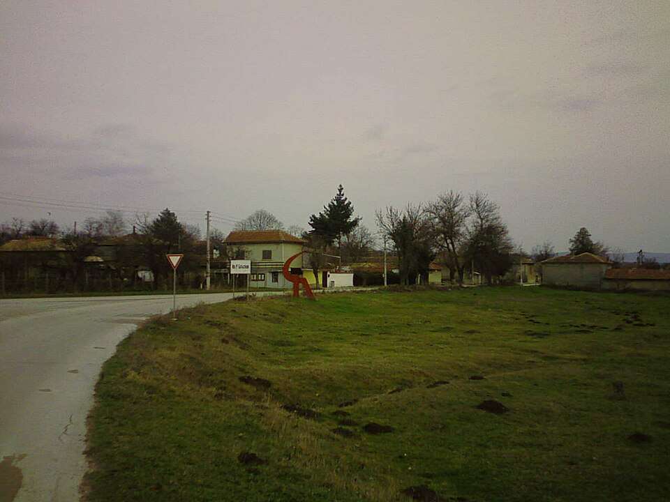
居民点
Ilia Blaskovo, Shumen Municipality
Ilia Blaskovo(Shumen 市镇)的照片
Ilia Blaskovo 是保加利亚舒门州 Shumen 市镇的一处村庄。
EKATTE 代码:32706。海拔范围:100–199 米。
本资料依据官方《全国居民点登记册》编写。您可以在地图上查看位置,并将此地加入个人旅行路线。
浏览附近地点图片来源: Izvora · CC BY-SA 3.0 · 许可协议
Representative point of the settlement. Overview map; confirm the exact visiting address.
居民点
Imrenchevo, Veliki Preslav Municipality
Imrenchevo 是保加利亚舒门州 Veliki Preslav 市镇的一处村庄。
EKATTE 代码:32723。海拔范围:200–299 米。
本资料依据官方《全国居民点登记册》编写。您可以在地图上查看位置,并将此地加入个人旅行路线。
浏览附近地点Representative point of the settlement. Overview map; confirm the exact visiting address.
居民点
Ivanovo, Varbitsa Municipality
Ivanovo 是保加利亚舒门州 Varbitsa 市镇的一处村庄。
EKATTE 代码:32113。海拔范围:200–299 米。
本资料依据官方《全国居民点登记册》编写。您可以在地图上查看位置,并将此地加入个人旅行路线。
浏览附近地点Representative point of the settlement. Overview map; confirm the exact visiting address.
居民点
Ivanski, Shumen Municipality
Ivanski 是保加利亚舒门州 Shumen 市镇的一处村庄。
EKATTE 代码:32158。海拔范围:100–199 米。
本资料依据官方《全国居民点登记册》编写。您可以在地图上查看位置,并将此地加入个人旅行路线。
浏览附近地点Representative point of the settlement. Overview map; confirm the exact visiting address.
居民点
Izbul, Novi pazar Municipality
Izbul 是保加利亚舒门州 Novi pazar 市镇的一处村庄。
EKATTE 代码:32353。海拔范围:200–299 米。
本资料依据官方《全国居民点登记册》编写。您可以在地图上查看位置,并将此地加入个人旅行路线。
浏览附近地点Representative point of the settlement. Overview map; confirm the exact visiting address.
居民点
Izgrev, Venets Municipality
Izgrev 是保加利亚舒门州 Venets 市镇的一处村庄。
EKATTE 代码:32562。海拔范围:300–499 米。
本资料依据官方《全国居民点登记册》编写。您可以在地图上查看位置,并将此地加入个人旅行路线。
浏览附近地点Representative point of the settlement. Overview map; confirm the exact visiting address.
居民点
Kalino, Hitrino Municipality
Kalino 是保加利亚舒门州 Hitrino 市镇的一处村庄。
EKATTE 代码:35417。海拔范围:300–499 米。
本资料依据官方《全国居民点登记册》编写。您可以在地图上查看位置,并将此地加入个人旅行路线。
浏览附近地点Representative point of the settlement. Overview map; confirm the exact visiting address.
居民点
Kalnovo, Smyadovo Municipality
Kalnovo 是保加利亚舒门州 Smyadovo 市镇的一处村庄。
EKATTE 代码:40840。海拔范围:50–99 米。
本资料依据官方《全国居民点登记册》编写。您可以在地图上查看位置,并将此地加入个人旅行路线。
浏览附近地点Representative point of the settlement. Overview map; confirm the exact visiting address.
居民点
Kamenyak, Hitrino Municipality
Kamenyak 是保加利亚舒门州 Hitrino 市镇的一处村庄。
EKATTE 代码:35969。海拔范围:200–299 米。
本资料依据官方《全国居民点登记册》编写。您可以在地图上查看位置,并将此地加入个人旅行路线。
浏览附近地点Representative point of the settlement. Overview map; confirm the exact visiting address.
居民点
Kaolinovo, Kaolinovo Municipality
Kaolinovo 是保加利亚舒门州 Kaolinovo 市镇的一处城市。
EKATTE 代码:36079。海拔范围:200–299 米。该地是市镇行政中心。
本资料依据官方《全国居民点登记册》编写。您可以在地图上查看位置,并将此地加入个人旅行路线。
浏览附近地点Representative point of the settlement. Overview map; confirm the exact visiting address.
居民点
Kapitan Petko, Venets Municipality
Kapitan Petko 是保加利亚舒门州 Venets 市镇的一处村庄。
EKATTE 代码:36155。海拔范围:300–499 米。
本资料依据官方《全国居民点登记册》编写。您可以在地图上查看位置,并将此地加入个人旅行路线。
浏览附近地点Representative point of the settlement. Overview map; confirm the exact visiting address.
居民点
Karavelovo, Nikola Kozlevo Municipality
Karavelovo 是保加利亚舒门州 Nikola Kozlevo 市镇的一处村庄。
EKATTE 代码:36194。海拔范围:200–299 米。
本资料依据官方《全国居民点登记册》编写。您可以在地图上查看位置,并将此地加入个人旅行路线。
浏览附近地点地区及行政区划数据来自保加利亚国家统计局 EKATTE。 НСИ · NSI
