Markers are shown only for places with reference coordinates. Numbers link markers to the list; nearby points are grouped. Confirm the exact visiting address.
Choose up to 12 places from this page and arrange them. Your selection is temporary and clears when the page, language or filters change. In the planner you will confirm how to add them to your trip.
Choose places for your route · 21
Selected places: 0 / 12
No places selected.
The planner will check that every place is still published. This order is a proposal, not an automatically calculated road route.
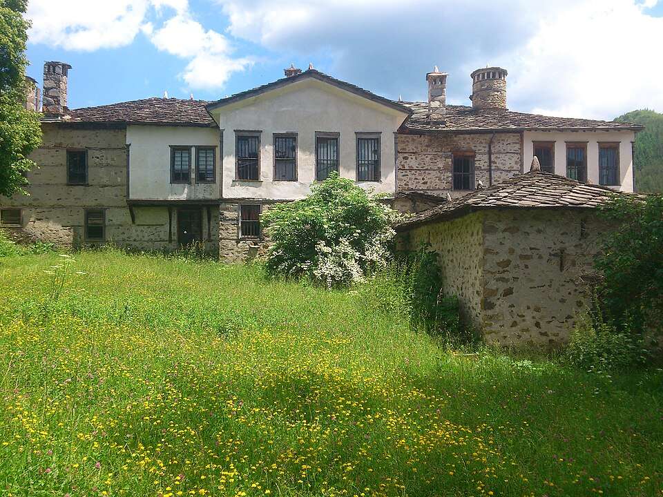
The complex was built between about 1820 and 1842. Three connected buildings have separate courtyards and wells, while a shared enclosure and tower give the family residence a fortified character.
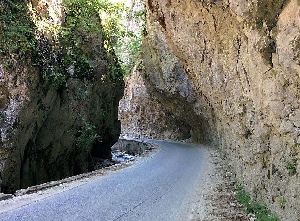
The Buynovo River, a tributary of the Vacha, carved this gorge between Teshel and the Yagodina Cave area. Rock arches, niches and caves reveal the prolonged shaping power of water.
Along the Gerzovska River, waterfalls alternate with rhyolite rocks and old coniferous forests. Orpheus Waterfall takes its name from streams of water resembling the strings of the legendary musician’s lyre.
The Trigrad River flows through a series of underground waterfalls before disappearing into a siphon. The vast Roaring Hall combines rushing water with mist, and the cave shelters hibernating bats.
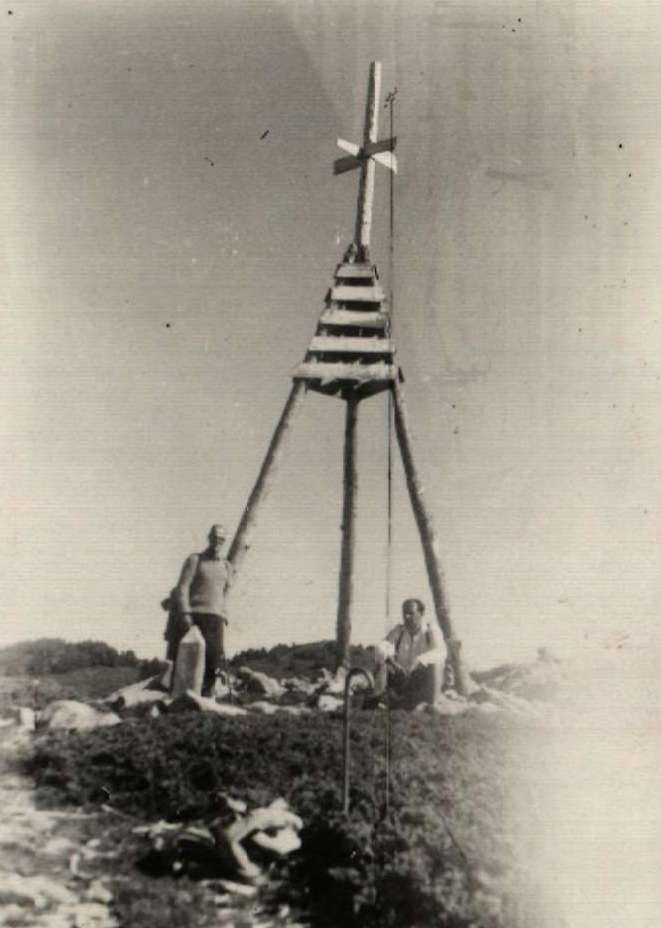
Historical photograph of Golyam Perelik Peak — Rodopi
A broad grassy plateau surrounds the highest Rhodope summit. Its main ridge separates the Arda basin from the Vacha and Chepelarska valleys, forming important watersheds in the western mountains.
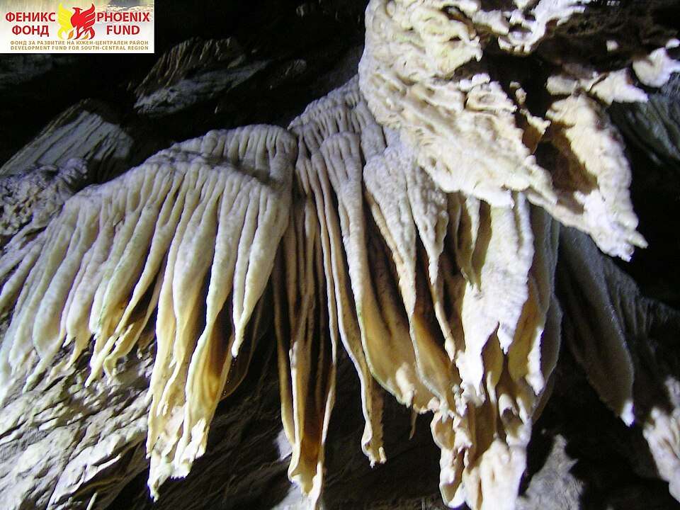
Haramiyska consists of two connected cave spaces with a substantial vertical drop between them. Traces of early inhabitants were discovered near the entrance, adding archaeological significance to the cave’s striking underground formations.
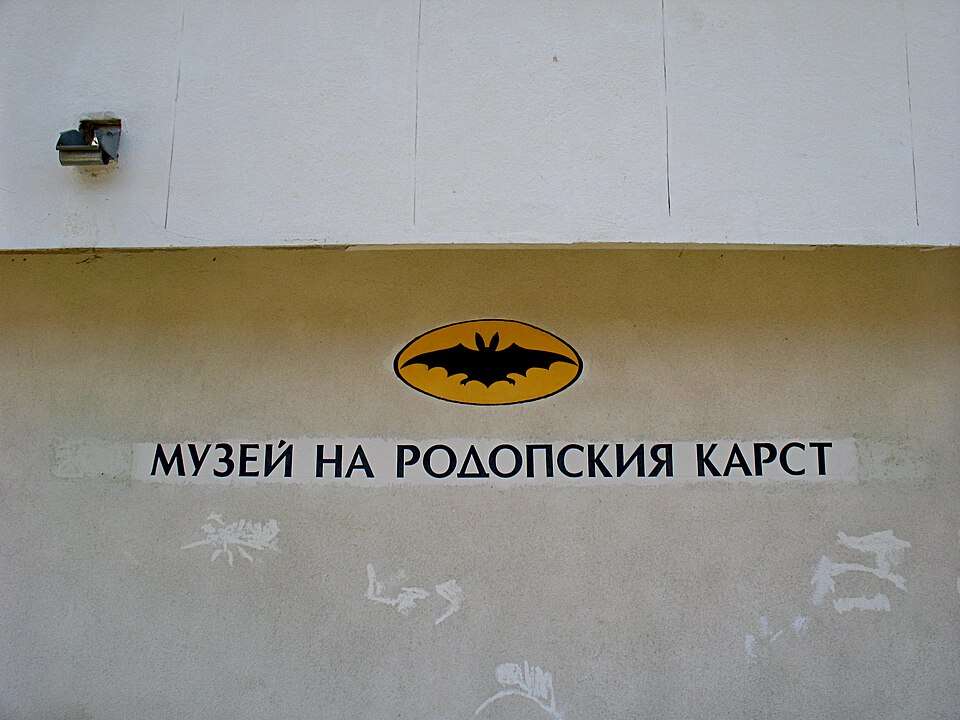
Name plaque of Museum of Rhodope Karst — Chepelare
The collections grew from cave investigations by the Studenets club under Dimitar Raychev. A cave bear skeleton, minerals and bat displays connect geology with past and present inhabitants of underground habitats.
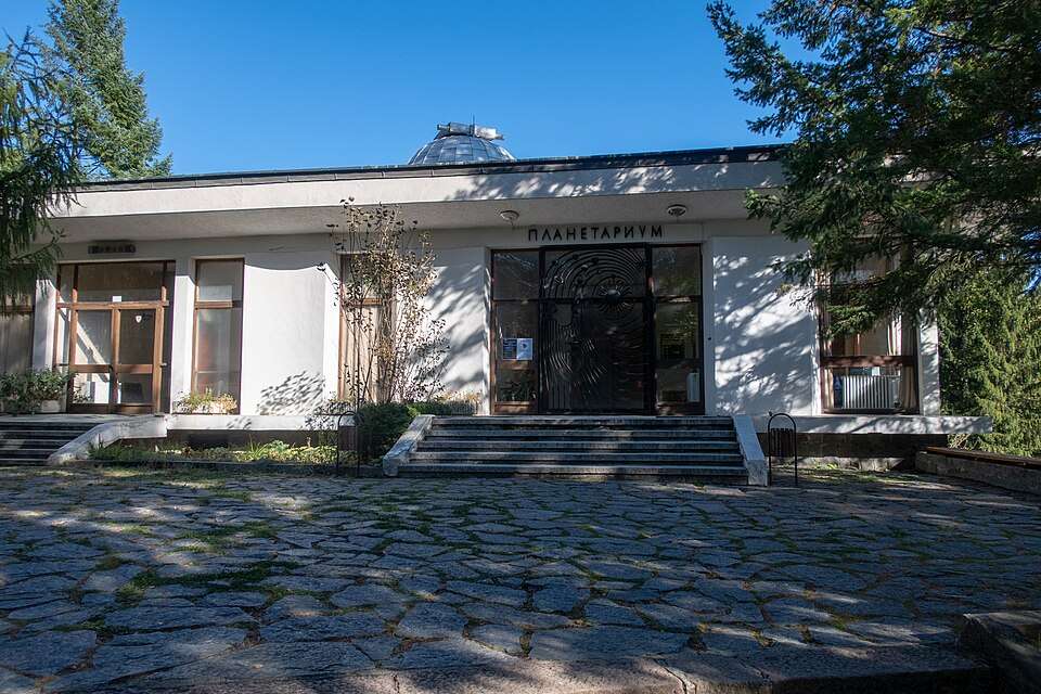
The planetarium opened on 6 September 1975. Its historic Carl Zeiss projection instrument is preserved as a museum exhibit, documenting the original mechanical and optical presentation of an artificial starry sky.
Founded in 1935, the museum collects the heritage of the Central Rhodopes. Alongside local customs and kukeri traditions, it presents Raycho Harbaliev’s donated collection of orders and medals from Bulgaria’s award system.
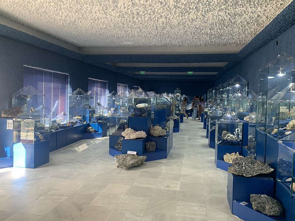
The collection presents mineral and crystal specimens extracted from mines around Madan. Their varied shapes and reflections turn the area's mining heritage into a vivid account of the Rhodopes' geological richness.
The Western Rhodopes are higher and rich in gorges and caves, while the eastern ranges have lower relief. River valleys bring Mediterranean influence, helping explain the mountain’s varied vegetation and contrasting natural landscapes.
The observatory belongs to the Bulgarian Academy of Sciences’ Institute of Astronomy. Its telescopes provide observations of the Sun, stars and galaxies for studying physical processes and the evolution of cosmic objects.
Historical photograph of Saints Constantine and Helena Church — Momchilovtsi
The church preserves the village's stoneworking tradition. Its bell tower, porch and courtyard were created by Hadzhi Nedelcho Kanev, associated with an Italian masonry school, and complement the older church.
Sharenka presents Rhodope mining history through an exhibition inside a natural cave. Ten life-size wax figures and tools recreate miners’ work, connecting the underground setting with the region’s long mining tradition.
Stone-slab roofs distinguish the village’s Rhodope Revival houses. Its ethnographic museum occupies a konak built in 1853, while the local Pesponedelnik celebration preserves traditions of masked kukeri performers and ritual games.
Snezhanka is Pamporovo's highest point and the starting place for numerous ski runs. Its television tower creates a distinctive summit silhouette, linking the mountain landscape with the resort's development.
The Trigradska River carved a narrow gorge through marble cliffs reaching 250 metres high. Protected since 1963, the gorge forms part of a karst landscape containing caves, sinkholes and rock bridges.
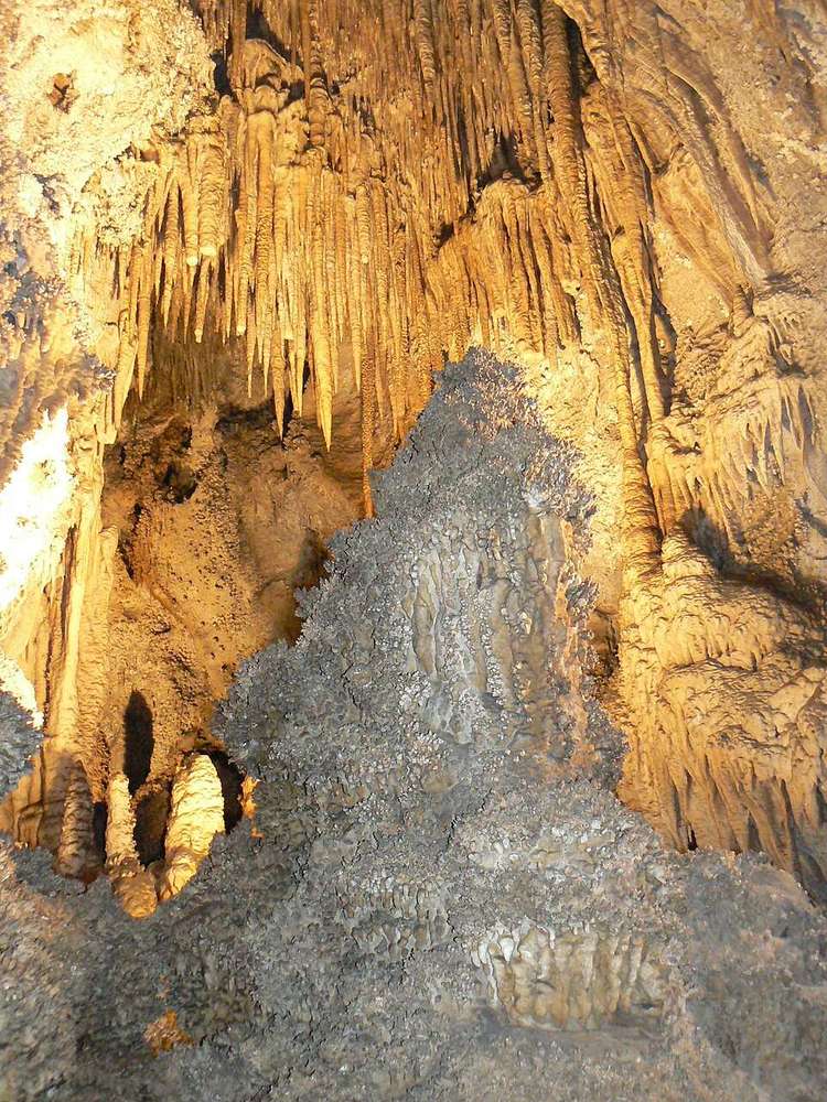
Uhlovitsa near Mogilitsa features branching formations resembling coral. Its lower level contains stone cascades and cave lakes that fill with water in early spring, beneath the upper Hall of Chasms.
The rock bridges are a karst formation associated with the collapse of an ancient cave. Connected caves and cavities in the larger bridge’s walls provide shelter for birds and bats.
Near the natural entrance, an Eneolithic pottery centre yielded vessels, a kiln, charred grain and hand mills. The underground galleries complement this human history with formations including cave pearls.
The complex combines ethnographic displays and traditional craft demonstrations among inhabited Revival houses. White façades, round chimneys and varied architectural details illustrate the distinctive local character of Rhodope homes in this historic quarter.