All places
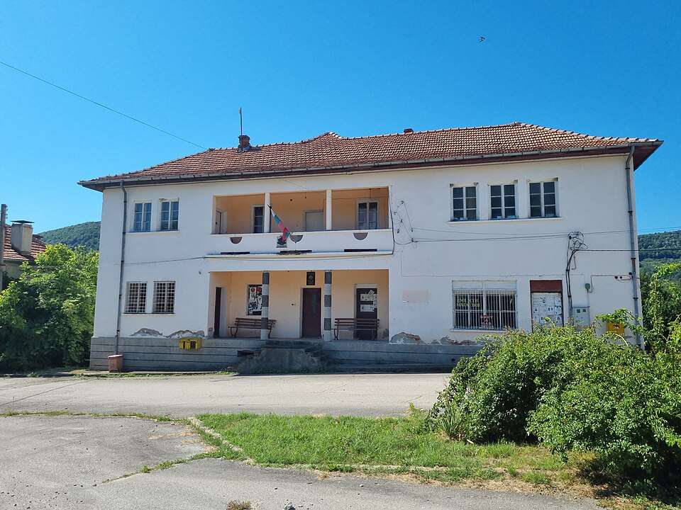
Photograph from Karaivantsa (Dryanovo Municipality)

Photograph from Karaivantsa (Dryanovo Municipality)

Photo: Bogomilshopov · CC0 · License

Bulgaria

Karaivantsa (Dryanovo Municipality)

Location: Karaivantsa, Dryanovo Municipality · Gabrovo

Settlements

Find in Google Maps
Official name
Караиванца
Settlement type
Village
Municipality
Dryanovo
EKATTE code
36261
Elevation range
300–499 m
Data: National Statistical Institute, EKATTEMore about the settlement on Wikipedia

Administrative data as of 15 May 2026. Coordinates: NSI layer 2025.1, reference date 31 December 2025.

Karaivantsa is a village in Dryanovo Municipality, Gabrovo Province, Bulgaria.

EKATTE code: 36261. Elevation range: 300–499 m.

This profile uses the official National Register of Settlements. View the location on the map and add the settlement to your personal itinerary.

Tours to this placeAdd to a private itinerary

Source

More about this place

Population and area

Population
37 people
as of
Source and references
Area reported by the source
6.823 km²
Source and references

Population refers to the stated date. Area is a reference value reported by the source.

Location and surroundings

Municipal centre
Dryanovo (Dryanovo Municipality) · ≈ 5.6 km
Provincial centre
Gabrovo (Gabrovo Municipality) · ≈ 14.1 km

Nearby sights in the catalogue

Distances are approximate straight lines between map points. They are not road distances or travel times.

Administrative centres and coordinates: NSI, EKATTE
Back to the place overview
© 2026 Global Tour