
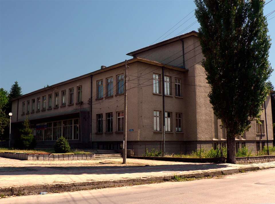
Photograph from Parvomaytsi (Gorna Oryahovitsa Municipality)
Photo: Original author and uploader was StanProg at bg.wikipedia · CC BY-SA 2.5 · LicenseBulgaria
Parvomaytsi (Gorna Oryahovitsa Municipality)
Location: Parvomaytsi, Gorna Oryahovitsa Municipality · Veliko Tarnovo
Settlements
Find in Google Maps- Official name
- Първомайци
- Settlement type
- Village
- Municipality
- Gorna Oryahovitsa
- EKATTE code
- 59094
- Elevation range
- 100–199 m
Administrative data as of 15 May 2026. Coordinates: NSI layer 2025.1, reference date 31 December 2025.
Parvomaytsi is a village in Gorna Oryahovitsa Municipality, Veliko Tarnovo Province, Bulgaria.
EKATTE code: 59094. Elevation range: 100–199 m.
This profile uses the official National Register of Settlements. View the location on the map and add the settlement to your personal itinerary.