
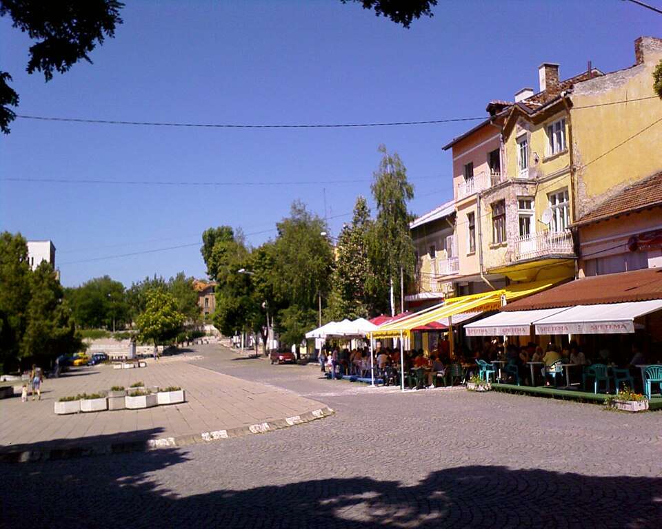
Photograph from Radomir (Radomir Municipality)
Photo: Dragomir Keranov · CC BY-SA 3.0 · LicenseBulgaria
Radomir (Radomir Municipality)
- Official name
- Радомир
- Settlement type
- City
- Municipality
- Radomir
- EKATTE code
- 61577
- Elevation range
- 700–999 m
- Administrative centre
- Municipal centre
Administrative data as of 15 May 2026. Coordinates: NSI layer 2025.1, reference date 31 December 2025.
Radomir is a city in Radomir Municipality, Pernik Province, Bulgaria.
EKATTE code: 61577. Elevation range: 700–999 m. Municipal centre.
This profile uses the official National Register of Settlements. View the location on the map and add the settlement to your personal itinerary.