All places
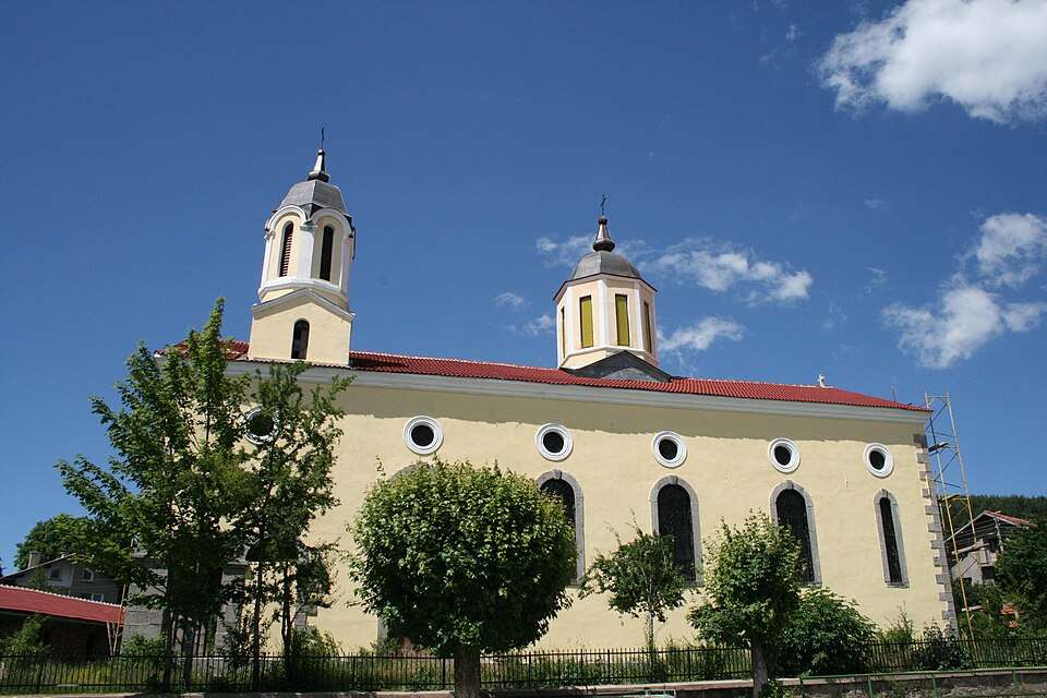
Photograph from Yarlovo (Samokov Municipality)

Photograph from Yarlovo (Samokov Municipality)

Photo: Nkfor at English Wikipedia · Public domain · License

Bulgaria

Yarlovo (Samokov Municipality)

Location: Yarlovo, Samokov Municipality · Sofia Province

Settlements

Find in Google Maps
Official name
Ярлово
Settlement type
Village
Municipality
Samokov
EKATTE code
87552
Elevation range
≥ 1000 m
Data: National Statistical Institute, EKATTEMore about the settlement on Wikipedia

Administrative data as of 15 May 2026. Coordinates: NSI layer 2025.1, reference date 31 December 2025.

Yarlovo is a village in Samokov Municipality, Sofia Province Province, Bulgaria.

EKATTE code: 87552. Elevation range: ≥ 1000 m.

This profile uses the official National Register of Settlements. View the location on the map and add the settlement to your personal itinerary.

Tours to this placeAdd to a private itinerary

Source

Practical information cannot be checked temporarily.

More about this place

Population and area

Population
336 people
as of
Source and references
Area reported by the source
71.276 km²
Source and references

Population refers to the stated date. Area is a reference value reported by the source.

Location and surroundings

Municipal centre
Samokov (Samokov Municipality) · ≈ 27.3 km
Provincial centre
Sofia (Stolichna Municipality) · ≈ 25.6 km

Distances are approximate straight lines between map points. They are not road distances or travel times.

Administrative centres and coordinates: NSI, EKATTE
Back to the place overview
© 2026 Global Tour