All places
Sozopol
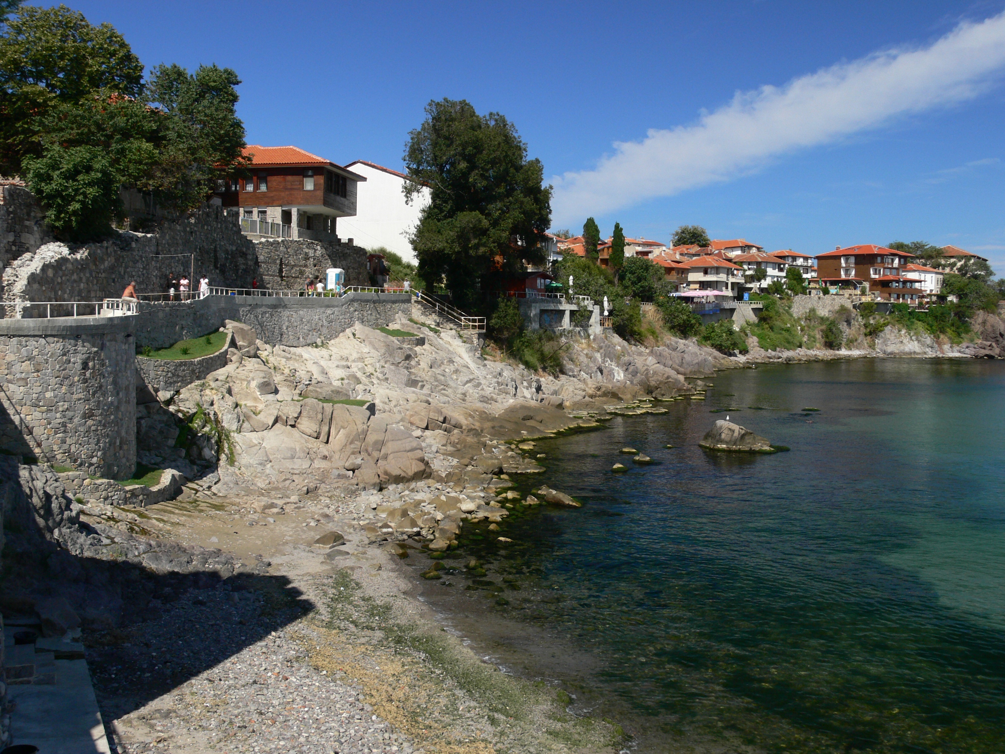
Photo: Nenko Lazarov · CC BY 2.5 · License

Bulgaria

Sozopol

Location: Sozopol · Burgas

Architecture and settlements

Find in Google Maps
Official name
Созопол
Settlement type
City
Municipality
Sozopol
EKATTE code
67800
Elevation range
0–49 m
Administrative centre
Municipal centre
Data: National Statistical Institute, EKATTEMore about the settlement on Wikipedia

Administrative data as of 15 May 2026. Coordinates: NSI layer 2025.1, reference date 31 December 2025.

Sozopol combines coastal scenery with the heritage of ancient Apollonia. In the old town, narrow streets pass traditional houses with stone bases and timber upper floors. Archaeological finds and surviving historic buildings reveal different periods of the settlement’s past. A walk around the peninsula offers sea views and characteristic architecture of Bulgaria’s southern coast.

Tours to this placeAdd to a private itinerary

Source

More about this place

Ancient Apollonia was founded by settlers from Miletus in 610 BCE. Its Apollo temple became famous for a monumental statue, taken to Rome after the city’s conquest by Roman forces in 72 BCE.

Sources for the additional information

Reviewed on

Population and area

Population
4,484 people
as of
Source and references
Area reported by the source
41.829 km²
Source and references

Population refers to the stated date. Area is a reference value reported by the source.

Location and surroundings

Municipal centre
Sozopol (Sozopol Municipality) · here
Provincial centre
Burgas (Burgas Municipality) · ≈ 20.6 km

Distances are approximate straight lines between map points. They are not road distances or travel times.

Administrative centres and coordinates: NSI, EKATTE
Back to the place overview
© 2026 Global Tour