All places
Velingrad
Photo: Marcian · CC BY-SA 3.0 · License

Bulgaria

Velingrad

Location: Velingrad · Pazardzhik

Architecture and settlements

Find in Google Maps
Official name
Велинград
Settlement type
City
Municipality
Velingrad
EKATTE code
10450
Elevation range
700–999 m
Administrative centre
Municipal centre
Data: National Statistical Institute, EKATTEMore about the settlement on Wikipedia

Administrative data as of 15 May 2026. Coordinates: NSI layer 2025.1, reference date 31 December 2025.

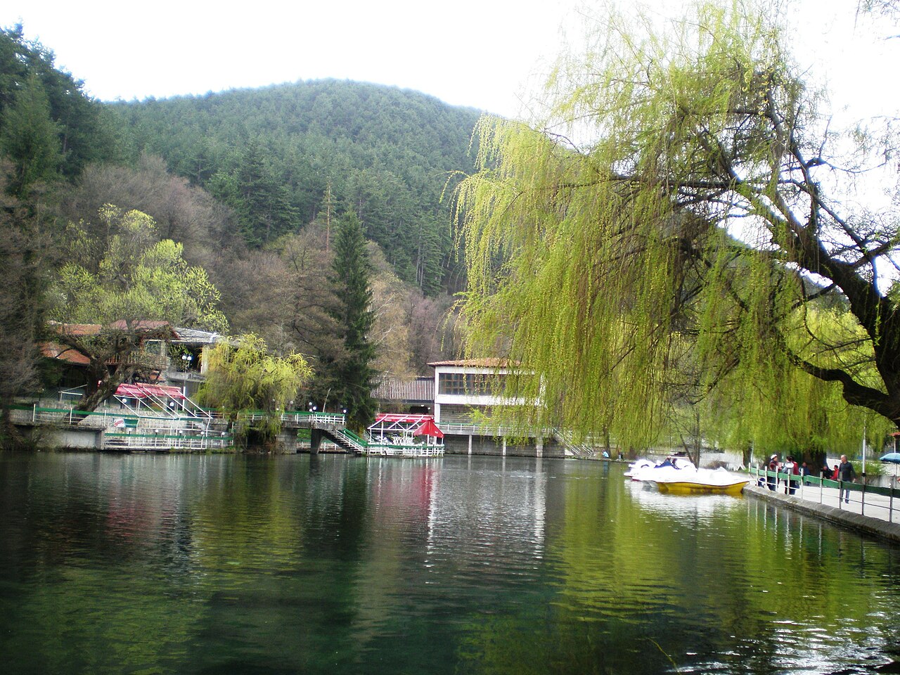
Velingrad is a Rhodope spa town known for its mineral springs. Kleptuza, a karst spring feeding lakes within a park, is one of its landmarks. Pine woodland adds to the mountain setting. The History Museum introduces local heritage, ethnography and traditions of decorating Easter eggs.

Tours to this placeAdd to a private itinerary

Source

More about this place

Velingrad was formed in 1948 by merging Kamenitsa, Ladzhene and Chepino. Alongside its mineral springs, local heritage includes the tradition of elaborately decorated Easter eggs, represented in the town’s history museum.

Sources for the additional information

Reviewed on

Population and area

Population
19,843 people
as of
Source and references
Area reported by the source
124.955 km²
Source and references

Population refers to the stated date. Area is a reference value reported by the source.

Location and surroundings

Municipal centre
Velingrad (Velingrad Municipality) · here
Provincial centre
Pazardzhik (Pazardzhik Municipality) · ≈ 33.7 km

Nearby sights in the catalogue

Distances are approximate straight lines between map points. They are not road distances or travel times.

Administrative centres and coordinates: NSI, EKATTE
Back to the place overview
© 2026 Global Tour