Places

Discover the places on our routes — history, nature and landmarks.

The catalogue continues to grow. See the linked source for visit details.

Settlements · 5,256

Places found: 5256 · Showing 4,681–4,704 of 5,256 · Page 196 / 219

Map of Bulgaria with a marker for Tyutyunche (Dzhebel Municipality)Representative point of the settlement. Overview map; confirm the exact visiting address.LOCATION · BULGARIATyutyunche (Dzhebel Municipality)NRepresentative point of the settlementMap: Global Tour · Outline: Natural Earth

Representative point of the settlement. Overview map; confirm the exact visiting address.

Bulgaria · Kardzhali

Settlements

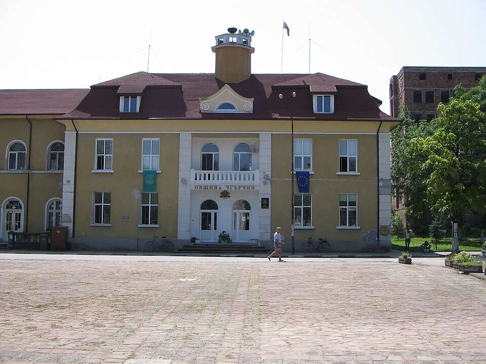
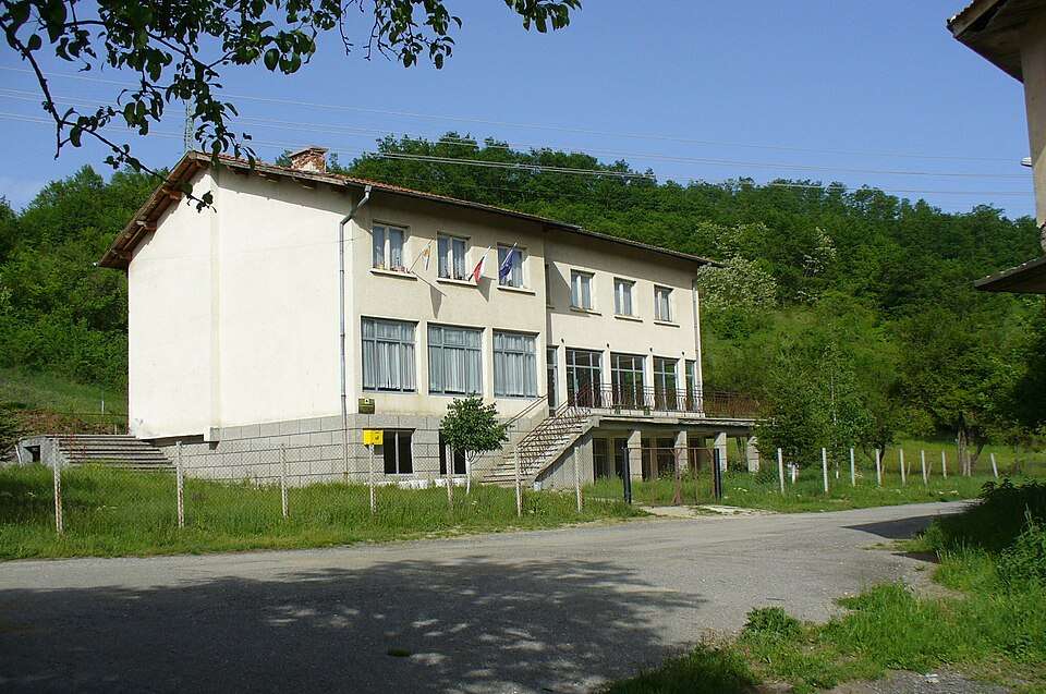
Tyutyunche (Dzhebel Municipality)

Tyutyunche is a village in Dzhebel Municipality, Kardzhali Province, Bulgaria. EKATTE code: 73804. Elevation range: 300–499 m. This profile uses the official National Register of Settlements. View the location on the map and add the settlement to your personal itinerary.

About this place
View location

Map of Bulgaria with a marker for Ugledno (Omurtag Municipality)Representative point of the settlement. Overview map; confirm the exact visiting address.LOCATION · BULGARIAUgledno (Omurtag Municipality)NRepresentative point of the settlementMap: Global Tour · Outline: Natural Earth

Representative point of the settlement. Overview map; confirm the exact visiting address.

Bulgaria · Targovishte

Settlements

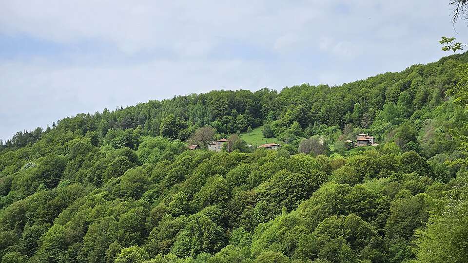
Ugledno (Omurtag Municipality)

Ugledno is a village in Omurtag Municipality, Targovishte Province, Bulgaria. EKATTE code: 75013. Elevation range: 300–499 m. This profile uses the official National Register of Settlements. View the location on the map and add the settlement to your personal itinerary.

About this place
View location

Map of Bulgaria with a marker for Ugorelets (Sevlievo Municipality)Representative point of the settlement. Overview map; confirm the exact visiting address.LOCATION · BULGARIAUgorelets (Sevlievo Municipality)NRepresentative point of the settlementMap: Global Tour · Outline: Natural Earth

Representative point of the settlement. Overview map; confirm the exact visiting address.

Bulgaria · Gabrovo

Settlements

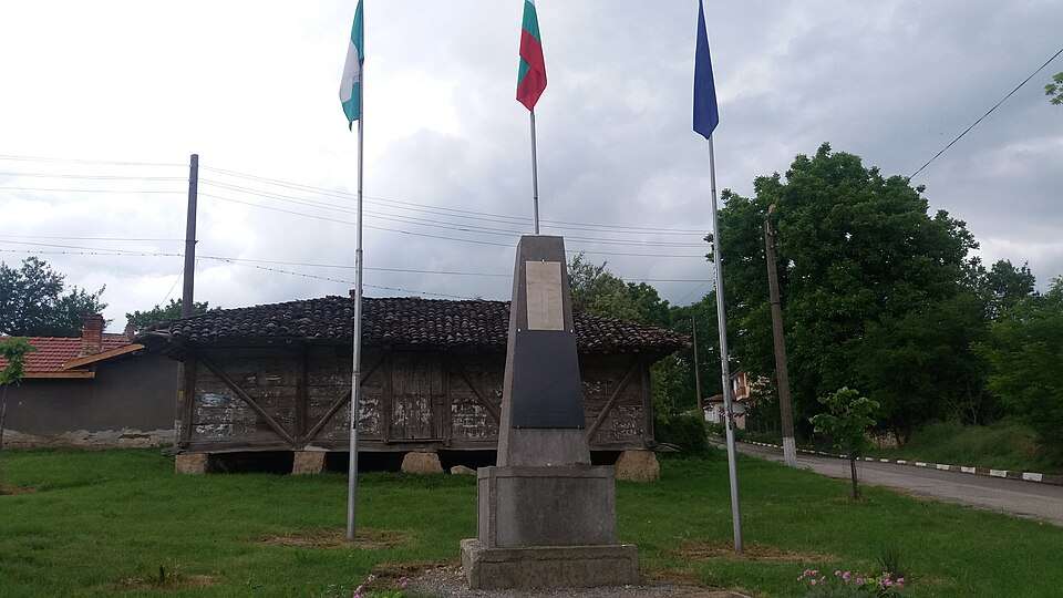
Ugorelets (Sevlievo Municipality)

Ugorelets is a village in Sevlievo Municipality, Gabrovo Province, Bulgaria. EKATTE code: 75037. Elevation range: 500–699 m. This profile uses the official National Register of Settlements. View the location on the map and add the settlement to your personal itinerary.

About this place
View location

Map of Bulgaria with a marker for Ugoryalkovtsi (Elena Municipality)Representative point of the settlement. Overview map; confirm the exact visiting address.LOCATION · BULGARIAUgoryalkovtsi (Elena Municipality)NRepresentative point of the settlementMap: Global Tour · Outline: Natural Earth

Representative point of the settlement. Overview map; confirm the exact visiting address.

Bulgaria · Veliko Tarnovo

Settlements

Ugoryalkovtsi (Elena Municipality)

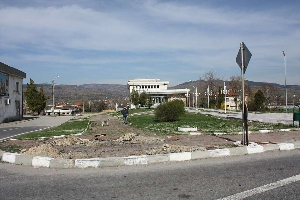
Ugoryalkovtsi is a village in Elena Municipality, Veliko Tarnovo Province, Bulgaria. EKATTE code: 75040. Elevation range: 300–499 m. This profile uses the official National Register of Settlements. View the location on the map and add the settlement to your personal itinerary.

About this place
View location

Map of Bulgaria with a marker for Umarevtsi (Lovech Municipality)Representative point of the settlement. Overview map; confirm the exact visiting address.LOCATION · BULGARIAUmarevtsi (Lovech Municipality)NRepresentative point of the settlementMap: Global Tour · Outline: Natural Earth

Representative point of the settlement. Overview map; confirm the exact visiting address.

Bulgaria · Lovech

Settlements

Umarevtsi (Lovech Municipality)

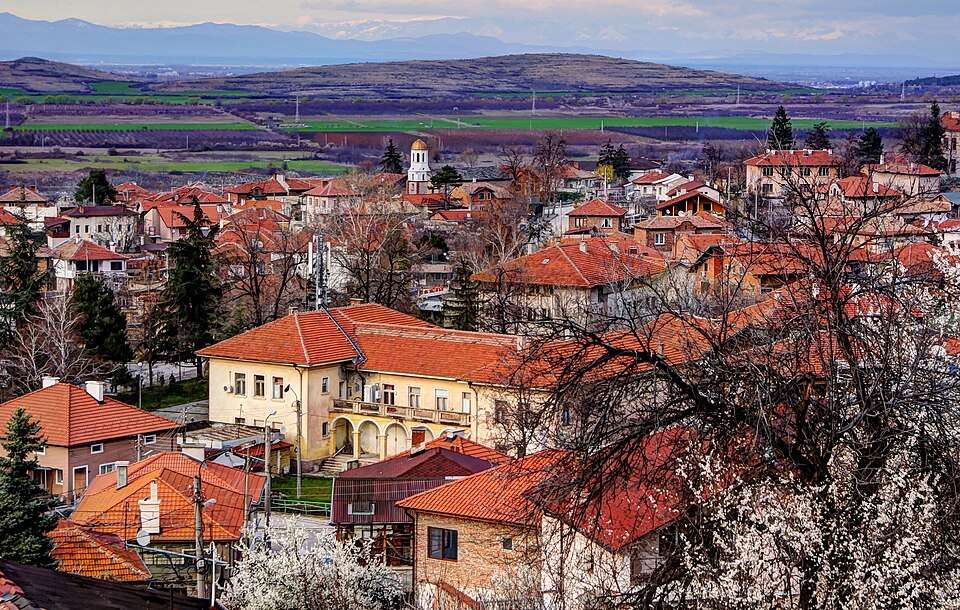
Umarevtsi is a village in Lovech Municipality, Lovech Province, Bulgaria. EKATTE code: 75112. Elevation range: 100–199 m. This profile uses the official National Register of Settlements. View the location on the map and add the settlement to your personal itinerary.

About this place
View location

Map of Bulgaria with a marker for Urovene (Krivodol Municipality)Representative point of the settlement. Overview map; confirm the exact visiting address.LOCATION · BULGARIAUrovene (Krivodol Municipality)NRepresentative point of the settlementMap: Global Tour · Outline: Natural Earth

Representative point of the settlement. Overview map; confirm the exact visiting address.

Bulgaria · Vratsa

Settlements

Urovene (Krivodol Municipality)

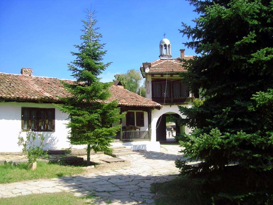
Urovene is a village in Krivodol Municipality, Vratsa Province, Bulgaria. EKATTE code: 75143. Elevation range: 100–199 m. This profile uses the official National Register of Settlements. View the location on the map and add the settlement to your personal itinerary.

About this place
View location

Map of Bulgaria with a marker for Uruchevtsi (Madan Municipality)Representative point of the settlement. Overview map; confirm the exact visiting address.LOCATION · BULGARIAUruchevtsi (Madan Municipality)NRepresentative point of the settlementMap: Global Tour · Outline: Natural Earth

Representative point of the settlement. Overview map; confirm the exact visiting address.

Bulgaria · Smolyan

Settlements

Uruchevtsi (Madan Municipality)

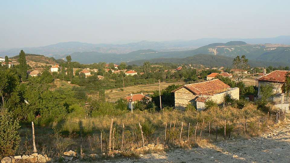
Uruchevtsi is a village in Madan Municipality, Smolyan Province, Bulgaria. EKATTE code: 75157. Elevation range: 700–999 m. This profile uses the official National Register of Settlements. View the location on the map and add the settlement to your personal itinerary.

About this place
View location

Map of Bulgaria with a marker for Urvata (Tryavna Municipality)Representative point of the settlement. Overview map; confirm the exact visiting address.LOCATION · BULGARIAUrvata (Tryavna Municipality)NRepresentative point of the settlementMap: Global Tour · Outline: Natural Earth

Representative point of the settlement. Overview map; confirm the exact visiting address.

Bulgaria · Gabrovo

Settlements

Urvata (Tryavna Municipality)

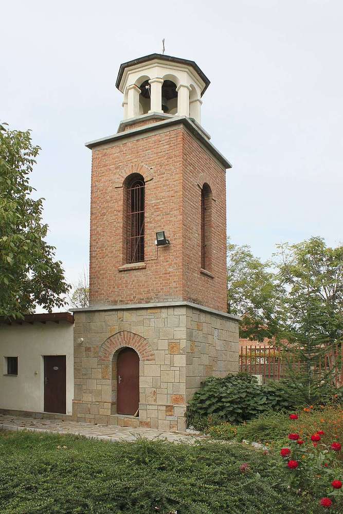
Urvata is a village in Tryavna Municipality, Gabrovo Province, Bulgaria. EKATTE code: 75139. Elevation range: 500–699 m. This profile uses the official National Register of Settlements. View the location on the map and add the settlement to your personal itinerary.

About this place
View location

Map of Bulgaria with a marker for Ushevtsi (Veliko Tarnovo Municipality)Representative point of the settlement. Overview map; confirm the exact visiting address.LOCATION · BULGARIAUshevtsi (Veliko Tarnovo Municipality)NRepresentative point of the settlementMap: Global Tour · Outline: Natural Earth

Representative point of the settlement. Overview map; confirm the exact visiting address.

Bulgaria · Veliko Tarnovo

Settlements

Ushevtsi (Veliko Tarnovo Municipality)

Ushevtsi is a village in Veliko Tarnovo Municipality, Veliko Tarnovo Province, Bulgaria. EKATTE code: 75229. Elevation range: 300–499 m. This profile uses the official National Register of Settlements. View the location on the map and add the settlement to your personal itinerary.

About this place
View location

Map of Bulgaria with a marker for Ushi (Treklyano Municipality)Representative point of the settlement. Overview map; confirm the exact visiting address.LOCATION · BULGARIAUshi (Treklyano Municipality)NRepresentative point of the settlementMap: Global Tour · Outline: Natural Earth

Representative point of the settlement. Overview map; confirm the exact visiting address.

Bulgaria · Kyustendil

Settlements

Ushi (Treklyano Municipality)

Ushi is a village in Treklyano Municipality, Kyustendil Province, Bulgaria. EKATTE code: 75232. Elevation range: ≥ 1000 m. This profile uses the official National Register of Settlements. View the location on the map and add the settlement to your personal itinerary.

About this place
View location

Map of Bulgaria with a marker for Uzovo (General Toshevo Municipality)Representative point of the settlement. Overview map; confirm the exact visiting address.LOCATION · BULGARIAUzovo (General Toshevo Municipality)NRepresentative point of the settlementMap: Global Tour · Outline: Natural Earth

Representative point of the settlement. Overview map; confirm the exact visiting address.

Bulgaria · Dobrich

Settlements

Uzovo (General Toshevo Municipality)

Uzovo is a village in General Toshevo Municipality, Dobrich Province, Bulgaria. EKATTE code: 75068. Elevation range: 100–199 m. This profile uses the official National Register of Settlements. View the location on the map and add the settlement to your personal itinerary.

About this place
View location

Map of Bulgaria with a marker for Uzunite (Gabrovo Municipality)Representative point of the settlement. Overview map; confirm the exact visiting address.LOCATION · BULGARIAUzunite (Gabrovo Municipality)NRepresentative point of the settlementMap: Global Tour · Outline: Natural Earth

Representative point of the settlement. Overview map; confirm the exact visiting address.

Bulgaria · Gabrovo

Settlements

Uzunite (Gabrovo Municipality)

Uzunite is a village in Gabrovo Municipality, Gabrovo Province, Bulgaria. EKATTE code: 75099. Elevation range: 300–499 m. This profile uses the official National Register of Settlements. View the location on the map and add the settlement to your personal itinerary.

About this place
View location

Map of Bulgaria with a marker for Uzunovo (Asenovgrad Municipality)Representative point of the settlement. Overview map; confirm the exact visiting address.LOCATION · BULGARIAUzunovo (Asenovgrad Municipality)NRepresentative point of the settlementMap: Global Tour · Outline: Natural Earth

Representative point of the settlement. Overview map; confirm the exact visiting address.

Bulgaria · Plovdiv

Settlements

Uzunovo (Asenovgrad Municipality)

Uzunovo is a village in Asenovgrad Municipality, Plovdiv Province, Bulgaria. EKATTE code: 75254. Elevation range: 700–999 m. This profile uses the official National Register of Settlements. View the location on the map and add the settlement to your personal itinerary.

About this place
View location

Map of Bulgaria with a marker for Vabel (Nikopol Municipality)Representative point of the settlement. Overview map; confirm the exact visiting address.LOCATION · BULGARIAVabel (Nikopol Municipality)NRepresentative point of the settlementMap: Global Tour · Outline: Natural Earth

Representative point of the settlement. Overview map; confirm the exact visiting address.

Bulgaria · Pleven

Settlements

Vabel (Nikopol Municipality)

Vabel is a village in Nikopol Municipality, Pleven Province, Bulgaria. EKATTE code: 12365. Elevation range: 200–299 m. This profile uses the official National Register of Settlements. View the location on the map and add the settlement to your personal itinerary.

About this place
View location

Map of Bulgaria with a marker for Vaglarovo (Haskovo Municipality)Representative point of the settlement. Overview map; confirm the exact visiting address.LOCATION · BULGARIAVaglarovo (Haskovo Municipality)NRepresentative point of the settlementMap: Global Tour · Outline: Natural Earth

Representative point of the settlement. Overview map; confirm the exact visiting address.

Bulgaria · Haskovo

Settlements

Vaglarovo (Haskovo Municipality)

Vaglarovo is a village in Haskovo Municipality, Haskovo Province, Bulgaria. EKATTE code: 12382. Elevation range: 200–299 m. This profile uses the official National Register of Settlements. View the location on the map and add the settlement to your personal itinerary.

About this place
View location

© 2026 Global Tour