Places

Discover the places on our routes — history, nature and landmarks.

The catalogue continues to grow. See the linked source for visit details.

Settlements · 5,256

Places found: 5256 · Showing 5,209–5,232 of 5,256 · Page 218 / 219

Map of Bulgaria with a marker for Zlatna niva (Kaspichan Municipality)Representative point of the settlement. Overview map; confirm the exact visiting address.LOCATION · BULGARIAZlatna niva (Kaspichan Municipality)NRepresentative point of the settlementMap: Global Tour · Outline: Natural Earth

Representative point of the settlement. Overview map; confirm the exact visiting address.

Bulgaria · Shumen

Settlements

Zlatna niva (Kaspichan Municipality)

Zlatna niva is a village in Kaspichan Municipality, Shumen Province, Bulgaria. EKATTE code: 31084. Elevation range: 200–299 m. This profile uses the official National Register of Settlements. View the location on the map and add the settlement to your personal itinerary.

About this place
View location

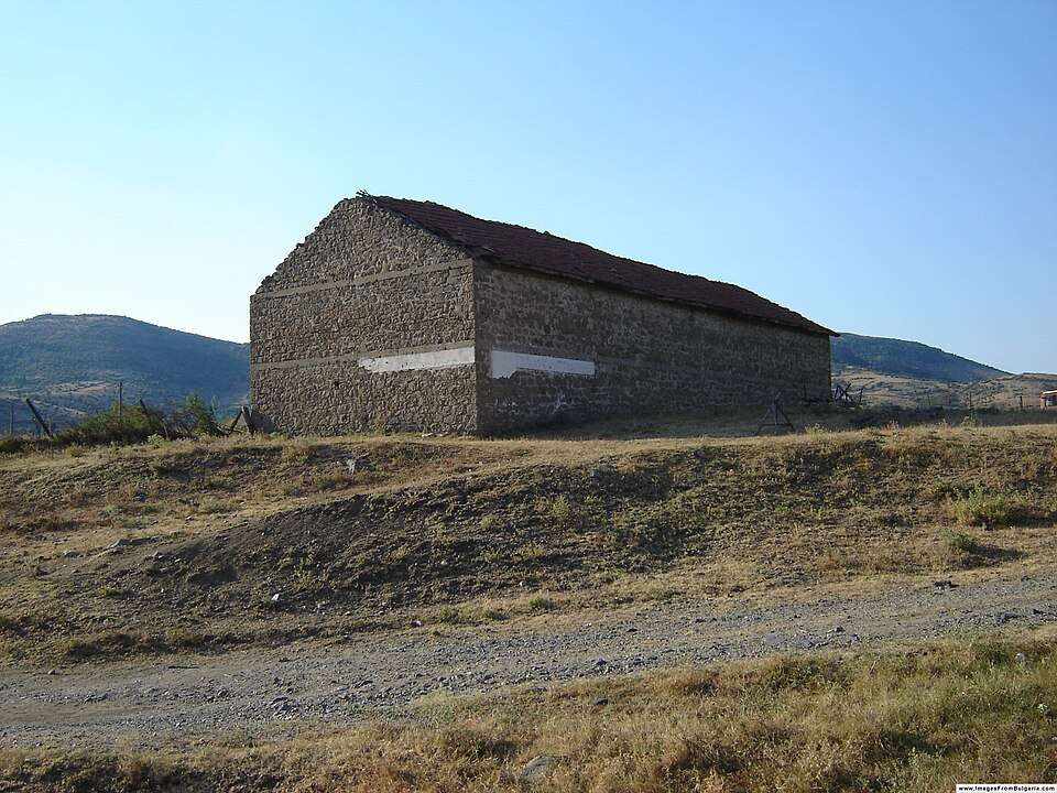
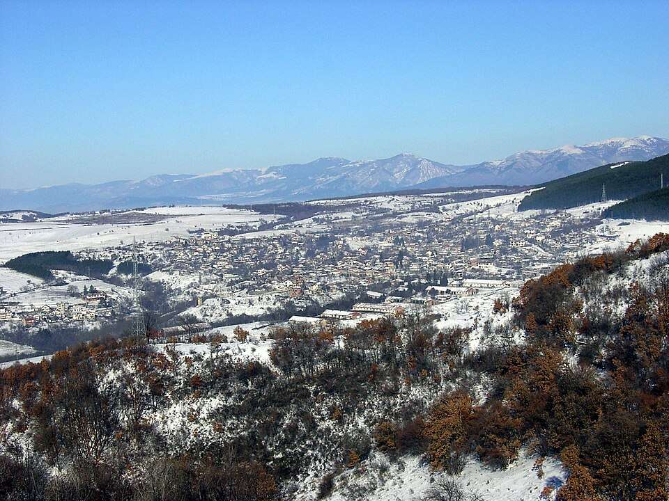
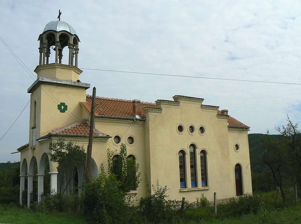
Photograph from Zlatna Panega (Yablanitsa Municipality)

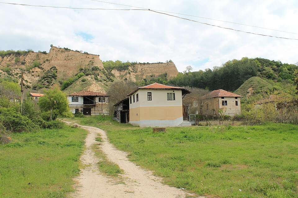
Photograph from Zlatna Panega (Yablanitsa Municipality)

Bulgaria · Lovech

Settlements

Zlatna Panega (Yablanitsa Municipality)

Zlatna Panega is a village in Yablanitsa Municipality, Lovech Province, Bulgaria. EKATTE code: 31098. Elevation range: 200–299 m. This profile uses the official National Register of Settlements. View the location on the map and add the settlement to your personal itinerary.

About this place

Photo: Vassia Atanassova - Spiritia · Public domain · License

View location

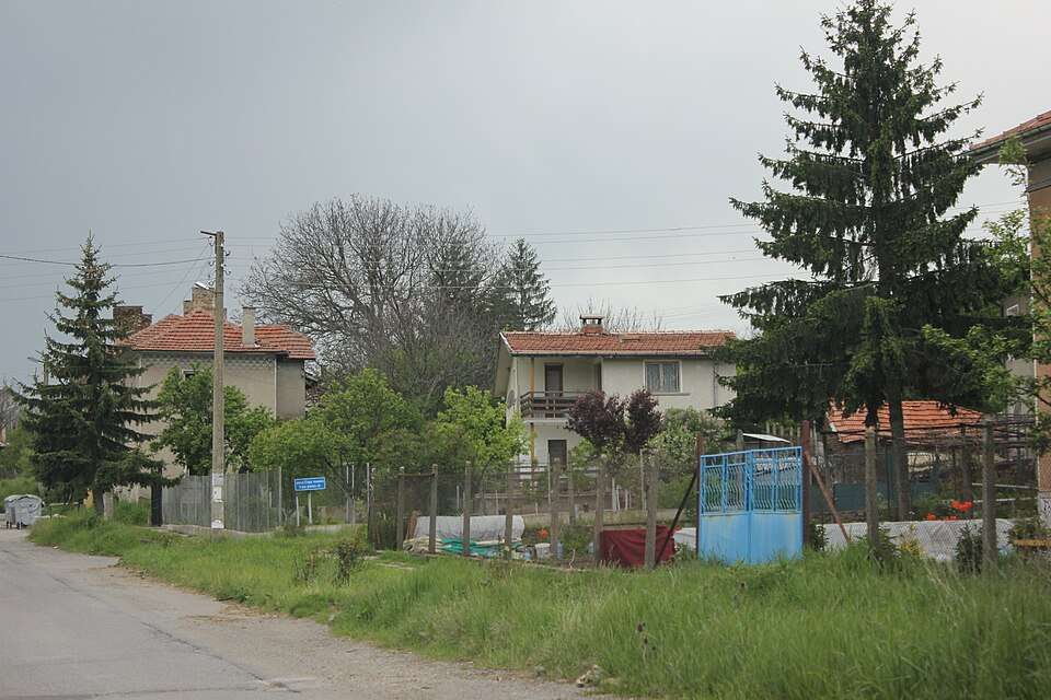
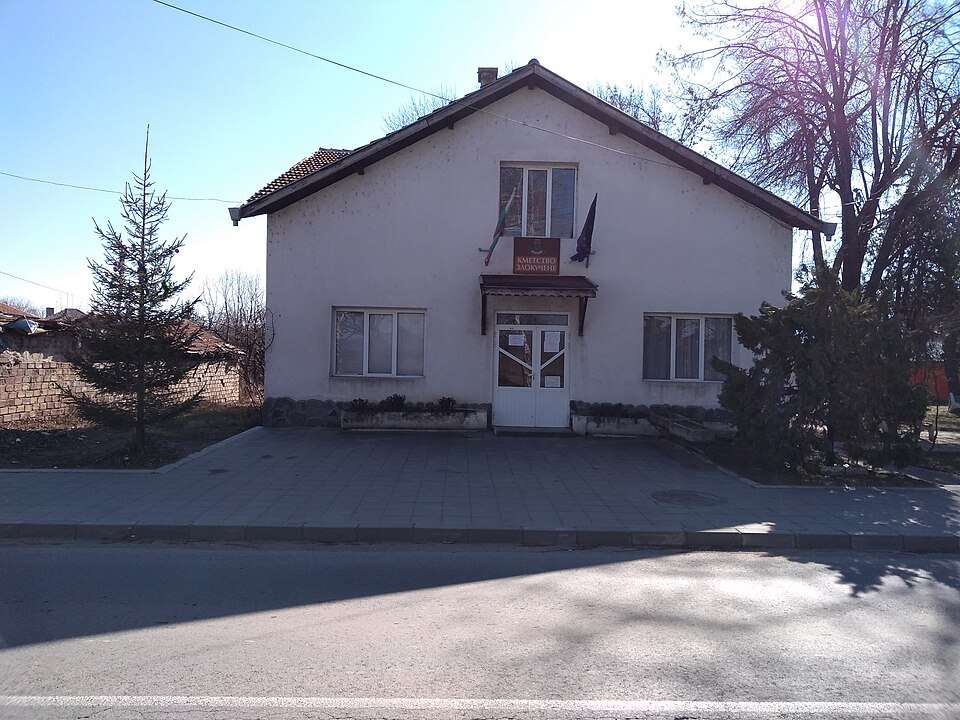
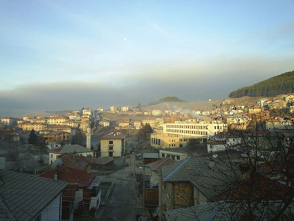
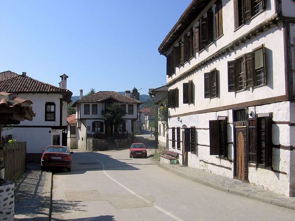
Photograph from Zlatograd (Zlatograd Municipality)

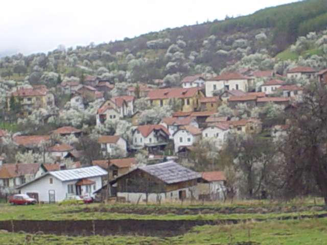
Photograph from Zlatograd (Zlatograd Municipality)

Bulgaria · Smolyan

Settlements

Zlatograd (Zlatograd Municipality)

Zlatograd is a city in Zlatograd Municipality, Smolyan Province, Bulgaria. EKATTE code: 31111. Elevation range: 300–499 m. Municipal centre. This profile uses the official National Register of Settlements. View the location on the map and add the settlement to your personal itinerary.

About this place

Photo: Dzverbg at the Bulgarian language Wikipedia · CC BY-SA 3.0 · License

View location
Map of Bulgaria with a marker for Zlatoklas (Dulovo Municipality)Representative point of the settlement. Overview map; confirm the exact visiting address.LOCATION · BULGARIAZlatoklas (Dulovo Municipality)NRepresentative point of the settlementMap: Global Tour · Outline: Natural Earth

Representative point of the settlement. Overview map; confirm the exact visiting address.

Bulgaria · Silistra

Settlements

Zlatoklas (Dulovo Municipality)

Zlatoklas is a village in Dulovo Municipality, Silistra Province, Bulgaria. EKATTE code: 31125. Elevation range: 100–199 m. This profile uses the official National Register of Settlements. View the location on the map and add the settlement to your personal itinerary.

About this place
View location

Map of Bulgaria with a marker for Zlatopole (Dimitrovgrad Municipality)Representative point of the settlement. Overview map; confirm the exact visiting address.LOCATION · BULGARIAZlatopole (Dimitrovgrad Municipality)NRepresentative point of the settlementMap: Global Tour · Outline: Natural Earth

Representative point of the settlement. Overview map; confirm the exact visiting address.

Bulgaria · Haskovo

Settlements

Zlatopole (Dimitrovgrad Municipality)

Zlatopole is a village in Dimitrovgrad Municipality, Haskovo Province, Bulgaria. EKATTE code: 31156. Elevation range: 50–99 m. This profile uses the official National Register of Settlements. View the location on the map and add the settlement to your personal itinerary.

About this place
View location

Map of Bulgaria with a marker for Zlatosel (Brezovo Municipality)Representative point of the settlement. Overview map; confirm the exact visiting address.LOCATION · BULGARIAZlatosel (Brezovo Municipality)NRepresentative point of the settlementMap: Global Tour · Outline: Natural Earth

Representative point of the settlement. Overview map; confirm the exact visiting address.

Bulgaria · Plovdiv

Settlements

Zlatosel (Brezovo Municipality)

Zlatosel is a village in Brezovo Municipality, Plovdiv Province, Bulgaria. EKATTE code: 31160. Elevation range: 300–499 m. This profile uses the official National Register of Settlements. View the location on the map and add the settlement to your personal itinerary.

About this place
View location

Map of Bulgaria with a marker for Zlatoustovo (Madzharovo Municipality)Representative point of the settlement. Overview map; confirm the exact visiting address.LOCATION · BULGARIAZlatoustovo (Madzharovo Municipality)NRepresentative point of the settlementMap: Global Tour · Outline: Natural Earth

Representative point of the settlement. Overview map; confirm the exact visiting address.

Bulgaria · Haskovo

Settlements

Zlatoustovo (Madzharovo Municipality)

Zlatoustovo is a village in Madzharovo Municipality, Haskovo Province, Bulgaria. EKATTE code: 31173. Elevation range: 300–499 m. This profile uses the official National Register of Settlements. View the location on the map and add the settlement to your personal itinerary.

About this place
View location

Map of Bulgaria with a marker for Zlatovrah (Asenovgrad Municipality)Representative point of the settlement. Overview map; confirm the exact visiting address.LOCATION · BULGARIAZlatovrah (Asenovgrad Municipality)NRepresentative point of the settlementMap: Global Tour · Outline: Natural Earth

Representative point of the settlement. Overview map; confirm the exact visiting address.

Bulgaria · Plovdiv

Settlements

Zlatovrah (Asenovgrad Municipality)

Zlatovrah is a village in Asenovgrad Municipality, Plovdiv Province, Bulgaria. EKATTE code: 31108. Elevation range: 200–299 m. This profile uses the official National Register of Settlements. View the location on the map and add the settlement to your personal itinerary.

About this place
View location

Map of Bulgaria with a marker for Zlidol (Mezdra Municipality)Representative point of the settlement. Overview map; confirm the exact visiting address.LOCATION · BULGARIAZlidol (Mezdra Municipality)NRepresentative point of the settlementMap: Global Tour · Outline: Natural Earth

Representative point of the settlement. Overview map; confirm the exact visiting address.

Bulgaria · Vratsa

Settlements

Zlidol (Mezdra Municipality)

Zlidol is a village in Mezdra Municipality, Vratsa Province, Bulgaria. EKATTE code: 31190. Elevation range: 300–499 m. This profile uses the official National Register of Settlements. View the location on the map and add the settlement to your personal itinerary.

About this place
View location

Map of Bulgaria with a marker for Zmeevo (Balchik Municipality)Representative point of the settlement. Overview map; confirm the exact visiting address.LOCATION · BULGARIAZmeevo (Balchik Municipality)NRepresentative point of the settlementMap: Global Tour · Outline: Natural Earth

Representative point of the settlement. Overview map; confirm the exact visiting address.

Bulgaria · Dobrich

Settlements

Zmeevo (Balchik Municipality)

Zmeevo is a village in Balchik Municipality, Dobrich Province, Bulgaria. EKATTE code: 31245. Elevation range: 200–299 m. This profile uses the official National Register of Settlements. View the location on the map and add the settlement to your personal itinerary.

About this place
View location

Map of Bulgaria with a marker for Zmeyno (Omurtag Municipality)Representative point of the settlement. Overview map; confirm the exact visiting address.LOCATION · BULGARIAZmeyno (Omurtag Municipality)NRepresentative point of the settlementMap: Global Tour · Outline: Natural Earth

Representative point of the settlement. Overview map; confirm the exact visiting address.

Bulgaria · Targovishte

Settlements

Zmeyno (Omurtag Municipality)

Zmeyno is a village in Omurtag Municipality, Targovishte Province, Bulgaria. EKATTE code: 31262. Elevation range: 500–699 m. This profile uses the official National Register of Settlements. View the location on the map and add the settlement to your personal itinerary.

About this place
View location

Map of Bulgaria with a marker for Zmievo (Smolyan Municipality)Representative point of the settlement. Overview map; confirm the exact visiting address.LOCATION · BULGARIAZmievo (Smolyan Municipality)NRepresentative point of the settlementMap: Global Tour · Outline: Natural Earth

Representative point of the settlement. Overview map; confirm the exact visiting address.

Bulgaria · Smolyan

Settlements

Zmievo (Smolyan Municipality)

Zmievo is a village in Smolyan Municipality, Smolyan Province, Bulgaria. EKATTE code: 31285. Elevation range: ≥ 1000 m. This profile uses the official National Register of Settlements. View the location on the map and add the settlement to your personal itinerary.

About this place
View location

Map of Bulgaria with a marker for Znamenosets (Radnevo Municipality)Representative point of the settlement. Overview map; confirm the exact visiting address.LOCATION · BULGARIAZnamenosets (Radnevo Municipality)NRepresentative point of the settlementMap: Global Tour · Outline: Natural Earth

Representative point of the settlement. Overview map; confirm the exact visiting address.

Bulgaria · Stara Zagora

Settlements

Znamenosets (Radnevo Municipality)

Znamenosets is a village in Radnevo Municipality, Stara Zagora Province, Bulgaria. EKATTE code: 31293. Elevation range: 100–199 m. This profile uses the official National Register of Settlements. View the location on the map and add the settlement to your personal itinerary.

About this place
View location

Map of Bulgaria with a marker for Zograf (General Toshevo Municipality)Representative point of the settlement. Overview map; confirm the exact visiting address.LOCATION · BULGARIAZograf (General Toshevo Municipality)NRepresentative point of the settlementMap: Global Tour · Outline: Natural Earth

Representative point of the settlement. Overview map; confirm the exact visiting address.

Bulgaria · Dobrich

Settlements

Zograf (General Toshevo Municipality)

Zograf is a village in General Toshevo Municipality, Dobrich Province, Bulgaria. EKATTE code: 31303. Elevation range: 200–299 m. This profile uses the official National Register of Settlements. View the location on the map and add the settlement to your personal itinerary.

About this place
View location

Map of Bulgaria with a marker for Zornitsa (Aksakovo Municipality)Representative point of the settlement. Overview map; confirm the exact visiting address.LOCATION · BULGARIAZornitsa (Aksakovo Municipality)NRepresentative point of the settlementMap: Global Tour · Outline: Natural Earth

Representative point of the settlement. Overview map; confirm the exact visiting address.

Bulgaria · Varna

Settlements

Zornitsa (Aksakovo Municipality)

Zornitsa is a village in Aksakovo Municipality, Varna Province, Bulgaria. EKATTE code: 31334. Elevation range: 300–499 m. This profile uses the official National Register of Settlements. View the location on the map and add the settlement to your personal itinerary.

About this place
View location

© 2026 Global Tour