Representative point of the settlement. Overview map; confirm the exact visiting address.
保加利亚 · 大特尔诺沃州
居民点
Badevtsi(Elena 市镇)
Badevtsi 是保加利亚大特尔诺沃州 Elena 市镇的一处村庄。 EKATTE 代码:02169。海拔范围:500–699 米。 本资料依据官方《全国居民点登记册》编写。您可以在地图上查看位置,并将此地加入个人旅行路线。
查看详情
探索旅行路线上的自然景观、历史遗迹和文化景点。
景点目录持续更新。参观详情请查看景点页面中的来源链接。
保加利亚居民点 · 5,256找到景点: 5256 · 显示第 97–120 项,共 5,256 · 页 5 / 219
Representative point of the settlement. Overview map; confirm the exact visiting address.
保加利亚 · 大特尔诺沃州
居民点
Badevtsi 是保加利亚大特尔诺沃州 Elena 市镇的一处村庄。 EKATTE 代码:02169。海拔范围:500–699 米。 本资料依据官方《全国居民点登记册》编写。您可以在地图上查看位置,并将此地加入个人旅行路线。
查看详情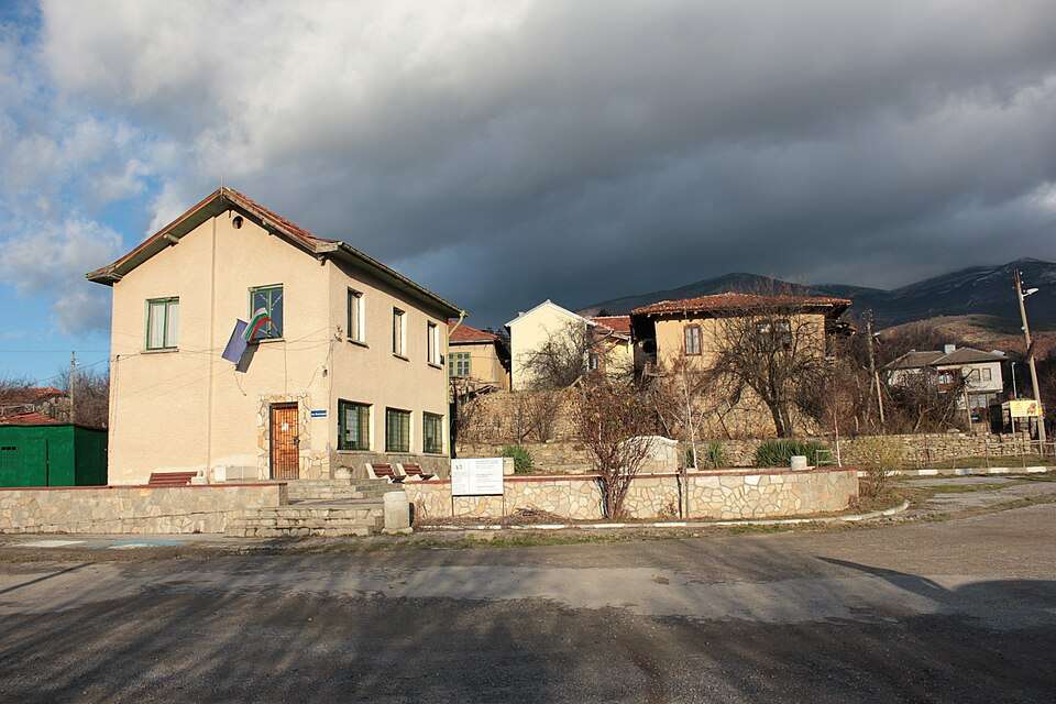
Badino(Boboshevo 市镇)的照片
保加利亚 · 丘斯滕迪尔州
居民点
Badino 是保加利亚丘斯滕迪尔州 Boboshevo 市镇的一处村庄。 EKATTE 代码:02172。海拔范围:700–999 米。 本资料依据官方《全国居民点登记册》编写。您可以在地图上查看位置,并将此地加入个人旅行路线。
查看详情图片来源: Anton Lefterov · CC BY-SA 4.0 · 许可协议
查看位置Representative point of the settlement. Overview map; confirm the exact visiting address.
保加利亚 · 大特尔诺沃州
居民点
Baevtsi 是保加利亚大特尔诺沃州 Elena 市镇的一处村庄。 EKATTE 代码:02191。海拔范围:300–499 米。 本资料依据官方《全国居民点登记册》编写。您可以在地图上查看位置,并将此地加入个人旅行路线。
查看详情Representative point of the settlement. Overview map; confirm the exact visiting address.
保加利亚 · 加布罗沃州
居民点
Baevtsi 是保加利亚加布罗沃州 Gabrovo 市镇的一处村庄。 EKATTE 代码:02207。海拔范围:300–499 米。 本资料依据官方《全国居民点登记册》编写。您可以在地图上查看位置,并将此地加入个人旅行路线。
查看详情Representative point of the settlement. Overview map; confirm the exact visiting address.
保加利亚 · 大特尔诺沃州
居民点
Bagalevtsi 是保加利亚大特尔诺沃州 Elena 市镇的一处村庄。 EKATTE 代码:02110。海拔范围:300–499 米。 本资料依据官方《全国居民点登记册》编写。您可以在地图上查看位置,并将此地加入个人旅行路线。
查看详情Representative point of the settlement. Overview map; confirm the exact visiting address.
保加利亚 · 克尔贾利州
居民点
Bagra 是保加利亚克尔贾利州 Kardzhali 市镇的一处村庄。 EKATTE 代码:02124。海拔范围:500–699 米。 本资料依据官方《全国居民点登记册》编写。您可以在地图上查看位置,并将此地加入个人旅行路线。
查看详情Representative point of the settlement. Overview map; confirm the exact visiting address.
保加利亚 · 丘斯滕迪尔州
居民点
Bagrentsi 是保加利亚丘斯滕迪尔州 Kyustendil 市镇的一处村庄。 EKATTE 代码:02138。海拔范围:300–499 米。 本资料依据官方《全国居民点登记册》编写。您可以在地图上查看位置,并将此地加入个人旅行路线。
查看详情Representative point of the settlement. Overview map; confirm the exact visiting address.
保加利亚 · 克尔贾利州
居民点
Bagriltsi 是保加利亚克尔贾利州 Krumovgrad 市镇的一处村庄。 EKATTE 代码:02141。海拔范围:500–699 米。 本资料依据官方《全国居民点登记册》编写。您可以在地图上查看位置,并将此地加入个人旅行路线。
查看详情Representative point of the settlement. Overview map; confirm the exact visiting address.
保加利亚 · 克尔贾利州
居民点
Bagryanka 是保加利亚克尔贾利州 Momchilgrad 市镇的一处村庄。 EKATTE 代码:02155。海拔范围:300–499 米。 本资料依据官方《全国居民点登记册》编写。您可以在地图上查看位置,并将此地加入个人旅行路线。
查看详情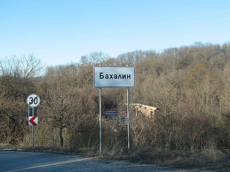
Bahalin(Slivnitsa 市镇)的照片
保加利亚 · 索菲亚州
居民点
Bahalin 是保加利亚索菲亚州 Slivnitsa 市镇的一处村庄。 EKATTE 代码:02926。海拔范围:500–699 米。 本资料依据官方《全国居民点登记册》编写。您可以在地图上查看位置,并将此地加入个人旅行路线。
查看详情图片来源: Aleksand.sl · CC BY 4.0 · 许可协议
查看位置Representative point of the settlement. Overview map; confirm the exact visiting address.
保加利亚 · 洛维奇州
居民点
Bahovitsa 是保加利亚洛维奇州 Lovech 市镇的一处村庄。 EKATTE 代码:02935。海拔范围:200–299 米。 本资料依据官方《全国居民点登记册》编写。您可以在地图上查看位置,并将此地加入个人旅行路线。
查看详情Representative point of the settlement. Overview map; confirm the exact visiting address.
保加利亚 · 加布罗沃州
居民点
Bahretsi 是保加利亚加布罗沃州 Tryavna 市镇的一处村庄。 EKATTE 代码:02943。海拔范围:500–699 米。 本资料依据官方《全国居民点登记册》编写。您可以在地图上查看位置,并将此地加入个人旅行路线。
查看详情Representative point of the settlement. Overview map; confirm the exact visiting address.
保加利亚 · 克尔贾利州
居民点
Bakalite 是保加利亚克尔贾利州 Chernoochene 市镇的一处村庄。 EKATTE 代码:02261。海拔范围:300–499 米。 本资料依据官方《全国居民点登记册》编写。您可以在地图上查看位置,并将此地加入个人旅行路线。
查看详情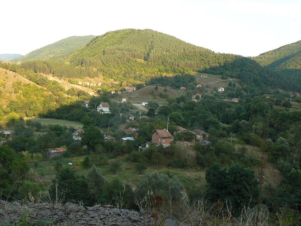
Bakyovo(Svoge 市镇)的照片
保加利亚 · 索菲亚州
居民点
Bakyovo 是保加利亚索菲亚州 Svoge 市镇的一处村庄。 EKATTE 代码:02289。海拔范围:700–999 米。 本资料依据官方《全国居民点登记册》编写。您可以在地图上查看位置,并将此地加入个人旅行路线。
查看详情图片来源: Spiritia · CC BY-SA 3.0 · 许可协议
查看位置Representative point of the settlement. Overview map; confirm the exact visiting address.
保加利亚 · 克尔贾利州
居民点
Balabanovo 是保加利亚克尔贾利州 Momchilgrad 市镇的一处村庄。 EKATTE 代码:02292。海拔范围:300–499 米。 本资料依据官方《全国居民点登记册》编写。您可以在地图上查看位置,并将此地加入个人旅行路线。
查看详情Representative point of the settlement. Overview map; confirm the exact visiting address.
保加利亚 · 洛维奇州
居民点
Balabansko 是保加利亚洛维奇州 Troyan 市镇的一处村庄。 EKATTE 代码:02302。海拔范围:500–699 米。 本资料依据官方《全国居民点登记册》编写。您可以在地图上查看位置,并将此地加入个人旅行路线。
查看详情Representative point of the settlement. Overview map; confirm the exact visiting address.
保加利亚 · 加布罗沃州
居民点
Balaleya 是保加利亚加布罗沃州 Dryanovo 市镇的一处村庄。 EKATTE 代码:02333。海拔范围:300–499 米。 本资料依据官方《全国居民点登记册》编写。您可以在地图上查看位置,并将此地加入个人旅行路线。
查看详情Representative point of the settlement. Overview map; confirm the exact visiting address.
保加利亚 · 加布罗沃州
居民点
Balanite 是保加利亚加布罗沃州 Gabrovo 市镇的一处村庄。 EKATTE 代码:02347。海拔范围:500–699 米。 本资料依据官方《全国居民点登记册》编写。您可以在地图上查看位置,并将此地加入个人旅行路线。
查看详情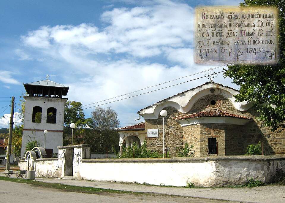
Balanovo(Dupnitsa 市镇)的照片
保加利亚 · 丘斯滕迪尔州
居民点
Balanovo 是保加利亚丘斯滕迪尔州 Dupnitsa 市镇的一处村庄。 EKATTE 代码:02350。海拔范围:300–499 米。 本资料依据官方《全国居民点登记册》编写。您可以在地图上查看位置,并将此地加入个人旅行路线。
查看详情图片来源: Historical Museum, Dupnitsa · CC BY-SA 4.0 · 许可协议
查看位置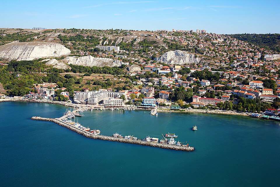
Balchik(Balchik 市镇)的照片
保加利亚 · 多布里奇州
居民点
Balchik 是保加利亚多布里奇州 Balchik 市镇的一处城市。 EKATTE 代码:02508。海拔范围:50–99 米。该地是市镇行政中心。 本资料依据官方《全国居民点登记册》编写。您可以在地图上查看位置,并将此地加入个人旅行路线。
查看详情图片来源: Boby Dimitrov from Sofia, Bulgaria · CC BY-SA 2.0 · 许可协议
查看位置Representative point of the settlement. Overview map; confirm the exact visiting address.
保加利亚 · 布拉戈耶夫格勒州
居民点
Baldevo 是保加利亚布拉戈耶夫格勒州 Garmen 市镇的一处村庄。 EKATTE 代码:02381。海拔范围:500–699 米。 本资料依据官方《全国居民点登记册》编写。您可以在地图上查看位置,并将此地加入个人旅行路线。
查看详情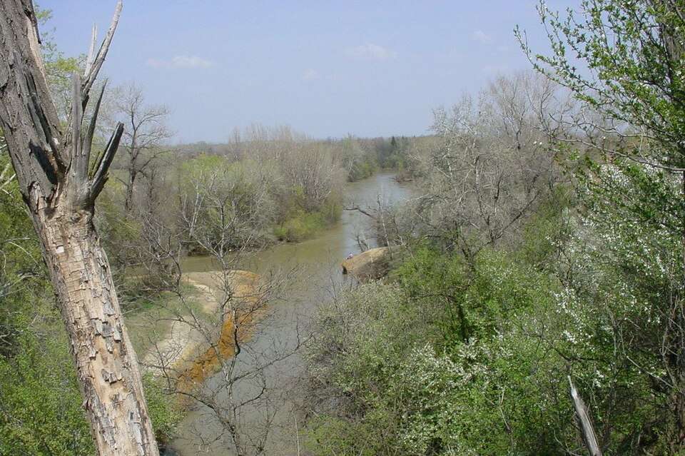
Baley(Bregovo 市镇)的照片
保加利亚 · 维丁州
居民点
Baley 是保加利亚维丁州 Bregovo 市镇的一处村庄。 EKATTE 代码:02395。海拔范围:100–199 米。 本资料依据官方《全国居民点登记册》编写。您可以在地图上查看位置,并将此地加入个人旅行路线。
查看详情图片来源: Anatoliy · CC BY-SA 3.0 · 许可协议
查看位置Representative point of the settlement. Overview map; confirm the exact visiting address.
保加利亚 · 特尔戈维什特州
居民点
Balgaranovo 是保加利亚特尔戈维什特州 Omurtag 市镇的一处村庄。 EKATTE 代码:07243。海拔范围:300–499 米。 本资料依据官方《全国居民点登记册》编写。您可以在地图上查看位置,并将此地加入个人旅行路线。
查看详情Representative point of the settlement. Overview map; confirm the exact visiting address.
保加利亚 · 布拉戈耶夫格勒州
居民点
Balgarchevo 是保加利亚布拉戈耶夫格勒州 Blagoevgrad 市镇的一处村庄。 EKATTE 代码:07377。海拔范围:500–699 米。 本资料依据官方《全国居民点登记册》编写。您可以在地图上查看位置,并将此地加入个人旅行路线。
查看详情