Places

Discover the places on our routes — history, nature and landmarks.

The catalogue continues to grow. See the linked source for visit details.

Settlements · 5,256
Clear all filters

Places found: 5604 · Showing 3,001–3,024 of 5,604 · Page 126 / 234

Map of Bulgaria with a marker for Mirolyubovo (Burgas Municipality)Representative point of the settlement. Overview map; confirm the exact visiting address.LOCATION · BULGARIAMirolyubovo (Burgas Municipality)NRepresentative point of the settlementMap: Global Tour · Outline: Natural Earth

Representative point of the settlement. Overview map; confirm the exact visiting address.

Bulgaria · Burgas

Settlements

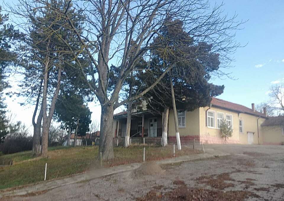
Mirolyubovo (Burgas Municipality)

Mirolyubovo is a village in Burgas Municipality, Burgas Province, Bulgaria. EKATTE code: 48409. Elevation range: 100–199 m. This profile uses the official National Register of Settlements. View the location on the map and add the settlement to your personal itinerary.

About this place
View location

Map of Bulgaria with a marker for Mirovo (Bratya Daskalovi Municipality)Representative point of the settlement. Overview map; confirm the exact visiting address.LOCATION · BULGARIAMirovo (Bratya Daskalovi Municipality)NRepresentative point of the settlementMap: Global Tour · Outline: Natural Earth

Representative point of the settlement. Overview map; confirm the exact visiting address.

Bulgaria · Stara Zagora

Settlements

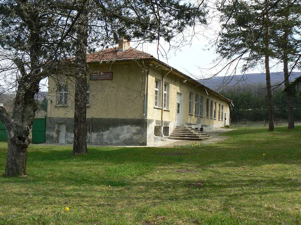
Mirovo (Bratya Daskalovi Municipality)

Mirovo is a village in Bratya Daskalovi Municipality, Stara Zagora Province, Bulgaria. EKATTE code: 48372. Elevation range: 100–199 m. This profile uses the official National Register of Settlements. View the location on the map and add the settlement to your personal itinerary.

About this place
View location

Map of Bulgaria with a marker for Mirovo (Strazhitsa Municipality)Representative point of the settlement. Overview map; confirm the exact visiting address.LOCATION · BULGARIAMirovo (Strazhitsa Municipality)NRepresentative point of the settlementMap: Global Tour · Outline: Natural Earth

Representative point of the settlement. Overview map; confirm the exact visiting address.

Bulgaria · Veliko Tarnovo

Settlements

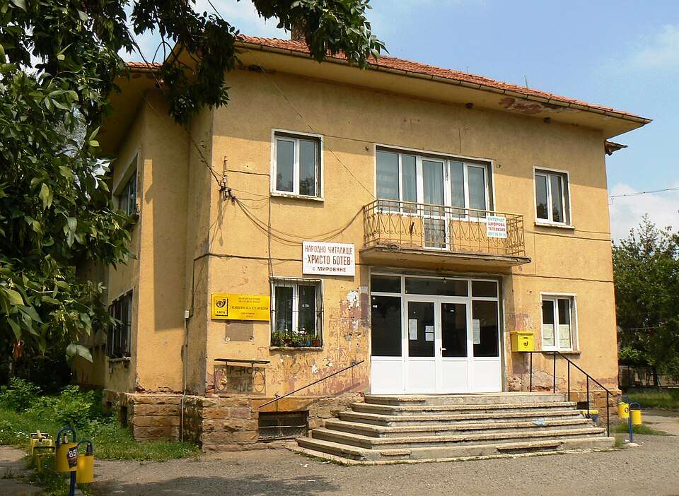
Mirovo (Strazhitsa Municipality)

Mirovo is a village in Strazhitsa Municipality, Veliko Tarnovo Province, Bulgaria. EKATTE code: 48341. Elevation range: 200–299 m. This profile uses the official National Register of Settlements. View the location on the map and add the settlement to your personal itinerary.

About this place
View location

Map of Bulgaria with a marker for Miryantsi (Pazardzhik Municipality)Representative point of the settlement. Overview map; confirm the exact visiting address.LOCATION · BULGARIAMiryantsi (Pazardzhik Municipality)NRepresentative point of the settlementMap: Global Tour · Outline: Natural Earth

Representative point of the settlement. Overview map; confirm the exact visiting address.

Bulgaria · Pazardzhik

Settlements

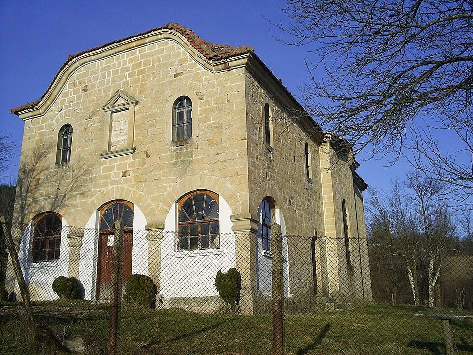
Miryantsi (Pazardzhik Municipality)

Miryantsi is a village in Pazardzhik Municipality, Pazardzhik Province, Bulgaria. EKATTE code: 48444. Elevation range: 100–199 m. This profile uses the official National Register of Settlements. View the location on the map and add the settlement to your personal itinerary.

About this place
View location

Map of Bulgaria with a marker for Mishemorkov han (Veliko Tarnovo Municipality)Representative point of the settlement. Overview map; confirm the exact visiting address.LOCATION · BULGARIAMishemorkov han (Veliko TarnovoMunicipality)NRepresentative point of the settlementMap: Global Tour · Outline: Natural Earth

Representative point of the settlement. Overview map; confirm the exact visiting address.

Bulgaria · Veliko Tarnovo

Settlements

Mishemorkov han (Veliko Tarnovo Municipality)

Mishemorkov han is a village in Veliko Tarnovo Municipality, Veliko Tarnovo Province, Bulgaria. EKATTE code: 48636. Elevation range: 300–499 m. This profile uses the official National Register of Settlements. View the location on the map and add the settlement to your personal itinerary.

About this place
View location

Map of Bulgaria with a marker for Mishevsko (Dzhebel Municipality)Representative point of the settlement. Overview map; confirm the exact visiting address.LOCATION · BULGARIAMishevsko (Dzhebel Municipality)NRepresentative point of the settlementMap: Global Tour · Outline: Natural Earth

Representative point of the settlement. Overview map; confirm the exact visiting address.

Bulgaria · Kardzhali

Settlements

Mishevsko (Dzhebel Municipality)

Mishevsko is a village in Dzhebel Municipality, Kardzhali Province, Bulgaria. EKATTE code: 48622. Elevation range: 500–699 m. This profile uses the official National Register of Settlements. View the location on the map and add the settlement to your personal itinerary.

About this place
View location

Map of Bulgaria with a marker for Misionis Fortress — TargovishteApproximate area: Targovishte. Overview map; confirm the exact visiting address.LOCATION · BULGARIAMisionis Fortress — TargovishteNApproximate area: TargovishteMap: Global Tour · Outline: Natural Earth

Approximate area: Targovishte. Overview map; confirm the exact visiting address.

Bulgaria · Targovishte

History and archaeology

Misionis Fortress — Targovishte

Fortifications, basilicas and residential remains reveal Misionis as a trading and religious centre. Its position in the Derventa pass mattered for communications and the defence of medieval capitals Preslav and Tarnovo.

About this place
View location

Map of Bulgaria with a marker for Mitino (Petrich Municipality)Representative point of the settlement. Overview map; confirm the exact visiting address.LOCATION · BULGARIAMitino (Petrich Municipality)NRepresentative point of the settlementMap: Global Tour · Outline: Natural Earth

Representative point of the settlement. Overview map; confirm the exact visiting address.

Bulgaria · Blagoevgrad

Settlements

Mitino (Petrich Municipality)

Mitino is a village in Petrich Municipality, Blagoevgrad Province, Bulgaria. EKATTE code: 48458. Elevation range: 100–199 m. This profile uses the official National Register of Settlements. View the location on the map and add the settlement to your personal itinerary.

About this place
View location

Map of Bulgaria with a marker for Mitovska (Madan Municipality)Representative point of the settlement. Overview map; confirm the exact visiting address.LOCATION · BULGARIAMitovska (Madan Municipality)NRepresentative point of the settlementMap: Global Tour · Outline: Natural Earth

Representative point of the settlement. Overview map; confirm the exact visiting address.

Bulgaria · Smolyan

Settlements

Mitovska (Madan Municipality)

Mitovska is a village in Madan Municipality, Smolyan Province, Bulgaria. EKATTE code: 48461. Elevation range: 700–999 m. This profile uses the official National Register of Settlements. View the location on the map and add the settlement to your personal itinerary.

About this place
View location

Map of Bulgaria with a marker for Mitrovtsi (Chiprovtsi Municipality)Representative point of the settlement. Overview map; confirm the exact visiting address.LOCATION · BULGARIAMitrovtsi (Chiprovtsi Municipality)NRepresentative point of the settlementMap: Global Tour · Outline: Natural Earth

Representative point of the settlement. Overview map; confirm the exact visiting address.

Bulgaria · Montana

Settlements

Mitrovtsi (Chiprovtsi Municipality)

Mitrovtsi is a village in Chiprovtsi Municipality, Montana Province, Bulgaria. EKATTE code: 48475. Elevation range: 300–499 m. This profile uses the official National Register of Settlements. View the location on the map and add the settlement to your personal itinerary.

About this place
View location

Map of Bulgaria with a marker for Mizia (Mizia Municipality)Representative point of the settlement. Overview map; confirm the exact visiting address.LOCATION · BULGARIAMizia (Mizia Municipality)NRepresentative point of the settlementMap: Global Tour · Outline: Natural Earth

Representative point of the settlement. Overview map; confirm the exact visiting address.

Bulgaria · Vratsa

Settlements

Mizia (Mizia Municipality)

Mizia is a city in Mizia Municipality, Vratsa Province, Bulgaria. EKATTE code: 48043. Elevation range: 50–99 m. Municipal centre. This profile uses the official National Register of Settlements. View the location on the map and add the settlement to your personal itinerary.

About this place
View location

Map of Bulgaria with a marker for Mlada gvardia (Vetrino Municipality)Representative point of the settlement. Overview map; confirm the exact visiting address.LOCATION · BULGARIAMlada gvardia (Vetrino Municipality)NRepresentative point of the settlementMap: Global Tour · Outline: Natural Earth

Representative point of the settlement. Overview map; confirm the exact visiting address.

Bulgaria · Varna

Settlements

Mlada gvardia (Vetrino Municipality)

Mlada gvardia is a village in Vetrino Municipality, Varna Province, Bulgaria. EKATTE code: 48653. Elevation range: 100–199 m. This profile uses the official National Register of Settlements. View the location on the map and add the settlement to your personal itinerary.

About this place
View location

Map of Bulgaria with a marker for Mladen (Sevlievo Municipality)Representative point of the settlement. Overview map; confirm the exact visiting address.LOCATION · BULGARIAMladen (Sevlievo Municipality)NRepresentative point of the settlementMap: Global Tour · Outline: Natural Earth

Representative point of the settlement. Overview map; confirm the exact visiting address.

Bulgaria · Gabrovo

Settlements

Mladen (Sevlievo Municipality)

Mladen is a village in Sevlievo Municipality, Gabrovo Province, Bulgaria. EKATTE code: 48670. Elevation range: 300–499 m. This profile uses the official National Register of Settlements. View the location on the map and add the settlement to your personal itinerary.

About this place
View location

Map of Bulgaria with a marker for Mladinovo (Svilengrad Municipality)Representative point of the settlement. Overview map; confirm the exact visiting address.LOCATION · BULGARIAMladinovo (Svilengrad Municipality)NRepresentative point of the settlementMap: Global Tour · Outline: Natural Earth

Representative point of the settlement. Overview map; confirm the exact visiting address.

Bulgaria · Haskovo

Settlements

Mladinovo (Svilengrad Municipality)

Mladinovo is a village in Svilengrad Municipality, Haskovo Province, Bulgaria. EKATTE code: 48698. Elevation range: 300–499 m. This profile uses the official National Register of Settlements. View the location on the map and add the settlement to your personal itinerary.

About this place
View location

Map of Bulgaria with a marker for Mladovo (Sliven Municipality)Representative point of the settlement. Overview map; confirm the exact visiting address.LOCATION · BULGARIAMladovo (Sliven Municipality)NRepresentative point of the settlementMap: Global Tour · Outline: Natural Earth

Representative point of the settlement. Overview map; confirm the exact visiting address.

Bulgaria · Sliven

Settlements

Mladovo (Sliven Municipality)

Mladovo is a village in Sliven Municipality, Sliven Province, Bulgaria. EKATTE code: 48708. Elevation range: 100–199 m. This profile uses the official National Register of Settlements. View the location on the map and add the settlement to your personal itinerary.

About this place
View location

Map of Bulgaria with a marker for Mlamolovo (Bobov dol Municipality)Representative point of the settlement. Overview map; confirm the exact visiting address.LOCATION · BULGARIAMlamolovo (Bobov dol Municipality)NRepresentative point of the settlementMap: Global Tour · Outline: Natural Earth

Representative point of the settlement. Overview map; confirm the exact visiting address.

Bulgaria · Kyustendil

Settlements

Mlamolovo (Bobov dol Municipality)

Mlamolovo is a village in Bobov dol Municipality, Kyustendil Province, Bulgaria. EKATTE code: 48711. Elevation range: 500–699 m. This profile uses the official National Register of Settlements. View the location on the map and add the settlement to your personal itinerary.

About this place
View location

Map of Bulgaria with a marker for Mlechevo (Sevlievo Municipality)Representative point of the settlement. Overview map; confirm the exact visiting address.LOCATION · BULGARIAMlechevo (Sevlievo Municipality)NRepresentative point of the settlementMap: Global Tour · Outline: Natural Earth

Representative point of the settlement. Overview map; confirm the exact visiting address.

Bulgaria · Gabrovo

Settlements

Mlechevo (Sevlievo Municipality)

Mlechevo is a village in Sevlievo Municipality, Gabrovo Province, Bulgaria. EKATTE code: 48742. Elevation range: 500–699 m. This profile uses the official National Register of Settlements. View the location on the map and add the settlement to your personal itinerary.

About this place
View location

© 2026 Global Tour