Places

Discover the places on our routes — history, nature and landmarks.

The catalogue continues to grow. See the linked source for visit details.

Settlements · 5,256
Clear all filters

Places found: 5604 · Showing 3,529–3,552 of 5,604 · Page 148 / 234

Map of Bulgaria with a marker for Peshtera (Smolyan Municipality)Representative point of the settlement. Overview map; confirm the exact visiting address.LOCATION · BULGARIAPeshtera (Smolyan Municipality)NRepresentative point of the settlementMap: Global Tour · Outline: Natural Earth

Representative point of the settlement. Overview map; confirm the exact visiting address.

Bulgaria · Smolyan

Settlements

Peshtera (Smolyan Municipality)

Peshtera is a village in Smolyan Municipality, Smolyan Province, Bulgaria. EKATTE code: 56294. Elevation range: ≥ 1000 m. This profile uses the official National Register of Settlements. View the location on the map and add the settlement to your personal itinerary.

About this place
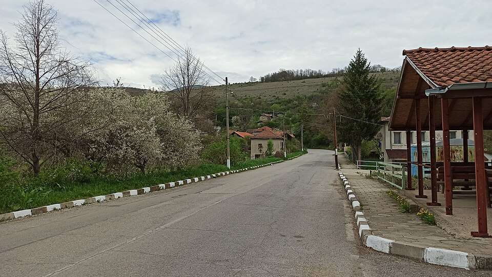
View location

Map of Bulgaria with a marker for Peshtersko (Aytos Municipality)Representative point of the settlement. Overview map; confirm the exact visiting address.LOCATION · BULGARIAPeshtersko (Aytos Municipality)NRepresentative point of the settlementMap: Global Tour · Outline: Natural Earth

Representative point of the settlement. Overview map; confirm the exact visiting address.

Bulgaria · Burgas

Settlements

Peshtersko (Aytos Municipality)

Peshtersko is a village in Aytos Municipality, Burgas Province, Bulgaria. EKATTE code: 56321. Elevation range: 300–499 m. This profile uses the official National Register of Settlements. View the location on the map and add the settlement to your personal itinerary.

About this place
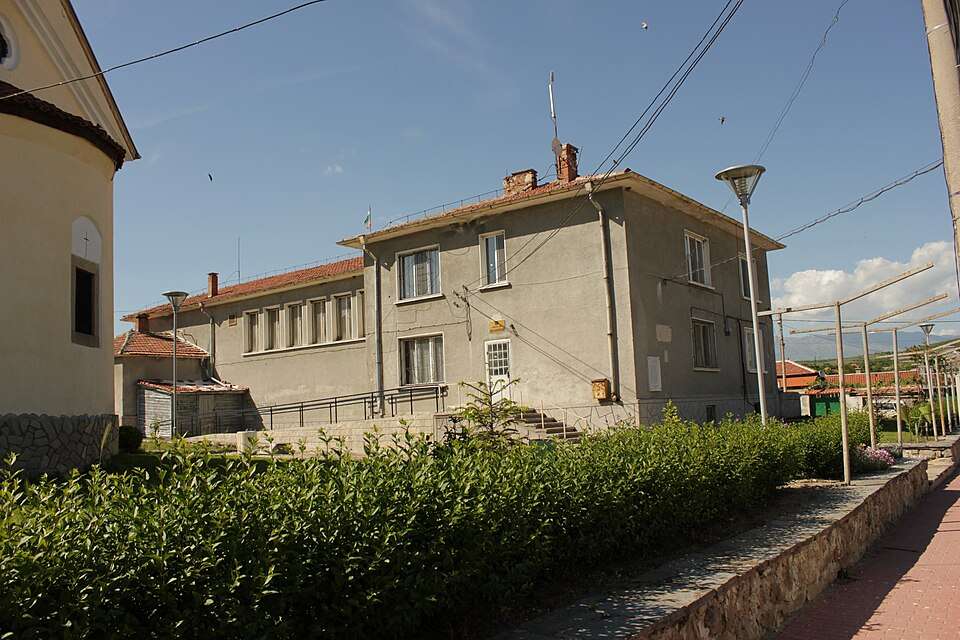
View location

Map of Bulgaria with a marker for Pesnopoy (Ardino Municipality)Representative point of the settlement. Overview map; confirm the exact visiting address.LOCATION · BULGARIAPesnopoy (Ardino Municipality)NRepresentative point of the settlementMap: Global Tour · Outline: Natural Earth

Representative point of the settlement. Overview map; confirm the exact visiting address.

Bulgaria · Kardzhali

Settlements

Pesnopoy (Ardino Municipality)

Pesnopoy is a village in Ardino Municipality, Kardzhali Province, Bulgaria. EKATTE code: 55912. Elevation range: 700–999 m. This profile uses the official National Register of Settlements. View the location on the map and add the settlement to your personal itinerary.

About this place
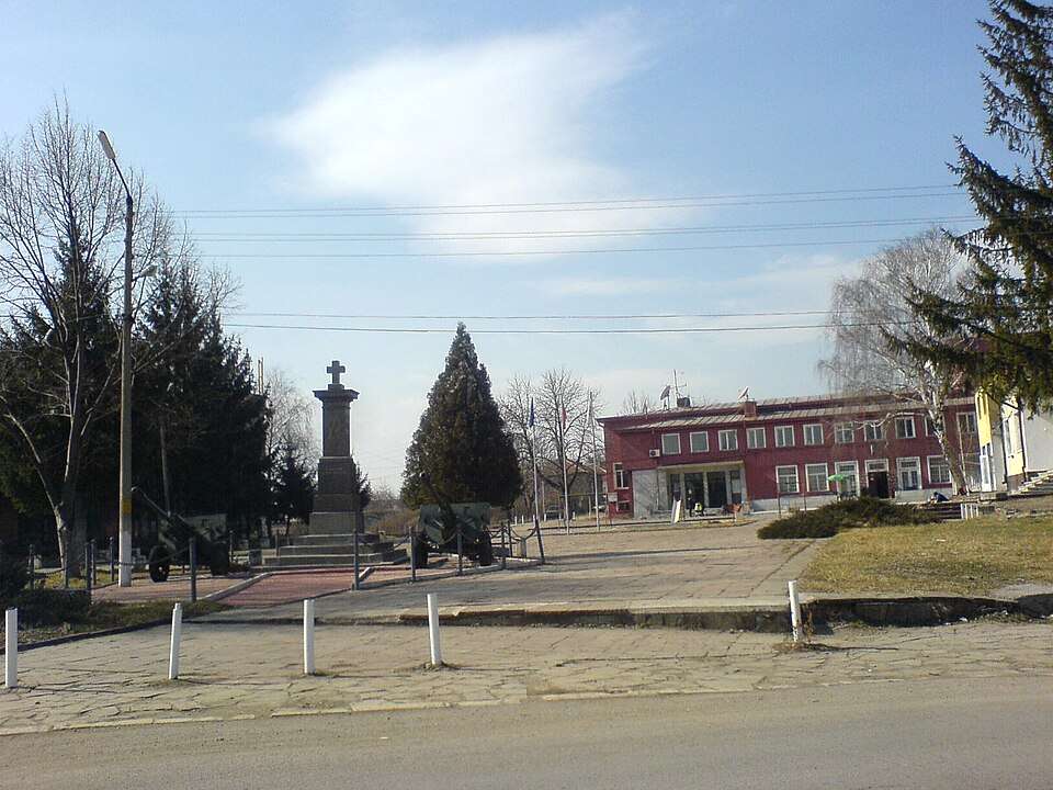
View location

Map of Bulgaria with a marker for Pesochnitsa (Berkovitsa Municipality)Representative point of the settlement. Overview map; confirm the exact visiting address.LOCATION · BULGARIAPesochnitsa (Berkovitsa Municipality)NRepresentative point of the settlementMap: Global Tour · Outline: Natural Earth

Representative point of the settlement. Overview map; confirm the exact visiting address.

Bulgaria · Montana

Settlements

Pesochnitsa (Berkovitsa Municipality)

Pesochnitsa is a village in Berkovitsa Municipality, Montana Province, Bulgaria. EKATTE code: 55930. Elevation range: 300–499 m. This profile uses the official National Register of Settlements. View the location on the map and add the settlement to your personal itinerary.

About this place
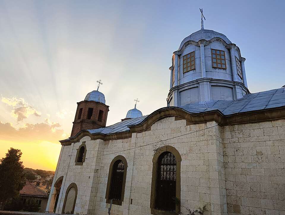
View location

Map of Bulgaria with a marker for Pet kladentsi (Byala Municipality)Representative point of the settlement. Overview map; confirm the exact visiting address.LOCATION · BULGARIAPet kladentsi (Byala Municipality)NRepresentative point of the settlementMap: Global Tour · Outline: Natural Earth

Representative point of the settlement. Overview map; confirm the exact visiting address.

Bulgaria · Ruse

Settlements

Pet kladentsi (Byala Municipality)

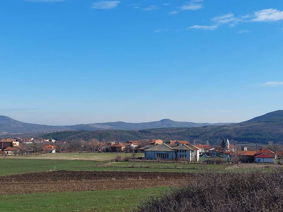
Pet kladentsi is a village in Byala Municipality, Ruse Province, Bulgaria. EKATTE code: 55988. Elevation range: 200–299 m. This profile uses the official National Register of Settlements. View the location on the map and add the settlement to your personal itinerary.

About this place
View location

Map of Bulgaria with a marker for Pet mogili (Nikola Kozlevo Municipality)Representative point of the settlement. Overview map; confirm the exact visiting address.LOCATION · BULGARIAPet mogili (Nikola Kozlevo Municipality)NRepresentative point of the settlementMap: Global Tour · Outline: Natural Earth

Representative point of the settlement. Overview map; confirm the exact visiting address.

Bulgaria · Shumen

Settlements

Pet mogili (Nikola Kozlevo Municipality)

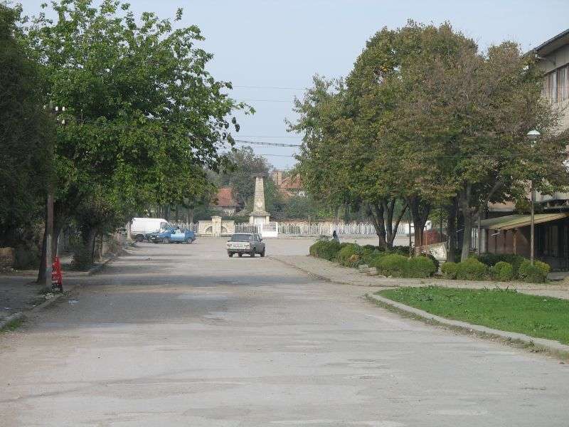
Pet mogili is a village in Nikola Kozlevo Municipality, Shumen Province, Bulgaria. EKATTE code: 56071. Elevation range: 200–299 m. This profile uses the official National Register of Settlements. View the location on the map and add the settlement to your personal itinerary.

About this place
View location

Map of Bulgaria with a marker for Pet mogili (Nova Zagora Municipality)Representative point of the settlement. Overview map; confirm the exact visiting address.LOCATION · BULGARIAPet mogili (Nova Zagora Municipality)NRepresentative point of the settlementMap: Global Tour · Outline: Natural Earth

Representative point of the settlement. Overview map; confirm the exact visiting address.

Bulgaria · Sliven

Settlements

Pet mogili (Nova Zagora Municipality)

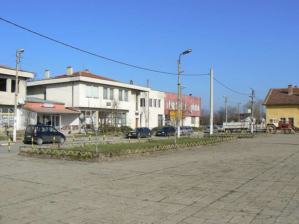
Pet mogili is a village in Nova Zagora Municipality, Sliven Province, Bulgaria. EKATTE code: 56068. Elevation range: 100–199 m. This profile uses the official National Register of Settlements. View the location on the map and add the settlement to your personal itinerary.

About this place
View location

Photograph from Petko Karavelovo (Polski Trambesh Municipality)

Photograph from Petko Karavelovo (Polski Trambesh Municipality)

Bulgaria · Veliko Tarnovo

Settlements

Petko Karavelovo (Polski Trambesh Municipality)

Petko Karavelovo is a village in Polski Trambesh Municipality, Veliko Tarnovo Province, Bulgaria. EKATTE code: 65471. Elevation range: 50–99 m. This profile uses the official National Register of Settlements. View the location on the map and add the settlement to your personal itinerary.

About this place
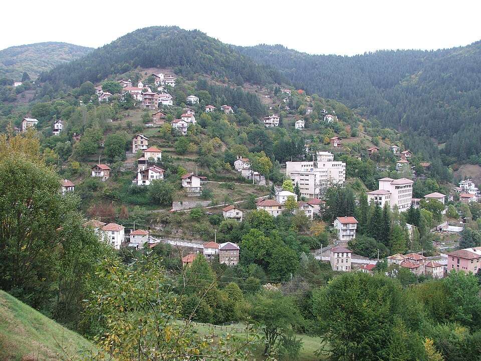
Photo: Gorna · CC BY-SA 3.0 · License

View location

Map of Bulgaria with a marker for Petko Slaveykov (Sevlievo Municipality)Representative point of the settlement. Overview map; confirm the exact visiting address.LOCATION · BULGARIAPetko Slaveykov (Sevlievo Municipality)NRepresentative point of the settlementMap: Global Tour · Outline: Natural Earth

Representative point of the settlement. Overview map; confirm the exact visiting address.

Bulgaria · Gabrovo

Settlements

Petko Slaveykov (Sevlievo Municipality)

Petko Slaveykov is a village in Sevlievo Municipality, Gabrovo Province, Bulgaria. EKATTE code: 56037. Elevation range: 300–499 m. This profile uses the official National Register of Settlements. View the location on the map and add the settlement to your personal itinerary.

About this place
View location

Map of Bulgaria with a marker for Petkovtsi (Dryanovo Municipality)Representative point of the settlement. Overview map; confirm the exact visiting address.LOCATION · BULGARIAPetkovtsi (Dryanovo Municipality)NRepresentative point of the settlementMap: Global Tour · Outline: Natural Earth

Representative point of the settlement. Overview map; confirm the exact visiting address.

Bulgaria · Gabrovo

Settlements

Petkovtsi (Dryanovo Municipality)

Petkovtsi is a village in Dryanovo Municipality, Gabrovo Province, Bulgaria. EKATTE code: 56023. Elevation range: 500–699 m. This profile uses the official National Register of Settlements. View the location on the map and add the settlement to your personal itinerary.

About this place
View location

Map of Bulgaria with a marker for Petkovtsi (Elena Municipality)Representative point of the settlement. Overview map; confirm the exact visiting address.LOCATION · BULGARIAPetkovtsi (Elena Municipality)NRepresentative point of the settlementMap: Global Tour · Outline: Natural Earth

Representative point of the settlement. Overview map; confirm the exact visiting address.

Bulgaria · Veliko Tarnovo

Settlements

Petkovtsi (Elena Municipality)

Petkovtsi is a village in Elena Municipality, Veliko Tarnovo Province, Bulgaria. EKATTE code: 56011. Elevation range: 300–499 m. This profile uses the official National Register of Settlements. View the location on the map and add the settlement to your personal itinerary.

About this place
View location

Map of Bulgaria with a marker for Petleshkovo (General Toshevo Municipality)Representative point of the settlement. Overview map; confirm the exact visiting address.LOCATION · BULGARIAPetleshkovo (General Toshevo Municipality)NRepresentative point of the settlementMap: Global Tour · Outline: Natural Earth

Representative point of the settlement. Overview map; confirm the exact visiting address.

Bulgaria · Dobrich

Settlements

Petleshkovo (General Toshevo Municipality)

Petleshkovo is a village in General Toshevo Municipality, Dobrich Province, Bulgaria. EKATTE code: 56040. Elevation range: 200–299 m. This profile uses the official National Register of Settlements. View the location on the map and add the settlement to your personal itinerary.

About this place
View location

Map of Bulgaria with a marker for Petlino (Kardzhali Municipality)Representative point of the settlement. Overview map; confirm the exact visiting address.LOCATION · BULGARIAPetlino (Kardzhali Municipality)NRepresentative point of the settlementMap: Global Tour · Outline: Natural Earth

Representative point of the settlement. Overview map; confirm the exact visiting address.

Bulgaria · Kardzhali

Settlements

Petlino (Kardzhali Municipality)

Petlino is a village in Kardzhali Municipality, Kardzhali Province, Bulgaria. EKATTE code: 56054. Elevation range: 300–499 m. This profile uses the official National Register of Settlements. View the location on the map and add the settlement to your personal itinerary.

About this place
View location

Map of Bulgaria with a marker for Petokladentsi (Belene Municipality)Representative point of the settlement. Overview map; confirm the exact visiting address.LOCATION · BULGARIAPetokladentsi (Belene Municipality)NRepresentative point of the settlementMap: Global Tour · Outline: Natural Earth

Representative point of the settlement. Overview map; confirm the exact visiting address.

Bulgaria · Pleven

Settlements

Petokladentsi (Belene Municipality)

Petokladentsi is a village in Belene Municipality, Pleven Province, Bulgaria. EKATTE code: 56085. Elevation range: 100–199 m. This profile uses the official National Register of Settlements. View the location on the map and add the settlement to your personal itinerary.

About this place
View location

Map of Bulgaria with a marker for Petrelik (Hadzhidimovo Municipality)Representative point of the settlement. Overview map; confirm the exact visiting address.LOCATION · BULGARIAPetrelik (Hadzhidimovo Municipality)NRepresentative point of the settlementMap: Global Tour · Outline: Natural Earth

Representative point of the settlement. Overview map; confirm the exact visiting address.

Bulgaria · Blagoevgrad

Settlements

Petrelik (Hadzhidimovo Municipality)

Petrelik is a village in Hadzhidimovo Municipality, Blagoevgrad Province, Bulgaria. EKATTE code: 56109. Elevation range: 300–499 m. This profile uses the official National Register of Settlements. View the location on the map and add the settlement to your personal itinerary.

About this place
View location

Map of Bulgaria with a marker for Petrevene (Lukovit Municipality)Representative point of the settlement. Overview map; confirm the exact visiting address.LOCATION · BULGARIAPetrevene (Lukovit Municipality)NRepresentative point of the settlementMap: Global Tour · Outline: Natural Earth

Representative point of the settlement. Overview map; confirm the exact visiting address.

Bulgaria · Lovech

Settlements

Petrevene (Lukovit Municipality)

Petrevene is a village in Lukovit Municipality, Lovech Province, Bulgaria. EKATTE code: 56099. Elevation range: 100–199 m. This profile uses the official National Register of Settlements. View the location on the map and add the settlement to your personal itinerary.

About this place
View location

© 2026 Global Tour