Places

Discover the places on our routes — history, nature and landmarks.

The catalogue continues to grow. See the linked source for visit details.

Settlements · 5,256
Clear all filters

Places found: 5604 · Showing 4,609–4,632 of 5,604 · Page 193 / 234

Map of Bulgaria with a marker for Stoyanovo (Ardino Municipality)Representative point of the settlement. Overview map; confirm the exact visiting address.LOCATION · BULGARIAStoyanovo (Ardino Municipality)NRepresentative point of the settlementMap: Global Tour · Outline: Natural Earth

Representative point of the settlement. Overview map; confirm the exact visiting address.

Bulgaria · Kardzhali

Settlements

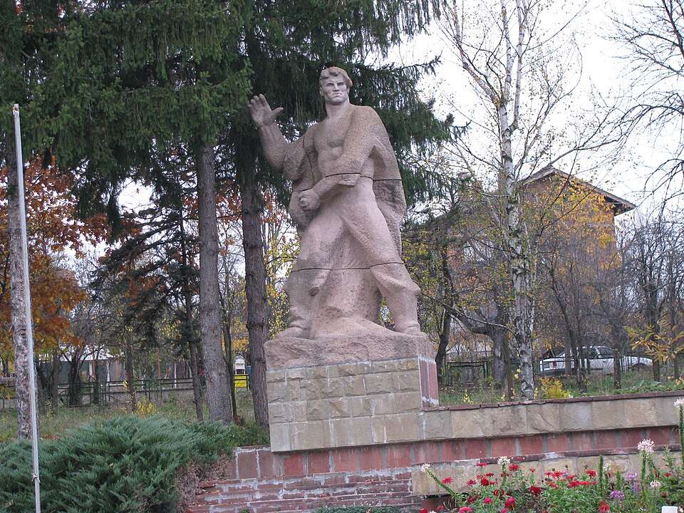
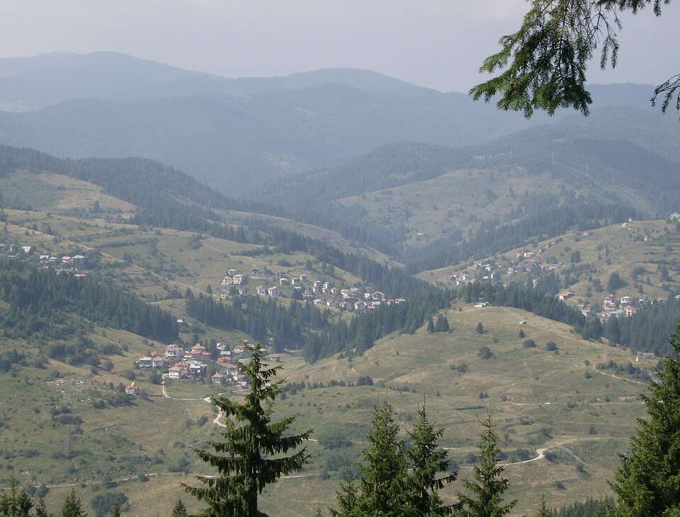
Stoyanovo (Ardino Municipality)

Stoyanovo is a village in Ardino Municipality, Kardzhali Province, Bulgaria. EKATTE code: 69518. Elevation range: 700–999 m. This profile uses the official National Register of Settlements. View the location on the map and add the settlement to your personal itinerary.

About this place
View location

Map of Bulgaria with a marker for Stoyanovo (Varshets Municipality)Representative point of the settlement. Overview map; confirm the exact visiting address.LOCATION · BULGARIAStoyanovo (Varshets Municipality)NRepresentative point of the settlementMap: Global Tour · Outline: Natural Earth

Representative point of the settlement. Overview map; confirm the exact visiting address.

Bulgaria · Montana

Settlements

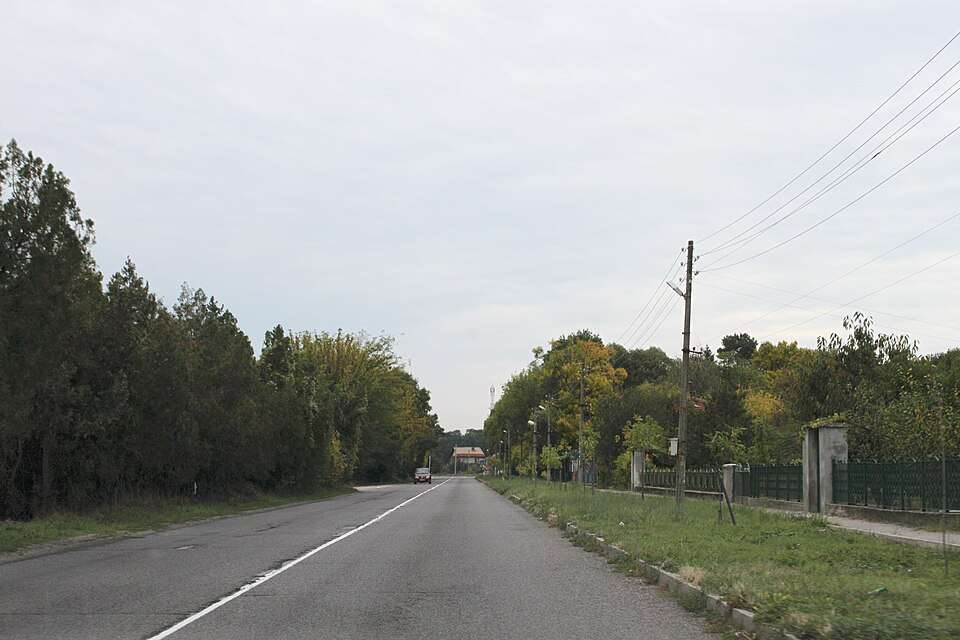
Stoyanovo (Varshets Municipality)

Stoyanovo is a village in Varshets Municipality, Montana Province, Bulgaria. EKATTE code: 69537. Elevation range: 200–299 m. This profile uses the official National Register of Settlements. View the location on the map and add the settlement to your personal itinerary.

About this place
View location

Map of Bulgaria with a marker for Stoyanovtsi (Elena Municipality)Representative point of the settlement. Overview map; confirm the exact visiting address.LOCATION · BULGARIAStoyanovtsi (Elena Municipality)NRepresentative point of the settlementMap: Global Tour · Outline: Natural Earth

Representative point of the settlement. Overview map; confirm the exact visiting address.

Bulgaria · Veliko Tarnovo

Settlements

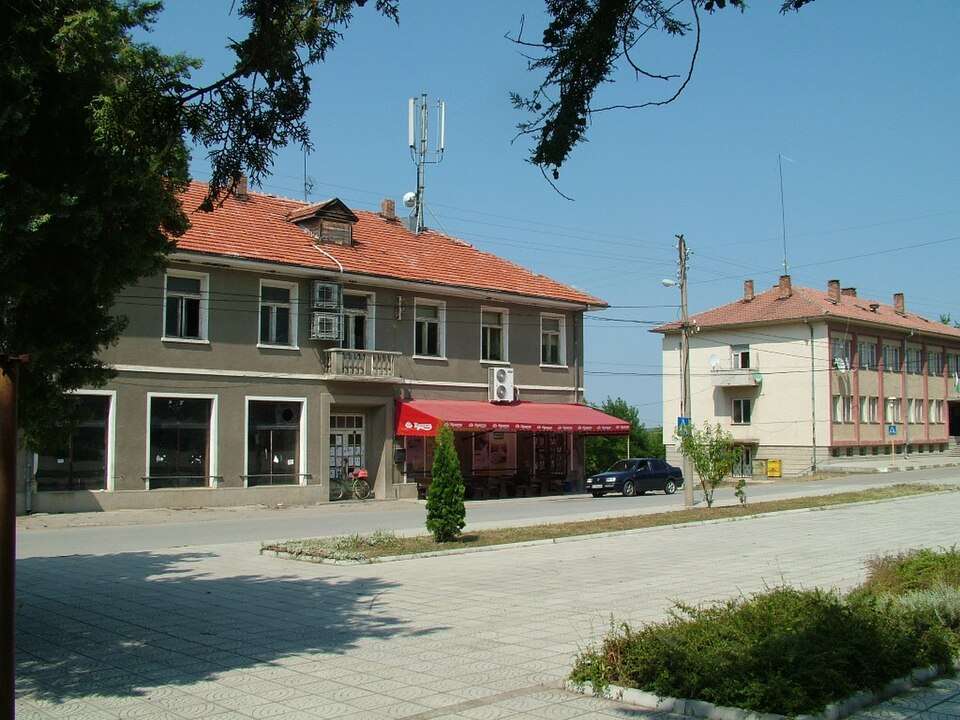
Stoyanovtsi (Elena Municipality)

Stoyanovtsi is a village in Elena Municipality, Veliko Tarnovo Province, Bulgaria. EKATTE code: 69540. Elevation range: 500–699 m. This profile uses the official National Register of Settlements. View the location on the map and add the settlement to your personal itinerary.

About this place
View location

Map of Bulgaria with a marker for Stoychevtsi (Elena Municipality)Representative point of the settlement. Overview map; confirm the exact visiting address.LOCATION · BULGARIAStoychevtsi (Elena Municipality)NRepresentative point of the settlementMap: Global Tour · Outline: Natural Earth

Representative point of the settlement. Overview map; confirm the exact visiting address.

Bulgaria · Veliko Tarnovo

Settlements

Stoychevtsi (Elena Municipality)

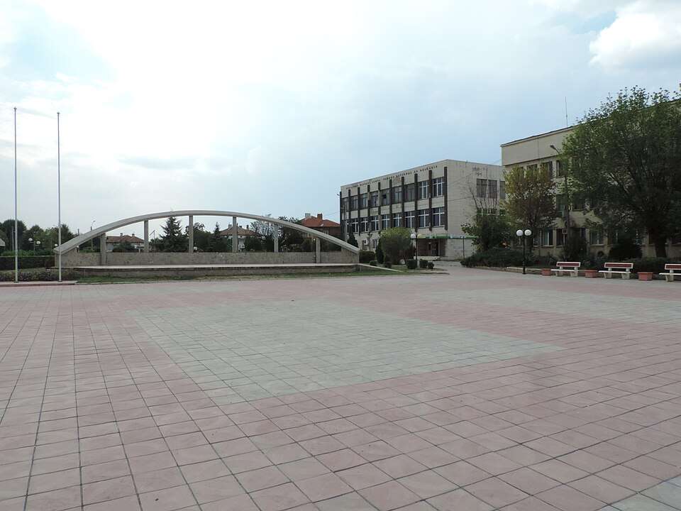
Stoychevtsi is a village in Elena Municipality, Veliko Tarnovo Province, Bulgaria. EKATTE code: 69393. Elevation range: 300–499 m. This profile uses the official National Register of Settlements. View the location on the map and add the settlement to your personal itinerary.

About this place
View location

Map of Bulgaria with a marker for Stoychovtsi (Gabrovo Municipality)Representative point of the settlement. Overview map; confirm the exact visiting address.LOCATION · BULGARIAStoychovtsi (Gabrovo Municipality)NRepresentative point of the settlementMap: Global Tour · Outline: Natural Earth

Representative point of the settlement. Overview map; confirm the exact visiting address.

Bulgaria · Gabrovo

Settlements

Stoychovtsi (Gabrovo Municipality)

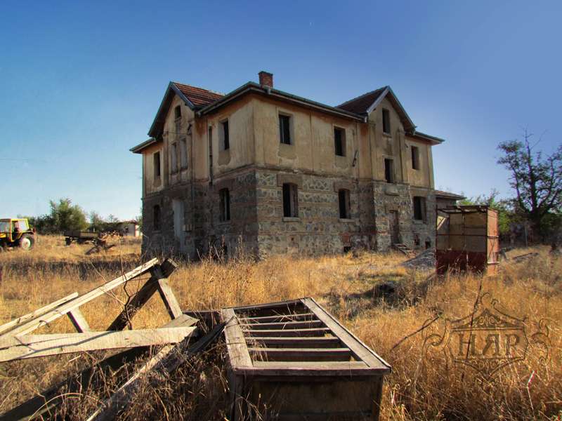
Stoychovtsi is a village in Gabrovo Municipality, Gabrovo Province, Bulgaria. EKATTE code: 69403. Elevation range: 300–499 m. This profile uses the official National Register of Settlements. View the location on the map and add the settlement to your personal itinerary.

About this place
View location

Map of Bulgaria with a marker for Stoykovtsi (Gabrovo Municipality)Representative point of the settlement. Overview map; confirm the exact visiting address.LOCATION · BULGARIAStoykovtsi (Gabrovo Municipality)NRepresentative point of the settlementMap: Global Tour · Outline: Natural Earth

Representative point of the settlement. Overview map; confirm the exact visiting address.

Bulgaria · Gabrovo

Settlements

Stoykovtsi (Gabrovo Municipality)

Stoykovtsi is a village in Gabrovo Municipality, Gabrovo Province, Bulgaria. EKATTE code: 70768. Elevation range: 300–499 m. This profile uses the official National Register of Settlements. View the location on the map and add the settlement to your personal itinerary.

About this place
View location

Map of Bulgaria with a marker for Stoynovo (Antonovo Municipality)Representative point of the settlement. Overview map; confirm the exact visiting address.LOCATION · BULGARIAStoynovo (Antonovo Municipality)NRepresentative point of the settlementMap: Global Tour · Outline: Natural Earth

Representative point of the settlement. Overview map; confirm the exact visiting address.

Bulgaria · Targovishte

Settlements

Stoynovo (Antonovo Municipality)

Stoynovo is a village in Antonovo Municipality, Targovishte Province, Bulgaria. EKATTE code: 69376. Elevation range: 300–499 m. This profile uses the official National Register of Settlements. View the location on the map and add the settlement to your personal itinerary.

About this place
View location

Map of Bulgaria with a marker for Stozha (Sandanski Municipality)Representative point of the settlement. Overview map; confirm the exact visiting address.LOCATION · BULGARIAStozha (Sandanski Municipality)NRepresentative point of the settlementMap: Global Tour · Outline: Natural Earth

Representative point of the settlement. Overview map; confirm the exact visiting address.

Bulgaria · Blagoevgrad

Settlements

Stozha (Sandanski Municipality)

Stozha is a village in Sandanski Municipality, Blagoevgrad Province, Bulgaria. EKATTE code: 69290. Elevation range: 500–699 m. This profile uses the official National Register of Settlements. View the location on the map and add the settlement to your personal itinerary.

About this place
View location

Map of Bulgaria with a marker for Stozher (Dobrich-selska Municipality)Representative point of the settlement. Overview map; confirm the exact visiting address.LOCATION · BULGARIAStozher (Dobrich-selska Municipality)NRepresentative point of the settlementMap: Global Tour · Outline: Natural Earth

Representative point of the settlement. Overview map; confirm the exact visiting address.

Bulgaria · Dobrich

Settlements

Stozher (Dobrich-selska Municipality)

Stozher is a village in Dobrich-selska Municipality, Dobrich Province, Bulgaria. EKATTE code: 69300. Elevation range: 300–499 m. This profile uses the official National Register of Settlements. View the location on the map and add the settlement to your personal itinerary.

About this place
View location

Map of Bulgaria with a marker for Stradalovo (Nevestino Municipality)Representative point of the settlement. Overview map; confirm the exact visiting address.LOCATION · BULGARIAStradalovo (Nevestino Municipality)NRepresentative point of the settlementMap: Global Tour · Outline: Natural Earth

Representative point of the settlement. Overview map; confirm the exact visiting address.

Bulgaria · Kyustendil

Settlements

Stradalovo (Nevestino Municipality)

Stradalovo is a village in Nevestino Municipality, Kyustendil Province, Bulgaria. EKATTE code: 69571. Elevation range: 700–999 m. This profile uses the official National Register of Settlements. View the location on the map and add the settlement to your personal itinerary.

About this place
View location

Map of Bulgaria with a marker for Strahil (Valchi dol Municipality)Representative point of the settlement. Overview map; confirm the exact visiting address.LOCATION · BULGARIAStrahil (Valchi dol Municipality)NRepresentative point of the settlementMap: Global Tour · Outline: Natural Earth

Representative point of the settlement. Overview map; confirm the exact visiting address.

Bulgaria · Varna

Settlements

Strahil (Valchi dol Municipality)

Strahil is a village in Valchi dol Municipality, Varna Province, Bulgaria. EKATTE code: 69701. Elevation range: 200–299 m. This profile uses the official National Register of Settlements. View the location on the map and add the settlement to your personal itinerary.

About this place
View location

Map of Bulgaria with a marker for Strahil voyvoda (Kardzhali Municipality)Representative point of the settlement. Overview map; confirm the exact visiting address.LOCATION · BULGARIAStrahil voyvoda (Kardzhali Municipality)NRepresentative point of the settlementMap: Global Tour · Outline: Natural Earth

Representative point of the settlement. Overview map; confirm the exact visiting address.

Bulgaria · Kardzhali

Settlements

Strahil voyvoda (Kardzhali Municipality)

Strahil voyvoda is a village in Kardzhali Municipality, Kardzhali Province, Bulgaria. EKATTE code: 69715. Elevation range: 300–499 m. This profile uses the official National Register of Settlements. View the location on the map and add the settlement to your personal itinerary.

About this place
View location

Map of Bulgaria with a marker for Strahilitsa (Venets Municipality)Representative point of the settlement. Overview map; confirm the exact visiting address.LOCATION · BULGARIAStrahilitsa (Venets Municipality)NRepresentative point of the settlementMap: Global Tour · Outline: Natural Earth

Representative point of the settlement. Overview map; confirm the exact visiting address.

Bulgaria · Shumen

Settlements

Strahilitsa (Venets Municipality)

Strahilitsa is a village in Venets Municipality, Shumen Province, Bulgaria. EKATTE code: 69729. Elevation range: 300–499 m. This profile uses the official National Register of Settlements. View the location on the map and add the settlement to your personal itinerary.

About this place
View location

Photograph from Strahilovo (Polski Trambesh Municipality)

Photograph from Strahilovo (Polski Trambesh Municipality)

Bulgaria · Veliko Tarnovo

Settlements

Strahilovo (Polski Trambesh Municipality)

Strahilovo is a village in Polski Trambesh Municipality, Veliko Tarnovo Province, Bulgaria. EKATTE code: 69732. Elevation range: 100–199 m. This profile uses the official National Register of Settlements. View the location on the map and add the settlement to your personal itinerary.

About this place

Photo: Glen Stobbs · CC BY-SA 3.0 · License

View location

Map of Bulgaria with a marker for Stramtsi (Tryavna Municipality)Representative point of the settlement. Overview map; confirm the exact visiting address.LOCATION · BULGARIAStramtsi (Tryavna Municipality)NRepresentative point of the settlementMap: Global Tour · Outline: Natural Earth

Representative point of the settlement. Overview map; confirm the exact visiting address.

Bulgaria · Gabrovo

Settlements

Stramtsi (Tryavna Municipality)

Stramtsi is a village in Tryavna Municipality, Gabrovo Province, Bulgaria. EKATTE code: 70007. Elevation range: 500–699 m. This profile uses the official National Register of Settlements. View the location on the map and add the settlement to your personal itinerary.

About this place
View location

Map of Bulgaria with a marker for Strandzhevo (Krumovgrad Municipality)Representative point of the settlement. Overview map; confirm the exact visiting address.LOCATION · BULGARIAStrandzhevo (Krumovgrad Municipality)NRepresentative point of the settlementMap: Global Tour · Outline: Natural Earth

Representative point of the settlement. Overview map; confirm the exact visiting address.

Bulgaria · Kardzhali

Settlements

Strandzhevo (Krumovgrad Municipality)

Strandzhevo is a village in Krumovgrad Municipality, Kardzhali Province, Bulgaria. EKATTE code: 69688. Elevation range: 100–199 m. This profile uses the official National Register of Settlements. View the location on the map and add the settlement to your personal itinerary.

About this place
View location

Map of Bulgaria with a marker for Stransko (Dimitrovgrad Municipality)Representative point of the settlement. Overview map; confirm the exact visiting address.LOCATION · BULGARIAStransko (Dimitrovgrad Municipality)NRepresentative point of the settlementMap: Global Tour · Outline: Natural Earth

Representative point of the settlement. Overview map; confirm the exact visiting address.

Bulgaria · Haskovo

Settlements

Stransko (Dimitrovgrad Municipality)

Stransko is a village in Dimitrovgrad Municipality, Haskovo Province, Bulgaria. EKATTE code: 69691. Elevation range: 100–199 m. This profile uses the official National Register of Settlements. View the location on the map and add the settlement to your personal itinerary.

About this place
View location

Map of Bulgaria with a marker for Strashimir (Zlatograd Municipality)Representative point of the settlement. Overview map; confirm the exact visiting address.LOCATION · BULGARIAStrashimir (Zlatograd Municipality)NRepresentative point of the settlementMap: Global Tour · Outline: Natural Earth

Representative point of the settlement. Overview map; confirm the exact visiting address.

Bulgaria · Smolyan

Settlements

Strashimir (Zlatograd Municipality)

Strashimir is a village in Zlatograd Municipality, Smolyan Province, Bulgaria. EKATTE code: 69759. Elevation range: 700–999 m. This profile uses the official National Register of Settlements. View the location on the map and add the settlement to your personal itinerary.

About this place
View location

© 2026 Global Tour