Places

Discover the places on our routes — history, nature and landmarks.

The catalogue continues to grow. See the linked source for visit details.

Settlements · 5,256
Clear all filters

Places found: 5604 · Showing 4,681–4,704 of 5,604 · Page 196 / 234

Map of Bulgaria with a marker for Suhodol (Glavinitsa Municipality)Representative point of the settlement. Overview map; confirm the exact visiting address.LOCATION · BULGARIASuhodol (Glavinitsa Municipality)NRepresentative point of the settlementMap: Global Tour · Outline: Natural Earth

Representative point of the settlement. Overview map; confirm the exact visiting address.

Bulgaria · Silistra

Settlements

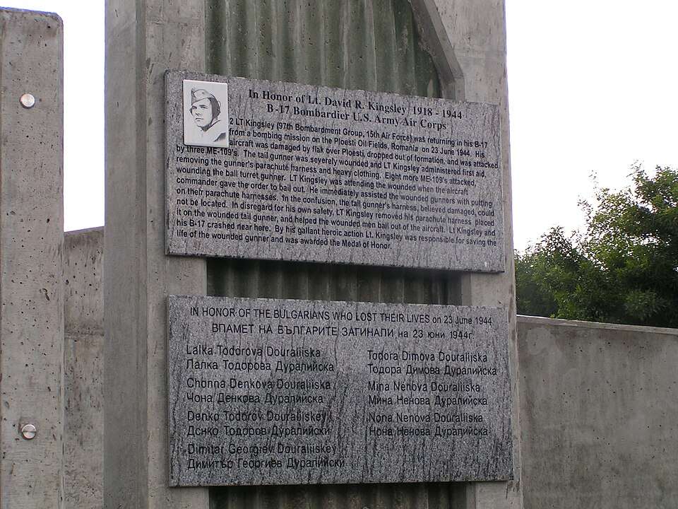
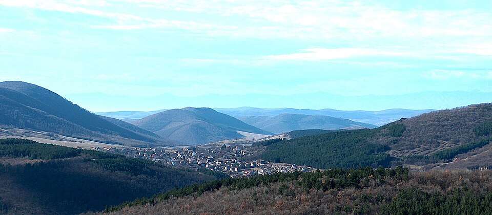
Suhodol (Glavinitsa Municipality)

Suhodol is a village in Glavinitsa Municipality, Silistra Province, Bulgaria. EKATTE code: 70336. Elevation range: 100–199 m. This profile uses the official National Register of Settlements. View the location on the map and add the settlement to your personal itinerary.

About this place
View location

Map of Bulgaria with a marker for Suhodol (Sredets Municipality)Representative point of the settlement. Overview map; confirm the exact visiting address.LOCATION · BULGARIASuhodol (Sredets Municipality)NRepresentative point of the settlementMap: Global Tour · Outline: Natural Earth

Representative point of the settlement. Overview map; confirm the exact visiting address.

Bulgaria · Burgas

Settlements

Suhodol (Sredets Municipality)

Suhodol is a village in Sredets Municipality, Burgas Province, Bulgaria. EKATTE code: 70322. Elevation range: 100–199 m. This profile uses the official National Register of Settlements. View the location on the map and add the settlement to your personal itinerary.

About this place
View location

Map of Bulgaria with a marker for Suholoevtsi (Dryanovo Municipality)Representative point of the settlement. Overview map; confirm the exact visiting address.LOCATION · BULGARIASuholoevtsi (Dryanovo Municipality)NRepresentative point of the settlementMap: Global Tour · Outline: Natural Earth

Representative point of the settlement. Overview map; confirm the exact visiting address.

Bulgaria · Gabrovo

Settlements

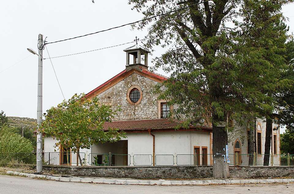
Suholoevtsi (Dryanovo Municipality)

Suholoevtsi is a village in Dryanovo Municipality, Gabrovo Province, Bulgaria. EKATTE code: 70367. Elevation range: 500–699 m. This profile uses the official National Register of Settlements. View the location on the map and add the settlement to your personal itinerary.

About this place
View location

Map of Bulgaria with a marker for Suhostrel (Simitli Municipality)Representative point of the settlement. Overview map; confirm the exact visiting address.LOCATION · BULGARIASuhostrel (Simitli Municipality)NRepresentative point of the settlementMap: Global Tour · Outline: Natural Earth

Representative point of the settlement. Overview map; confirm the exact visiting address.

Bulgaria · Blagoevgrad

Settlements

Suhostrel (Simitli Municipality)

Suhostrel is a village in Simitli Municipality, Blagoevgrad Province, Bulgaria. EKATTE code: 70370. Elevation range: ≥ 1000 m. This profile uses the official National Register of Settlements. View the location on the map and add the settlement to your personal itinerary.

About this place
View location

Map of Bulgaria with a marker for Suhovo (Ardino Municipality)Representative point of the settlement. Overview map; confirm the exact visiting address.LOCATION · BULGARIASuhovo (Ardino Municipality)NRepresentative point of the settlementMap: Global Tour · Outline: Natural Earth

Representative point of the settlement. Overview map; confirm the exact visiting address.

Bulgaria · Kardzhali

Settlements

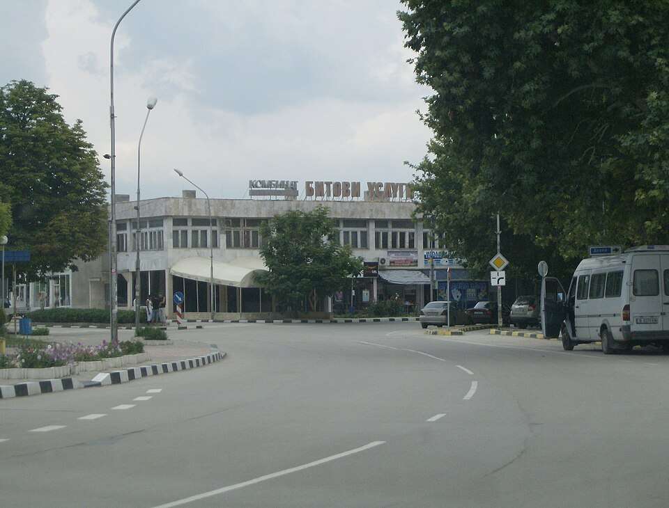
Suhovo (Ardino Municipality)

Suhovo is a village in Ardino Municipality, Kardzhali Province, Bulgaria. EKATTE code: 70319. Elevation range: 300–499 m. This profile uses the official National Register of Settlements. View the location on the map and add the settlement to your personal itinerary.

About this place
View location

Map of Bulgaria with a marker for Sultani (Elena Municipality)Representative point of the settlement. Overview map; confirm the exact visiting address.LOCATION · BULGARIASultani (Elena Municipality)NRepresentative point of the settlementMap: Global Tour · Outline: Natural Earth

Representative point of the settlement. Overview map; confirm the exact visiting address.

Bulgaria · Veliko Tarnovo

Settlements

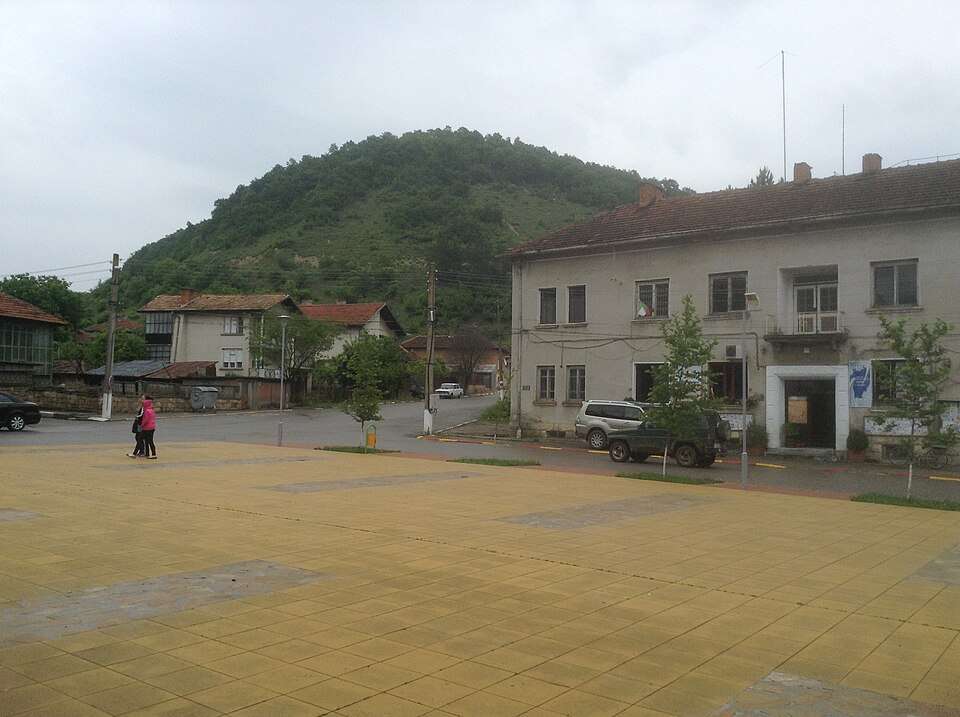
Sultani (Elena Municipality)

Sultani is a village in Elena Municipality, Veliko Tarnovo Province, Bulgaria. EKATTE code: 70216. Elevation range: 300–499 m. This profile uses the official National Register of Settlements. View the location on the map and add the settlement to your personal itinerary.

About this place
View location

Map of Bulgaria with a marker for Sumer (Montana Municipality)Representative point of the settlement. Overview map; confirm the exact visiting address.LOCATION · BULGARIASumer (Montana Municipality)NRepresentative point of the settlementMap: Global Tour · Outline: Natural Earth

Representative point of the settlement. Overview map; confirm the exact visiting address.

Bulgaria · Montana

Settlements

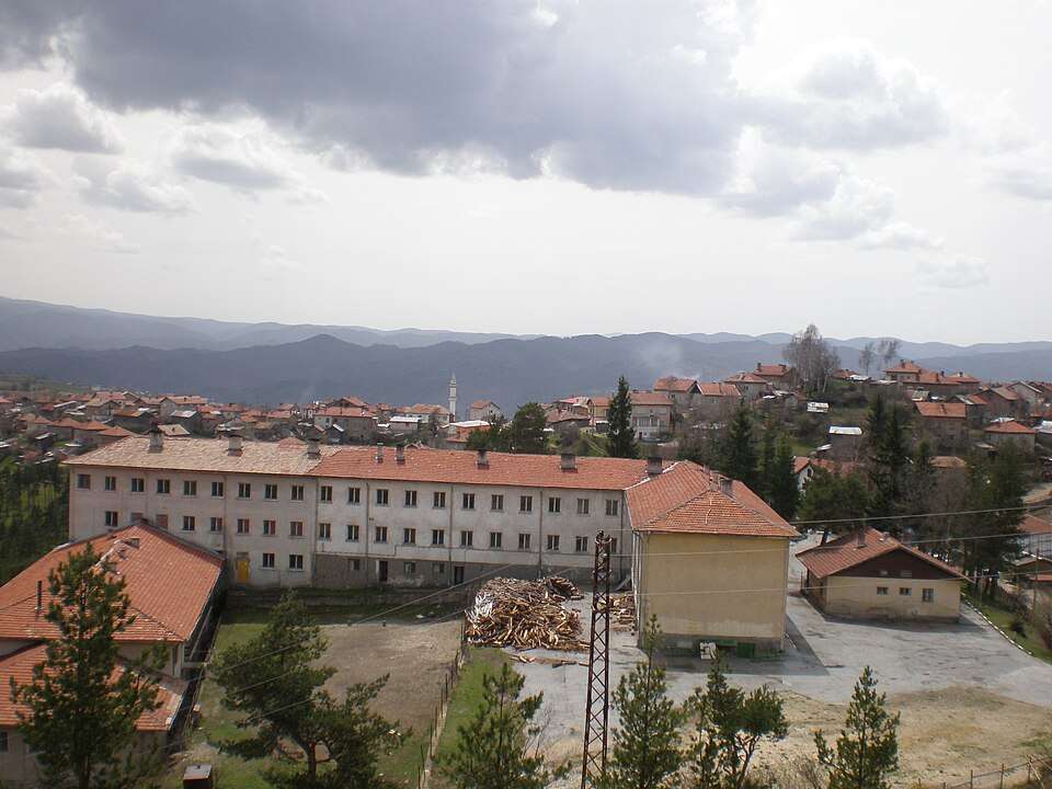
Sumer (Montana Municipality)

Sumer is a village in Montana Municipality, Montana Province, Bulgaria. EKATTE code: 70233. Elevation range: 100–199 m. This profile uses the official National Register of Settlements. View the location on the map and add the settlement to your personal itinerary.

About this place
View location

Map of Bulgaria with a marker for Sushevo (Zavet Municipality)Representative point of the settlement. Overview map; confirm the exact visiting address.LOCATION · BULGARIASushevo (Zavet Municipality)NRepresentative point of the settlementMap: Global Tour · Outline: Natural Earth

Representative point of the settlement. Overview map; confirm the exact visiting address.

Bulgaria · Razgrad

Settlements

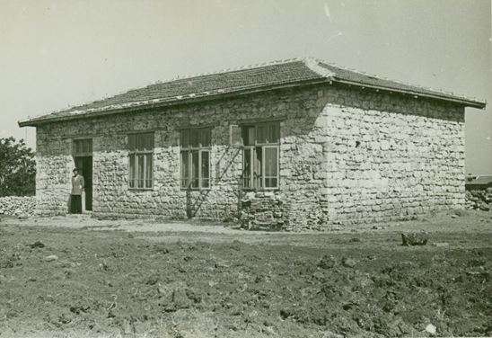
Sushevo (Zavet Municipality)

Sushevo is a village in Zavet Municipality, Razgrad Province, Bulgaria. EKATTE code: 70384. Elevation range: 200–299 m. This profile uses the official National Register of Settlements. View the location on the map and add the settlement to your personal itinerary.

About this place
View location

Map of Bulgaria with a marker for Sushina (Varbitsa Municipality)Representative point of the settlement. Overview map; confirm the exact visiting address.LOCATION · BULGARIASushina (Varbitsa Municipality)NRepresentative point of the settlementMap: Global Tour · Outline: Natural Earth

Representative point of the settlement. Overview map; confirm the exact visiting address.

Bulgaria · Shumen

Settlements

Sushina (Varbitsa Municipality)

Sushina is a village in Varbitsa Municipality, Shumen Province, Bulgaria. EKATTE code: 70398. Elevation range: 200–299 m. This profile uses the official National Register of Settlements. View the location on the map and add the settlement to your personal itinerary.

About this place
View location

Map of Bulgaria with a marker for Sushitsa (Simitli Municipality)Representative point of the settlement. Overview map; confirm the exact visiting address.LOCATION · BULGARIASushitsa (Simitli Municipality)NRepresentative point of the settlementMap: Global Tour · Outline: Natural Earth

Representative point of the settlement. Overview map; confirm the exact visiting address.

Bulgaria · Blagoevgrad

Settlements

Sushitsa (Simitli Municipality)

Sushitsa is a village in Simitli Municipality, Blagoevgrad Province, Bulgaria. EKATTE code: 35105. Elevation range: 500–699 m. This profile uses the official National Register of Settlements. View the location on the map and add the settlement to your personal itinerary.

About this place
View location

Map of Bulgaria with a marker for Sushitsa (Treklyano Municipality)Representative point of the settlement. Overview map; confirm the exact visiting address.LOCATION · BULGARIASushitsa (Treklyano Municipality)NRepresentative point of the settlementMap: Global Tour · Outline: Natural Earth

Representative point of the settlement. Overview map; confirm the exact visiting address.

Bulgaria · Kyustendil

Settlements

Sushitsa (Treklyano Municipality)

Sushitsa is a village in Treklyano Municipality, Kyustendil Province, Bulgaria. EKATTE code: 70411. Elevation range: 700–999 m. This profile uses the official National Register of Settlements. View the location on the map and add the settlement to your personal itinerary.

About this place
View location

Map of Bulgaria with a marker for Svatbare (Kardzhali Municipality)Representative point of the settlement. Overview map; confirm the exact visiting address.LOCATION · BULGARIASvatbare (Kardzhali Municipality)NRepresentative point of the settlementMap: Global Tour · Outline: Natural Earth

Representative point of the settlement. Overview map; confirm the exact visiting address.

Bulgaria · Kardzhali

Settlements

Svatbare (Kardzhali Municipality)

Svatbare is a village in Kardzhali Municipality, Kardzhali Province, Bulgaria. EKATTE code: 65512. Elevation range: 200–299 m. This profile uses the official National Register of Settlements. View the location on the map and add the settlement to your personal itinerary.

About this place
View location

Map of Bulgaria with a marker for Sveshtari (Isperih Municipality)Representative point of the settlement. Overview map; confirm the exact visiting address.LOCATION · BULGARIASveshtari (Isperih Municipality)NRepresentative point of the settlementMap: Global Tour · Outline: Natural Earth

Representative point of the settlement. Overview map; confirm the exact visiting address.

Bulgaria · Razgrad

Settlements

Sveshtari (Isperih Municipality)

Sveshtari is a village in Isperih Municipality, Razgrad Province, Bulgaria. EKATTE code: 65650. Elevation range: 200–299 m. This profile uses the official National Register of Settlements. View the location on the map and add the settlement to your personal itinerary.

About this place
View location

Map of Bulgaria with a marker for Sveti Konstantin (Peshtera Municipality)Representative point of the settlement. Overview map; confirm the exact visiting address.LOCATION · BULGARIASveti Konstantin (Peshtera Municipality)NRepresentative point of the settlementMap: Global Tour · Outline: Natural Earth

Representative point of the settlement. Overview map; confirm the exact visiting address.

Bulgaria · Pazardzhik

Settlements

Sveti Konstantin (Peshtera Municipality)

Sveti Konstantin is a village in Peshtera Municipality, Pazardzhik Province, Bulgaria. EKATTE code: 87825. Elevation range: ≥ 1000 m. This profile uses the official National Register of Settlements. View the location on the map and add the settlement to your personal itinerary.

About this place
View location

Map of Bulgaria with a marker for Sveti Spas (Dolna banya Municipality)Representative point of the settlement. Overview map; confirm the exact visiting address.LOCATION · BULGARIASveti Spas (Dolna banya Municipality)NRepresentative point of the settlementMap: Global Tour · Outline: Natural Earth

Representative point of the settlement. Overview map; confirm the exact visiting address.

Bulgaria · Sofia Province

Settlements

Sveti Spas (Dolna banya Municipality)

Sveti Spas is a village in Dolna banya Municipality, Sofia Province Province, Bulgaria. EKATTE code: 87816. Elevation range: ≥ 1000 m. This profile uses the official National Register of Settlements. View the location on the map and add the settlement to your personal itinerary.

About this place
View location

© 2026 Global Tour