Places

Discover the places on our routes — history, nature and landmarks.

The catalogue continues to grow. See the linked source for visit details.

Settlements · 5,256
Clear all filters

Places found: 5604 · Showing 2,281–2,304 of 5,604 · Page 96 / 234

Map of Bulgaria with a marker for Kolarovo (Radnevo Municipality)Representative point of the settlement. Overview map; confirm the exact visiting address.LOCATION · BULGARIAKolarovo (Radnevo Municipality)NRepresentative point of the settlementMap: Global Tour · Outline: Natural Earth

Representative point of the settlement. Overview map; confirm the exact visiting address.

Bulgaria · Stara Zagora

Settlements

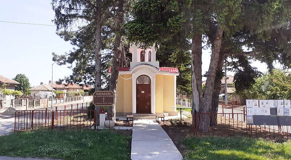
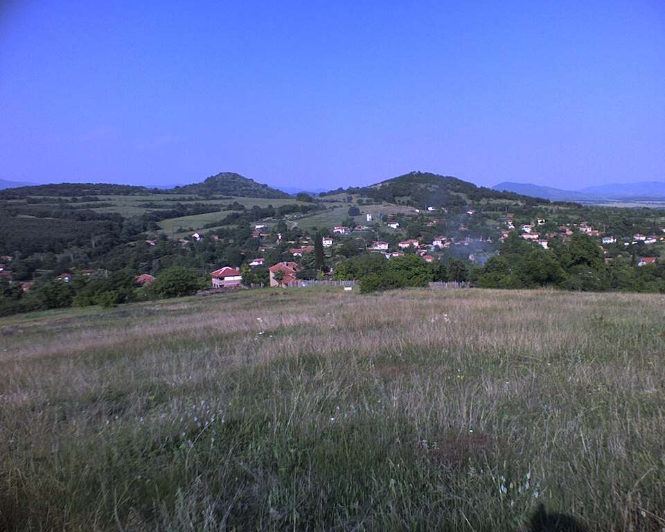
Kolarovo (Radnevo Municipality)

Kolarovo is a village in Radnevo Municipality, Stara Zagora Province, Bulgaria. EKATTE code: 38008. Elevation range: 100–199 m. This profile uses the official National Register of Settlements. View the location on the map and add the settlement to your personal itinerary.

About this place
View location

Map of Bulgaria with a marker for Kolena (Stara Zagora Municipality)Representative point of the settlement. Overview map; confirm the exact visiting address.LOCATION · BULGARIAKolena (Stara Zagora Municipality)NRepresentative point of the settlementMap: Global Tour · Outline: Natural Earth

Representative point of the settlement. Overview map; confirm the exact visiting address.

Bulgaria · Stara Zagora

Settlements

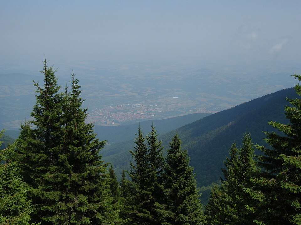
Kolena (Stara Zagora Municipality)

Kolena is a village in Stara Zagora Municipality, Stara Zagora Province, Bulgaria. EKATTE code: 38039. Elevation range: 200–299 m. This profile uses the official National Register of Settlements. View the location on the map and add the settlement to your personal itinerary.

About this place
View location

Map of Bulgaria with a marker for Kolets (Mineralni bani Municipality)Representative point of the settlement. Overview map; confirm the exact visiting address.LOCATION · BULGARIAKolets (Mineralni bani Municipality)NRepresentative point of the settlementMap: Global Tour · Outline: Natural Earth

Representative point of the settlement. Overview map; confirm the exact visiting address.

Bulgaria · Haskovo

Settlements

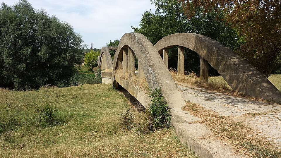
Kolets (Mineralni bani Municipality)

Kolets is a village in Mineralni bani Municipality, Haskovo Province, Bulgaria. EKATTE code: 38042. Elevation range: 300–499 m. This profile uses the official National Register of Settlements. View the location on the map and add the settlement to your personal itinerary.

About this place
View location

Map of Bulgaria with a marker for Kolibite (Strumyani Municipality)Representative point of the settlement. Overview map; confirm the exact visiting address.LOCATION · BULGARIAKolibite (Strumyani Municipality)NRepresentative point of the settlementMap: Global Tour · Outline: Natural Earth

Representative point of the settlement. Overview map; confirm the exact visiting address.

Bulgaria · Blagoevgrad

Settlements

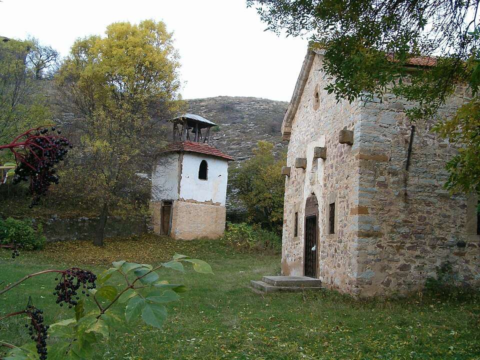
Kolibite (Strumyani Municipality)

Kolibite is a village in Strumyani Municipality, Blagoevgrad Province, Bulgaria. EKATTE code: 38056. Elevation range: ≥ 1000 m. This profile uses the official National Register of Settlements. View the location on the map and add the settlement to your personal itinerary.

About this place
View location

Map of Bulgaria with a marker for Kolishovtsi (Gabrovo Municipality)Representative point of the settlement. Overview map; confirm the exact visiting address.LOCATION · BULGARIAKolishovtsi (Gabrovo Municipality)NRepresentative point of the settlementMap: Global Tour · Outline: Natural Earth

Representative point of the settlement. Overview map; confirm the exact visiting address.

Bulgaria · Gabrovo

Settlements

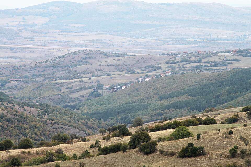
Kolishovtsi (Gabrovo Municipality)

Kolishovtsi is a village in Gabrovo Municipality, Gabrovo Province, Bulgaria. EKATTE code: 38060. Elevation range: 500–699 m. This profile uses the official National Register of Settlements. View the location on the map and add the settlement to your personal itinerary.

About this place
View location

Map of Bulgaria with a marker for Kolobar (Dulovo Municipality)Representative point of the settlement. Overview map; confirm the exact visiting address.LOCATION · BULGARIAKolobar (Dulovo Municipality)NRepresentative point of the settlementMap: Global Tour · Outline: Natural Earth

Representative point of the settlement. Overview map; confirm the exact visiting address.

Bulgaria · Silistra

Settlements

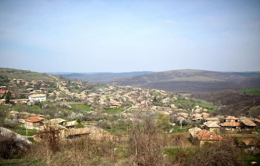
Kolobar (Dulovo Municipality)

Kolobar is a village in Dulovo Municipality, Silistra Province, Bulgaria. EKATTE code: 38073. Elevation range: 200–299 m. This profile uses the official National Register of Settlements. View the location on the map and add the settlement to your personal itinerary.

About this place
View location

Map of Bulgaria with a marker for Kolyu Ficheto Museum — DryanovoApproximate area: Dryanovo. Overview map; confirm the exact visiting address.LOCATION · BULGARIAKolyu Ficheto Museum — DryanovoNApproximate area: DryanovoMap: Global Tour · Outline: Natural Earth

Approximate area: Dryanovo. Overview map; confirm the exact visiting address.

Bulgaria · Gabrovo

Museums and galleries

Kolyu Ficheto Museum — Dryanovo

Tools, building documents and woodcarving samples reveal the master’s working methods. Models, archival photographs and drawings present his churches, houses and bridges, including structures in his home town of Dryanovo.

About this place
View location

Map of Bulgaria with a marker for Kolyu Ganev (Tryavna Municipality)Representative point of the settlement. Overview map; confirm the exact visiting address.LOCATION · BULGARIAKolyu Ganev (Tryavna Municipality)NRepresentative point of the settlementMap: Global Tour · Outline: Natural Earth

Representative point of the settlement. Overview map; confirm the exact visiting address.

Bulgaria · Gabrovo

Settlements

Kolyu Ganev (Tryavna Municipality)

Kolyu Ganev is a village in Tryavna Municipality, Gabrovo Province, Bulgaria. EKATTE code: 38090. Elevation range: 500–699 m. This profile uses the official National Register of Settlements. View the location on the map and add the settlement to your personal itinerary.

About this place
View location

Photograph from Kolyu Marinovo (Bratya Daskalovi Municipality)

Photograph from Kolyu Marinovo (Bratya Daskalovi Municipality)

Bulgaria · Stara Zagora

Settlements

Kolyu Marinovo (Bratya Daskalovi Municipality)

Kolyu Marinovo is a village in Bratya Daskalovi Municipality, Stara Zagora Province, Bulgaria. EKATTE code: 38100. Elevation range: 300–499 m. This profile uses the official National Register of Settlements. View the location on the map and add the settlement to your personal itinerary.

About this place

Photo: Original author and uploader was Karatanev at bg.wikipedia · Public domain · License

View location

Map of Bulgaria with a marker for Komarevo (Berkovitsa Municipality)Representative point of the settlement. Overview map; confirm the exact visiting address.LOCATION · BULGARIAKomarevo (Berkovitsa Municipality)NRepresentative point of the settlementMap: Global Tour · Outline: Natural Earth

Representative point of the settlement. Overview map; confirm the exact visiting address.

Bulgaria · Montana

Settlements

Komarevo (Berkovitsa Municipality)

Komarevo is a village in Berkovitsa Municipality, Montana Province, Bulgaria. EKATTE code: 38131. Elevation range: 200–299 m. This profile uses the official National Register of Settlements. View the location on the map and add the settlement to your personal itinerary.

About this place
View location

Map of Bulgaria with a marker for Komarevo (Byala Slatina Municipality)Representative point of the settlement. Overview map; confirm the exact visiting address.LOCATION · BULGARIAKomarevo (Byala Slatina Municipality)NRepresentative point of the settlementMap: Global Tour · Outline: Natural Earth

Representative point of the settlement. Overview map; confirm the exact visiting address.

Bulgaria · Vratsa

Settlements

Komarevo (Byala Slatina Municipality)

Komarevo is a village in Byala Slatina Municipality, Vratsa Province, Bulgaria. EKATTE code: 38128. Elevation range: 100–199 m. This profile uses the official National Register of Settlements. View the location on the map and add the settlement to your personal itinerary.

About this place
View location

Map of Bulgaria with a marker for Komarevo (Provadia Municipality)Representative point of the settlement. Overview map; confirm the exact visiting address.LOCATION · BULGARIAKomarevo (Provadia Municipality)NRepresentative point of the settlementMap: Global Tour · Outline: Natural Earth

Representative point of the settlement. Overview map; confirm the exact visiting address.

Bulgaria · Varna

Settlements

Komarevo (Provadia Municipality)

Komarevo is a village in Provadia Municipality, Varna Province, Bulgaria. EKATTE code: 38114. Elevation range: 50–99 m. This profile uses the official National Register of Settlements. View the location on the map and add the settlement to your personal itinerary.

About this place
View location

Map of Bulgaria with a marker for Komoshtitsa (Yakimovo Municipality)Representative point of the settlement. Overview map; confirm the exact visiting address.LOCATION · BULGARIAKomoshtitsa (Yakimovo Municipality)NRepresentative point of the settlementMap: Global Tour · Outline: Natural Earth

Representative point of the settlement. Overview map; confirm the exact visiting address.

Bulgaria · Montana

Settlements

Komoshtitsa (Yakimovo Municipality)

Komoshtitsa is a village in Yakimovo Municipality, Montana Province, Bulgaria. EKATTE code: 38159. Elevation range: 100–199 m. This profile uses the official National Register of Settlements. View the location on the map and add the settlement to your personal itinerary.

About this place
View location

Map of Bulgaria with a marker for Komunari (Dalgopol Municipality)Representative point of the settlement. Overview map; confirm the exact visiting address.LOCATION · BULGARIAKomunari (Dalgopol Municipality)NRepresentative point of the settlementMap: Global Tour · Outline: Natural Earth

Representative point of the settlement. Overview map; confirm the exact visiting address.

Bulgaria · Varna

Settlements

Komunari (Dalgopol Municipality)

Komunari is a village in Dalgopol Municipality, Varna Province, Bulgaria. EKATTE code: 38162. Elevation range: 50–99 m. This profile uses the official National Register of Settlements. View the location on the map and add the settlement to your personal itinerary.

About this place
View location

Map of Bulgaria with a marker for Konare (General Toshevo Municipality)Representative point of the settlement. Overview map; confirm the exact visiting address.LOCATION · BULGARIAKonare (General Toshevo Municipality)NRepresentative point of the settlementMap: Global Tour · Outline: Natural Earth

Representative point of the settlement. Overview map; confirm the exact visiting address.

Bulgaria · Dobrich

Settlements

Konare (General Toshevo Municipality)

Konare is a village in General Toshevo Municipality, Dobrich Province, Bulgaria. EKATTE code: 38217. Elevation range: 100–199 m. This profile uses the official National Register of Settlements. View the location on the map and add the settlement to your personal itinerary.

About this place
View location

Map of Bulgaria with a marker for Konare (Gurkovo Municipality)Representative point of the settlement. Overview map; confirm the exact visiting address.LOCATION · BULGARIAKonare (Gurkovo Municipality)NRepresentative point of the settlementMap: Global Tour · Outline: Natural Earth

Representative point of the settlement. Overview map; confirm the exact visiting address.

Bulgaria · Stara Zagora

Settlements

Konare (Gurkovo Municipality)

Konare is a village in Gurkovo Municipality, Stara Zagora Province, Bulgaria. EKATTE code: 38203. Elevation range: 300–499 m. This profile uses the official National Register of Settlements. View the location on the map and add the settlement to your personal itinerary.

About this place
View location

Map of Bulgaria with a marker for Konarsko (Yakoruda Municipality)Representative point of the settlement. Overview map; confirm the exact visiting address.LOCATION · BULGARIAKonarsko (Yakoruda Municipality)NRepresentative point of the settlementMap: Global Tour · Outline: Natural Earth

Representative point of the settlement. Overview map; confirm the exact visiting address.

Bulgaria · Blagoevgrad

Settlements

Konarsko (Yakoruda Municipality)

Konarsko is a village in Yakoruda Municipality, Blagoevgrad Province, Bulgaria. EKATTE code: 38220. Elevation range: 700–999 m. This profile uses the official National Register of Settlements. View the location on the map and add the settlement to your personal itinerary.

About this place
View location

Map of Bulgaria with a marker for Konarskoto (Tryavna Municipality)Representative point of the settlement. Overview map; confirm the exact visiting address.LOCATION · BULGARIAKonarskoto (Tryavna Municipality)NRepresentative point of the settlementMap: Global Tour · Outline: Natural Earth

Representative point of the settlement. Overview map; confirm the exact visiting address.

Bulgaria · Gabrovo

Settlements

Konarskoto (Tryavna Municipality)

Konarskoto is a village in Tryavna Municipality, Gabrovo Province, Bulgaria. EKATTE code: 38234. Elevation range: 700–999 m. This profile uses the official National Register of Settlements. View the location on the map and add the settlement to your personal itinerary.

About this place
View location

© 2026 Global Tour