Representative point of the settlement. Overview map; confirm the exact visiting address.
保加利亚 · 克尔贾利州
居民点
Austa(Momchilgrad 市镇)
Austa 是保加利亚克尔贾利州 Momchilgrad 市镇的一处村庄。 EKATTE 代码:00828。海拔范围:300–499 米。 本资料依据官方《全国居民点登记册》编写。您可以在地图上查看位置,并将此地加入个人旅行路线。
查看详情
探索旅行路线上的自然景观、历史遗迹和文化景点。
景点目录持续更新。参观详情请查看景点页面中的来源链接。
保加利亚居民点 · 5,256找到景点: 5604 · 显示第 97–120 项,共 5,604 · 页 5 / 234
Representative point of the settlement. Overview map; confirm the exact visiting address.
保加利亚 · 克尔贾利州
居民点
Austa 是保加利亚克尔贾利州 Momchilgrad 市镇的一处村庄。 EKATTE 代码:00828。海拔范围:300–499 米。 本资料依据官方《全国居民点登记册》编写。您可以在地图上查看位置,并将此地加入个人旅行路线。
查看详情Representative point of the settlement. Overview map; confirm the exact visiting address.
保加利亚 · 克尔贾利州
居民点
Avramovo 是保加利亚克尔贾利州 Ardino 市镇的一处村庄。 EKATTE 代码:00062。海拔范围:500–699 米。 本资料依据官方《全国居民点登记册》编写。您可以在地图上查看位置,并将此地加入个人旅行路线。
查看详情
Avramovo(Yakoruda 市镇)的照片
保加利亚 · 布拉戈耶夫格勒州
居民点
Avramovo 是保加利亚布拉戈耶夫格勒州 Yakoruda 市镇的一处村庄。 EKATTE 代码:00059。海拔范围:700–999 米。 本资料依据官方《全国居民点登记册》编写。您可以在地图上查看位置,并将此地加入个人旅行路线。
查看详情图片来源: Spasimir Pilev · CC BY-SA 4.0 · 许可协议
查看位置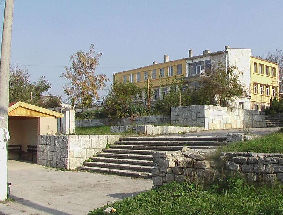
Avren(Avren 市镇)的照片
保加利亚 · 瓦尔纳州
居民点
Avren 是保加利亚瓦尔纳州 Avren 市镇的一处村庄。 EKATTE 代码:00084。海拔范围:200–299 米。该地是市镇行政中心。 本资料依据官方《全国居民点登记册》编写。您可以在地图上查看位置,并将此地加入个人旅行路线。
查看详情图片来源: Original author and uploader was SUL Rave at bg.wikipedia · Public domain · 许可协议
查看位置
Avren(Krumovgrad 市镇)的照片
保加利亚 · 克尔贾利州
居民点
Avren 是保加利亚克尔贾利州 Krumovgrad 市镇的一处村庄。 EKATTE 代码:00093。海拔范围:500–699 米。 本资料依据官方《全国居民点登记册》编写。您可以在地图上查看位置,并将此地加入个人旅行路线。
查看详情图片来源: User:Ggia · CC BY-SA 3.0 · 许可协议
查看位置
Aydemir(Silistra 市镇)的照片
保加利亚 · 锡利斯特拉州
居民点
Aydemir 是保加利亚锡利斯特拉州 Silistra 市镇的一处村庄。 EKATTE 代码:00895。海拔范围:0–49 米。 本资料依据官方《全国居民点登记册》编写。您可以在地图上查看位置,并将此地加入个人旅行路线。
查看详情图片来源: Todor Bozhinov · CC BY-SA 4.0 · 许可协议
查看位置Representative point of the settlement. Overview map; confirm the exact visiting address.
保加利亚 · 克尔贾利州
居民点
Ayrovo 是保加利亚克尔贾利州 Kardzhali 市镇的一处村庄。 EKATTE 代码:00148。海拔范围:200–299 米。 本资料依据官方《全国居民点登记册》编写。您可以在地图上查看位置,并将此地加入个人旅行路线。
查看详情
Aytos(Aytos 市镇)的照片
保加利亚 · 布尔加斯州
居民点
Aytos 是保加利亚布尔加斯州 Aytos 市镇的一处城市。 EKATTE 代码:00151。海拔范围:50–99 米。该地是市镇行政中心。 本资料依据官方《全国居民点登记册》编写。您可以在地图上查看位置,并将此地加入个人旅行路线。
查看详情图片来源: Manol Z. Manolov · CC BY-SA 3.0 · 许可协议
查看位置Representative point of the settlement. Overview map; confirm the exact visiting address.
保加利亚 · 加布罗沃州
居民点
Azmanite 是保加利亚加布罗沃州 Tryavna 市镇的一处村庄。 EKATTE 代码:00117。海拔范围:500–699 米。 本资料依据官方《全国居民点登记册》编写。您可以在地图上查看位置,并将此地加入个人旅行路线。
查看详情
Baba Tonka(Popovo 市镇)的照片
保加利亚 · 特尔戈维什特州
居民点
Baba Tonka 是保加利亚特尔戈维什特州 Popovo 市镇的一处村庄。 EKATTE 代码:02021。海拔范围:300–499 米。 本资料依据官方《全国居民点登记册》编写。您可以在地图上查看位置,并将此地加入个人旅行路线。
查看详情图片来源: Wlado bg at Bulgarian Wikipedia · Public domain · 许可协议
查看位置
保加利亚 · 维丁州
历史与考古
建在罗曼·博诺尼亚的遗骨上 堡垒将统治者的城堡与军事防御结合起来其双面墙、塔和护城河展示了多瑙河镇在中世纪如何得到保护。
查看详情图片来源: Камен Ханджиев · CC BY-SA 4.0 · 许可协议
查看位置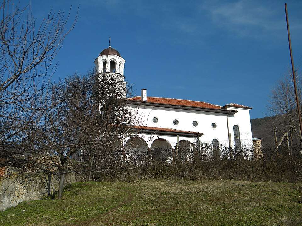
Babek(Brezovo 市镇)的照片
保加利亚 · 普罗夫迪夫州
居民点
Babek 是保加利亚普罗夫迪夫州 Brezovo 市镇的一处村庄。 EKATTE 代码:02035。海拔范围:300–499 米。 本资料依据官方《全国居民点登记册》编写。您可以在地图上查看位置,并将此地加入个人旅行路线。
查看详情图片来源: Berchaf · CC BY-SA 3.0 · 许可协议
查看位置
Babino(Bobov dol 市镇)的照片
保加利亚 · 丘斯滕迪尔州
居民点
Babino 是保加利亚丘斯滕迪尔州 Bobov dol 市镇的一处村庄。 EKATTE 代码:02049。海拔范围:500–699 米。 本资料依据官方《全国居民点登记册》编写。您可以在地图上查看位置,并将此地加入个人旅行路线。
查看详情图片来源: Vassia Atanassova - Spiritia · Public domain · 许可协议
查看位置Representative point of the settlement. Overview map; confirm the exact visiting address.
保加利亚 · 丘斯滕迪尔州
居民点
Babinska reka 是保加利亚丘斯滕迪尔州 Bobov dol 市镇的一处村庄。 EKATTE 代码:02052。海拔范围:500–699 米。 本资料依据官方《全国居民点登记册》编写。您可以在地图上查看位置,并将此地加入个人旅行路线。
查看详情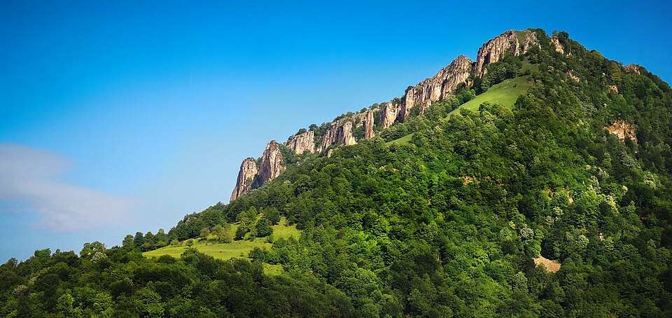
Babintsi(Teteven 市镇)的照片
保加利亚 · 洛维奇州
居民点
Babintsi 是保加利亚洛维奇州 Teteven 市镇的一处村庄。 EKATTE 代码:07884。海拔范围:700–999 米。 本资料依据官方《全国居民点登记册》编写。您可以在地图上查看位置,并将此地加入个人旅行路线。
查看详情图片来源: Doctor8888 · CC BY-SA 4.0 · 许可协议
查看位置
Babitsa(Breznik 市镇)的照片
保加利亚 · 佩尔尼克州
居民点
Babitsa 是保加利亚佩尔尼克州 Breznik 市镇的一处村庄。 EKATTE 代码:02066。海拔范围:700–999 米。 本资料依据官方《全国居民点登记册》编写。您可以在地图上查看位置,并将此地加入个人旅行路线。
查看详情图片来源: Anton Lefterov · CC BY-SA 4.0 · 许可协议
查看位置Representative point of the settlement. Overview map; confirm the exact visiting address.
保加利亚 · 斯莫梁州
居民点
Bablon 是保加利亚斯莫梁州 Smolyan 市镇的一处村庄。 EKATTE 代码:02076。海拔范围:≥ 1000 米。 本资料依据官方《全国居民点登记册》编写。您可以在地图上查看位置,并将此地加入个人旅行路线。
查看详情Representative point of the settlement. Overview map; confirm the exact visiting address.
保加利亚 · 鲁塞州
居民点
Babovo 是保加利亚鲁塞州 Slivo pole 市镇的一处村庄。 EKATTE 代码:02083。海拔范围:0–49 米。 本资料依据官方《全国居民点登记册》编写。您可以在地图上查看位置,并将此地加入个人旅行路线。
查看详情Representative point of the settlement. Overview map; confirm the exact visiting address.
保加利亚 · 锡利斯特拉州
居民点
Babuk 是保加利亚锡利斯特拉州 Silistra 市镇的一处村庄。 EKATTE 代码:02097。海拔范围:50–99 米。 本资料依据官方《全国居民点登记册》编写。您可以在地图上查看位置,并将此地加入个人旅行路线。
查看详情Representative point of the settlement. Overview map; confirm the exact visiting address.
保加利亚 · 布拉戈耶夫格勒州
居民点
Babyak 是保加利亚布拉戈耶夫格勒州 Belitsa 市镇的一处村庄。 EKATTE 代码:02107。海拔范围:≥ 1000 米。 本资料依据官方《全国居民点登记册》编写。您可以在地图上查看位置,并将此地加入个人旅行路线。
查看详情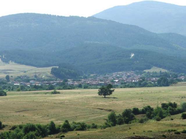
Bachevo(Razlog 市镇)的照片
保加利亚 · 布拉戈耶夫格勒州
居民点
Bachevo 是保加利亚布拉戈耶夫格勒州 Razlog 市镇的一处村庄。 EKATTE 代码:02960。海拔范围:700–999 米。 本资料依据官方《全国居民点登记册》编写。您可以在地图上查看位置,并将此地加入个人旅行路线。
查看详情图片来源: Nagibator1948 · CC BY-SA 4.0 · 许可协议
查看位置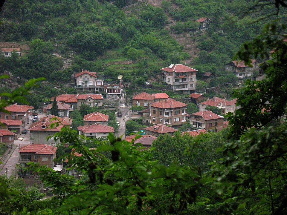
Bachkovo(Asenovgrad 市镇)的照片
保加利亚 · 普罗夫迪夫州
居民点
Bachkovo 是保加利亚普罗夫迪夫州 Asenovgrad 市镇的一处村庄。 EKATTE 代码:02974。海拔范围:300–499 米。 本资料依据官方《全国居民点登记册》编写。您可以在地图上查看位置,并将此地加入个人旅行路线。
查看详情图片来源: Михал Орела · CC BY 3.0 · 许可协议
查看位置
保加利亚 · 普罗夫迪夫州
修道院及宗教场所
艺术珍品包括修道院餐厅的壁画和圣尼古拉教堂,其中壁画由扎哈里·佐格拉夫绘制。修道院的藏骨堂保留了较早时期的建筑遗存,见证了这里作为文化中心的长期发展。
查看详情图片来源: Cho2012 · CC BY-SA 4.0 · 许可协议
查看位置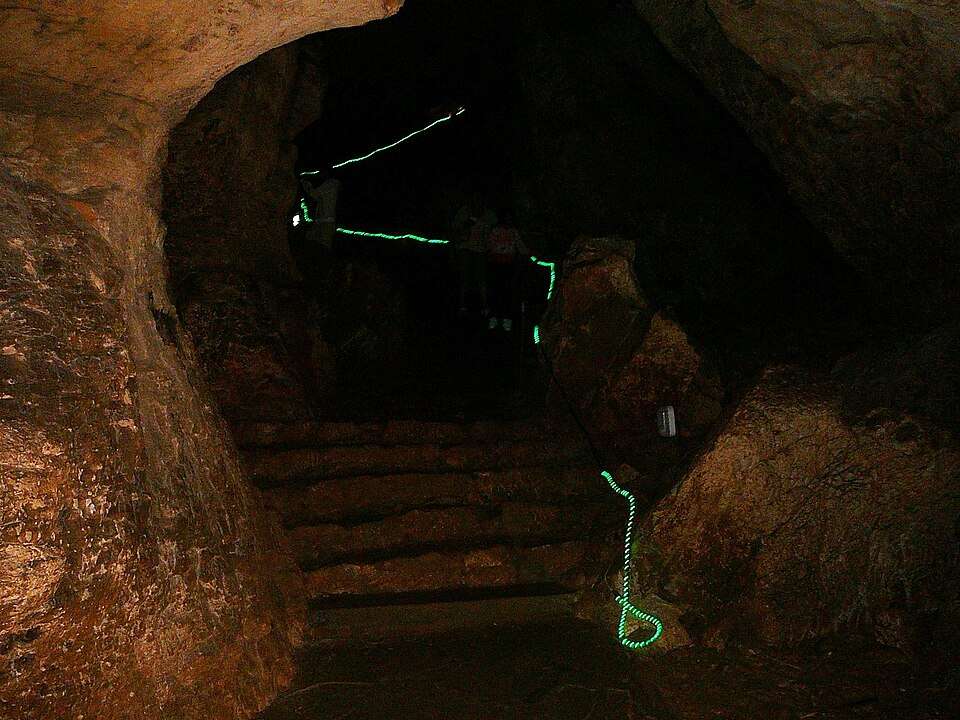
保加利亚 · 加布罗沃州
自然与山地
洞穴形成一个四层的复杂迷宫,在达纳诺夫奥修道院附近 画廊和树枝处其地下空间的长期自然开发增加了该地区文化景观的地质层面。
查看详情图片来源: Elena Chochkova · CC BY-SA 3.0 · 许可协议
查看位置