Places

Discover the places on our routes — history, nature and landmarks.

The catalogue continues to grow. See the linked source for visit details.

Settlements · 5,256

Places found: 5893 · Showing 3,457–3,480 of 5,893 · Page 145 / 246

Map of Bulgaria with a marker for Ogled (Rudozem Municipality)Representative point of the settlement. Overview map; confirm the exact visiting address.LOCATION · BULGARIAOgled (Rudozem Municipality)NRepresentative point of the settlementMap: Global Tour · Outline: Natural Earth

Representative point of the settlement. Overview map; confirm the exact visiting address.

Bulgaria · Smolyan

Settlements

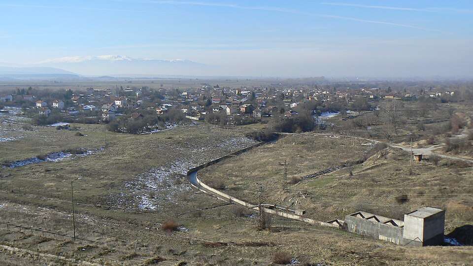
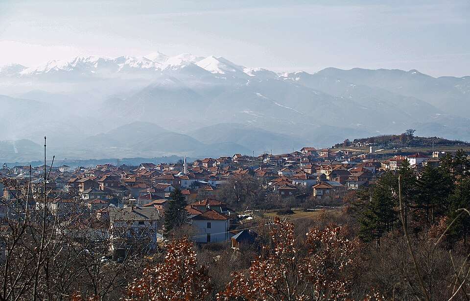
Ogled (Rudozem Municipality)

Ogled is a village in Rudozem Municipality, Smolyan Province, Bulgaria. EKATTE code: 53309. Elevation range: 700–999 m. This profile uses the official National Register of Settlements. View the location on the map and add the settlement to your personal itinerary.

About this place
View location

Map of Bulgaria with a marker for Ognen (Karnobat Municipality)Representative point of the settlement. Overview map; confirm the exact visiting address.LOCATION · BULGARIAOgnen (Karnobat Municipality)NRepresentative point of the settlementMap: Global Tour · Outline: Natural Earth

Representative point of the settlement. Overview map; confirm the exact visiting address.

Bulgaria · Burgas

Settlements

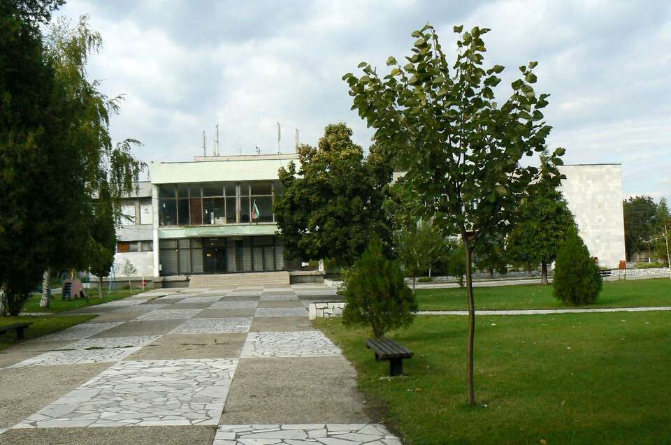
Ognen (Karnobat Municipality)

Ognen is a village in Karnobat Municipality, Burgas Province, Bulgaria. EKATTE code: 53312. Elevation range: 200–299 m. This profile uses the official National Register of Settlements. View the location on the map and add the settlement to your personal itinerary.

About this place
View location

Photograph from Ognyanovo (Elin Pelin Municipality)

Photograph from Ognyanovo (Elin Pelin Municipality)

Bulgaria · Sofia Province

Settlements

Ognyanovo (Elin Pelin Municipality)

Ognyanovo is a village in Elin Pelin Municipality, Sofia Province Province, Bulgaria. EKATTE code: 53343. Elevation range: 500–699 m. This profile uses the official National Register of Settlements. View the location on the map and add the settlement to your personal itinerary.

About this place
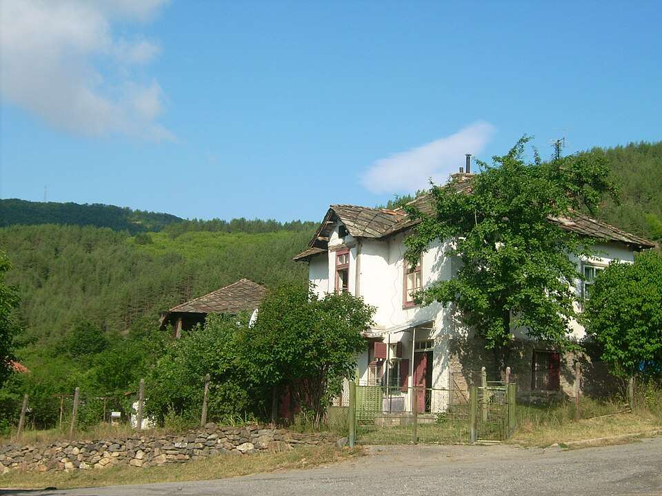
Photo: Vassia Atanassova - Spiritia · Public domain · License

View location

Map of Bulgaria with a marker for Ognyanovo (Krushari Municipality)Representative point of the settlement. Overview map; confirm the exact visiting address.LOCATION · BULGARIAOgnyanovo (Krushari Municipality)NRepresentative point of the settlementMap: Global Tour · Outline: Natural Earth

Representative point of the settlement. Overview map; confirm the exact visiting address.

Bulgaria · Dobrich

Settlements

Ognyanovo (Krushari Municipality)

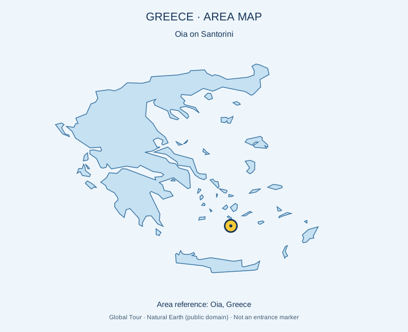
Ognyanovo is a village in Krushari Municipality, Dobrich Province, Bulgaria. EKATTE code: 53357. Elevation range: 100–199 m. This profile uses the official National Register of Settlements. View the location on the map and add the settlement to your personal itinerary.

About this place
View location

Map of Bulgaria with a marker for Ogradna (Nedelino Municipality)Representative point of the settlement. Overview map; confirm the exact visiting address.LOCATION · BULGARIAOgradna (Nedelino Municipality)NRepresentative point of the settlementMap: Global Tour · Outline: Natural Earth

Representative point of the settlement. Overview map; confirm the exact visiting address.

Bulgaria · Smolyan

Settlements

Ogradna (Nedelino Municipality)

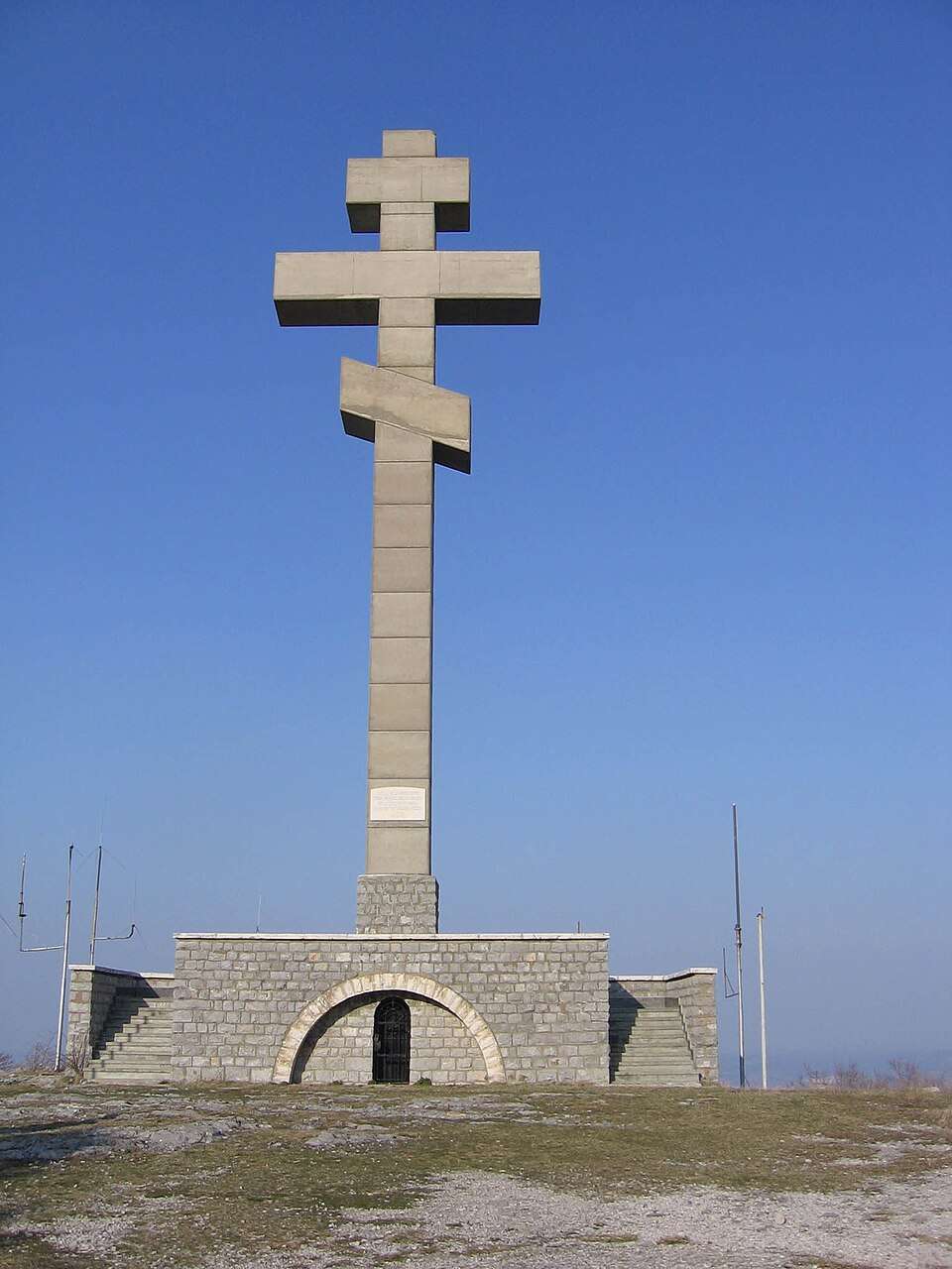
Ogradna is a village in Nedelino Municipality, Smolyan Province, Bulgaria. EKATTE code: 53388. Elevation range: 700–999 m. This profile uses the official National Register of Settlements. View the location on the map and add the settlement to your personal itinerary.

About this place
View location

Map of Bulgaria with a marker for Ograzhden (General Toshevo Municipality)Representative point of the settlement. Overview map; confirm the exact visiting address.LOCATION · BULGARIAOgrazhden (General Toshevo Municipality)NRepresentative point of the settlementMap: Global Tour · Outline: Natural Earth

Representative point of the settlement. Overview map; confirm the exact visiting address.

Bulgaria · Dobrich

Settlements

Ograzhden (General Toshevo Municipality)

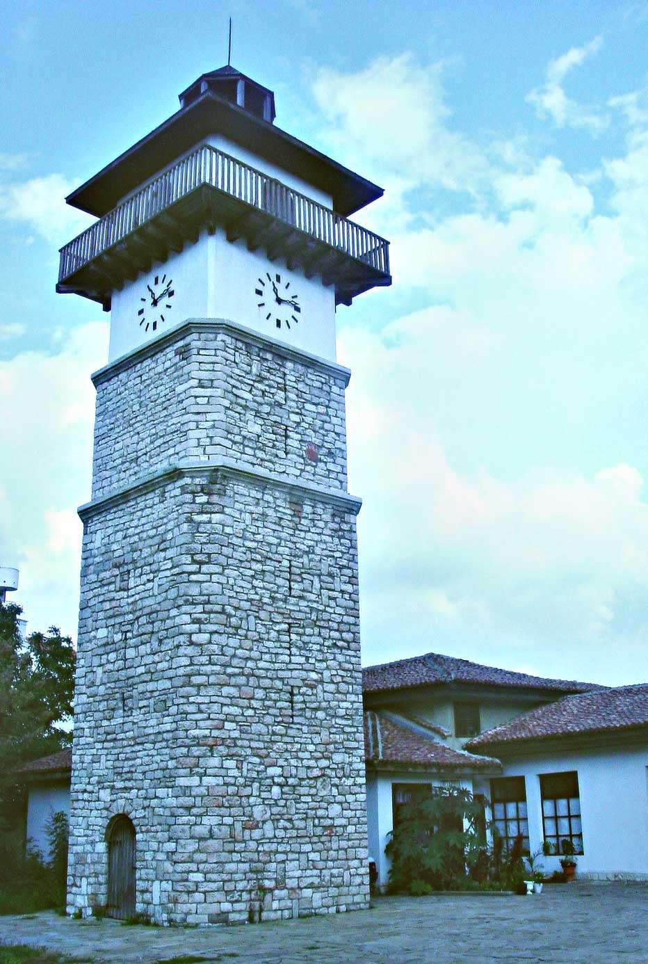
Ograzhden is a village in General Toshevo Municipality, Dobrich Province, Bulgaria. EKATTE code: 53391. Elevation range: 100–199 m. This profile uses the official National Register of Settlements. View the location on the map and add the settlement to your personal itinerary.

About this place
View location

Map of Bulgaria with a marker for Ohlyuvets (Kardzhali Municipality)Representative point of the settlement. Overview map; confirm the exact visiting address.LOCATION · BULGARIAOhlyuvets (Kardzhali Municipality)NRepresentative point of the settlementMap: Global Tour · Outline: Natural Earth

Representative point of the settlement. Overview map; confirm the exact visiting address.

Bulgaria · Kardzhali

Settlements

Ohlyuvets (Kardzhali Municipality)

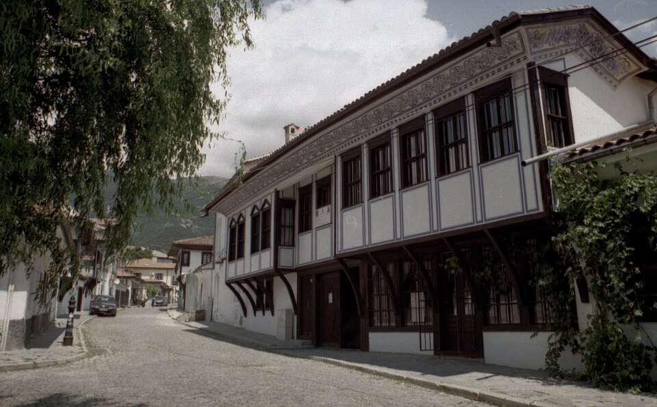
Ohlyuvets is a village in Kardzhali Municipality, Kardzhali Province, Bulgaria. EKATTE code: 54479. Elevation range: 500–699 m. This profile uses the official National Register of Settlements. View the location on the map and add the settlement to your personal itinerary.

About this place
View location

Map of Bulgaria with a marker for Ohoden (Vratsa Municipality)Representative point of the settlement. Overview map; confirm the exact visiting address.LOCATION · BULGARIAOhoden (Vratsa Municipality)NRepresentative point of the settlementMap: Global Tour · Outline: Natural Earth

Representative point of the settlement. Overview map; confirm the exact visiting address.

Bulgaria · Vratsa

Settlements

Ohoden (Vratsa Municipality)

Ohoden is a village in Vratsa Municipality, Vratsa Province, Bulgaria. EKATTE code: 54482. Elevation range: 200–299 m. This profile uses the official National Register of Settlements. View the location on the map and add the settlement to your personal itinerary.

About this place
View location

Map of Bulgaria with a marker for Ohrid (Boychinovtsi Municipality)Representative point of the settlement. Overview map; confirm the exact visiting address.LOCATION · BULGARIAOhrid (Boychinovtsi Municipality)NRepresentative point of the settlementMap: Global Tour · Outline: Natural Earth

Representative point of the settlement. Overview map; confirm the exact visiting address.

Bulgaria · Montana

Settlements

Ohrid (Boychinovtsi Municipality)

Ohrid is a village in Boychinovtsi Municipality, Montana Province, Bulgaria. EKATTE code: 54496. Elevation range: 100–199 m. This profile uses the official National Register of Settlements. View the location on the map and add the settlement to your personal itinerary.

About this place
View location

Map of Bulgaria with a marker for Okoliite (Tryavna Municipality)Representative point of the settlement. Overview map; confirm the exact visiting address.LOCATION · BULGARIAOkoliite (Tryavna Municipality)NRepresentative point of the settlementMap: Global Tour · Outline: Natural Earth

Representative point of the settlement. Overview map; confirm the exact visiting address.

Bulgaria · Gabrovo

Settlements

Okoliite (Tryavna Municipality)

Okoliite is a village in Tryavna Municipality, Gabrovo Province, Bulgaria. EKATTE code: 53477. Elevation range: 500–699 m. This profile uses the official National Register of Settlements. View the location on the map and add the settlement to your personal itinerary.

About this place
View location

Map of Bulgaria with a marker for Okop (Tundzha Municipality)Representative point of the settlement. Overview map; confirm the exact visiting address.LOCATION · BULGARIAOkop (Tundzha Municipality)NRepresentative point of the settlementMap: Global Tour · Outline: Natural Earth

Representative point of the settlement. Overview map; confirm the exact visiting address.

Bulgaria · Yambol

Settlements

Okop (Tundzha Municipality)

Okop is a village in Tundzha Municipality, Yambol Province, Bulgaria. EKATTE code: 53480. Elevation range: 100–199 m. This profile uses the official National Register of Settlements. View the location on the map and add the settlement to your personal itinerary.

About this place
View location

Map of Bulgaria with a marker for Okorsh (Dulovo Municipality)Representative point of the settlement. Overview map; confirm the exact visiting address.LOCATION · BULGARIAOkorsh (Dulovo Municipality)NRepresentative point of the settlementMap: Global Tour · Outline: Natural Earth

Representative point of the settlement. Overview map; confirm the exact visiting address.

Bulgaria · Silistra

Settlements

Okorsh (Dulovo Municipality)

Okorsh is a village in Dulovo Municipality, Silistra Province, Bulgaria. EKATTE code: 53494. Elevation range: 200–299 m. This profile uses the official National Register of Settlements. View the location on the map and add the settlement to your personal itinerary.

About this place
View location

Map of Bulgaria with a marker for Oman (Bolyarovo Municipality)Representative point of the settlement. Overview map; confirm the exact visiting address.LOCATION · BULGARIAOman (Bolyarovo Municipality)NRepresentative point of the settlementMap: Global Tour · Outline: Natural Earth

Representative point of the settlement. Overview map; confirm the exact visiting address.

Bulgaria · Yambol

Settlements

Oman (Bolyarovo Municipality)

Oman is a village in Bolyarovo Municipality, Yambol Province, Bulgaria. EKATTE code: 53504. Elevation range: 100–199 m. This profile uses the official National Register of Settlements. View the location on the map and add the settlement to your personal itinerary.

About this place
View location

Map of Bulgaria with a marker for Omarchevo (Kaolinovo Municipality)Representative point of the settlement. Overview map; confirm the exact visiting address.LOCATION · BULGARIAOmarchevo (Kaolinovo Municipality)NRepresentative point of the settlementMap: Global Tour · Outline: Natural Earth

Representative point of the settlement. Overview map; confirm the exact visiting address.

Bulgaria · Shumen

Settlements

Omarchevo (Kaolinovo Municipality)

Omarchevo is a village in Kaolinovo Municipality, Shumen Province, Bulgaria. EKATTE code: 53521. Elevation range: 200–299 m. This profile uses the official National Register of Settlements. View the location on the map and add the settlement to your personal itinerary.

About this place
View location

© 2026 Global Tour