Places

Discover the places on our routes — history, nature and landmarks.

The catalogue continues to grow. See the linked source for visit details.

Settlements · 5,256

Places found: 5893 · Showing 4,489–4,512 of 5,893 · Page 188 / 246

Map of Bulgaria with a marker for Seydol (Loznitsa Municipality)Representative point of the settlement. Overview map; confirm the exact visiting address.LOCATION · BULGARIASeydol (Loznitsa Municipality)NRepresentative point of the settlementMap: Global Tour · Outline: Natural Earth

Representative point of the settlement. Overview map; confirm the exact visiting address.

Bulgaria · Razgrad

Settlements

Seydol (Loznitsa Municipality)

Seydol is a village in Loznitsa Municipality, Razgrad Province, Bulgaria. EKATTE code: 65992. Elevation range: 300–499 m. This profile uses the official National Register of Settlements. View the location on the map and add the settlement to your personal itinerary.

About this place
View location

Map of Bulgaria with a marker for Seykovtsi (Gabrovo Municipality)Representative point of the settlement. Overview map; confirm the exact visiting address.LOCATION · BULGARIASeykovtsi (Gabrovo Municipality)NRepresentative point of the settlementMap: Global Tour · Outline: Natural Earth

Representative point of the settlement. Overview map; confirm the exact visiting address.

Bulgaria · Gabrovo

Settlements

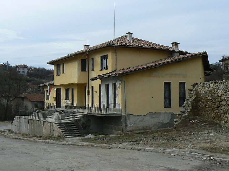
Seykovtsi (Gabrovo Municipality)

Seykovtsi is a village in Gabrovo Municipality, Gabrovo Province, Bulgaria. EKATTE code: 66007. Elevation range: 500–699 m. This profile uses the official National Register of Settlements. View the location on the map and add the settlement to your personal itinerary.

About this place
View location

Map of Bulgaria with a marker for Seymenite (Veliko Tarnovo Municipality)Representative point of the settlement. Overview map; confirm the exact visiting address.LOCATION · BULGARIASeymenite (Veliko Tarnovo Municipality)NRepresentative point of the settlementMap: Global Tour · Outline: Natural Earth

Representative point of the settlement. Overview map; confirm the exact visiting address.

Bulgaria · Veliko Tarnovo

Settlements

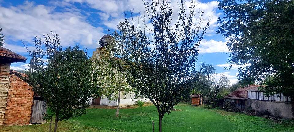
Seymenite (Veliko Tarnovo Municipality)

Seymenite is a village in Veliko Tarnovo Municipality, Veliko Tarnovo Province, Bulgaria. EKATTE code: 66010. Elevation range: 500–699 m. This profile uses the official National Register of Settlements. View the location on the map and add the settlement to your personal itinerary.

About this place
View location

Map of Bulgaria with a marker for Shanovo (Maglizh Municipality)Representative point of the settlement. Overview map; confirm the exact visiting address.LOCATION · BULGARIAShanovo (Maglizh Municipality)NRepresentative point of the settlementMap: Global Tour · Outline: Natural Earth

Representative point of the settlement. Overview map; confirm the exact visiting address.

Bulgaria · Stara Zagora

Settlements

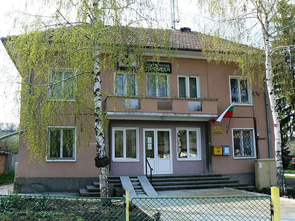
Shanovo (Maglizh Municipality)

Shanovo is a village in Maglizh Municipality, Stara Zagora Province, Bulgaria. EKATTE code: 83020. Elevation range: 200–299 m. This profile uses the official National Register of Settlements. View the location on the map and add the settlement to your personal itinerary.

About this place
View location

Map of Bulgaria with a marker for Sharani (Gabrovo Municipality)Representative point of the settlement. Overview map; confirm the exact visiting address.LOCATION · BULGARIASharani (Gabrovo Municipality)NRepresentative point of the settlementMap: Global Tour · Outline: Natural Earth

Representative point of the settlement. Overview map; confirm the exact visiting address.

Bulgaria · Gabrovo

Settlements

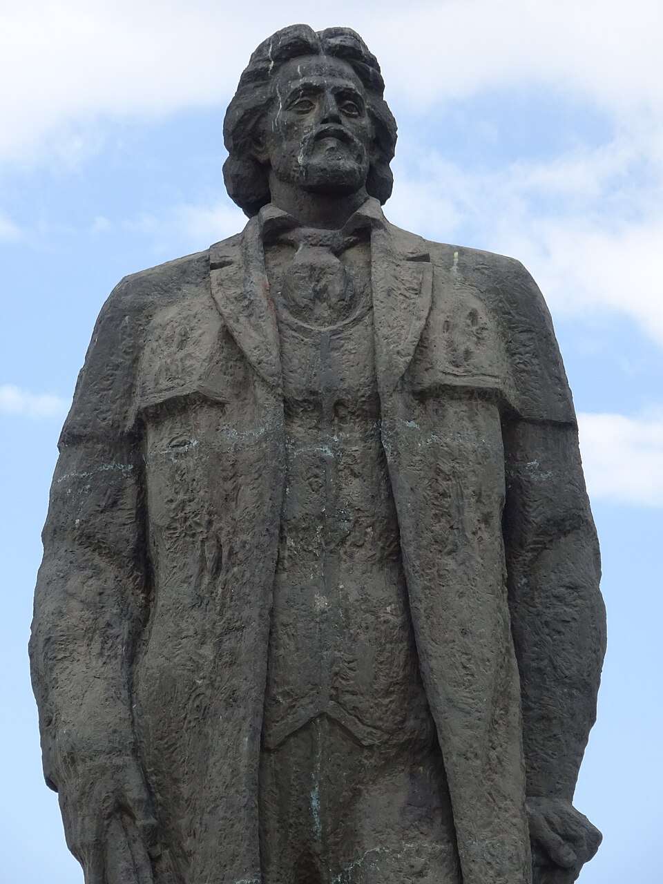
Sharani (Gabrovo Municipality)

Sharani is a village in Gabrovo Municipality, Gabrovo Province, Bulgaria. EKATTE code: 83034. Elevation range: 300–499 m. This profile uses the official National Register of Settlements. View the location on the map and add the settlement to your personal itinerary.

About this place
View location

Map of Bulgaria with a marker for Sharenka Cave — RodopiApproximate area: Madan. Overview map; confirm the exact visiting address.LOCATION · BULGARIASharenka Cave — RodopiNApproximate area: MadanMap: Global Tour · Outline: Natural Earth

Approximate area: Madan. Overview map; confirm the exact visiting address.

Bulgaria · Smolyan

Nature and mountains

Sharenka Cave — Rodopi

Sharenka presents Rhodope mining history through an exhibition inside a natural cave. Ten life-size wax figures and tools recreate miners’ work, connecting the underground setting with the region’s long mining tradition.

About this place
View location

Map of Bulgaria with a marker for Sharenska (Madan Municipality)Representative point of the settlement. Overview map; confirm the exact visiting address.LOCATION · BULGARIASharenska (Madan Municipality)NRepresentative point of the settlementMap: Global Tour · Outline: Natural Earth

Representative point of the settlement. Overview map; confirm the exact visiting address.

Bulgaria · Smolyan

Settlements

Sharenska (Madan Municipality)

Sharenska is a village in Madan Municipality, Smolyan Province, Bulgaria. EKATTE code: 83048. Elevation range: 700–999 m. This profile uses the official National Register of Settlements. View the location on the map and add the settlement to your personal itinerary.

About this place
View location

Map of Bulgaria with a marker for Sharkovo (Bolyarovo Municipality)Representative point of the settlement. Overview map; confirm the exact visiting address.LOCATION · BULGARIASharkovo (Bolyarovo Municipality)NRepresentative point of the settlementMap: Global Tour · Outline: Natural Earth

Representative point of the settlement. Overview map; confirm the exact visiting address.

Bulgaria · Yambol

Settlements

Sharkovo (Bolyarovo Municipality)

Sharkovo is a village in Bolyarovo Municipality, Yambol Province, Bulgaria. EKATTE code: 83051. Elevation range: 300–499 m. This profile uses the official National Register of Settlements. View the location on the map and add the settlement to your personal itinerary.

About this place
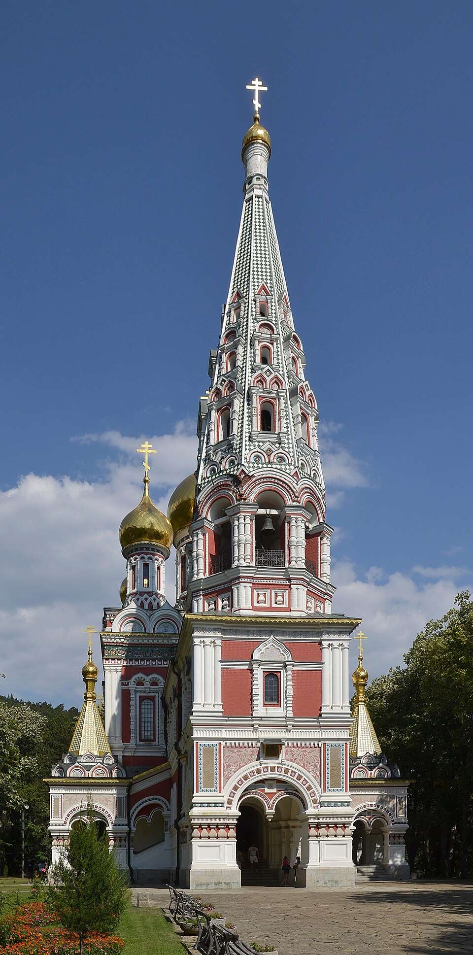
View location

Photograph from Sheremetya (Veliko Tarnovo Municipality)

Photograph from Sheremetya (Veliko Tarnovo Municipality)

Bulgaria · Veliko Tarnovo

Settlements

Sheremetya (Veliko Tarnovo Municipality)

Sheremetya is a village in Veliko Tarnovo Municipality, Veliko Tarnovo Province, Bulgaria. EKATTE code: 83123. Elevation range: 300–499 m. This profile uses the official National Register of Settlements. View the location on the map and add the settlement to your personal itinerary.

About this place

Photo: Vassia Atanassova - Spiritia · CC BY-SA 4.0 · License

View location

Map of Bulgaria with a marker for Shiliveri (Elena Municipality)Representative point of the settlement. Overview map; confirm the exact visiting address.LOCATION · BULGARIAShiliveri (Elena Municipality)NRepresentative point of the settlementMap: Global Tour · Outline: Natural Earth

Representative point of the settlement. Overview map; confirm the exact visiting address.

Bulgaria · Veliko Tarnovo

Settlements

Shiliveri (Elena Municipality)

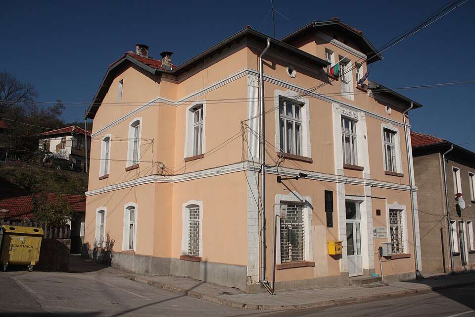
Shiliveri is a village in Elena Municipality, Veliko Tarnovo Province, Bulgaria. EKATTE code: 83168. Elevation range: 500–699 m. This profile uses the official National Register of Settlements. View the location on the map and add the settlement to your personal itinerary.

About this place
View location

Map of Bulgaria with a marker for Shilkovtsi (Elena Municipality)Representative point of the settlement. Overview map; confirm the exact visiting address.LOCATION · BULGARIAShilkovtsi (Elena Municipality)NRepresentative point of the settlementMap: Global Tour · Outline: Natural Earth

Representative point of the settlement. Overview map; confirm the exact visiting address.

Bulgaria · Veliko Tarnovo

Settlements

Shilkovtsi (Elena Municipality)

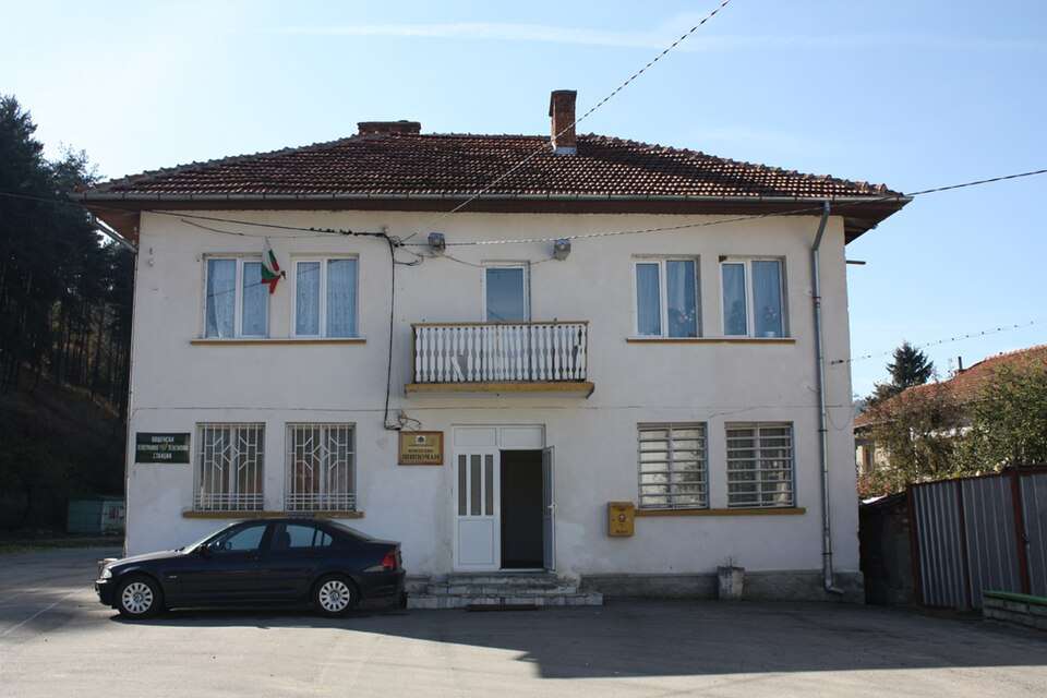
Shilkovtsi is a village in Elena Municipality, Veliko Tarnovo Province, Bulgaria. EKATTE code: 83171. Elevation range: 300–499 m. This profile uses the official National Register of Settlements. View the location on the map and add the settlement to your personal itinerary.

About this place
View location

Map of Bulgaria with a marker for Shipchenite (Gabrovo Municipality)Representative point of the settlement. Overview map; confirm the exact visiting address.LOCATION · BULGARIAShipchenite (Gabrovo Municipality)NRepresentative point of the settlementMap: Global Tour · Outline: Natural Earth

Representative point of the settlement. Overview map; confirm the exact visiting address.

Bulgaria · Gabrovo

Settlements

Shipchenite (Gabrovo Municipality)

Shipchenite is a village in Gabrovo Municipality, Gabrovo Province, Bulgaria. EKATTE code: 83260. Elevation range: 500–699 m. This profile uses the official National Register of Settlements. View the location on the map and add the settlement to your personal itinerary.

About this place
View location

Map of Bulgaria with a marker for Shipikova mahala (Boynitsa Municipality)Representative point of the settlement. Overview map; confirm the exact visiting address.LOCATION · BULGARIAShipikova mahala (Boynitsa Municipality)NRepresentative point of the settlementMap: Global Tour · Outline: Natural Earth

Representative point of the settlement. Overview map; confirm the exact visiting address.

Bulgaria · Vidin

Settlements

Shipikova mahala (Boynitsa Municipality)

Shipikova mahala is a village in Boynitsa Municipality, Vidin Province, Bulgaria. EKATTE code: 83185. Elevation range: 200–299 m. This profile uses the official National Register of Settlements. View the location on the map and add the settlement to your personal itinerary.

About this place
View location

Map of Bulgaria with a marker for Shipkovitsa (Tran Municipality)Representative point of the settlement. Overview map; confirm the exact visiting address.LOCATION · BULGARIAShipkovitsa (Tran Municipality)NRepresentative point of the settlementMap: Global Tour · Outline: Natural Earth

Representative point of the settlement. Overview map; confirm the exact visiting address.

Bulgaria · Pernik

Settlements

Shipkovitsa (Tran Municipality)

Shipkovitsa is a village in Tran Municipality, Pernik Province, Bulgaria. EKATTE code: 83209. Elevation range: ≥ 1000 m. This profile uses the official National Register of Settlements. View the location on the map and add the settlement to your personal itinerary.

About this place
View location

© 2026 Global Tour