Places

Discover the places on our routes — history, nature and landmarks.

The catalogue continues to grow. See the linked source for visit details.

Settlements · 5,256

Places found: 5893 · Showing 4,825–4,848 of 5,893 · Page 202 / 246

Map of Bulgaria with a marker for Staropatitsa (Kula Municipality)Representative point of the settlement. Overview map; confirm the exact visiting address.LOCATION · BULGARIAStaropatitsa (Kula Municipality)NRepresentative point of the settlementMap: Global Tour · Outline: Natural Earth

Representative point of the settlement. Overview map; confirm the exact visiting address.

Bulgaria · Vidin

Settlements

Staropatitsa (Kula Municipality)

Staropatitsa is a village in Kula Municipality, Vidin Province, Bulgaria. EKATTE code: 69002. Elevation range: 200–299 m. This profile uses the official National Register of Settlements. View the location on the map and add the settlement to your personal itinerary.

About this place
View location

Map of Bulgaria with a marker for Staroseltsi (Iskar Municipality)Representative point of the settlement. Overview map; confirm the exact visiting address.LOCATION · BULGARIAStaroseltsi (Iskar Municipality)NRepresentative point of the settlementMap: Global Tour · Outline: Natural Earth

Representative point of the settlement. Overview map; confirm the exact visiting address.

Bulgaria · Pleven

Settlements

Staroseltsi (Iskar Municipality)

Staroseltsi is a village in Iskar Municipality, Pleven Province, Bulgaria. EKATTE code: 69095. Elevation range: 50–99 m. This profile uses the official National Register of Settlements. View the location on the map and add the settlement to your personal itinerary.

About this place
View location

Map of Bulgaria with a marker for Starovo (Kirkovo Municipality)Representative point of the settlement. Overview map; confirm the exact visiting address.LOCATION · BULGARIAStarovo (Kirkovo Municipality)NRepresentative point of the settlementMap: Global Tour · Outline: Natural Earth

Representative point of the settlement. Overview map; confirm the exact visiting address.

Bulgaria · Kardzhali

Settlements

Starovo (Kirkovo Municipality)

Starovo is a village in Kirkovo Municipality, Kardzhali Province, Bulgaria. EKATTE code: 68953. Elevation range: 300–499 m. This profile uses the official National Register of Settlements. View the location on the map and add the settlement to your personal itinerary.

About this place
View location

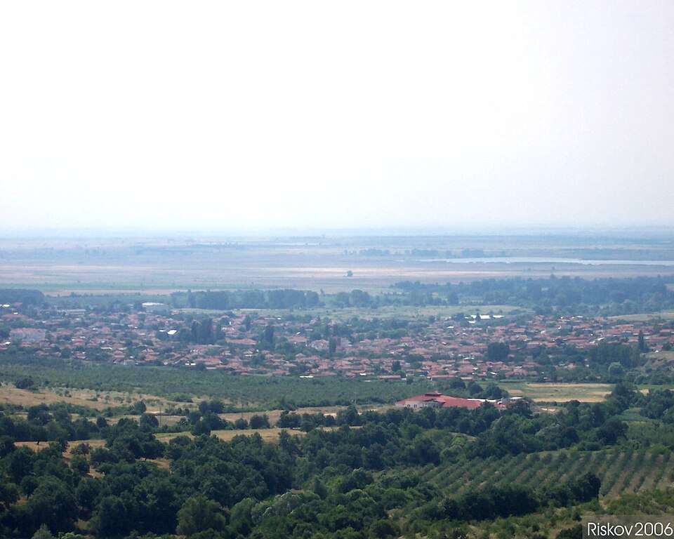
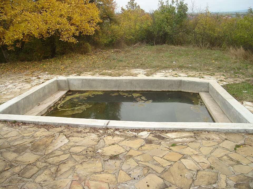
Photograph from Starozagorski bani (Stara Zagora Municipality)

Photograph from Starozagorski bani (Stara Zagora Municipality)

Bulgaria · Stara Zagora

Settlements

Starozagorski bani (Stara Zagora Municipality)

Starozagorski bani is a village in Stara Zagora Municipality, Stara Zagora Province, Bulgaria. EKATTE code: 68970. Elevation range: 200–299 m. This profile uses the official National Register of Settlements. View the location on the map and add the settlement to your personal itinerary.

About this place

Photo: Zlatan.Zlatanov · Public domain · License

View location

Map of Bulgaria with a marker for Staychin dol (Madan Municipality)Representative point of the settlement. Overview map; confirm the exact visiting address.LOCATION · BULGARIAStaychin dol (Madan Municipality)NRepresentative point of the settlementMap: Global Tour · Outline: Natural Earth

Representative point of the settlement. Overview map; confirm the exact visiting address.

Bulgaria · Smolyan

Settlements

Staychin dol (Madan Municipality)

Staychin dol is a village in Madan Municipality, Smolyan Province, Bulgaria. EKATTE code: 68638. Elevation range: 700–999 m. This profile uses the official National Register of Settlements. View the location on the map and add the settlement to your personal itinerary.

About this place
View location

Map of Bulgaria with a marker for Staychovtsi (Tran Municipality)Representative point of the settlement. Overview map; confirm the exact visiting address.LOCATION · BULGARIAStaychovtsi (Tran Municipality)NRepresentative point of the settlementMap: Global Tour · Outline: Natural Earth

Representative point of the settlement. Overview map; confirm the exact visiting address.

Bulgaria · Pernik

Settlements

Staychovtsi (Tran Municipality)

Staychovtsi is a village in Tran Municipality, Pernik Province, Bulgaria. EKATTE code: 68641. Elevation range: 700–999 m. This profile uses the official National Register of Settlements. View the location on the map and add the settlement to your personal itinerary.

About this place
View location

Map of Bulgaria with a marker for Staynovtsi (Tryavna Municipality)Representative point of the settlement. Overview map; confirm the exact visiting address.LOCATION · BULGARIAStaynovtsi (Tryavna Municipality)NRepresentative point of the settlementMap: Global Tour · Outline: Natural Earth

Representative point of the settlement. Overview map; confirm the exact visiting address.

Bulgaria · Gabrovo

Settlements

Staynovtsi (Tryavna Municipality)

Staynovtsi is a village in Tryavna Municipality, Gabrovo Province, Bulgaria. EKATTE code: 68624. Elevation range: 500–699 m. This profile uses the official National Register of Settlements. View the location on the map and add the settlement to your personal itinerary.

About this place
View location

Map of Bulgaria with a marker for Stefan Karadzha (Dobrich-selska Municipality)Representative point of the settlement. Overview map; confirm the exact visiting address.LOCATION · BULGARIAStefan Karadzha (Dobrich-selskaMunicipality)NRepresentative point of the settlementMap: Global Tour · Outline: Natural Earth

Representative point of the settlement. Overview map; confirm the exact visiting address.

Bulgaria · Dobrich

Settlements

Stefan Karadzha (Dobrich-selska Municipality)

Stefan Karadzha is a village in Dobrich-selska Municipality, Dobrich Province, Bulgaria. EKATTE code: 69198. Elevation range: 200–299 m. This profile uses the official National Register of Settlements. View the location on the map and add the settlement to your personal itinerary.

About this place
View location

Map of Bulgaria with a marker for Stefan Karadzha (Glavinitsa Municipality)Representative point of the settlement. Overview map; confirm the exact visiting address.LOCATION · BULGARIAStefan Karadzha (Glavinitsa Municipality)NRepresentative point of the settlementMap: Global Tour · Outline: Natural Earth

Representative point of the settlement. Overview map; confirm the exact visiting address.

Bulgaria · Silistra

Settlements

Stefan Karadzha (Glavinitsa Municipality)

Stefan Karadzha is a village in Glavinitsa Municipality, Silistra Province, Bulgaria. EKATTE code: 69184. Elevation range: 100–199 m. This profile uses the official National Register of Settlements. View the location on the map and add the settlement to your personal itinerary.

About this place
View location

Map of Bulgaria with a marker for Stefan Karadzha (Valchi dol Municipality)Representative point of the settlement. Overview map; confirm the exact visiting address.LOCATION · BULGARIAStefan Karadzha (Valchi dol Municipality)NRepresentative point of the settlementMap: Global Tour · Outline: Natural Earth

Representative point of the settlement. Overview map; confirm the exact visiting address.

Bulgaria · Varna

Settlements

Stefan Karadzha (Valchi dol Municipality)

Stefan Karadzha is a village in Valchi dol Municipality, Varna Province, Bulgaria. EKATTE code: 69170. Elevation range: 200–299 m. This profile uses the official National Register of Settlements. View the location on the map and add the settlement to your personal itinerary.

About this place
View location

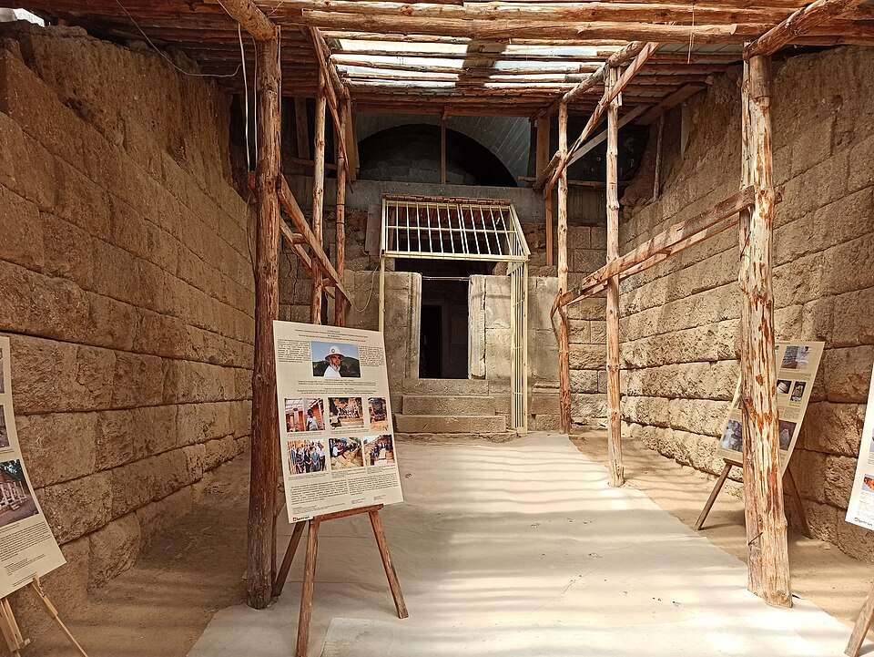
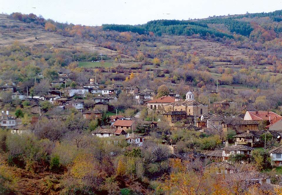
Photograph from Stefan Karadzhovo (Bolyarovo Municipality)

Photograph from Stefan Karadzhovo (Bolyarovo Municipality)

Bulgaria · Yambol

Settlements

Stefan Karadzhovo (Bolyarovo Municipality)

Stefan Karadzhovo is a village in Bolyarovo Municipality, Yambol Province, Bulgaria. EKATTE code: 69208. Elevation range: 200–299 m. This profile uses the official National Register of Settlements. View the location on the map and add the settlement to your personal itinerary.

About this place

Photo: Красимир Ярлийски · CC BY 3.0 · License

View location

Map of Bulgaria with a marker for Stefanovo (Dobrich-selska Municipality)Representative point of the settlement. Overview map; confirm the exact visiting address.LOCATION · BULGARIAStefanovo (Dobrich-selska Municipality)NRepresentative point of the settlementMap: Global Tour · Outline: Natural Earth

Representative point of the settlement. Overview map; confirm the exact visiting address.

Bulgaria · Dobrich

Settlements

Stefanovo (Dobrich-selska Municipality)

Stefanovo is a village in Dobrich-selska Municipality, Dobrich Province, Bulgaria. EKATTE code: 69242. Elevation range: 200–299 m. This profile uses the official National Register of Settlements. View the location on the map and add the settlement to your personal itinerary.

About this place
View location

Map of Bulgaria with a marker for Stefanovo (Gabrovo Municipality)Representative point of the settlement. Overview map; confirm the exact visiting address.LOCATION · BULGARIAStefanovo (Gabrovo Municipality)NRepresentative point of the settlementMap: Global Tour · Outline: Natural Earth

Representative point of the settlement. Overview map; confirm the exact visiting address.

Bulgaria · Gabrovo

Settlements

Stefanovo (Gabrovo Municipality)

Stefanovo is a village in Gabrovo Municipality, Gabrovo Province, Bulgaria. EKATTE code: 69211. Elevation range: 500–699 m. This profile uses the official National Register of Settlements. View the location on the map and add the settlement to your personal itinerary.

About this place
View location

© 2026 Global Tour