Places

Discover the places on our routes — history, nature and landmarks.

The catalogue continues to grow. See the linked source for visit details.

Settlements · 5,256

Places found: 5893 · Showing 1,177–1,200 of 5,893 · Page 50 / 246

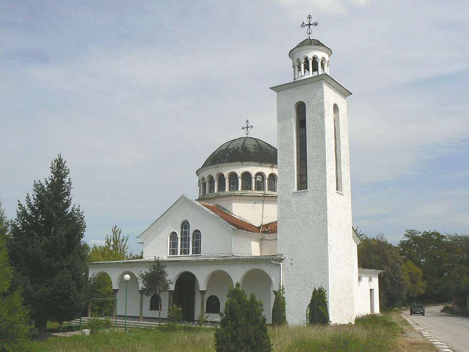
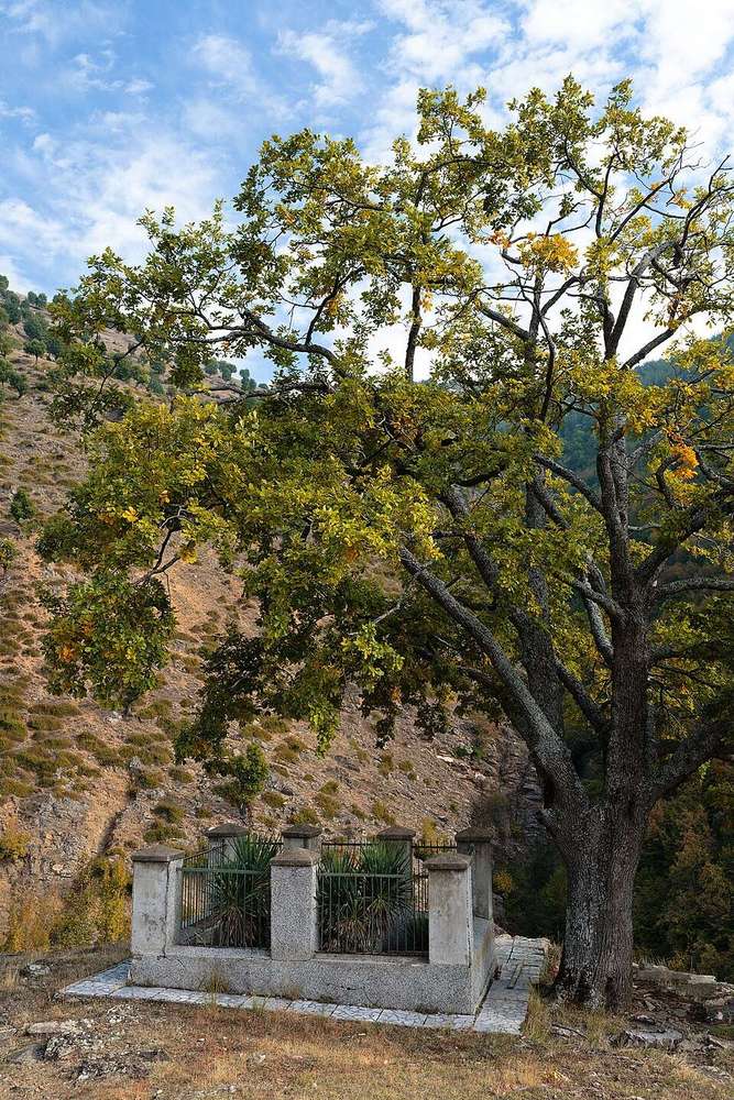
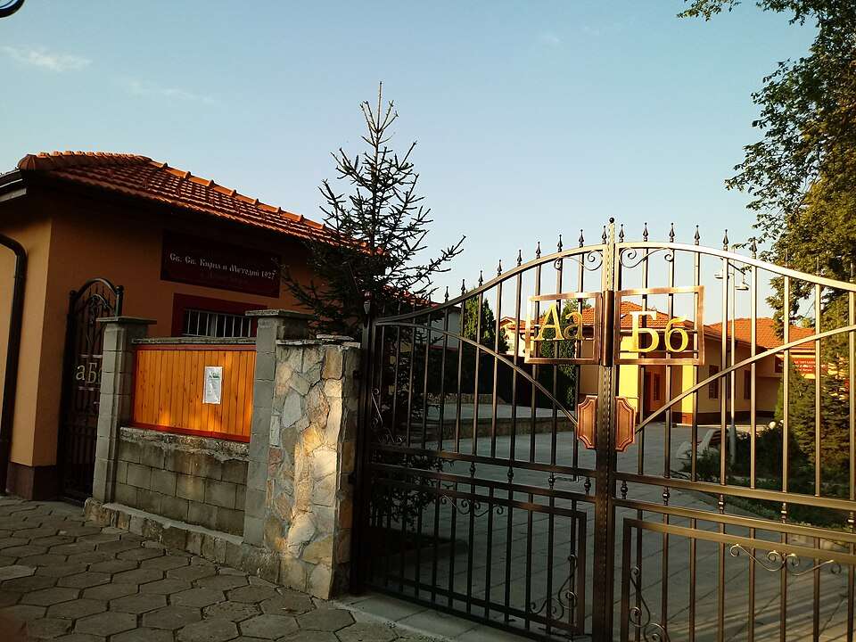
Photograph from Dolna Oryahovitsa (Gorna Oryahovitsa Municipality)

Photograph from Dolna Oryahovitsa (Gorna Oryahovitsa Municipality)

Bulgaria · Veliko Tarnovo

Settlements

Dolna Oryahovitsa (Gorna Oryahovitsa Municipality)

Dolna Oryahovitsa is a city in Gorna Oryahovitsa Municipality, Veliko Tarnovo Province, Bulgaria. EKATTE code: 22232. Elevation range: 100–199 m. This profile uses the official National Register of Settlements. View the location on the map and add the settlement to your personal itinerary.

About this place

Photo: Lz2do · CC BY-SA 3.0 · License

View location
Map of Bulgaria with a marker for Dolna Riksa (Montana Municipality)Representative point of the settlement. Overview map; confirm the exact visiting address.LOCATION · BULGARIADolna Riksa (Montana Municipality)NRepresentative point of the settlementMap: Global Tour · Outline: Natural Earth

Representative point of the settlement. Overview map; confirm the exact visiting address.

Bulgaria · Montana

Settlements

Dolna Riksa (Montana Municipality)

Dolna Riksa is a village in Montana Municipality, Montana Province, Bulgaria. EKATTE code: 22250. Elevation range: 200–299 m. This profile uses the official National Register of Settlements. View the location on the map and add the settlement to your personal itinerary.

About this place
View location

Map of Bulgaria with a marker for Dolna Sekirna (Breznik Municipality)Representative point of the settlement. Overview map; confirm the exact visiting address.LOCATION · BULGARIADolna Sekirna (Breznik Municipality)NRepresentative point of the settlementMap: Global Tour · Outline: Natural Earth

Representative point of the settlement. Overview map; confirm the exact visiting address.

Bulgaria · Pernik

Settlements

Dolna Sekirna (Breznik Municipality)

Dolna Sekirna is a village in Breznik Municipality, Pernik Province, Bulgaria. EKATTE code: 22263. Elevation range: 700–999 m. This profile uses the official National Register of Settlements. View the location on the map and add the settlement to your personal itinerary.

About this place
View location

Map of Bulgaria with a marker for Dolna Studena (Tsenovo Municipality)Representative point of the settlement. Overview map; confirm the exact visiting address.LOCATION · BULGARIADolna Studena (Tsenovo Municipality)NRepresentative point of the settlementMap: Global Tour · Outline: Natural Earth

Representative point of the settlement. Overview map; confirm the exact visiting address.

Bulgaria · Ruse

Settlements

Dolna Studena (Tsenovo Municipality)

Dolna Studena is a village in Tsenovo Municipality, Ruse Province, Bulgaria. EKATTE code: 22277. Elevation range: 0–49 m. This profile uses the official National Register of Settlements. View the location on the map and add the settlement to your personal itinerary.

About this place
View location

Map of Bulgaria with a marker for Dolna Vasilitsa (Kostenets Municipality)Representative point of the settlement. Overview map; confirm the exact visiting address.LOCATION · BULGARIADolna Vasilitsa (Kostenets Municipality)NRepresentative point of the settlementMap: Global Tour · Outline: Natural Earth

Representative point of the settlement. Overview map; confirm the exact visiting address.

Bulgaria · Sofia Province

Settlements

Dolna Vasilitsa (Kostenets Municipality)

Dolna Vasilitsa is a village in Kostenets Municipality, Sofia Province Province, Bulgaria. EKATTE code: 24894. Elevation range: 700–999 m. This profile uses the official National Register of Settlements. View the location on the map and add the settlement to your personal itinerary.

About this place
View location

Map of Bulgaria with a marker for Dolna Verenitsa (Montana Municipality)Representative point of the settlement. Overview map; confirm the exact visiting address.LOCATION · BULGARIADolna Verenitsa (Montana Municipality)NRepresentative point of the settlementMap: Global Tour · Outline: Natural Earth

Representative point of the settlement. Overview map; confirm the exact visiting address.

Bulgaria · Montana

Settlements

Dolna Verenitsa (Montana Municipality)

Dolna Verenitsa is a village in Montana Municipality, Montana Province, Bulgaria. EKATTE code: 22040. Elevation range: 200–299 m. This profile uses the official National Register of Settlements. View the location on the map and add the settlement to your personal itinerary.

About this place
View location

Map of Bulgaria with a marker for Dolna Vrabcha (Zemen Municipality)Representative point of the settlement. Overview map; confirm the exact visiting address.LOCATION · BULGARIADolna Vrabcha (Zemen Municipality)NRepresentative point of the settlementMap: Global Tour · Outline: Natural Earth

Representative point of the settlement. Overview map; confirm the exact visiting address.

Bulgaria · Pernik

Settlements

Dolna Vrabcha (Zemen Municipality)

Dolna Vrabcha is a village in Zemen Municipality, Pernik Province, Bulgaria. EKATTE code: 22054. Elevation range: 700–999 m. This profile uses the official National Register of Settlements. View the location on the map and add the settlement to your personal itinerary.

About this place
View location

Map of Bulgaria with a marker for Dolna Zlatitsa (Antonovo Municipality)Representative point of the settlement. Overview map; confirm the exact visiting address.LOCATION · BULGARIADolna Zlatitsa (Antonovo Municipality)NRepresentative point of the settlementMap: Global Tour · Outline: Natural Earth

Representative point of the settlement. Overview map; confirm the exact visiting address.

Bulgaria · Targovishte

Settlements

Dolna Zlatitsa (Antonovo Municipality)

Dolna Zlatitsa is a village in Antonovo Municipality, Targovishte Province, Bulgaria. EKATTE code: 22099. Elevation range: 300–499 m. This profile uses the official National Register of Settlements. View the location on the map and add the settlement to your personal itinerary.

About this place
View location

Map of Bulgaria with a marker for Dolni Boshnyak (Vidin Municipality)Representative point of the settlement. Overview map; confirm the exact visiting address.LOCATION · BULGARIADolni Boshnyak (Vidin Municipality)NRepresentative point of the settlementMap: Global Tour · Outline: Natural Earth

Representative point of the settlement. Overview map; confirm the exact visiting address.

Bulgaria · Vidin

Settlements

Dolni Boshnyak (Vidin Municipality)

Dolni Boshnyak is a village in Vidin Municipality, Vidin Province, Bulgaria. EKATTE code: 22318. Elevation range: 50–99 m. This profile uses the official National Register of Settlements. View the location on the map and add the settlement to your personal itinerary.

About this place
View location

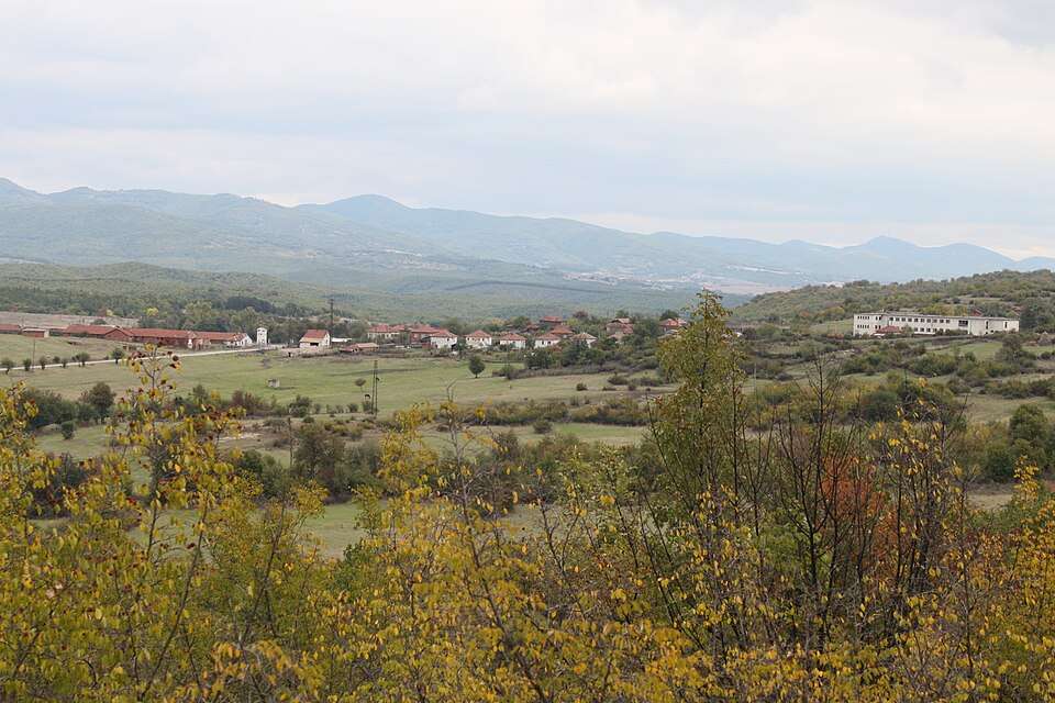
Historical photograph of Dolni chiflik (Dolni chiflik Municipality)

Historical photograph of Dolni chiflik (Dolni chiflik Municipality)

Bulgaria · Varna

Settlements

Dolni chiflik (Dolni chiflik Municipality)

Dolni chiflik is a city in Dolni chiflik Municipality, Varna Province, Bulgaria. EKATTE code: 21912. Elevation range: 0–49 m. Municipal centre. This profile uses the official National Register of Settlements. View the location on the map and add the settlement to your personal itinerary.

About this place

Photo: Unknown author Unknown author · Public domain · License

View location

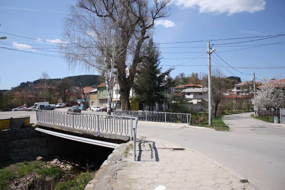
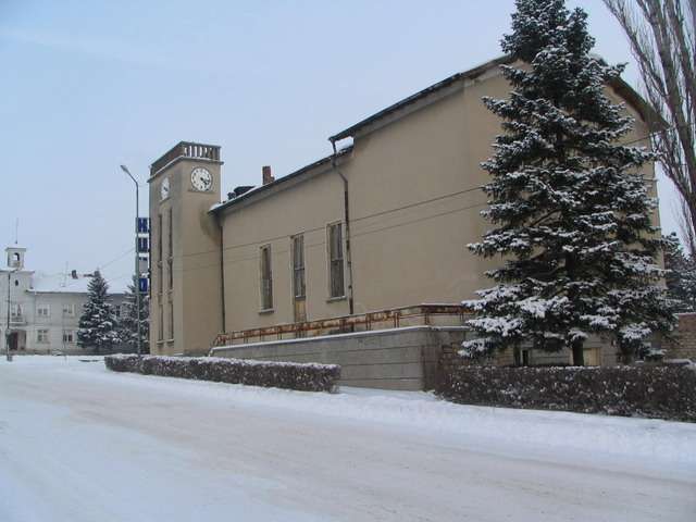
Photograph from Dolni Dabnik (Dolni Dabnik Municipality)

Photograph from Dolni Dabnik (Dolni Dabnik Municipality)

Bulgaria · Pleven

Settlements

Dolni Dabnik (Dolni Dabnik Municipality)

Dolni Dabnik is a city in Dolni Dabnik Municipality, Pleven Province, Bulgaria. EKATTE code: 22407. Elevation range: 50–99 m. Municipal centre. This profile uses the official National Register of Settlements. View the location on the map and add the settlement to your personal itinerary.

About this place

Photo: Vassia Atanassova - Spiritia · Public domain · License

View location

Map of Bulgaria with a marker for Dolni Damyanovtsi (Veliko Tarnovo Municipality)Representative point of the settlement. Overview map; confirm the exact visiting address.LOCATION · BULGARIADolni Damyanovtsi (Veliko TarnovoMunicipality)NRepresentative point of the settlementMap: Global Tour · Outline: Natural Earth

Representative point of the settlement. Overview map; confirm the exact visiting address.

Bulgaria · Veliko Tarnovo

Settlements

Dolni Damyanovtsi (Veliko Tarnovo Municipality)

Dolni Damyanovtsi is a village in Veliko Tarnovo Municipality, Veliko Tarnovo Province, Bulgaria. EKATTE code: 22383. Elevation range: 500–699 m. This profile uses the official National Register of Settlements. View the location on the map and add the settlement to your personal itinerary.

About this place
View location

Map of Bulgaria with a marker for Dolni Dragoycha (Dryanovo Municipality)Representative point of the settlement. Overview map; confirm the exact visiting address.LOCATION · BULGARIADolni Dragoycha (Dryanovo Municipality)NRepresentative point of the settlementMap: Global Tour · Outline: Natural Earth

Representative point of the settlement. Overview map; confirm the exact visiting address.

Bulgaria · Gabrovo

Settlements

Dolni Dragoycha (Dryanovo Municipality)

Dolni Dragoycha is a village in Dryanovo Municipality, Gabrovo Province, Bulgaria. EKATTE code: 22397. Elevation range: 300–499 m. This profile uses the official National Register of Settlements. View the location on the map and add the settlement to your personal itinerary.

About this place
View location

Map of Bulgaria with a marker for Dolni Koriten (Treklyano Municipality)Representative point of the settlement. Overview map; confirm the exact visiting address.LOCATION · BULGARIADolni Koriten (Treklyano Municipality)NRepresentative point of the settlementMap: Global Tour · Outline: Natural Earth

Representative point of the settlement. Overview map; confirm the exact visiting address.

Bulgaria · Kyustendil

Settlements

Dolni Koriten (Treklyano Municipality)

Dolni Koriten is a village in Treklyano Municipality, Kyustendil Province, Bulgaria. EKATTE code: 22410. Elevation range: 700–999 m. This profile uses the official National Register of Settlements. View the location on the map and add the settlement to your personal itinerary.

About this place
View location

Map of Bulgaria with a marker for Dolni Lom (Chuprene Municipality)Representative point of the settlement. Overview map; confirm the exact visiting address.LOCATION · BULGARIADolni Lom (Chuprene Municipality)NRepresentative point of the settlementMap: Global Tour · Outline: Natural Earth

Representative point of the settlement. Overview map; confirm the exact visiting address.

Bulgaria · Vidin

Settlements

Dolni Lom (Chuprene Municipality)

Dolni Lom is a village in Chuprene Municipality, Vidin Province, Bulgaria. EKATTE code: 22424. Elevation range: 300–499 m. This profile uses the official National Register of Settlements. View the location on the map and add the settlement to your personal itinerary.

About this place
View location

Map of Bulgaria with a marker for Dolni Lukovit (Iskar Municipality)Representative point of the settlement. Overview map; confirm the exact visiting address.LOCATION · BULGARIADolni Lukovit (Iskar Municipality)NRepresentative point of the settlementMap: Global Tour · Outline: Natural Earth

Representative point of the settlement. Overview map; confirm the exact visiting address.

Bulgaria · Pleven

Settlements

Dolni Lukovit (Iskar Municipality)

Dolni Lukovit is a village in Iskar Municipality, Pleven Province, Bulgaria. EKATTE code: 22438. Elevation range: 50–99 m. This profile uses the official National Register of Settlements. View the location on the map and add the settlement to your personal itinerary.

About this place
View location

Map of Bulgaria with a marker for Dolni Marentsi (Tryavna Municipality)Representative point of the settlement. Overview map; confirm the exact visiting address.LOCATION · BULGARIADolni Marentsi (Tryavna Municipality)NRepresentative point of the settlementMap: Global Tour · Outline: Natural Earth

Representative point of the settlement. Overview map; confirm the exact visiting address.

Bulgaria · Gabrovo

Settlements

Dolni Marentsi (Tryavna Municipality)

Dolni Marentsi is a village in Tryavna Municipality, Gabrovo Province, Bulgaria. EKATTE code: 22441. Elevation range: 500–699 m. This profile uses the official National Register of Settlements. View the location on the map and add the settlement to your personal itinerary.

About this place
View location

Map of Bulgaria with a marker for Dolni Maryan (Elena Municipality)Representative point of the settlement. Overview map; confirm the exact visiting address.LOCATION · BULGARIADolni Maryan (Elena Municipality)NRepresentative point of the settlementMap: Global Tour · Outline: Natural Earth

Representative point of the settlement. Overview map; confirm the exact visiting address.

Bulgaria · Veliko Tarnovo

Settlements

Dolni Maryan (Elena Municipality)

Dolni Maryan is a village in Elena Municipality, Veliko Tarnovo Province, Bulgaria. EKATTE code: 22455. Elevation range: 200–299 m. This profile uses the official National Register of Settlements. View the location on the map and add the settlement to your personal itinerary.

About this place
View location

Map of Bulgaria with a marker for Dolni Radkovtsi (Tryavna Municipality)Representative point of the settlement. Overview map; confirm the exact visiting address.LOCATION · BULGARIADolni Radkovtsi (Tryavna Municipality)NRepresentative point of the settlementMap: Global Tour · Outline: Natural Earth

Representative point of the settlement. Overview map; confirm the exact visiting address.

Bulgaria · Gabrovo

Settlements

Dolni Radkovtsi (Tryavna Municipality)

Dolni Radkovtsi is a village in Tryavna Municipality, Gabrovo Province, Bulgaria. EKATTE code: 22486. Elevation range: 700–999 m. This profile uses the official National Register of Settlements. View the location on the map and add the settlement to your personal itinerary.

About this place
View location

© 2026 Global Tour