Places

Discover the places on our routes — history, nature and landmarks.

The catalogue continues to grow. See the linked source for visit details.

Settlements · 5,256

Places found: 5893 · Showing 2,353–2,376 of 5,893 · Page 99 / 246

Map of Bulgaria with a marker for Kiselevo (Brusartsi Municipality)Representative point of the settlement. Overview map; confirm the exact visiting address.LOCATION · BULGARIAKiselevo (Brusartsi Municipality)NRepresentative point of the settlementMap: Global Tour · Outline: Natural Earth

Representative point of the settlement. Overview map; confirm the exact visiting address.

Bulgaria · Montana

Settlements

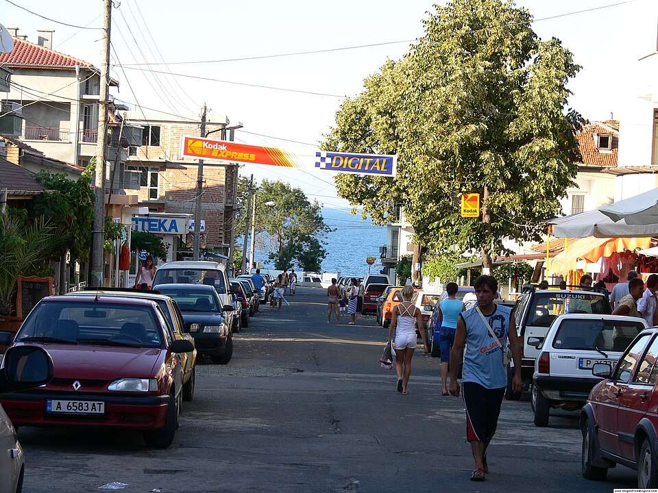
Kiselevo (Brusartsi Municipality)

Kiselevo is a village in Brusartsi Municipality, Montana Province, Bulgaria. EKATTE code: 36957. Elevation range: 100–199 m. This profile uses the official National Register of Settlements. View the location on the map and add the settlement to your personal itinerary.

About this place
View location

Map of Bulgaria with a marker for Kiselitsa (Treklyano Municipality)Representative point of the settlement. Overview map; confirm the exact visiting address.LOCATION · BULGARIAKiselitsa (Treklyano Municipality)NRepresentative point of the settlementMap: Global Tour · Outline: Natural Earth

Representative point of the settlement. Overview map; confirm the exact visiting address.

Bulgaria · Kyustendil

Settlements

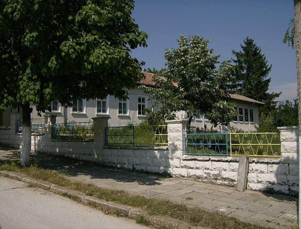
Kiselitsa (Treklyano Municipality)

Kiselitsa is a village in Treklyano Municipality, Kyustendil Province, Bulgaria. EKATTE code: 36960. Elevation range: 700–999 m. This profile uses the official National Register of Settlements. View the location on the map and add the settlement to your personal itinerary.

About this place
View location

Map of Bulgaria with a marker for Kiselkovtsi (Tryavna Municipality)Representative point of the settlement. Overview map; confirm the exact visiting address.LOCATION · BULGARIAKiselkovtsi (Tryavna Municipality)NRepresentative point of the settlementMap: Global Tour · Outline: Natural Earth

Representative point of the settlement. Overview map; confirm the exact visiting address.

Bulgaria · Gabrovo

Settlements

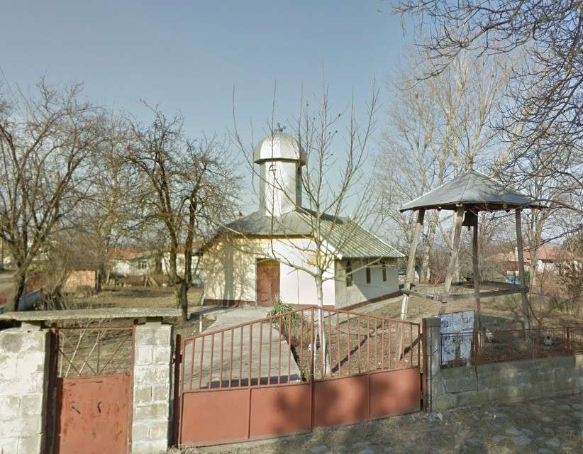
Kiselkovtsi (Tryavna Municipality)

Kiselkovtsi is a village in Tryavna Municipality, Gabrovo Province, Bulgaria. EKATTE code: 36988. Elevation range: 500–699 m. This profile uses the official National Register of Settlements. View the location on the map and add the settlement to your personal itinerary.

About this place
View location

Map of Bulgaria with a marker for Kisiytsite (Tryavna Municipality)Representative point of the settlement. Overview map; confirm the exact visiting address.LOCATION · BULGARIAKisiytsite (Tryavna Municipality)NRepresentative point of the settlementMap: Global Tour · Outline: Natural Earth

Representative point of the settlement. Overview map; confirm the exact visiting address.

Bulgaria · Gabrovo

Settlements

Kisiytsite (Tryavna Municipality)

Kisiytsite is a village in Tryavna Municipality, Gabrovo Province, Bulgaria. EKATTE code: 36991. Elevation range: 500–699 m. This profile uses the official National Register of Settlements. View the location on the map and add the settlement to your personal itinerary.

About this place
View location

Map of Bulgaria with a marker for Kisyovtsi (Veliko Tarnovo Municipality)Representative point of the settlement. Overview map; confirm the exact visiting address.LOCATION · BULGARIAKisyovtsi (Veliko Tarnovo Municipality)NRepresentative point of the settlementMap: Global Tour · Outline: Natural Earth

Representative point of the settlement. Overview map; confirm the exact visiting address.

Bulgaria · Veliko Tarnovo

Settlements

Kisyovtsi (Veliko Tarnovo Municipality)

Kisyovtsi is a village in Veliko Tarnovo Municipality, Veliko Tarnovo Province, Bulgaria. EKATTE code: 37006. Elevation range: 300–499 m. This profile uses the official National Register of Settlements. View the location on the map and add the settlement to your personal itinerary.

About this place
View location

Map of Bulgaria with a marker for Kitanchevo (Isperih Municipality)Representative point of the settlement. Overview map; confirm the exact visiting address.LOCATION · BULGARIAKitanchevo (Isperih Municipality)NRepresentative point of the settlementMap: Global Tour · Outline: Natural Earth

Representative point of the settlement. Overview map; confirm the exact visiting address.

Bulgaria · Razgrad

Settlements

Kitanchevo (Isperih Municipality)

Kitanchevo is a village in Isperih Municipality, Razgrad Province, Bulgaria. EKATTE code: 37010. Elevation range: 200–299 m. This profile uses the official National Register of Settlements. View the location on the map and add the settlement to your personal itinerary.

About this place
View location

Map of Bulgaria with a marker for Kiten (Provadia Municipality)Representative point of the settlement. Overview map; confirm the exact visiting address.LOCATION · BULGARIAKiten (Provadia Municipality)NRepresentative point of the settlementMap: Global Tour · Outline: Natural Earth

Representative point of the settlement. Overview map; confirm the exact visiting address.

Bulgaria · Varna

Settlements

Kiten (Provadia Municipality)

Kiten is a village in Provadia Municipality, Varna Province, Bulgaria. EKATTE code: 37037. Elevation range: 100–199 m. This profile uses the official National Register of Settlements. View the location on the map and add the settlement to your personal itinerary.

About this place
View location

Map of Bulgaria with a marker for Kitino (Antonovo Municipality)Representative point of the settlement. Overview map; confirm the exact visiting address.LOCATION · BULGARIAKitino (Antonovo Municipality)NRepresentative point of the settlementMap: Global Tour · Outline: Natural Earth

Representative point of the settlement. Overview map; confirm the exact visiting address.

Bulgaria · Targovishte

Settlements

Kitino (Antonovo Municipality)

Kitino is a village in Antonovo Municipality, Targovishte Province, Bulgaria. EKATTE code: 37040. Elevation range: 300–499 m. This profile uses the official National Register of Settlements. View the location on the map and add the settlement to your personal itinerary.

About this place
View location

Map of Bulgaria with a marker for Kitka (Avren Municipality)Representative point of the settlement. Overview map; confirm the exact visiting address.LOCATION · BULGARIAKitka (Avren Municipality)NRepresentative point of the settlementMap: Global Tour · Outline: Natural Earth

Representative point of the settlement. Overview map; confirm the exact visiting address.

Bulgaria · Varna

Settlements

Kitka (Avren Municipality)

Kitka is a village in Avren Municipality, Varna Province, Bulgaria. EKATTE code: 37068. Elevation range: 100–199 m. This profile uses the official National Register of Settlements. View the location on the map and add the settlement to your personal itinerary.

About this place
View location

Map of Bulgaria with a marker for Kitna (Kirkovo Municipality)Representative point of the settlement. Overview map; confirm the exact visiting address.LOCATION · BULGARIAKitna (Kirkovo Municipality)NRepresentative point of the settlementMap: Global Tour · Outline: Natural Earth

Representative point of the settlement. Overview map; confirm the exact visiting address.

Bulgaria · Kardzhali

Settlements

Kitna (Kirkovo Municipality)

Kitna is a village in Kirkovo Municipality, Kardzhali Province, Bulgaria. EKATTE code: 37071. Elevation range: 300–499 m. This profile uses the official National Register of Settlements. View the location on the map and add the settlement to your personal itinerary.

About this place
View location

Map of Bulgaria with a marker for Kitnitsa (Ardino Municipality)Representative point of the settlement. Overview map; confirm the exact visiting address.LOCATION · BULGARIAKitnitsa (Ardino Municipality)NRepresentative point of the settlementMap: Global Tour · Outline: Natural Earth

Representative point of the settlement. Overview map; confirm the exact visiting address.

Bulgaria · Kardzhali

Settlements

Kitnitsa (Ardino Municipality)

Kitnitsa is a village in Ardino Municipality, Kardzhali Province, Bulgaria. EKATTE code: 37085. Elevation range: 300–499 m. This profile uses the official National Register of Settlements. View the location on the map and add the settlement to your personal itinerary.

About this place
View location

Map of Bulgaria with a marker for Kladenets (Stambolovo Municipality)Representative point of the settlement. Overview map; confirm the exact visiting address.LOCATION · BULGARIAKladenets (Stambolovo Municipality)NRepresentative point of the settlementMap: Global Tour · Outline: Natural Earth

Representative point of the settlement. Overview map; confirm the exact visiting address.

Bulgaria · Haskovo

Settlements

Kladenets (Stambolovo Municipality)

Kladenets is a village in Stambolovo Municipality, Haskovo Province, Bulgaria. EKATTE code: 37126. Elevation range: 300–499 m. This profile uses the official National Register of Settlements. View the location on the map and add the settlement to your personal itinerary.

About this place
View location

Map of Bulgaria with a marker for Kladentsi (Petrich Municipality)Representative point of the settlement. Overview map; confirm the exact visiting address.LOCATION · BULGARIAKladentsi (Petrich Municipality)NRepresentative point of the settlementMap: Global Tour · Outline: Natural Earth

Representative point of the settlement. Overview map; confirm the exact visiting address.

Bulgaria · Blagoevgrad

Settlements

Kladentsi (Petrich Municipality)

Kladentsi is a village in Petrich Municipality, Blagoevgrad Province, Bulgaria. EKATTE code: 37143. Elevation range: 300–499 m. This profile uses the official National Register of Settlements. View the location on the map and add the settlement to your personal itinerary.

About this place
View location

Photograph from Kladni dyal (Veliko Tarnovo Municipality)

Photograph from Kladni dyal (Veliko Tarnovo Municipality)

Bulgaria · Veliko Tarnovo

Settlements

Kladni dyal (Veliko Tarnovo Municipality)

Kladni dyal is a village in Veliko Tarnovo Municipality, Veliko Tarnovo Province, Bulgaria. EKATTE code: 37160. Elevation range: 500–699 m. This profile uses the official National Register of Settlements. View the location on the map and add the settlement to your personal itinerary.

About this place

Photo: Mitaka at Bulgarian Wikipedia · Public domain · License

View location

Map of Bulgaria with a marker for Kladnitsa (Pernik Municipality)Representative point of the settlement. Overview map; confirm the exact visiting address.LOCATION · BULGARIAKladnitsa (Pernik Municipality)NRepresentative point of the settlementMap: Global Tour · Outline: Natural Earth

Representative point of the settlement. Overview map; confirm the exact visiting address.

Bulgaria · Pernik

Settlements

Kladnitsa (Pernik Municipality)

Kladnitsa is a village in Pernik Municipality, Pernik Province, Bulgaria. EKATTE code: 37174. Elevation range: 700–999 m. This profile uses the official National Register of Settlements. View the location on the map and add the settlement to your personal itinerary.

About this place
View location

Map of Bulgaria with a marker for Kladorub (Dimovo Municipality)Representative point of the settlement. Overview map; confirm the exact visiting address.LOCATION · BULGARIAKladorub (Dimovo Municipality)NRepresentative point of the settlementMap: Global Tour · Outline: Natural Earth

Representative point of the settlement. Overview map; confirm the exact visiting address.

Bulgaria · Vidin

Settlements

Kladorub (Dimovo Municipality)

Kladorub is a village in Dimovo Municipality, Vidin Province, Bulgaria. EKATTE code: 37188. Elevation range: 100–199 m. This profile uses the official National Register of Settlements. View the location on the map and add the settlement to your personal itinerary.

About this place
View location

Map of Bulgaria with a marker for Klashka reka (Veliko Tarnovo Municipality)Representative point of the settlement. Overview map; confirm the exact visiting address.LOCATION · BULGARIAKlashka reka (Veliko Tarnovo Municipality)NRepresentative point of the settlementMap: Global Tour · Outline: Natural Earth

Representative point of the settlement. Overview map; confirm the exact visiting address.

Bulgaria · Veliko Tarnovo

Settlements

Klashka reka (Veliko Tarnovo Municipality)

Klashka reka is a village in Veliko Tarnovo Municipality, Veliko Tarnovo Province, Bulgaria. EKATTE code: 37335. Elevation range: 300–499 m. This profile uses the official National Register of Settlements. View the location on the map and add the settlement to your personal itinerary.

About this place
View location

Map of Bulgaria with a marker for Klenovik (Radomir Municipality)Representative point of the settlement. Overview map; confirm the exact visiting address.LOCATION · BULGARIAKlenovik (Radomir Municipality)NRepresentative point of the settlementMap: Global Tour · Outline: Natural Earth

Representative point of the settlement. Overview map; confirm the exact visiting address.

Bulgaria · Pernik

Settlements

Klenovik (Radomir Municipality)

Klenovik is a village in Radomir Municipality, Pernik Province, Bulgaria. EKATTE code: 41232. Elevation range: 500–699 m. This profile uses the official National Register of Settlements. View the location on the map and add the settlement to your personal itinerary.

About this place
View location

Map of Bulgaria with a marker for Klepalo (Strumyani Municipality)Representative point of the settlement. Overview map; confirm the exact visiting address.LOCATION · BULGARIAKlepalo (Strumyani Municipality)NRepresentative point of the settlementMap: Global Tour · Outline: Natural Earth

Representative point of the settlement. Overview map; confirm the exact visiting address.

Bulgaria · Blagoevgrad

Settlements

Klepalo (Strumyani Municipality)

Klepalo is a village in Strumyani Municipality, Blagoevgrad Province, Bulgaria. EKATTE code: 37191. Elevation range: ≥ 1000 m. This profile uses the official National Register of Settlements. View the location on the map and add the settlement to your personal itinerary.

About this place
View location

Map of Bulgaria with a marker for Klikach (Karnobat Municipality)Representative point of the settlement. Overview map; confirm the exact visiting address.LOCATION · BULGARIAKlikach (Karnobat Municipality)NRepresentative point of the settlementMap: Global Tour · Outline: Natural Earth

Representative point of the settlement. Overview map; confirm the exact visiting address.

Bulgaria · Burgas

Settlements

Klikach (Karnobat Municipality)

Klikach is a village in Karnobat Municipality, Burgas Province, Bulgaria. EKATTE code: 37201. Elevation range: 100–199 m. This profile uses the official National Register of Settlements. View the location on the map and add the settlement to your personal itinerary.

About this place
View location

© 2026 Global Tour