Representative point of the settlement. Overview map; confirm the exact visiting address.
保加利亚 · 斯莫梁州
居民点
Kochani(Nedelino 市镇)
Kochani 是保加利亚斯莫梁州 Nedelino 市镇的一处村庄。 EKATTE 代码:39092。海拔范围:500–699 米。 本资料依据官方《全国居民点登记册》编写。您可以在地图上查看位置,并将此地加入个人旅行路线。
查看详情
探索旅行路线上的自然景观、历史遗迹和文化景点。
景点目录持续更新。参观详情请查看景点页面中的来源链接。
保加利亚居民点 · 5,256找到景点: 5893 · 显示第 2,401–2,424 项,共 5,893 · 页 101 / 246
Representative point of the settlement. Overview map; confirm the exact visiting address.
保加利亚 · 斯莫梁州
居民点
Kochani 是保加利亚斯莫梁州 Nedelino 市镇的一处村庄。 EKATTE 代码:39092。海拔范围:500–699 米。 本资料依据官方《全国居民点登记册》编写。您可以在地图上查看位置,并将此地加入个人旅行路线。
查看详情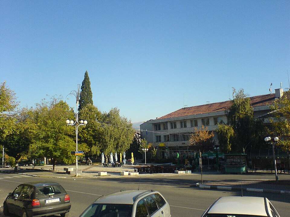
科切里诺沃(Kocherinovo,Kocherinovo 市镇)的照片
保加利亚 · 丘斯滕迪尔州
居民点
科切里诺沃是保加利亚丘斯滕迪尔州 Kocherinovo 市镇的一处城市。 EKATTE 代码:39116。海拔范围:300–499 米。该地是市镇行政中心。 本资料依据官方《全国居民点登记册》编写。您可以在地图上查看位置,并将此地加入个人旅行路线。
查看详情图片来源: Biso · Public domain · 许可协议
查看位置Representative point of the settlement. Overview map; confirm the exact visiting address.
保加利亚 · 普罗夫迪夫州
居民点
科切沃是保加利亚普罗夫迪夫州 Sadovo 市镇的一处村庄。 EKATTE 代码:39102。海拔范围:100–199 米。 本资料依据官方《全国居民点登记册》编写。您可以在地图上查看位置,并将此地加入个人旅行路线。
查看详情Representative point of the settlement. Overview map; confirm the exact visiting address.
保加利亚 · 多布里奇州
居民点
Kochmar 是保加利亚多布里奇州 Tervel 市镇的一处村庄。 EKATTE 代码:39127。海拔范围:200–299 米。 本资料依据官方《全国居民点登记册》编写。您可以在地图上查看位置,并将此地加入个人旅行路线。
查看详情Representative point of the settlement. Overview map; confirm the exact visiting address.
保加利亚 · 舒门州
居民点
科乔沃是保加利亚舒门州 Veliki Preslav 市镇的一处村庄。 EKATTE 代码:39133。海拔范围:100–199 米。 本资料依据官方《全国居民点登记册》编写。您可以在地图上查看位置,并将此地加入个人旅行路线。
查看详情Representative point of the settlement. Overview map; confirm the exact visiting address.
保加利亚 · 大特尔诺沃州
居民点
Koevtsi 是保加利亚大特尔诺沃州 Suhindol 市镇的一处村庄。 EKATTE 代码:37561。海拔范围:300–499 米。 本资料依据官方《全国居民点登记册》编写。您可以在地图上查看位置,并将此地加入个人旅行路线。
查看详情Representative point of the settlement. Overview map; confirm the exact visiting address.
保加利亚 · 加布罗沃州
居民点
Koevtsi 是保加利亚加布罗沃州 Tryavna 市镇的一处村庄。 EKATTE 代码:37575。海拔范围:500–699 米。 本资料依据官方《全国居民点登记册》编写。您可以在地图上查看位置,并将此地加入个人旅行路线。
查看详情
科伊洛夫齐(Koilovtsi,Pleven 市镇)的照片
保加利亚 · 普列文州
居民点
科伊洛夫齐是保加利亚普列文州 Pleven 市镇的一处村庄。 EKATTE 代码:37856。海拔范围:100–199 米。 本资料依据官方《全国居民点登记册》编写。您可以在地图上查看位置,并将此地加入个人旅行路线。
查看详情图片来源: Inot · CC BY-SA 3.0 · 许可协议
查看位置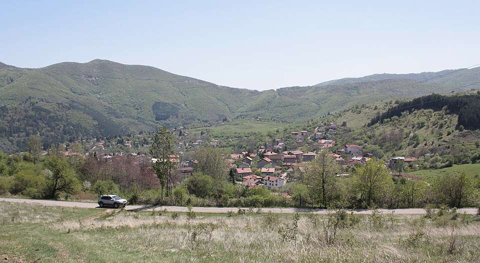
科卡利亚内(Kokalyane,Stolichna 市镇)的照片
保加利亚 · 索菲亚市
居民点
科卡利亚内是保加利亚索菲亚市 Stolichna 市镇的一处村庄。 EKATTE 代码:37914。海拔范围:500–699 米。 本资料依据官方《全国居民点登记册》编写。您可以在地图上查看位置,并将此地加入个人旅行路线。
查看详情图片来源: Edal Anton Lefterov · CC BY-SA 3.0 · 许可协议
查看位置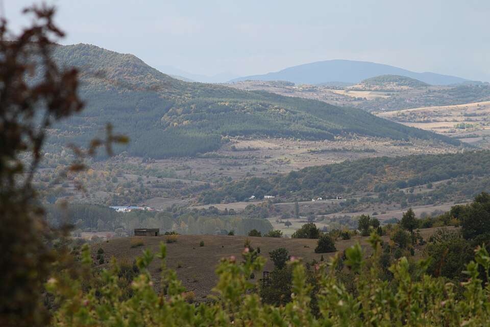
Kokiche(Kardzhali 市镇)的照片
保加利亚 · 克尔贾利州
居民点
Kokiche 是保加利亚克尔贾利州 Kardzhali 市镇的一处村庄。 EKATTE 代码:37928。海拔范围:300–499 米。 本资料依据官方《全国居民点登记册》编写。您可以在地图上查看位置,并将此地加入个人旅行路线。
查看详情图片来源: Bin im Garten · CC BY-SA 3.0 · 许可协议
查看位置Representative point of the settlement. Overview map; confirm the exact visiting address.
保加利亚 · 斯莫梁州
居民点
Kokorovo 是保加利亚斯莫梁州 Smolyan 市镇的一处村庄。 EKATTE 代码:37945。海拔范围:≥ 1000 米。 本资料依据官方《全国居民点登记册》编写。您可以在地图上查看位置,并将此地加入个人旅行路线。
查看详情Representative point of the settlement. Overview map; confirm the exact visiting address.
保加利亚 · 斯莫梁州
居民点
Kokortsi 是保加利亚斯莫梁州 Rudozem 市镇的一处村庄。 EKATTE 代码:37959。海拔范围:700–999 米。 本资料依据官方《全国居民点登记册》编写。您可以在地图上查看位置,并将此地加入个人旅行路线。
查看详情Representative point of the settlement. Overview map; confirm the exact visiting address.
保加利亚 · 克尔贾利州
居民点
Kokoshane 是保加利亚克尔贾利州 Kardzhali 市镇的一处村庄。 EKATTE 代码:37962。海拔范围:300–499 米。 本资料依据官方《全国居民点登记册》编写。您可以在地图上查看位置,并将此地加入个人旅行路线。
查看详情Representative point of the settlement. Overview map; confirm the exact visiting address.
保加利亚 · 大特尔诺沃州
居民点
Kolari 是保加利亚大特尔诺沃州 Elena 市镇的一处村庄。 EKATTE 代码:37976。海拔范围:300–499 米。 本资料依据官方《全国居民点登记册》编写。您可以在地图上查看位置,并将此地加入个人旅行路线。
查看详情Representative point of the settlement. Overview map; confirm the exact visiting address.
保加利亚 · 锡利斯特拉州
居民点
科拉罗沃是保加利亚锡利斯特拉州 Glavinitsa 市镇的一处村庄。 EKATTE 代码:37993。海拔范围:100–199 米。 本资料依据官方《全国居民点登记册》编写。您可以在地图上查看位置,并将此地加入个人旅行路线。
查看详情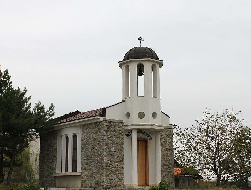
Kolarovo(Harmanli 市镇)的照片
保加利亚 · 哈斯科沃州
居民点
Kolarovo 是保加利亚哈斯科沃州 Harmanli 市镇的一处村庄。 EKATTE 代码:38011。海拔范围:200–299 米。 本资料依据官方《全国居民点登记册》编写。您可以在地图上查看位置,并将此地加入个人旅行路线。
查看详情图片来源: Bin im Garten · CC BY-SA 3.0 · 许可协议
查看位置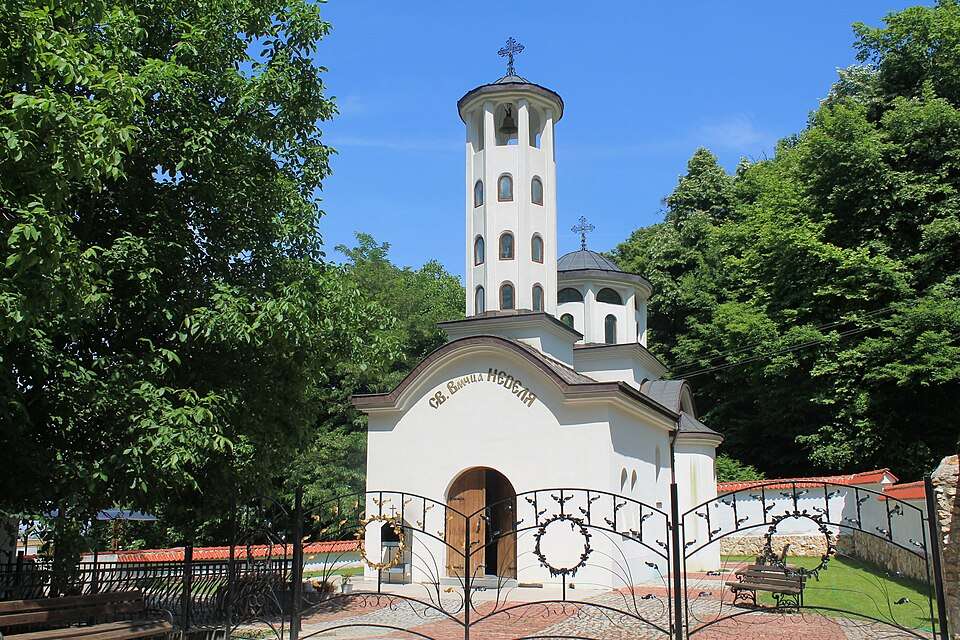
科拉罗沃(Kolarovo,Petrich 市镇)的照片
保加利亚 · 布拉戈耶夫格勒州
居民点
科拉罗沃是保加利亚布拉戈耶夫格勒州 Petrich 市镇的一处村庄。 EKATTE 代码:37989。海拔范围:300–499 米。 本资料依据官方《全国居民点登记册》编写。您可以在地图上查看位置,并将此地加入个人旅行路线。
查看详情图片来源: Кочев · CC BY-SA 4.0 · 许可协议
查看位置Representative point of the settlement. Overview map; confirm the exact visiting address.
保加利亚 · 旧扎戈拉州
居民点
科拉罗沃是保加利亚旧扎戈拉州 Radnevo 市镇的一处村庄。 EKATTE 代码:38008。海拔范围:100–199 米。 本资料依据官方《全国居民点登记册》编写。您可以在地图上查看位置,并将此地加入个人旅行路线。
查看详情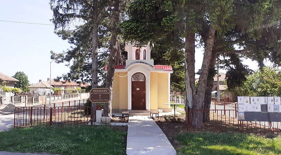
科拉尔齐(Kolartsi,Tervel 市镇)的照片
保加利亚 · 多布里奇州
居民点
科拉尔齐是保加利亚多布里奇州 Tervel 市镇的一处村庄。 EKATTE 代码:38025。海拔范围:200–299 米。 本资料依据官方《全国居民点登记册》编写。您可以在地图上查看位置,并将此地加入个人旅行路线。
查看详情图片来源: Ким Хи Янг · CC BY-SA 4.0 · 许可协议
查看位置Representative point of the settlement. Overview map; confirm the exact visiting address.
保加利亚 · 旧扎戈拉州
居民点
Kolena 是保加利亚旧扎戈拉州 Stara Zagora 市镇的一处村庄。 EKATTE 代码:38039。海拔范围:200–299 米。 本资料依据官方《全国居民点登记册》编写。您可以在地图上查看位置,并将此地加入个人旅行路线。
查看详情Representative point of the settlement. Overview map; confirm the exact visiting address.
保加利亚 · 哈斯科沃州
居民点
Kolets 是保加利亚哈斯科沃州 Mineralni bani 市镇的一处村庄。 EKATTE 代码:38042。海拔范围:300–499 米。 本资料依据官方《全国居民点登记册》编写。您可以在地图上查看位置,并将此地加入个人旅行路线。
查看详情Representative point of the settlement. Overview map; confirm the exact visiting address.
保加利亚 · 布拉戈耶夫格勒州
居民点
Kolibite 是保加利亚布拉戈耶夫格勒州 Strumyani 市镇的一处村庄。 EKATTE 代码:38056。海拔范围:≥ 1000 米。 本资料依据官方《全国居民点登记册》编写。您可以在地图上查看位置,并将此地加入个人旅行路线。
查看详情Representative point of the settlement. Overview map; confirm the exact visiting address.
保加利亚 · 加布罗沃州
居民点
Kolishovtsi 是保加利亚加布罗沃州 Gabrovo 市镇的一处村庄。 EKATTE 代码:38060。海拔范围:500–699 米。 本资料依据官方《全国居民点登记册》编写。您可以在地图上查看位置,并将此地加入个人旅行路线。
查看详情Representative point of the settlement. Overview map; confirm the exact visiting address.
保加利亚 · 锡利斯特拉州
居民点
科洛伯尔是保加利亚锡利斯特拉州 Dulovo 市镇的一处村庄。 EKATTE 代码:38073。海拔范围:200–299 米。 本资料依据官方《全国居民点登记册》编写。您可以在地图上查看位置,并将此地加入个人旅行路线。
查看详情