Approximate area: Dryanovo. Overview map; confirm the exact visiting address.
保加利亚 · 加布罗沃州
博物馆与美术馆
Kolyu Ficheto博物馆——Dryanovo
工具、建筑文件和木雕样本揭示了硕士的工作方法。模型、档案照片和图画展示了他的教堂、房屋和桥梁,包括他家乡的Dryanovo镇的结构。
查看详情
探索旅行路线上的自然景观、历史遗迹和文化景点。
景点目录持续更新。参观详情请查看景点页面中的来源链接。
保加利亚居民点 · 5,256找到景点: 5893 · 显示第 2,425–2,448 项,共 5,893 · 页 102 / 246
Approximate area: Dryanovo. Overview map; confirm the exact visiting address.
保加利亚 · 加布罗沃州
博物馆与美术馆
工具、建筑文件和木雕样本揭示了硕士的工作方法。模型、档案照片和图画展示了他的教堂、房屋和桥梁,包括他家乡的Dryanovo镇的结构。
查看详情Representative point of the settlement. Overview map; confirm the exact visiting address.
保加利亚 · 加布罗沃州
居民点
Kolyu Ganev 是保加利亚加布罗沃州 Tryavna 市镇的一处村庄。 EKATTE 代码:38090。海拔范围:500–699 米。 本资料依据官方《全国居民点登记册》编写。您可以在地图上查看位置,并将此地加入个人旅行路线。
查看详情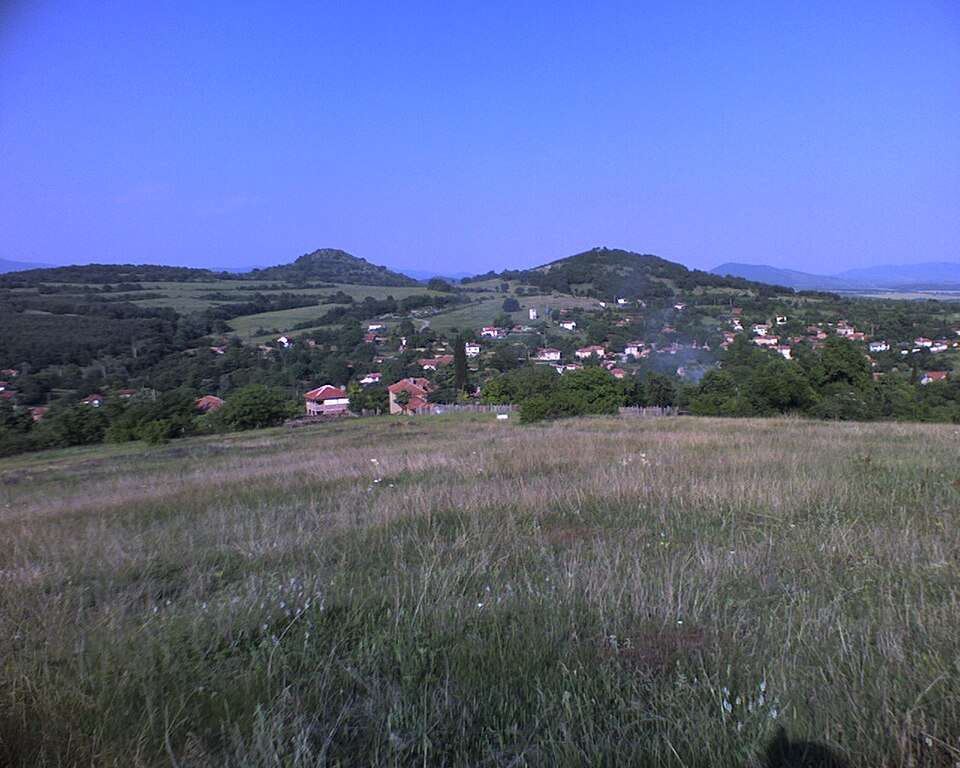
Kolyu Marinovo(Bratya Daskalovi 市镇)的照片
保加利亚 · 旧扎戈拉州
居民点
Kolyu Marinovo 是保加利亚旧扎戈拉州 Bratya Daskalovi 市镇的一处村庄。 EKATTE 代码:38100。海拔范围:300–499 米。 本资料依据官方《全国居民点登记册》编写。您可以在地图上查看位置,并将此地加入个人旅行路线。
查看详情图片来源: Original author and uploader was Karatanev at bg.wikipedia · Public domain · 许可协议
查看位置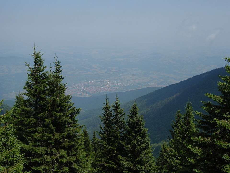
保加利亚 · 蒙塔纳州
自然与山地
Golyam Kom升至2 016米,是Berkovitsa山的最高顶峰。Sreden和Malak Kom站在东边,宽坡形成广泛的高地放牧区。
查看详情图片来源: Alexander.D.Hristov · CC BY-SA 4.0 · 许可协议
查看位置Representative point of the settlement. Overview map; confirm the exact visiting address.
保加利亚 · 蒙塔纳州
居民点
Komarevo 是保加利亚蒙塔纳州 Berkovitsa 市镇的一处村庄。 EKATTE 代码:38131。海拔范围:200–299 米。 本资料依据官方《全国居民点登记册》编写。您可以在地图上查看位置,并将此地加入个人旅行路线。
查看详情Representative point of the settlement. Overview map; confirm the exact visiting address.
保加利亚 · 弗拉察州
居民点
Komarevo 是保加利亚弗拉察州 Byala Slatina 市镇的一处村庄。 EKATTE 代码:38128。海拔范围:100–199 米。 本资料依据官方《全国居民点登记册》编写。您可以在地图上查看位置,并将此地加入个人旅行路线。
查看详情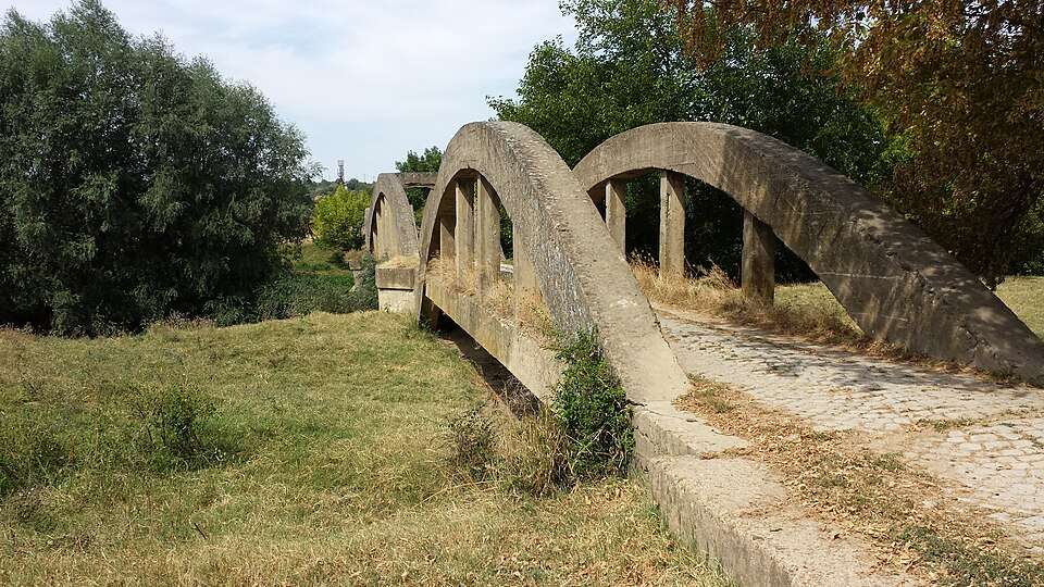
科马雷沃(Komarevo,Dolna Mitropolia 市镇)的照片
保加利亚 · 普列文州
居民点
科马雷沃是保加利亚普列文州 Dolna Mitropolia 市镇的一处村庄。 EKATTE 代码:38145。海拔范围:0–49 米。 本资料依据官方《全国居民点登记册》编写。您可以在地图上查看位置,并将此地加入个人旅行路线。
查看详情图片来源: Handzhiyska · CC BY-SA 3.0 · 许可协议
查看位置Representative point of the settlement. Overview map; confirm the exact visiting address.
保加利亚 · 瓦尔纳州
居民点
科马雷沃是保加利亚瓦尔纳州 Provadia 市镇的一处村庄。 EKATTE 代码:38114。海拔范围:50–99 米。 本资料依据官方《全国居民点登记册》编写。您可以在地图上查看位置,并将此地加入个人旅行路线。
查看详情Representative point of the settlement. Overview map; confirm the exact visiting address.
保加利亚 · 蒙塔纳州
居民点
科莫什蒂察是保加利亚蒙塔纳州 Yakimovo 市镇的一处村庄。 EKATTE 代码:38159。海拔范围:100–199 米。 本资料依据官方《全国居民点登记册》编写。您可以在地图上查看位置,并将此地加入个人旅行路线。
查看详情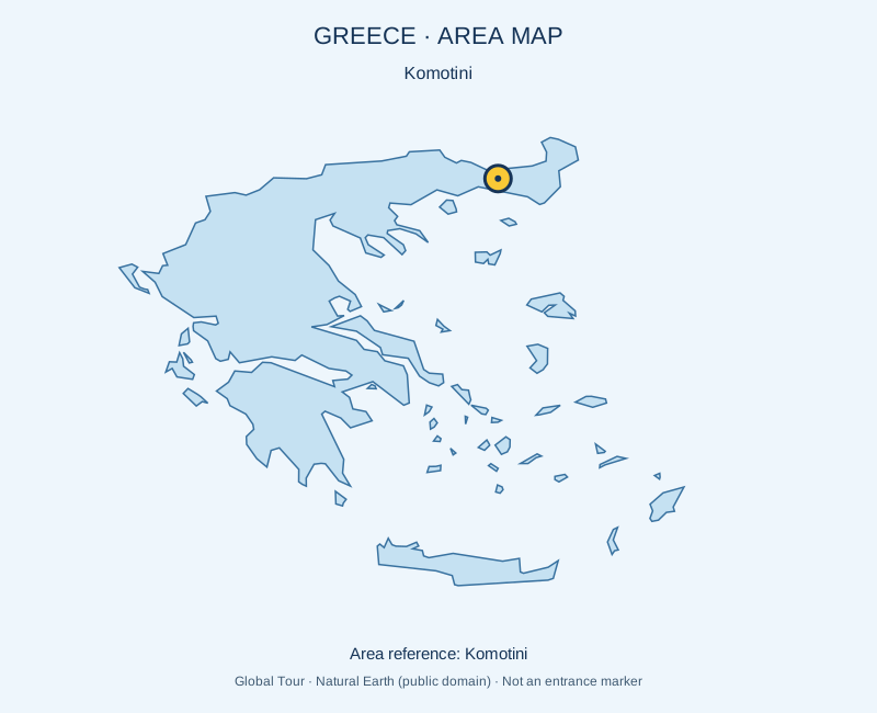
希腊
具有多文化传统和活跃中心的西色雷斯城市。 是否安排游览及是否另行收费,以所选行程为准。请通过官方渠道确认当前的开放情况和时间。地图标记的是景点的大致位置,并非入口。
查看详情图片来源: Global Tour · Natural Earth (public domain) · approximate area map · 许可协议
查看位置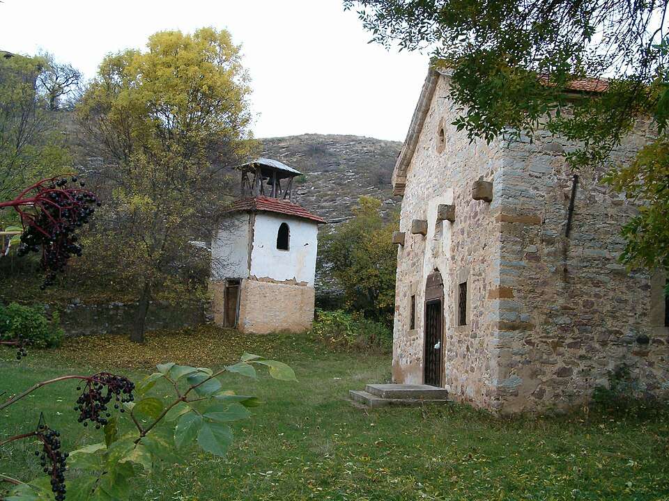
Komshtitsa(Godech 市镇)的照片
保加利亚 · 索菲亚州
居民点
Komshtitsa 是保加利亚索菲亚州 Godech 市镇的一处村庄。 EKATTE 代码:38186。海拔范围:700–999 米。 本资料依据官方《全国居民点登记册》编写。您可以在地图上查看位置,并将此地加入个人旅行路线。
查看详情图片来源: Miko Stavrev · CC BY-SA 3.0 · 许可协议
查看位置Representative point of the settlement. Overview map; confirm the exact visiting address.
保加利亚 · 瓦尔纳州
居民点
Komunari 是保加利亚瓦尔纳州 Dalgopol 市镇的一处村庄。 EKATTE 代码:38162。海拔范围:50–99 米。 本资料依据官方《全国居民点登记册》编写。您可以在地图上查看位置,并将此地加入个人旅行路线。
查看详情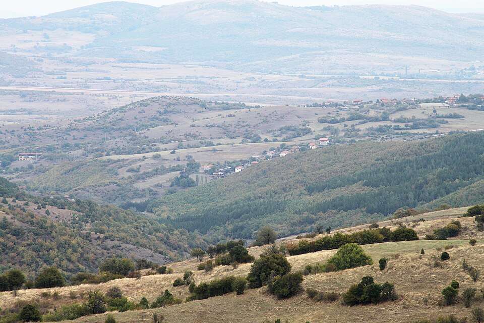
科穆尼加(Komuniga,Chernoochene 市镇)的照片
保加利亚 · 克尔贾利州
居民点
科穆尼加是保加利亚克尔贾利州 Chernoochene 市镇的一处村庄。 EKATTE 代码:38176。海拔范围:500–699 米。 本资料依据官方《全国居民点登记册》编写。您可以在地图上查看位置,并将此地加入个人旅行路线。
查看详情图片来源: Bin im Garten · CC BY-SA 3.0 · 许可协议
查看位置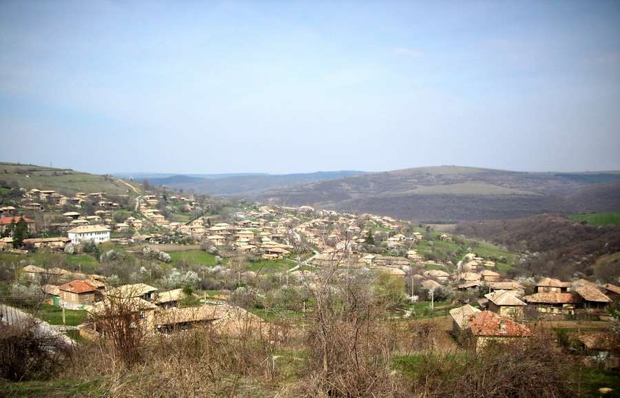
Konak(Popovo 市镇)的照片
保加利亚 · 特尔戈维什特州
居民点
Konak 是保加利亚特尔戈维什特州 Popovo 市镇的一处村庄。 EKATTE 代码:38193。海拔范围:300–499 米。 本资料依据官方《全国居民点登记册》编写。您可以在地图上查看位置,并将此地加入个人旅行路线。
查看详情图片来源: Wlado bg (Vladimir Stoykov) · CC BY 3.0 · 许可协议
查看位置Representative point of the settlement. Overview map; confirm the exact visiting address.
保加利亚 · 多布里奇州
居民点
Konare 是保加利亚多布里奇州 General Toshevo 市镇的一处村庄。 EKATTE 代码:38217。海拔范围:100–199 米。 本资料依据官方《全国居民点登记册》编写。您可以在地图上查看位置,并将此地加入个人旅行路线。
查看详情Representative point of the settlement. Overview map; confirm the exact visiting address.
保加利亚 · 旧扎戈拉州
居民点
科纳雷是保加利亚旧扎戈拉州 Gurkovo 市镇的一处村庄。 EKATTE 代码:38203。海拔范围:300–499 米。 本资料依据官方《全国居民点登记册》编写。您可以在地图上查看位置,并将此地加入个人旅行路线。
查看详情Representative point of the settlement. Overview map; confirm the exact visiting address.
保加利亚 · 布拉戈耶夫格勒州
居民点
科纳尔斯科是保加利亚布拉戈耶夫格勒州 Yakoruda 市镇的一处村庄。 EKATTE 代码:38220。海拔范围:700–999 米。 本资料依据官方《全国居民点登记册》编写。您可以在地图上查看位置,并将此地加入个人旅行路线。
查看详情Representative point of the settlement. Overview map; confirm the exact visiting address.
保加利亚 · 加布罗沃州
居民点
Konarskoto 是保加利亚加布罗沃州 Tryavna 市镇的一处村庄。 EKATTE 代码:38234。海拔范围:700–999 米。 本资料依据官方《全国居民点登记册》编写。您可以在地图上查看位置,并将此地加入个人旅行路线。
查看详情Representative point of the settlement. Overview map; confirm the exact visiting address.
保加利亚 · 克尔贾利州
居民点
Konche 是保加利亚克尔贾利州 Momchilgrad 市镇的一处村庄。 EKATTE 代码:38409。海拔范围:300–499 米。 本资料依据官方《全国居民点登记册》编写。您可以在地图上查看位置,并将此地加入个人旅行路线。
查看详情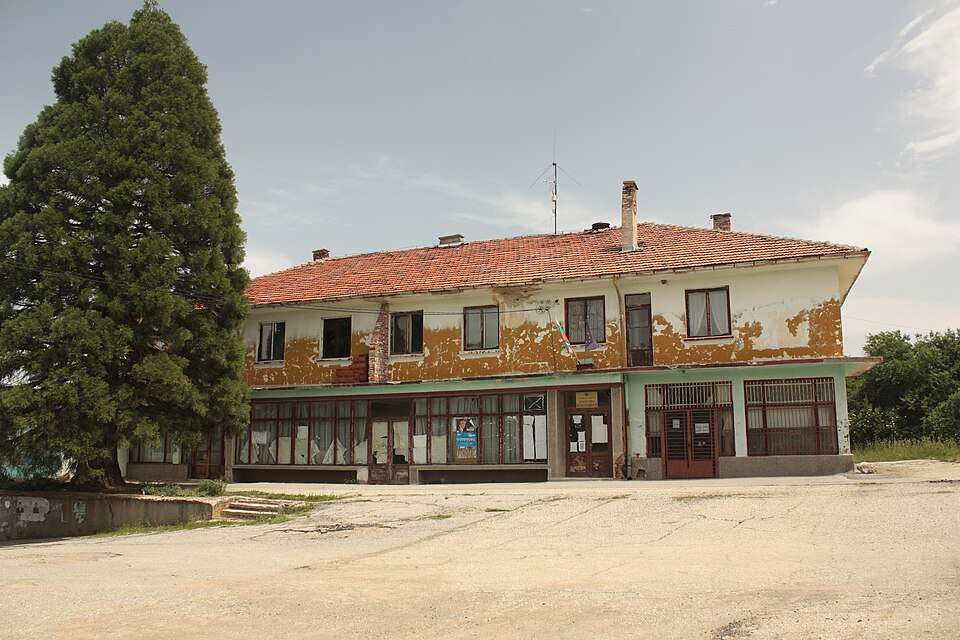
Kondofrey(Radomir 市镇)的照片
保加利亚 · 佩尔尼克州
居民点
Kondofrey 是保加利亚佩尔尼克州 Radomir 市镇的一处村庄。 EKATTE 代码:38265。海拔范围:500–699 米。 本资料依据官方《全国居民点登记册》编写。您可以在地图上查看位置,并将此地加入个人旅行路线。
查看详情图片来源: Edal Anton Lefterov · CC BY-SA 3.0 · 许可协议
查看位置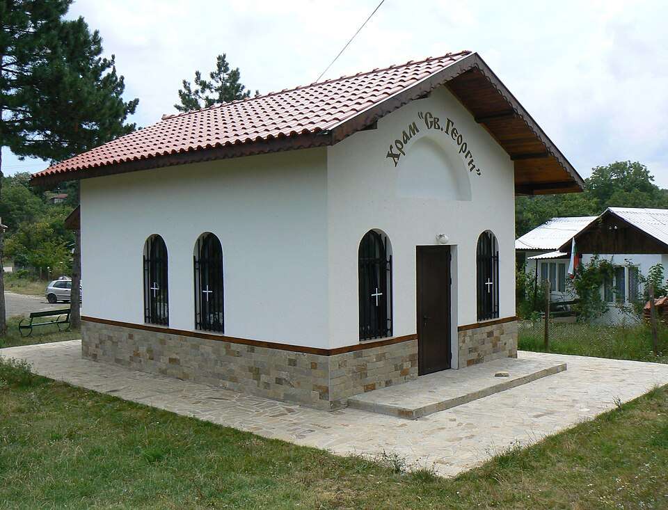
Kondolovo(Tsarevo 市镇)的照片
保加利亚 · 布尔加斯州
居民点
Kondolovo 是保加利亚布尔加斯州 Tsarevo 市镇的一处村庄。 EKATTE 代码:38251。海拔范围:300–499 米。 本资料依据官方《全国居民点登记册》编写。您可以在地图上查看位置,并将此地加入个人旅行路线。
查看详情图片来源: Spiritia · CC BY-SA 3.0 · 许可协议
查看位置Representative point of the settlement. Overview map; confirm the exact visiting address.
保加利亚 · 哈斯科沃州
居民点
Kondovo 是保加利亚哈斯科沃州 Ivaylovgrad 市镇的一处村庄。 EKATTE 代码:38248。海拔范围:300–499 米。 本资料依据官方《全国居民点登记册》编写。您可以在地图上查看位置,并将此地加入个人旅行路线。
查看详情Representative point of the settlement. Overview map; confirm the exact visiting address.
保加利亚 · 扬博尔州
居民点
Konevets 是保加利亚扬博尔州 Tundzha 市镇的一处村庄。 EKATTE 代码:38279。海拔范围:100–199 米。 本资料依据官方《全国居民点登记册》编写。您可以在地图上查看位置,并将此地加入个人旅行路线。
查看详情Representative point of the settlement. Overview map; confirm the exact visiting address.
保加利亚 · 拉兹格勒州
居民点
Konevo 是保加利亚拉兹格勒州 Isperih 市镇的一处村庄。 EKATTE 代码:38296。海拔范围:200–299 米。 本资料依据官方《全国居民点登记册》编写。您可以在地图上查看位置,并将此地加入个人旅行路线。
查看详情