Representative point of the settlement. Overview map; confirm the exact visiting address.
保加利亚 · 克尔贾利州
居民点
Konevo(Kardzhali 市镇)
Konevo 是保加利亚克尔贾利州 Kardzhali 市镇的一处村庄。 EKATTE 代码:38282。海拔范围:300–499 米。 本资料依据官方《全国居民点登记册》编写。您可以在地图上查看位置,并将此地加入个人旅行路线。
查看详情
探索旅行路线上的自然景观、历史遗迹和文化景点。
景点目录持续更新。参观详情请查看景点页面中的来源链接。
保加利亚居民点 · 5,256找到景点: 5893 · 显示第 2,449–2,472 项,共 5,893 · 页 103 / 246
Representative point of the settlement. Overview map; confirm the exact visiting address.
保加利亚 · 克尔贾利州
居民点
Konevo 是保加利亚克尔贾利州 Kardzhali 市镇的一处村庄。 EKATTE 代码:38282。海拔范围:300–499 米。 本资料依据官方《全国居民点登记册》编写。您可以在地图上查看位置,并将此地加入个人旅行路线。
查看详情Representative point of the settlement. Overview map; confirm the exact visiting address.
保加利亚 · 舒门州
居民点
Konevo 是保加利亚舒门州 Varbitsa 市镇的一处村庄。 EKATTE 代码:38306。海拔范围:200–299 米。 本资料依据官方《全国居民点登记册》编写。您可以在地图上查看位置,并将此地加入个人旅行路线。
查看详情Representative point of the settlement. Overview map; confirm the exact visiting address.
保加利亚 · 哈斯科沃州
居民点
Konnitsi 是保加利亚哈斯科沃州 Ivaylovgrad 市镇的一处村庄。 EKATTE 代码:38317。海拔范围:500–699 米。 本资料依据官方《全国居民点登记册》编写。您可以在地图上查看位置,并将此地加入个人旅行路线。
查看详情Representative point of the settlement. Overview map; confirm the exact visiting address.
保加利亚 · 特尔戈维什特州
居民点
Konop 是保加利亚特尔戈维什特州 Antonovo 市镇的一处村庄。 EKATTE 代码:38323。海拔范围:300–499 米。 本资料依据官方《全国居民点登记册》编写。您可以在地图上查看位置,并将此地加入个人旅行路线。
查看详情Representative point of the settlement. Overview map; confirm the exact visiting address.
保加利亚 · 佩尔尼克州
居民点
Konska 是保加利亚佩尔尼克州 Breznik 市镇的一处村庄。 EKATTE 代码:41126。海拔范围:700–999 米。 本资料依据官方《全国居民点登记册》编写。您可以在地图上查看位置,并将此地加入个人旅行路线。
查看详情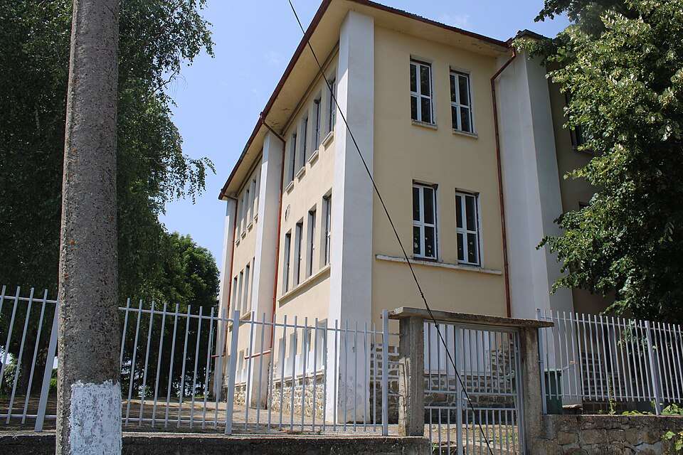
康斯坦丁(Konstantin,Elena 市镇)的照片
保加利亚 · 大特尔诺沃州
居民点
康斯坦丁是保加利亚大特尔诺沃州 Elena 市镇的一处村庄。 EKATTE 代码:38337。海拔范围:300–499 米。 本资料依据官方《全国居民点登记册》编写。您可以在地图上查看位置,并将此地加入个人旅行路线。
查看详情图片来源: MalevE93 · CC BY-SA 4.0 · 许可协议
查看位置Representative point of the settlement. Overview map; confirm the exact visiting address.
保加利亚 · 旧扎戈拉州
居民点
Konstantinovets 是保加利亚旧扎戈拉州 Radnevo 市镇的一处村庄。 EKATTE 代码:38340。海拔范围:100–199 米。 本资料依据官方《全国居民点登记册》编写。您可以在地图上查看位置,并将此地加入个人旅行路线。
查看详情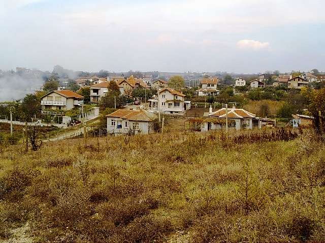
科恩斯坦蒂诺沃(Konstantinovo,Kameno 市镇)的照片
保加利亚 · 布尔加斯州
居民点
科恩斯坦蒂诺沃是保加利亚布尔加斯州 Kameno 市镇的一处村庄。 EKATTE 代码:52279。海拔范围:0–49 米。 本资料依据官方《全国居民点登记册》编写。您可以在地图上查看位置,并将此地加入个人旅行路线。
查看详情图片来源: Bulgarian Wikipedia user Sawel · CC BY-SA 3.0 · 许可协议
查看位置Representative point of the settlement. Overview map; confirm the exact visiting address.
保加利亚 · 哈斯科沃州
居民点
Konstantinovo 是保加利亚哈斯科沃州 Simeonovgrad 市镇的一处村庄。 EKATTE 代码:38368。海拔范围:100–199 米。 本资料依据官方《全国居民点登记册》编写。您可以在地图上查看位置,并将此地加入个人旅行路线。
查看详情Representative point of the settlement. Overview map; confirm the exact visiting address.
保加利亚 · 瓦尔纳州
居民点
科恩斯坦蒂诺沃是保加利亚瓦尔纳州 Varna 市镇的一处村庄。 EKATTE 代码:38354。海拔范围:50–99 米。 本资料依据官方《全国居民点登记册》编写。您可以在地图上查看位置,并将此地加入个人旅行路线。
查看详情Representative point of the settlement. Overview map; confirm the exact visiting address.
保加利亚 · 克尔贾利州
居民点
Kontil 是保加利亚克尔贾利州 Dzhebel 市镇的一处村庄。 EKATTE 代码:38371。海拔范围:700–999 米。 本资料依据官方《全国居民点登记册》编写。您可以在地图上查看位置,并将此地加入个人旅行路线。
查看详情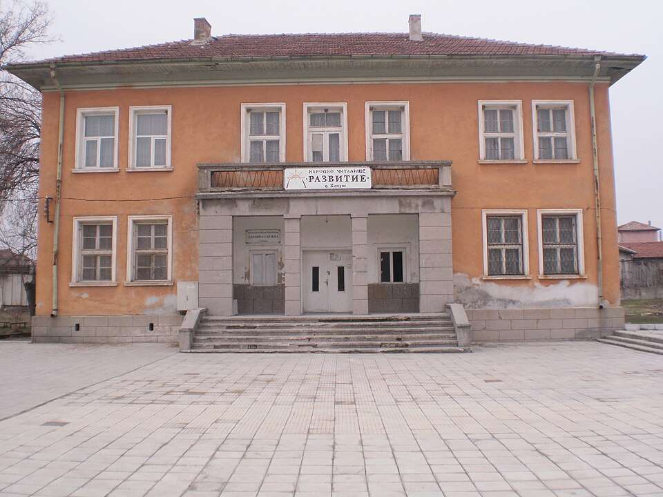
科努什(Konush,Asenovgrad 市镇)的照片
保加利亚 · 普罗夫迪夫州
居民点
科努什是保加利亚普罗夫迪夫州 Asenovgrad 市镇的一处村庄。 EKATTE 代码:38385。海拔范围:100–199 米。 本资料依据官方《全国居民点登记册》编写。您可以在地图上查看位置,并将此地加入个人旅行路线。
查看详情图片来源: Atanas.nikolov · CC BY-SA 3.0 · 许可协议
查看位置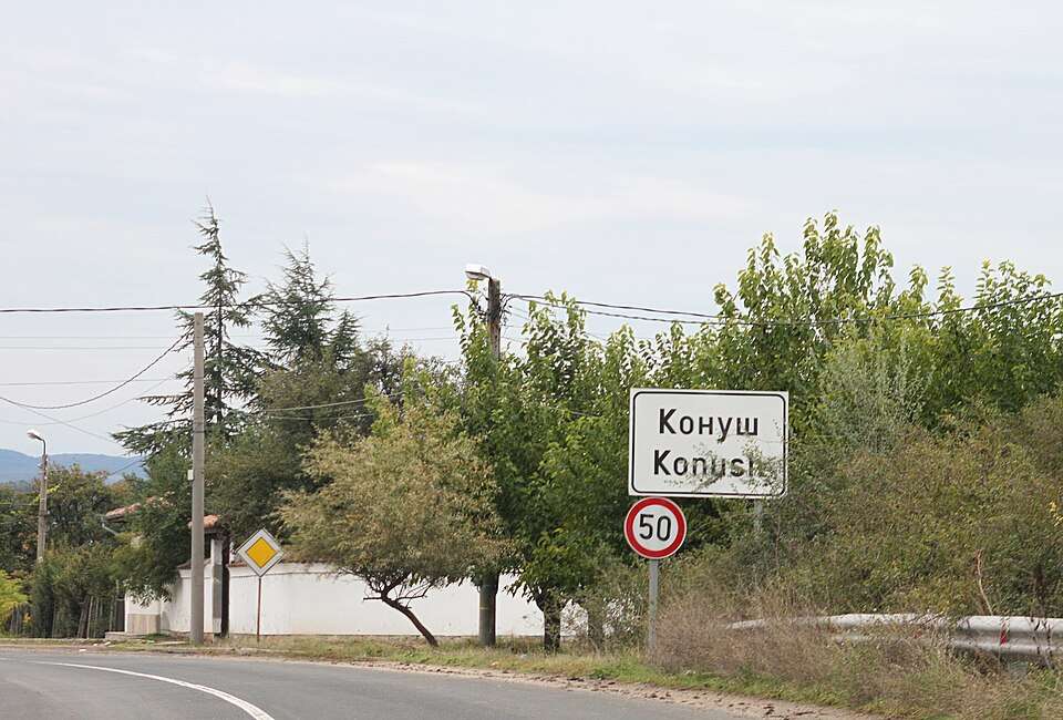
科努什(Konush,Haskovo 市镇)的照片
保加利亚 · 哈斯科沃州
居民点
科努什是保加利亚哈斯科沃州 Haskovo 市镇的一处村庄。 EKATTE 代码:38399。海拔范围:100–199 米。 本资料依据官方《全国居民点登记册》编写。您可以在地图上查看位置,并将此地加入个人旅行路线。
查看详情图片来源: Bin im Garten · CC BY-SA 3.0 · 许可协议
查看位置Representative point of the settlement. Overview map; confirm the exact visiting address.
保加利亚 · 丘斯滕迪尔州
居民点
科尼亚沃是保加利亚丘斯滕迪尔州 Kyustendil 市镇的一处村庄。 EKATTE 代码:38432。海拔范围:500–699 米。 本资料依据官方《全国居民点登记册》编写。您可以在地图上查看位置,并将此地加入个人旅行路线。
查看详情Representative point of the settlement. Overview map; confirm the exact visiting address.
保加利亚 · 舒门州
居民点
Konyovets 是保加利亚舒门州 Shumen 市镇的一处村庄。 EKATTE 代码:41188。海拔范围:200–299 米。 本资料依据官方《全国居民点登记册》编写。您可以在地图上查看位置,并将此地加入个人旅行路线。
查看详情Representative point of the settlement. Overview map; confirm the exact visiting address.
保加利亚 · 斯利文州
居民点
科尼奥沃是保加利亚斯利文州 Nova Zagora 市镇的一处村庄。 EKATTE 代码:38426。海拔范围:100–199 米。 本资料依据官方《全国居民点登记册》编写。您可以在地图上查看位置,并将此地加入个人旅行路线。
查看详情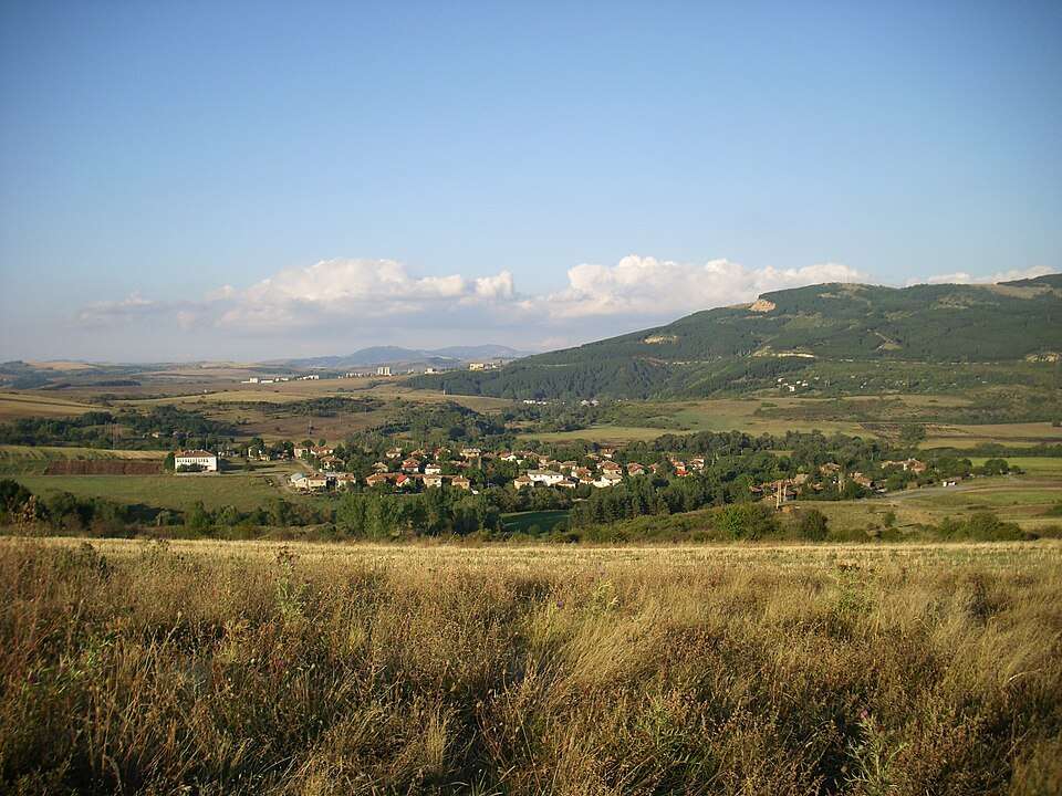
Kopanitsa(Radomir 市镇)的照片
保加利亚 · 佩尔尼克州
居民点
Kopanitsa 是保加利亚佩尔尼克州 Radomir 市镇的一处村庄。 EKATTE 代码:38460。海拔范围:700–999 米。 本资料依据官方《全国居民点登记册》编写。您可以在地图上查看位置,并将此地加入个人旅行路线。
查看详情图片来源: Suvorov at Bulgarian Wikipedia · Public domain · 许可协议
查看位置
Kopcheliite(Gabrovo 市镇)的照片
保加利亚 · 加布罗沃州
居民点
Kopcheliite 是保加利亚加布罗沃州 Gabrovo 市镇的一处村庄。 EKATTE 代码:38577。海拔范围:300–499 米。 本资料依据官方《全国居民点登记册》编写。您可以在地图上查看位置,并将此地加入个人旅行路线。
查看详情图片来源: Bogomilshopov · CC0 · 许可协议
查看位置Representative point of the settlement. Overview map; confirm the exact visiting address.
保加利亚 · 蒙塔纳州
居民点
科皮洛夫齐是保加利亚蒙塔纳州 Georgi Damyanovo 市镇的一处村庄。 EKATTE 代码:38488。海拔范围:500–699 米。 本资料依据官方《全国居民点登记册》编写。您可以在地图上查看位置,并将此地加入个人旅行路线。
查看详情Representative point of the settlement. Overview map; confirm the exact visiting address.
保加利亚 · 丘斯滕迪尔州
居民点
科皮洛夫齐是保加利亚丘斯滕迪尔州 Kyustendil 市镇的一处村庄。 EKATTE 代码:38474。海拔范围:300–499 米。 本资料依据官方《全国居民点登记册》编写。您可以在地图上查看位置,并将此地加入个人旅行路线。
查看详情Representative point of the settlement. Overview map; confirm the exact visiting address.
保加利亚 · 克尔贾利州
居民点
Kopitnik 是保加利亚克尔贾利州 Chernoochene 市镇的一处村庄。 EKATTE 代码:38491。海拔范围:500–699 米。 本资料依据官方《全国居民点登记册》编写。您可以在地图上查看位置,并将此地加入个人旅行路线。
查看详情Representative point of the settlement. Overview map; confirm the exact visiting address.
保加利亚 · 特尔戈维什特州
居民点
Koprets 是保加利亚特尔戈维什特州 Targovishte 市镇的一处村庄。 EKATTE 代码:38501。海拔范围:300–499 米。 本资料依据官方《全国居民点登记册》编写。您可以在地图上查看位置,并将此地加入个人旅行路线。
查看详情
科普里恩卡(Koprinka,Kazanlak 市镇)的照片
保加利亚 · 旧扎戈拉州
居民点
科普里恩卡是保加利亚旧扎戈拉州 Kazanlak 市镇的一处村庄。 EKATTE 代码:38563。海拔范围:300–499 米。 本资料依据官方《全国居民点登记册》编写。您可以在地图上查看位置,并将此地加入个人旅行路线。
查看详情图片来源: M2nmx · CC BY-SA 3.0 · 许可协议
查看位置Representative point of the settlement. Overview map; confirm the exact visiting address.
保加利亚 · 丘斯滕迪尔州
居民点
Kopriva 是保加利亚丘斯滕迪尔州 Kyustendil 市镇的一处村庄。 EKATTE 代码:38515。海拔范围:≥ 1000 米。 本资料依据官方《全国居民点登记册》编写。您可以在地图上查看位置,并将此地加入个人旅行路线。
查看详情