旅游景点

探索旅行路线上的自然景观、历史遗迹和文化景点。

景点目录持续更新。参观详情请查看景点页面中的来源链接。

保加利亚居民点 · 5,256

找到景点: 5893 · 显示第 2,521–2,544 项,共 5,893 · 页 106 / 246

Map of Bulgaria with a marker for Kostilkovo(Ivaylovgrad 市镇)Representative point of the settlement. Overview map; confirm the exact visiting address.LOCATION · BULGARIAKostilkovo(Ivaylovgrad 市镇)NRepresentative point of the settlementMap: Global Tour · Outline: Natural Earth

Representative point of the settlement. Overview map; confirm the exact visiting address.

保加利亚 · 哈斯科沃州

居民点

Kostilkovo(Ivaylovgrad 市镇)

Kostilkovo 是保加利亚哈斯科沃州 Ivaylovgrad 市镇的一处村庄。 EKATTE 代码:38964。海拔范围:300–499 米。 本资料依据官方《全国居民点登记册》编写。您可以在地图上查看位置,并将此地加入个人旅行路线。

查看详情
查看位置

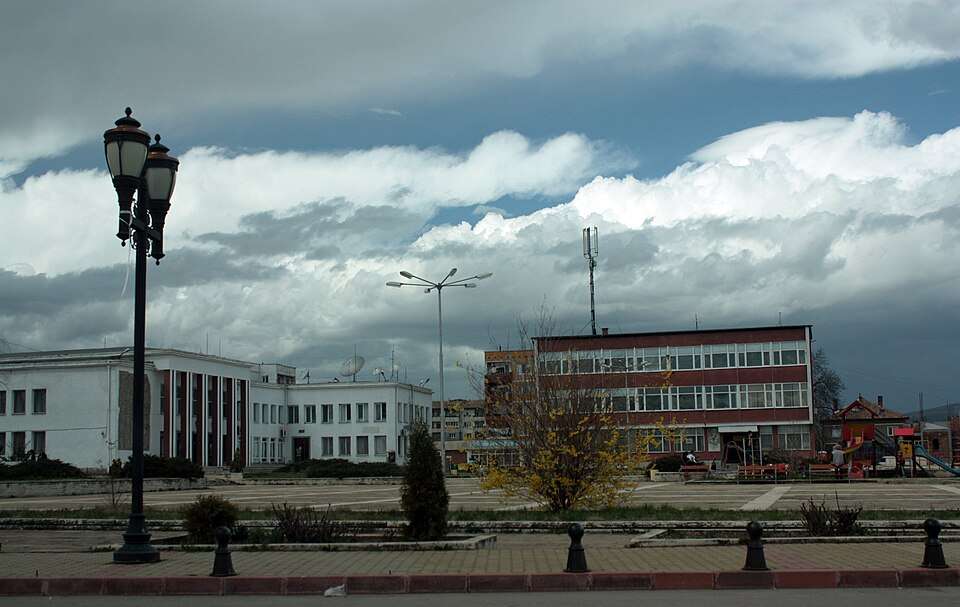
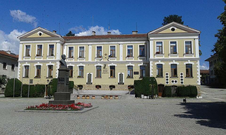
Kostinbrod(Kostinbrod 市镇)的照片

Kostinbrod(Kostinbrod 市镇)的照片

保加利亚 · 索菲亚州

居民点

Kostinbrod(Kostinbrod 市镇)

Kostinbrod 是保加利亚索菲亚州 Kostinbrod 市镇的一处城市。 EKATTE 代码:38978。海拔范围:500–699 米。该地是市镇行政中心。 本资料依据官方《全国居民点登记册》编写。您可以在地图上查看位置,并将此地加入个人旅行路线。

查看详情
图片来源: Edal Anton Leterov · CC BY-SA 3.0 · 许可协议

查看位置

Map of Bulgaria with a marker for Kostino(Kardzhali 市镇)Representative point of the settlement. Overview map; confirm the exact visiting address.LOCATION · BULGARIAKostino(Kardzhali 市镇)NRepresentative point of the settlementMap: Global Tour · Outline: Natural Earth

Representative point of the settlement. Overview map; confirm the exact visiting address.

保加利亚 · 克尔贾利州

居民点

Kostino(Kardzhali 市镇)

Kostino 是保加利亚克尔贾利州 Kardzhali 市镇的一处村庄。 EKATTE 代码:38981。海拔范围:500–699 米。 本资料依据官方《全国居民点登记册》编写。您可以在地图上查看位置,并将此地加入个人旅行路线。

查看详情
查看位置

Map of Bulgaria with a marker for Kostur(Svilengrad 市镇)Representative point of the settlement. Overview map; confirm the exact visiting address.LOCATION · BULGARIAKostur(Svilengrad 市镇)NRepresentative point of the settlementMap: Global Tour · Outline: Natural Earth

Representative point of the settlement. Overview map; confirm the exact visiting address.

保加利亚 · 哈斯科沃州

居民点

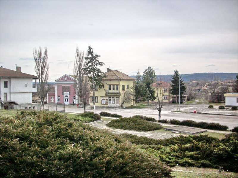
Kostur(Svilengrad 市镇)

Kostur 是保加利亚哈斯科沃州 Svilengrad 市镇的一处村庄。 EKATTE 代码:39001。海拔范围:300–499 米。 本资料依据官方《全国居民点登记册》编写。您可以在地图上查看位置,并将此地加入个人旅行路线。

查看详情
查看位置

Map of Bulgaria with a marker for Kosturino(Kirkovo 市镇)Representative point of the settlement. Overview map; confirm the exact visiting address.LOCATION · BULGARIAKosturino(Kirkovo 市镇)NRepresentative point of the settlementMap: Global Tour · Outline: Natural Earth

Representative point of the settlement. Overview map; confirm the exact visiting address.

保加利亚 · 克尔贾利州

居民点

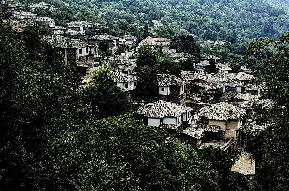
Kosturino(Kirkovo 市镇)

Kosturino 是保加利亚克尔贾利州 Kirkovo 市镇的一处村庄。 EKATTE 代码:39013。海拔范围:300–499 米。 本资料依据官方《全国居民点登记册》编写。您可以在地图上查看位置,并将此地加入个人旅行路线。

查看详情
查看位置

Map of Bulgaria with a marker for Kosturintsi(Tran 市镇)Representative point of the settlement. Overview map; confirm the exact visiting address.LOCATION · BULGARIAKosturintsi(Tran 市镇)NRepresentative point of the settlementMap: Global Tour · Outline: Natural Earth

Representative point of the settlement. Overview map; confirm the exact visiting address.

保加利亚 · 佩尔尼克州

居民点

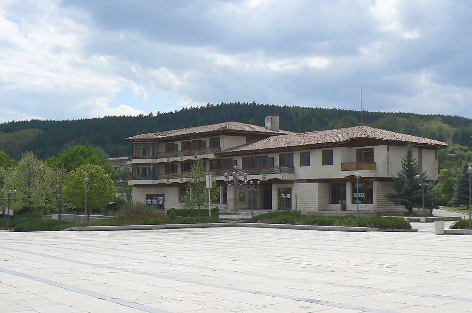
Kosturintsi(Tran 市镇)

Kosturintsi 是保加利亚佩尔尼克州 Tran 市镇的一处村庄。 EKATTE 代码:39027。海拔范围:700–999 米。 本资料依据官方《全国居民点登记册》编写。您可以在地图上查看位置,并将此地加入个人旅行路线。

查看详情
查看位置

Map of Bulgaria with a marker for Kotlari(Krumovgrad 市镇)Representative point of the settlement. Overview map; confirm the exact visiting address.LOCATION · BULGARIAKotlari(Krumovgrad 市镇)NRepresentative point of the settlementMap: Global Tour · Outline: Natural Earth

Representative point of the settlement. Overview map; confirm the exact visiting address.

保加利亚 · 克尔贾利州

居民点

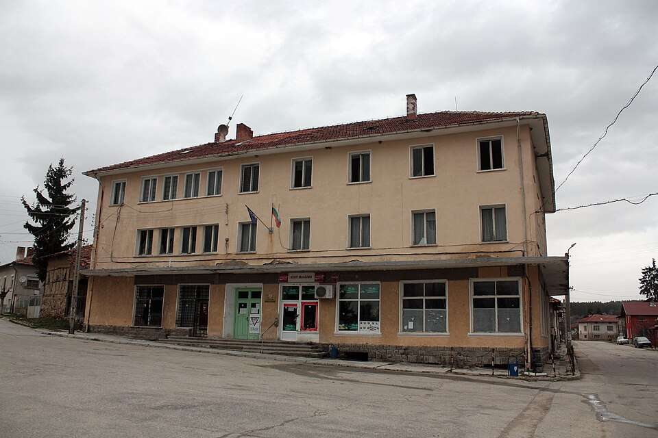
Kotlari(Krumovgrad 市镇)

Kotlari 是保加利亚克尔贾利州 Krumovgrad 市镇的一处村庄。 EKATTE 代码:39058。海拔范围:100–199 米。 本资料依据官方《全国居民点登记册》编写。您可以在地图上查看位置,并将此地加入个人旅行路线。

查看详情
查看位置

Map of Bulgaria with a marker for Kotlentsi(Dobrich-selska 市镇)Representative point of the settlement. Overview map; confirm the exact visiting address.LOCATION · BULGARIAKotlentsi(Dobrich-selska 市镇)NRepresentative point of the settlementMap: Global Tour · Outline: Natural Earth

Representative point of the settlement. Overview map; confirm the exact visiting address.

保加利亚 · 多布里奇州

居民点

Kotlentsi(Dobrich-selska 市镇)

Kotlentsi 是保加利亚多布里奇州 Dobrich-selska 市镇的一处村庄。 EKATTE 代码:39061。海拔范围:200–299 米。 本资料依据官方《全国居民点登记册》编写。您可以在地图上查看位置,并将此地加入个人旅行路线。

查看详情
查看位置

Map of Bulgaria with a marker for Kotutsi(Elena 市镇)Representative point of the settlement. Overview map; confirm the exact visiting address.LOCATION · BULGARIAKotutsi(Elena 市镇)NRepresentative point of the settlementMap: Global Tour · Outline: Natural Earth

Representative point of the settlement. Overview map; confirm the exact visiting address.

保加利亚 · 大特尔诺沃州

居民点

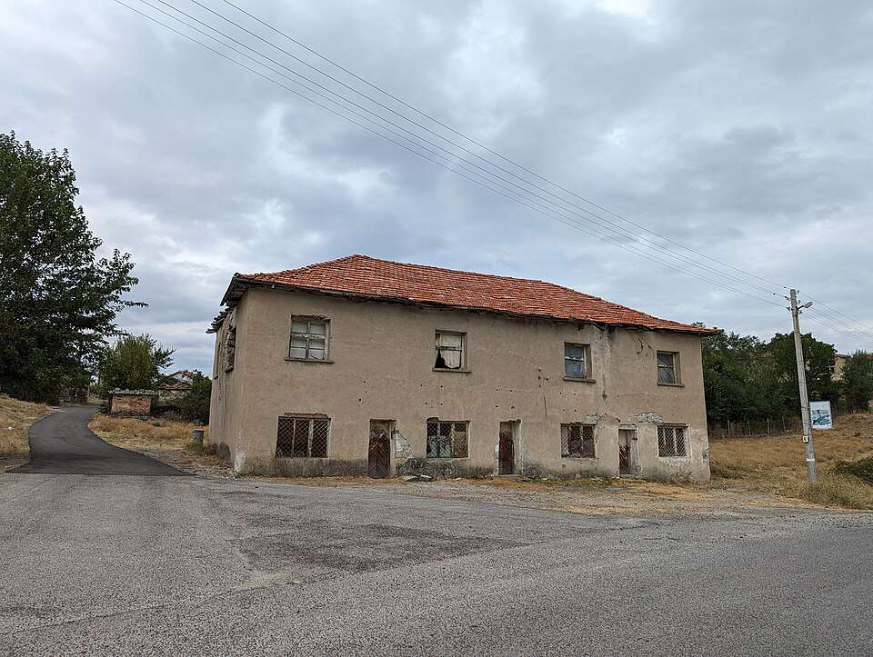
Kotutsi(Elena 市镇)

Kotutsi 是保加利亚大特尔诺沃州 Elena 市镇的一处村庄。 EKATTE 代码:39075。海拔范围:500–699 米。 本资料依据官方《全国居民点登记册》编写。您可以在地图上查看位置,并将此地加入个人旅行路线。

查看详情
查看位置

Map of Bulgaria with a marker for Kovach(Radnevo 市镇)Representative point of the settlement. Overview map; confirm the exact visiting address.LOCATION · BULGARIAKovach(Radnevo 市镇)NRepresentative point of the settlementMap: Global Tour · Outline: Natural Earth

Representative point of the settlement. Overview map; confirm the exact visiting address.

保加利亚 · 旧扎戈拉州

居民点

Kovach(Radnevo 市镇)

Kovach 是保加利亚旧扎戈拉州 Radnevo 市镇的一处村庄。 EKATTE 代码:37455。海拔范围:100–199 米。 本资料依据官方《全国居民点登记册》编写。您可以在地图上查看位置,并将此地加入个人旅行路线。

查看详情
查看位置

Map of Bulgaria with a marker for Kovachevo(Radnevo 市镇)Representative point of the settlement. Overview map; confirm the exact visiting address.LOCATION · BULGARIAKovachevo(Radnevo 市镇)NRepresentative point of the settlementMap: Global Tour · Outline: Natural Earth

Representative point of the settlement. Overview map; confirm the exact visiting address.

保加利亚 · 旧扎戈拉州

居民点

Kovachevo(Radnevo 市镇)

Kovachevo 是保加利亚旧扎戈拉州 Radnevo 市镇的一处村庄。 EKATTE 代码:37507。海拔范围:100–199 米。 本资料依据官方《全国居民点登记册》编写。您可以在地图上查看位置,并将此地加入个人旅行路线。

查看详情
查看位置

Map of Bulgaria with a marker for Kovachevo(Sandanski 市镇)Representative point of the settlement. Overview map; confirm the exact visiting address.LOCATION · BULGARIAKovachevo(Sandanski 市镇)NRepresentative point of the settlementMap: Global Tour · Outline: Natural Earth

Representative point of the settlement. Overview map; confirm the exact visiting address.

保加利亚 · 布拉戈耶夫格勒州

居民点

Kovachevo(Sandanski 市镇)

Kovachevo 是保加利亚布拉戈耶夫格勒州 Sandanski 市镇的一处村庄。 EKATTE 代码:37486。海拔范围:300–499 米。 本资料依据官方《全国居民点登记册》编写。您可以在地图上查看位置,并将此地加入个人旅行路线。

查看详情
查看位置

Map of Bulgaria with a marker for Kovachevo(Septemvri 市镇)Representative point of the settlement. Overview map; confirm the exact visiting address.LOCATION · BULGARIAKovachevo(Septemvri 市镇)NRepresentative point of the settlementMap: Global Tour · Outline: Natural Earth

Representative point of the settlement. Overview map; confirm the exact visiting address.

保加利亚 · 帕扎尔吉克州

居民点

Kovachevo(Septemvri 市镇)

Kovachevo 是保加利亚帕扎尔吉克州 Septemvri 市镇的一处村庄。 EKATTE 代码:37491。海拔范围:200–299 米。 本资料依据官方《全国居民点登记册》编写。您可以在地图上查看位置,并将此地加入个人旅行路线。

查看详情
查看位置

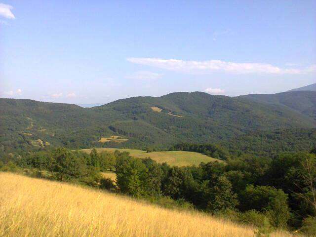
Kovachevtsi(Kovachevtsi 市镇)的照片

Kovachevtsi(Kovachevtsi 市镇)的照片

保加利亚 · 佩尔尼克州

居民点

Kovachevtsi(Kovachevtsi 市镇)

Kovachevtsi 是保加利亚佩尔尼克州 Kovachevtsi 市镇的一处村庄。 EKATTE 代码:37513。海拔范围:500–699 米。该地是市镇行政中心。 本资料依据官方《全国居民点登记册》编写。您可以在地图上查看位置,并将此地加入个人旅行路线。

查看详情

图片来源: Spiritia · CC BY-SA 3.0 · 许可协议

查看位置

Map of Bulgaria with a marker for Kovachite(Sliven 市镇)Representative point of the settlement. Overview map; confirm the exact visiting address.LOCATION · BULGARIAKovachite(Sliven 市镇)NRepresentative point of the settlementMap: Global Tour · Outline: Natural Earth

Representative point of the settlement. Overview map; confirm the exact visiting address.

保加利亚 · 斯利文州

居民点

Kovachite(Sliven 市镇)

Kovachite 是保加利亚斯利文州 Sliven 市镇的一处村庄。 EKATTE 代码:37530。海拔范围:200–299 米。 本资料依据官方《全国居民点登记册》编写。您可以在地图上查看位置,并将此地加入个人旅行路线。

查看详情
查看位置

Map of Bulgaria with a marker for Koychovtsi(Tryavna 市镇)Representative point of the settlement. Overview map; confirm the exact visiting address.LOCATION · BULGARIAKoychovtsi(Tryavna 市镇)NRepresentative point of the settlementMap: Global Tour · Outline: Natural Earth

Representative point of the settlement. Overview map; confirm the exact visiting address.

保加利亚 · 加布罗沃州

居民点

Koychovtsi(Tryavna 市镇)

Koychovtsi 是保加利亚加布罗沃州 Tryavna 市镇的一处村庄。 EKATTE 代码:37890。海拔范围:500–699 米。 本资料依据官方《全国居民点登记册》编写。您可以在地图上查看位置,并将此地加入个人旅行路线。

查看详情
查看位置

© 2026 Global Tour