希腊
尼德里
海岸Lefkada定居点和船只游览的出发点。 是否安排游览及是否另行收费,以所选行程为准。请通过官方渠道确认当前的开放情况和时间。地图标记的是景点的大致位置,并非入口。
查看详情图片来源: Global Tour · Natural Earth (public domain) · approximate area map · 许可协议
查看位置
探索旅行路线上的自然景观、历史遗迹和文化景点。
景点目录持续更新。参观详情请查看景点页面中的来源链接。
保加利亚居民点 · 5,256找到景点: 5893 · 显示第 3,433–3,456 项,共 5,893 · 页 144 / 246
希腊
海岸Lefkada定居点和船只游览的出发点。 是否安排游览及是否另行收费,以所选行程为准。请通过官方渠道确认当前的开放情况和时间。地图标记的是景点的大致位置,并非入口。
查看详情图片来源: Global Tour · Natural Earth (public domain) · approximate area map · 许可协议
查看位置Representative point of the settlement. Overview map; confirm the exact visiting address.
保加利亚 · 大特尔诺沃州
居民点
Nyushkovtsi 是保加利亚大特尔诺沃州 Elena 市镇的一处村庄。 EKATTE 代码:52386。海拔范围:300–499 米。 本资料依据官方《全国居民点登记册》编写。您可以在地图上查看位置,并将此地加入个人旅行路线。
查看详情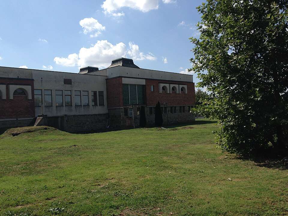
Obedinenie(Polski Trambesh 市镇)的照片
保加利亚 · 大特尔诺沃州
居民点
Obedinenie 是保加利亚大特尔诺沃州 Polski Trambesh 市镇的一处村庄。 EKATTE 代码:53014。海拔范围:50–99 米。 本资料依据官方《全国居民点登记册》编写。您可以在地图上查看位置,并将此地加入个人旅行路线。
查看详情图片来源: Vvalev · CC BY-SA 4.0 · 许可协议
查看位置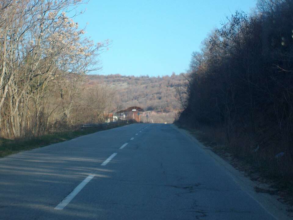
Obel(Blagoevgrad 市镇)的照片
保加利亚 · 布拉戈耶夫格勒州
居民点
Obel 是保加利亚布拉戈耶夫格勒州 Blagoevgrad 市镇的一处村庄。 EKATTE 代码:53031。海拔范围:700–999 米。 本资料依据官方《全国居民点登记册》编写。您可以在地图上查看位置,并将此地加入个人旅行路线。
查看详情图片来源: Youlyian Markov · CC BY 3.0 · 许可协议
查看位置Representative point of the settlement. Overview map; confirm the exact visiting address.
保加利亚 · 克尔贾利州
居民点
Obichnik 是保加利亚克尔贾利州 Momchilgrad 市镇的一处村庄。 EKATTE 代码:53076。海拔范围:500–699 米。 本资料依据官方《全国居民点登记册》编写。您可以在地图上查看位置,并将此地加入个人旅行路线。
查看详情Representative point of the settlement. Overview map; confirm the exact visiting address.
保加利亚 · 布拉戈耶夫格勒州
居民点
Obidim 是保加利亚布拉戈耶夫格勒州 Bansko 市镇的一处村庄。 EKATTE 代码:53059。海拔范围:≥ 1000 米。 本资料依据官方《全国居民点登记册》编写。您可以在地图上查看位置,并将此地加入个人旅行路线。
查看详情Representative point of the settlement. Overview map; confirm the exact visiting address.
保加利亚 · 特尔戈维什特州
居民点
Obitel 是保加利亚特尔戈维什特州 Omurtag 市镇的一处村庄。 EKATTE 代码:53062。海拔范围:300–499 米。 本资料依据官方《全国居民点登记册》编写。您可以在地图上查看位置,并将此地加入个人旅行路线。
查看详情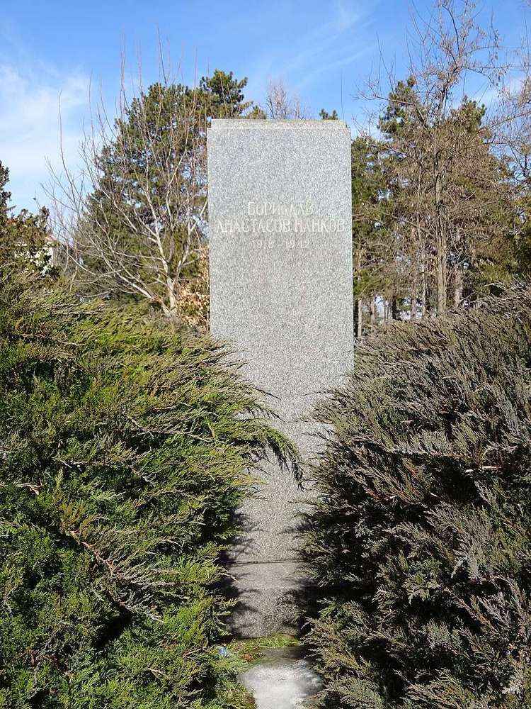
奥布诺瓦(Obnova,Levski 市镇)的照片
保加利亚 · 普列文州
居民点
奥布诺瓦是保加利亚普列文州 Levski 市镇的一处村庄。 EKATTE 代码:53089。海拔范围:50–99 米。 本资料依据官方《全国居民点登记册》编写。您可以在地图上查看位置,并将此地加入个人旅行路线。
查看详情图片来源: Ttaanya · CC BY-SA 4.0 · 许可协议
查看位置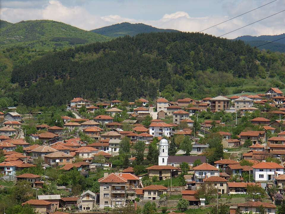
Oborishte(Panagyurishte 市镇)的照片
保加利亚 · 帕扎尔吉克州
居民点
Oborishte 是保加利亚帕扎尔吉克州 Panagyurishte 市镇的一处村庄。 EKATTE 代码:53103。海拔范围:500–699 米。 本资料依据官方《全国居民点登记册》编写。您可以在地图上查看位置,并将此地加入个人旅行路线。
查看详情图片来源: Gligan at English Wikipedia · CC BY 3.0 · 许可协议
查看位置Representative point of the settlement. Overview map; confirm the exact visiting address.
保加利亚 · 瓦尔纳州
居民点
Oborishte 是保加利亚瓦尔纳州 Valchi dol 市镇的一处村庄。 EKATTE 代码:53093。海拔范围:300–499 米。 本资料依据官方《全国居民点登记册》编写。您可以在地图上查看位置,并将此地加入个人旅行路线。
查看详情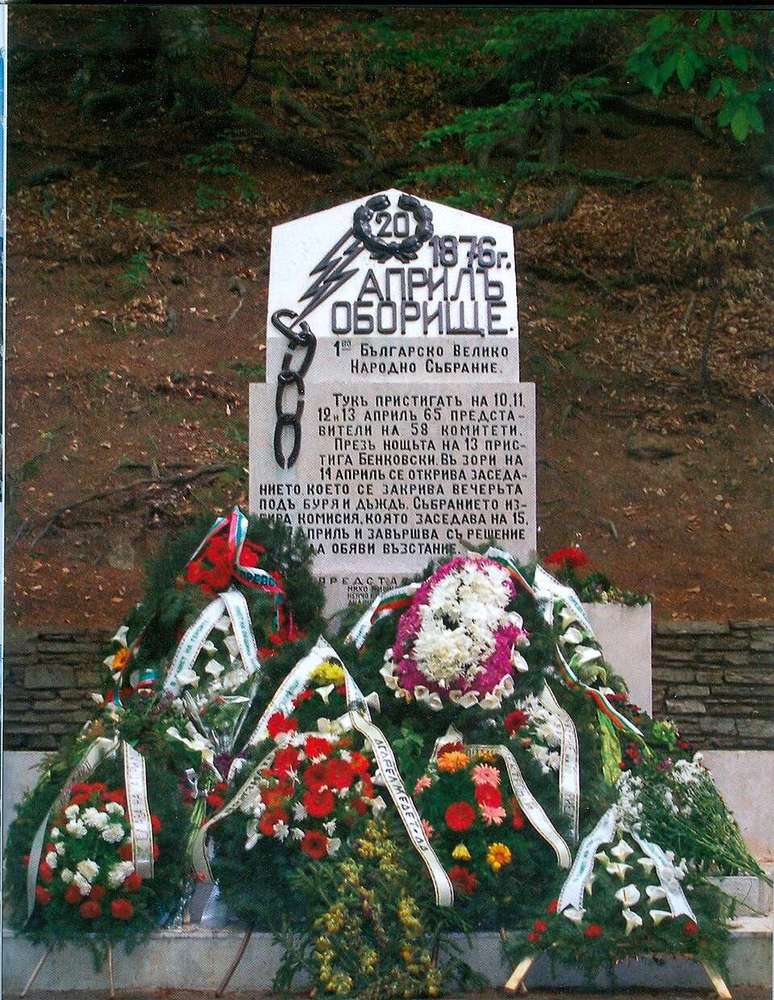
保加利亚 · 帕扎尔吉克州
历史与考古
在森林清理方面,代表们辩论了Georgi Benkovski领导的4月起义的领导和筹备工作。他们的名字在白石纪念碑上,纪念在这次集会上作出的集体决定。
查看详情图片来源: Vassto · CC BY-SA 3.0 · 许可协议
查看位置
Obretenik(Borovo 市镇)的照片
保加利亚 · 鲁塞州
居民点
Obretenik 是保加利亚鲁塞州 Borovo 市镇的一处村庄。 EKATTE 代码:53117。海拔范围:200–299 米。 本资料依据官方《全国居民点登记册》编写。您可以在地图上查看位置,并将此地加入个人旅行路线。
查看详情图片来源: Svilen1970 · CC BY-SA 4.0 · 许可协议
查看位置
奥布罗奇什泰(Obrochishte,Balchik 市镇)的照片
保加利亚 · 多布里奇州
居民点
奥布罗奇什泰是保加利亚多布里奇州 Balchik 市镇的一处村庄。 EKATTE 代码:53120。海拔范围:0–49 米。 本资料依据官方《全国居民点登记册》编写。您可以在地图上查看位置,并将此地加入个人旅行路线。
查看详情图片来源: Nikolai Karaneschev · CC BY 3.0 · 许可协议
查看位置Representative point of the settlement. Overview map; confirm the exact visiting address.
保加利亚 · 旧扎戈拉州
居民点
Obruchishte 是保加利亚旧扎戈拉州 Galabovo 市镇的一处村庄。 EKATTE 代码:53134。海拔范围:100–199 米。 本资料依据官方《全国居民点登记册》编写。您可以在地图上查看位置,并将此地加入个人旅行路线。
查看详情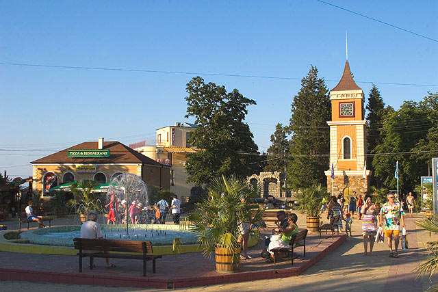
奥布佐尔(Obzor,Nesebar 市镇)的照片
保加利亚 · 布尔加斯州
居民点
奥布佐尔是保加利亚布尔加斯州 Nesebar 市镇的一处城市。 EKATTE 代码:53045。海拔范围:0–49 米。 本资料依据官方《全国居民点登记册》编写。您可以在地图上查看位置,并将此地加入个人旅行路线。
查看详情图片来源: Nadeto 890818 at Bulgarian Wikipedia · Public domain · 许可协议
查看位置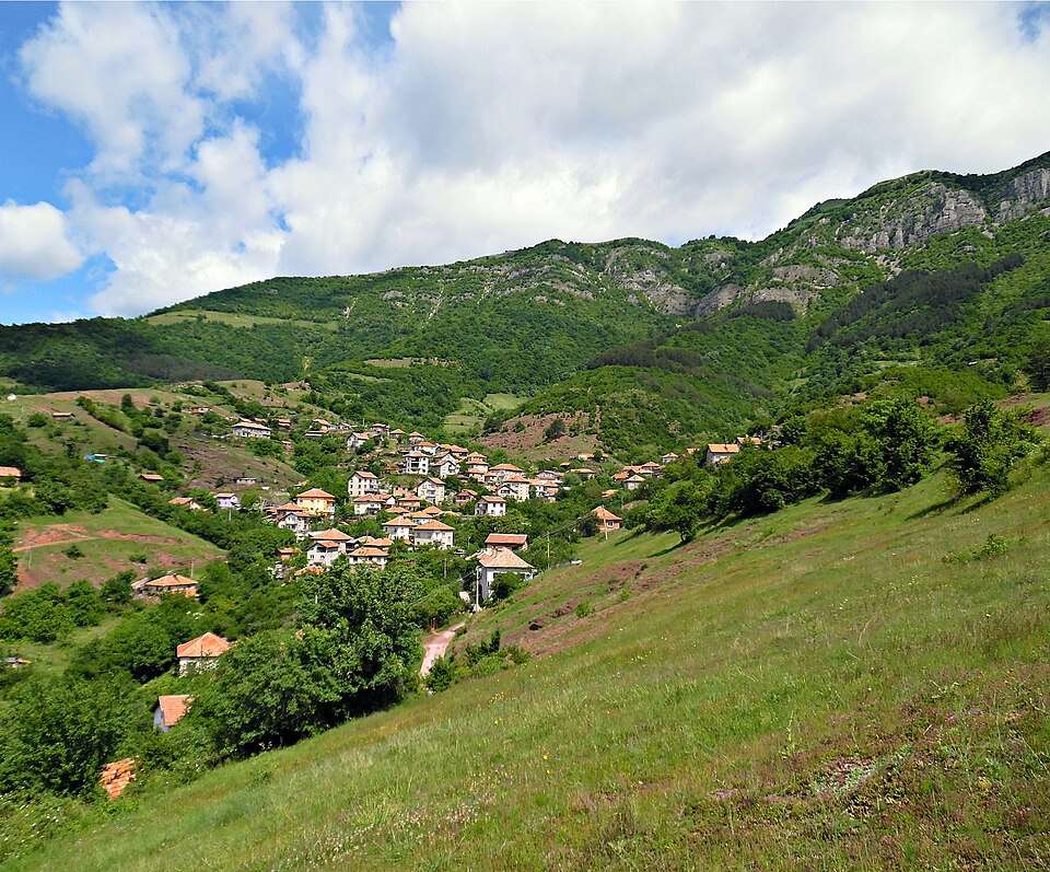
Ochindol(Mezdra 市镇)的照片
保加利亚 · 弗拉察州
居民点
Ochindol 是保加利亚弗拉察州 Mezdra 市镇的一处村庄。 EKATTE 代码:54506。海拔范围:500–699 米。 本资料依据官方《全国居民点登记册》编写。您可以在地图上查看位置,并将此地加入个人旅行路线。
查看详情图片来源: Grisha Levashki · CC BY-SA 4.0 · 许可协议
查看位置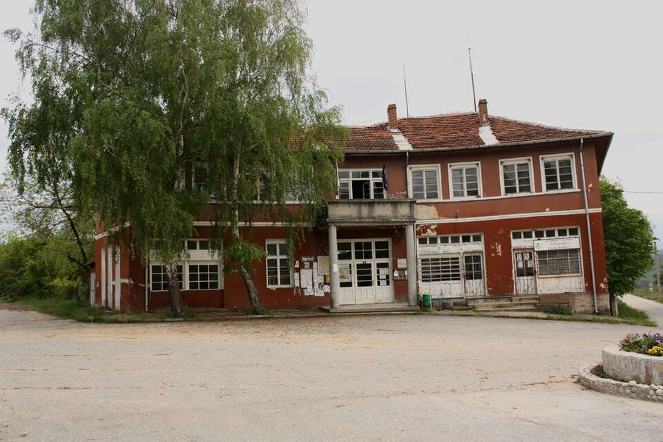
Ochusha(Kostenets 市镇)的照片
保加利亚 · 索菲亚州
居民点
Ochusha 是保加利亚索菲亚州 Kostenets 市镇的一处村庄。 EKATTE 代码:54554。海拔范围:700–999 米。 本资料依据官方《全国居民点登记册》编写。您可以在地图上查看位置,并将此地加入个人旅行路线。
查看详情图片来源: Edal Anton Lefterov · CC BY-SA 3.0 · 许可协议
查看位置Representative point of the settlement. Overview map; confirm the exact visiting address.
保加利亚 · 普列文州
居民点
Odarne 是保加利亚普列文州 Pordim 市镇的一处村庄。 EKATTE 代码:53446。海拔范围:100–199 米。 本资料依据官方《全国居民点登记册》编写。您可以在地图上查看位置,并将此地加入个人旅行路线。
查看详情Representative point of the settlement. Overview map; confirm the exact visiting address.
保加利亚 · 多布里奇州
居民点
Odartsi 是保加利亚多布里奇州 Dobrich-selska 市镇的一处村庄。 EKATTE 代码:53450。海拔范围:200–299 米。 本资料依据官方《全国居民点登记册》编写。您可以在地图上查看位置,并将此地加入个人旅行路线。
查看详情Representative point of the settlement. Overview map; confirm the exact visiting address.
保加利亚 · 蒙塔纳州
居民点
Odorovtsi 是保加利亚蒙塔纳州 Brusartsi 市镇的一处村庄。 EKATTE 代码:53401。海拔范围:200–299 米。 本资料依据官方《全国居民点登记册》编写。您可以在地图上查看位置,并将此地加入个人旅行路线。
查看详情Representative point of the settlement. Overview map; confirm the exact visiting address.
保加利亚 · 佩尔尼克州
居民点
Odranitsa 是保加利亚佩尔尼克州 Zemen 市镇的一处村庄。 EKATTE 代码:53415。海拔范围:700–999 米。 本资料依据官方《全国居民点登记册》编写。您可以在地图上查看位置,并将此地加入个人旅行路线。
查看详情Representative point of the settlement. Overview map; confirm the exact visiting address.
保加利亚 · 多布里奇州
居民点
Odrintsi 是保加利亚多布里奇州 Dobrich-selska 市镇的一处村庄。 EKATTE 代码:53432。海拔范围:100–199 米。 本资料依据官方《全国居民点登记册》编写。您可以在地图上查看位置,并将此地加入个人旅行路线。
查看详情Representative point of the settlement. Overview map; confirm the exact visiting address.
保加利亚 · 哈斯科沃州
居民点
Odrintsi 是保加利亚哈斯科沃州 Ivaylovgrad 市镇的一处村庄。 EKATTE 代码:53429。海拔范围:50–99 米。 本资料依据官方《全国居民点登记册》编写。您可以在地图上查看位置,并将此地加入个人旅行路线。
查看详情
土耳其
Odunpazará是爱斯基摩历史邻里。狭小的街道和传统房屋保留了它特有的城市建筑。 地图标记的是景点的大致位置,并非入口。是否安排游览及是否另行收费,以所选行程为准。预订前会确认能否参观。
查看详情图片来源: Global Tour · Natural Earth (public domain) · approximate area map · 许可协议
查看位置