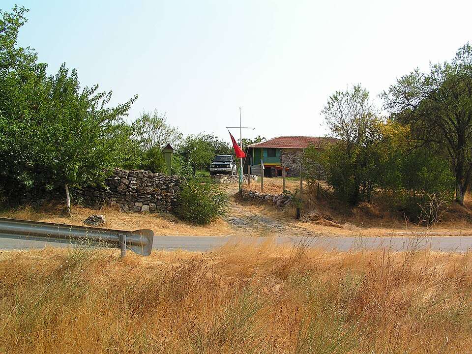
Omarchevo(Nova Zagora 市镇)的照片
保加利亚 · 斯利文州
居民点
Omarchevo(Nova Zagora 市镇)
Omarchevo 是保加利亚斯利文州 Nova Zagora 市镇的一处村庄。 EKATTE 代码:53518。海拔范围:100–199 米。 本资料依据官方《全国居民点登记册》编写。您可以在地图上查看位置,并将此地加入个人旅行路线。
查看详情图片来源: joosteto · CC BY 3.0 · 许可协议
查看位置
探索旅行路线上的自然景观、历史遗迹和文化景点。
景点目录持续更新。参观详情请查看景点页面中的来源链接。
保加利亚居民点 · 5,256找到景点: 5893 · 显示第 3,481–3,504 项,共 5,893 · 页 146 / 246
Omarchevo(Nova Zagora 市镇)的照片
保加利亚 · 斯利文州
居民点
Omarchevo 是保加利亚斯利文州 Nova Zagora 市镇的一处村庄。 EKATTE 代码:53518。海拔范围:100–199 米。 本资料依据官方《全国居民点登记册》编写。您可以在地图上查看位置,并将此地加入个人旅行路线。
查看详情图片来源: joosteto · CC BY 3.0 · 许可协议
查看位置
希腊
通往历史古迹的学院、大学和国家图书馆大楼的城市路线。 是否安排游览及是否另行收费,以所选行程为准。请通过官方渠道确认当前的开放情况和时间。地图标记的是景点的大致位置,并非入口。
查看详情图片来源: Global Tour · Natural Earth (public domain) · approximate area map · 许可协议
查看位置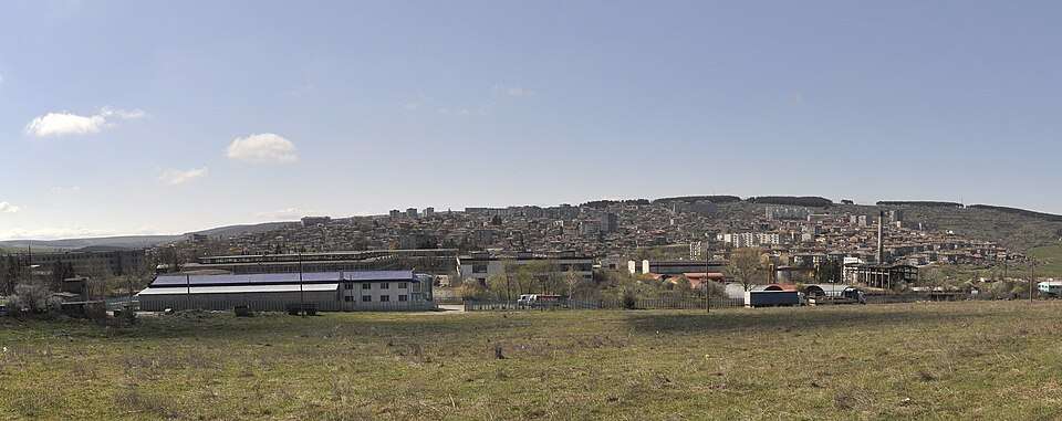
Omurtag(Omurtag 市镇)的照片
保加利亚 · 特尔戈维什特州
居民点
Omurtag 是保加利亚特尔戈维什特州 Omurtag 市镇的一处城市。 EKATTE 代码:53535。海拔范围:500–699 米。该地是市镇行政中心。 本资料依据官方《全国居民点登记册》编写。您可以在地图上查看位置,并将此地加入个人旅行路线。
查看详情图片来源: Plamen Agov • studiolemontree.com · CC BY-SA 3.0 · 许可协议
查看位置
土耳其
Gözlü是位于迪亚尔巴克尔附近底格里斯河的一座历史性石桥。其名称指该结构的十座拱门。 地图标记的是景点的大致位置,并非入口。是否安排游览及是否另行收费,以所选行程为准。预订前会确认能否参观。
查看详情图片来源: Global Tour · Natural Earth (public domain) · approximate area map · 许可协议
查看位置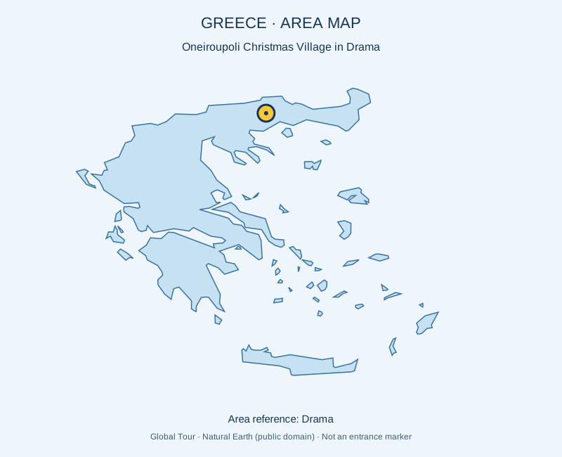
希腊
在戏剧场举办圣诞节季节性活动,举行装饰、活动和节日表演。 是否安排游览及是否另行收费,以所选行程为准。请通过官方渠道确认当前的开放情况和时间。地图标记的是景点的大致位置,并非入口。
查看详情图片来源: Global Tour · Natural Earth (public domain) · approximate area map · 许可协议
查看位置
Onogur(Tervel 市镇)的照片
保加利亚 · 多布里奇州
居民点
Onogur 是保加利亚多布里奇州 Tervel 市镇的一处村庄。 EKATTE 代码:53549。海拔范围:100–199 米。 本资料依据官方《全国居民点登记册》编写。您可以在地图上查看位置,并将此地加入个人旅行路线。
查看详情图片来源: Камен Ханджиев · CC BY-SA 4.0 · 许可协议
查看位置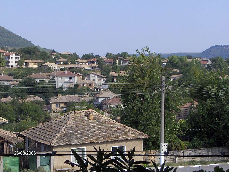
Opaka(Opaka 市镇)的照片
保加利亚 · 特尔戈维什特州
居民点
Opaka 是保加利亚特尔戈维什特州 Opaka 市镇的一处城市。 EKATTE 代码:53552。海拔范围:100–199 米。该地是市镇行政中心。 本资料依据官方《全国居民点登记册》编写。您可以在地图上查看位置,并将此地加入个人旅行路线。
查看详情图片来源: Krisitop at Bulgarian Wikipedia · Public domain · 许可协议
查看位置Representative point of the settlement. Overview map; confirm the exact visiting address.
保加利亚 · 旧扎戈拉州
居民点
Opalchenets 是保加利亚旧扎戈拉州 Bratya Daskalovi 市镇的一处村庄。 EKATTE 代码:53624。海拔范围:100–199 米。 本资料依据官方《全国居民点登记册》编写。您可以在地图上查看位置,并将此地加入个人旅行路线。
查看详情Representative point of the settlement. Overview map; confirm the exact visiting address.
保加利亚 · 克尔贾利州
居民点
Opalchensko 是保加利亚克尔贾利州 Kardzhali 市镇的一处村庄。 EKATTE 代码:53638。海拔范围:300–499 米。 本资料依据官方《全国居民点登记册》编写。您可以在地图上查看位置,并将此地加入个人旅行路线。
查看详情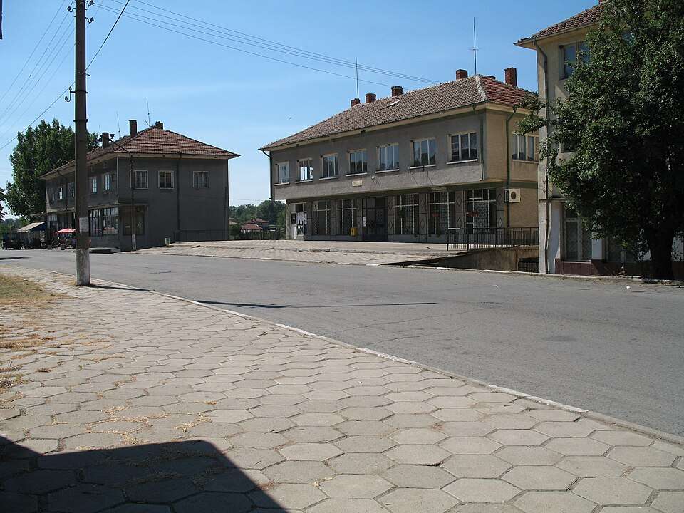
Opan(Opan 市镇)的照片
保加利亚 · 旧扎戈拉州
居民点
Opan 是保加利亚旧扎戈拉州 Opan 市镇的一处村庄。 EKATTE 代码:53576。海拔范围:100–199 米。该地是市镇行政中心。 本资料依据官方《全国居民点登记册》编写。您可以在地图上查看位置,并将此地加入个人旅行路线。
查看详情图片来源: L33tWildAnimal · CC0 · 许可协议
查看位置Representative point of the settlement. Overview map; confirm the exact visiting address.
保加利亚 · 多布里奇州
居民点
Opanets 是保加利亚多布里奇州 Dobrich-selska 市镇的一处村庄。 EKATTE 代码:53597。海拔范围:200–299 米。 本资料依据官方《全国居民点登记册》编写。您可以在地图上查看位置,并将此地加入个人旅行路线。
查看详情Representative point of the settlement. Overview map; confirm the exact visiting address.
保加利亚 · 普列文州
居民点
Opanets 是保加利亚普列文州 Pleven 市镇的一处村庄。 EKATTE 代码:53583。海拔范围:100–199 米。 本资料依据官方《全国居民点登记册》编写。您可以在地图上查看位置,并将此地加入个人旅行路线。
查看详情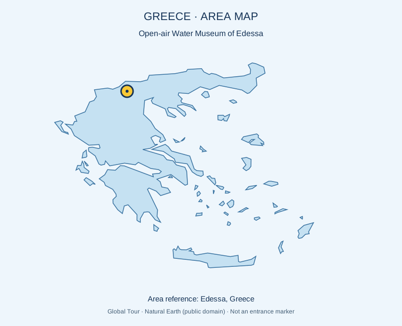
希腊
环绕历史水厂的露天博物馆解释该市用水情况。 是否安排游览及是否另行收费,以所选行程为准。请通过官方渠道确认当前的开放情况和时间。地图标记的是景点的大致位置,并非入口。
查看详情图片来源: Global Tour · Natural Earth (public domain) · approximate area map · 许可协议
查看位置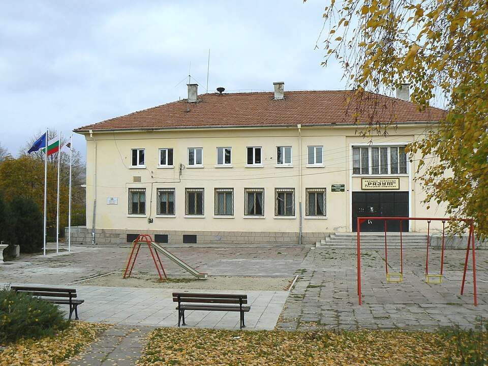
Opitsvet(Kostinbrod 市镇)的照片
保加利亚 · 索菲亚州
居民点
Opitsvet 是保加利亚索菲亚州 Kostinbrod 市镇的一处村庄。 EKATTE 代码:53607。海拔范围:500–699 米。 本资料依据官方《全国居民点登记册》编写。您可以在地图上查看位置,并将此地加入个人旅行路线。
查看详情图片来源: Spiritia · CC BY-SA 3.0 · 许可协议
查看位置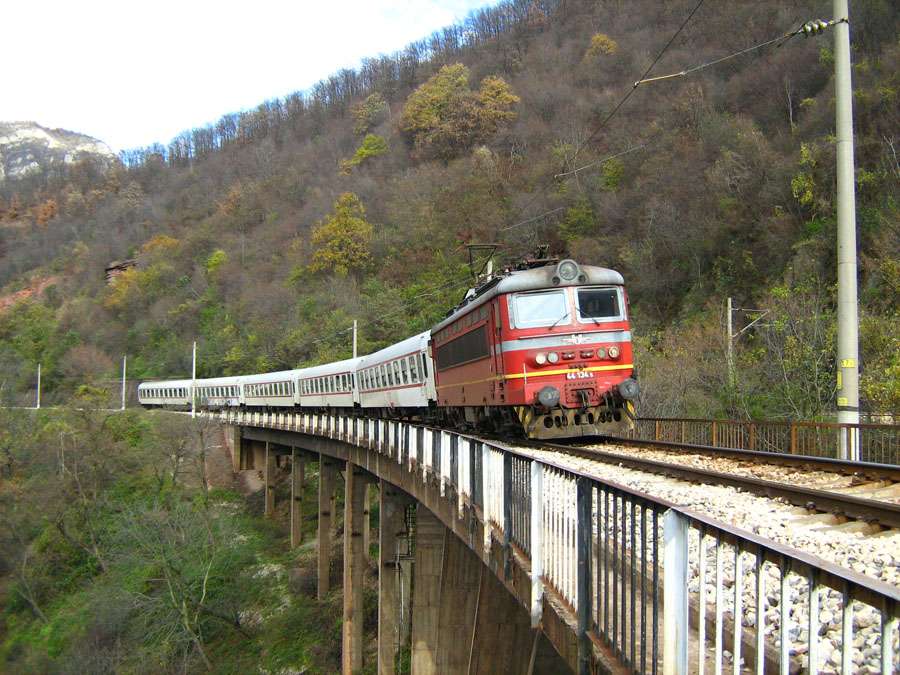
Opletnya(Svoge 市镇)的照片
保加利亚 · 索菲亚州
居民点
Opletnya 是保加利亚索菲亚州 Svoge 市镇的一处村庄。 EKATTE 代码:53610。海拔范围:300–499 米。 本资料依据官方《全国居民点登记册》编写。您可以在地图上查看位置,并将此地加入个人旅行路线。
查看详情图片来源: Casual14 · Public domain · 许可协议
查看位置Representative point of the settlement. Overview map; confirm the exact visiting address.
保加利亚 · 特尔戈维什特州
居民点
Orach 是保加利亚特尔戈维什特州 Antonovo 市镇的一处村庄。 EKATTE 代码:53641。海拔范围:300–499 米。 本资料依据官方《全国居民点登记册》编写。您可以在地图上查看位置,并将此地加入个人旅行路线。
查看详情Representative point of the settlement. Overview map; confirm the exact visiting address.
保加利亚 · 克尔贾利州
居民点
Oreh 是保加利亚克尔贾利州 Krumovgrad 市镇的一处村庄。 EKATTE 代码:54821。海拔范围:300–499 米。 本资料依据官方《全国居民点登记册》编写。您可以在地图上查看位置,并将此地加入个人旅行路线。
查看详情Representative point of the settlement. Overview map; confirm the exact visiting address.
保加利亚 · 普列文州
居民点
Orehovitsa 是保加利亚普列文州 Dolna Mitropolia 市镇的一处村庄。 EKATTE 代码:53655。海拔范围:0–49 米。 本资料依据官方《全国居民点登记册》编写。您可以在地图上查看位置,并将此地加入个人旅行路线。
查看详情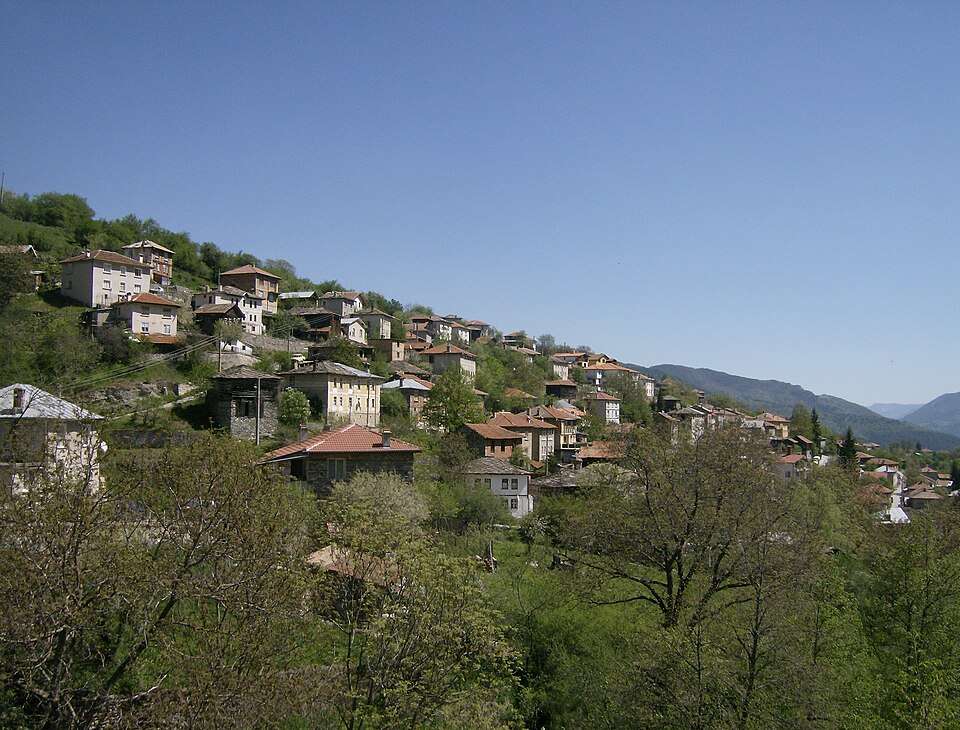
保加利亚 · 斯莫梁州
建筑与聚落
Rodopsko Badeshte社区中心的历史和人种学收藏展示了20世纪中叶使用的工具和家用物品。它保留日常生活和地方传统职业的物质痕迹。
查看详情图片来源: Izvora · Public domain · 许可协议
查看位置Representative point of the settlement. Overview map; confirm the exact visiting address.
保加利亚 · 大特尔诺沃州
居民点
Oresh 是保加利亚大特尔诺沃州 Svishtov 市镇的一处村庄。 EKATTE 代码:53672。海拔范围:50–99 米。 本资料依据官方《全国居民点登记册》编写。您可以在地图上查看位置,并将此地加入个人旅行路线。
查看详情
保加利亚 · 洛维奇州
建筑与聚落
拥有的物品包括陶瓷、木雕、艺术金属制品和纺织品。国际展览期间外国艺术家的礼物增加了一种比较观点,显示了保加利亚手工艺传统与其他艺术文化之间的联系。
查看详情图片来源: Izvora · CC0 1.0 · 许可协议
查看位置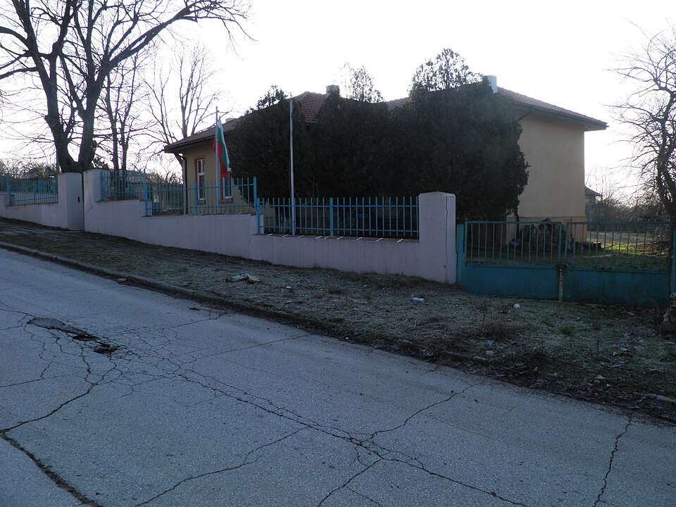
Oreshak(Aksakovo 市镇)的照片
保加利亚 · 瓦尔纳州
居民点
Oreshak 是保加利亚瓦尔纳州 Aksakovo 市镇的一处村庄。 EKATTE 代码:53691。海拔范围:300–499 米。 本资料依据官方《全国居民点登记册》编写。您可以在地图上查看位置,并将此地加入个人旅行路线。
查看详情图片来源: Powerfox · CC BY-SA 4.0 · 许可协议
查看位置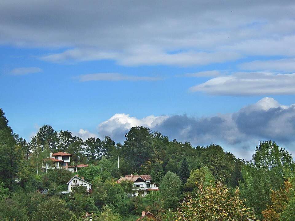
Oreshak(Troyan 市镇)的照片
保加利亚 · 洛维奇州
居民点
Oreshak 是保加利亚洛维奇州 Troyan 市镇的一处村庄。 EKATTE 代码:53707。海拔范围:500–699 米。 本资料依据官方《全国居民点登记册》编写。您可以在地图上查看位置,并将此地加入个人旅行路线。
查看详情图片来源: Boby Dimitrov from Sofia, Bulgaria · CC BY-SA 2.0 · 许可协议
查看位置Representative point of the settlement. Overview map; confirm the exact visiting address.
保加利亚 · 克尔贾利州
居民点
Oreshari 是保加利亚克尔贾利州 Krumovgrad 市镇的一处村庄。 EKATTE 代码:53713。海拔范围:300–499 米。 本资料依据官方《全国居民点登记册》编写。您可以在地图上查看位置,并将此地加入个人旅行路线。
查看详情