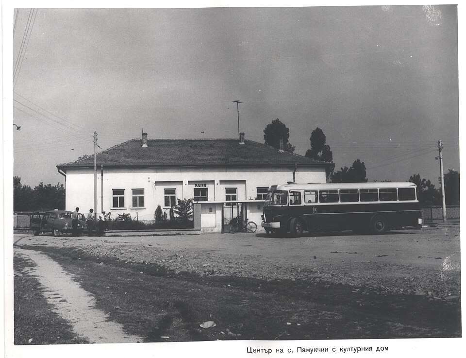
Pamukchii(Stara Zagora 市镇)的历史照片
保加利亚 · 旧扎戈拉州
居民点
Pamukchii(Stara Zagora 市镇)
Pamukchii 是保加利亚旧扎戈拉州 Stara Zagora 市镇的一处村庄。 EKATTE 代码:55289。海拔范围:100–199 米。 本资料依据官方《全国居民点登记册》编写。您可以在地图上查看位置,并将此地加入个人旅行路线。
查看详情图片来源: Росен Русев · Public domain · 许可协议
查看位置
探索旅行路线上的自然景观、历史遗迹和文化景点。
景点目录持续更新。参观详情请查看景点页面中的来源链接。
保加利亚居民点 · 5,256找到景点: 5893 · 显示第 3,625–3,648 项,共 5,893 · 页 152 / 246
Pamukchii(Stara Zagora 市镇)的历史照片
保加利亚 · 旧扎戈拉州
居民点
Pamukchii 是保加利亚旧扎戈拉州 Stara Zagora 市镇的一处村庄。 EKATTE 代码:55289。海拔范围:100–199 米。 本资料依据官方《全国居民点登记册》编写。您可以在地图上查看位置,并将此地加入个人旅行路线。
查看详情图片来源: Росен Русев · Public domain · 许可协议
查看位置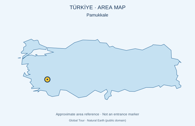
土耳其
Pamukkale是Denizli省的一个自然里程碑。其白色环流梯田由热水矿藏形成。 地图标记的是景点的大致位置,并非入口。是否安排游览及是否另行收费,以所选行程为准。预订前会确认能否参观。
查看详情图片来源: Global Tour · Natural Earth (public domain) · approximate area map · 许可协议
查看位置
希腊
在莱夫卡达镇上方的东正教修道院,是该岛重要的宗教场所之一。 是否安排游览及是否另行收费,以所选行程为准。请通过官方渠道确认当前的开放情况和时间。地图标记的是景点的大致位置,并非入口。
查看详情图片来源: Global Tour · Natural Earth (public domain) · approximate area map · 许可协议
查看位置
希腊
半岛的旧区将传统房屋、狭窄小道和Panagia教堂合二为一。 是否安排游览及是否另行收费,以所选行程为准。请通过官方渠道确认当前的开放情况和时间。地图标记的是景点的大致位置,并非入口。
查看详情图片来源: Global Tour · Natural Earth (public domain) · approximate area map · 许可协议
查看位置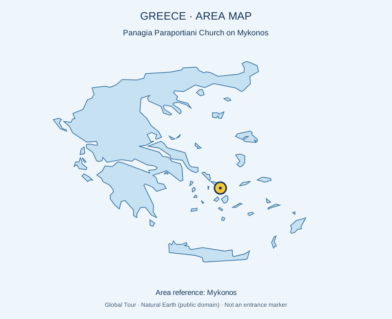
希腊
在Chora历史悠久的Kastro区 白洗教堂建筑群 是否安排游览及是否另行收费,以所选行程为准。请通过官方渠道确认当前的开放情况和时间。地图标记的是景点的大致位置,并非入口。
查看详情图片来源: Global Tour · Natural Earth (public domain) · approximate area map · 许可协议
查看位置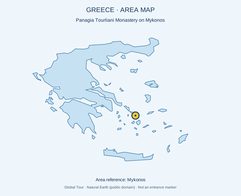
希腊
阿诺梅拉的东正教修道院,以其雕刻木制室内装饰而闻名。 是否安排游览及是否另行收费,以所选行程为准。请通过官方渠道确认当前的开放情况和时间。地图标记的是景点的大致位置,并非入口。
查看详情图片来源: Global Tour · Natural Earth (public domain) · approximate area map · 许可协议
查看位置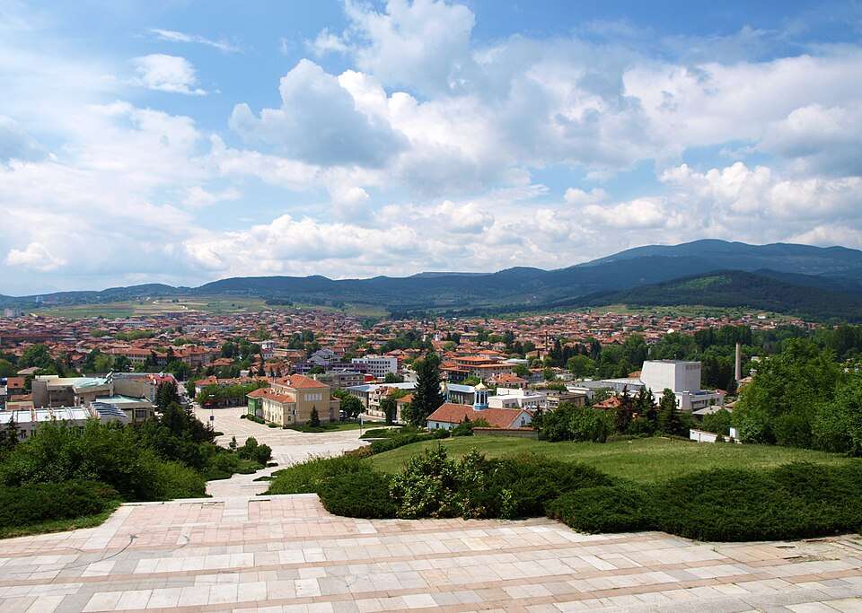
Panagyurishte(Panagyurishte 市镇)的照片
保加利亚 · 帕扎尔吉克州
居民点
Panagyurishte 是保加利亚帕扎尔吉克州 Panagyurishte 市镇的一处城市。 EKATTE 代码:55302。海拔范围:500–699 米。该地是市镇行政中心。 本资料依据官方《全国居民点登记册》编写。您可以在地图上查看位置,并将此地加入个人旅行路线。
查看详情图片来源: Edal Anton Lefterov · CC BY-SA 3.0 · 许可协议
查看位置
Panagyurski kolonii(Panagyurishte 市镇)的照片
保加利亚 · 帕扎尔吉克州
居民点
Panagyurski kolonii 是保加利亚帕扎尔吉克州 Panagyurishte 市镇的一处村庄。 EKATTE 代码:59375。海拔范围:500–699 米。 本资料依据官方《全国居民点登记册》编写。您可以在地图上查看位置,并将此地加入个人旅行路线。
查看详情图片来源: Bollweevil · CC BY-SA 4.0 · 许可协议
查看位置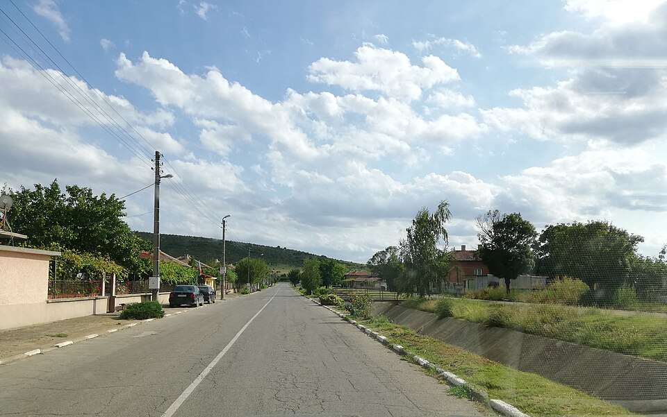
Panaretovtsi(Sliven 市镇)的照片
保加利亚 · 斯利文州
居民点
Panaretovtsi 是保加利亚斯利文州 Sliven 市镇的一处村庄。 EKATTE 代码:55333。海拔范围:100–199 米。 本资料依据官方《全国居民点登记册》编写。您可以在地图上查看位置,并将此地加入个人旅行路线。
查看详情图片来源: Litev · CC BY-SA 4.0 · 许可协议
查看位置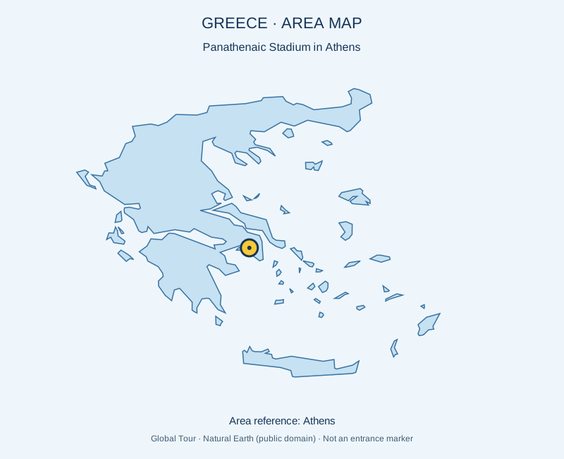
希腊
1896年第一次现代奥林匹克运动会的大理石体育场。 是否安排游览及是否另行收费,以所选行程为准。请通过官方渠道确认当前的开放情况和时间。地图标记的是景点的大致位置,并非入口。
查看详情图片来源: Global Tour · Natural Earth (public domain) · approximate area map · 许可协议
查看位置Representative point of the settlement. Overview map; confirm the exact visiting address.
保加利亚 · 特尔戈维什特州
居民点
Panayot Hitovo 是保加利亚特尔戈维什特州 Omurtag 市镇的一处村庄。 EKATTE 代码:55327。海拔范围:300–499 米。 本资料依据官方《全国居民点登记册》编写。您可以在地图上查看位置,并将此地加入个人旅行路线。
查看详情Representative point of the settlement. Overview map; confirm the exact visiting address.
保加利亚 · 舒门州
居民点
Panayot Volovo 是保加利亚舒门州 Shumen 市镇的一处村庄。 EKATTE 代码:55316。海拔范围:200–299 米。 本资料依据官方《全国居民点登记册》编写。您可以在地图上查看位置,并将此地加入个人旅行路线。
查看详情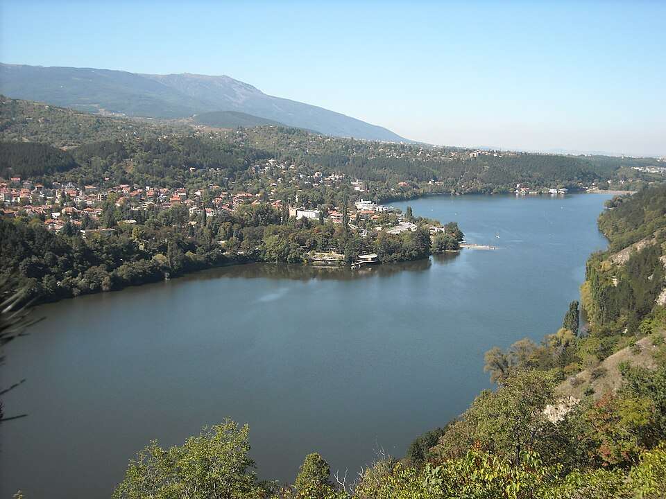
Pancharevo(Stolichna 市镇)的照片
保加利亚 · 索菲亚市
居民点
Pancharevo 是保加利亚索菲亚市 Stolichna 市镇的一处村庄。 EKATTE 代码:55419。海拔范围:500–699 米。 本资料依据官方《全国居民点登记册》编写。您可以在地图上查看位置,并将此地加入个人旅行路线。
查看详情图片来源: Kralowec · Public domain · 许可协议
查看位置Representative point of the settlement. Overview map; confirm the exact visiting address.
保加利亚 · 克尔贾利州
居民点
Panchevo 是保加利亚克尔贾利州 Kardzhali 市镇的一处村庄。 EKATTE 代码:55422。海拔范围:300–499 米。 本资料依据官方《全国居民点登记册》编写。您可以在地图上查看位置,并将此地加入个人旅行路线。
查看详情Representative point of the settlement. Overview map; confirm the exact visiting address.
保加利亚 · 布尔加斯州
居民点
Panchevo 是保加利亚布尔加斯州 Sredets 市镇的一处村庄。 EKATTE 代码:59015。海拔范围:100–199 米。 本资料依据官方《全国居民点登记册》编写。您可以在地图上查看位置,并将此地加入个人旅行路线。
查看详情Representative point of the settlement. Overview map; confirm the exact visiting address.
保加利亚 · 丘斯滕迪尔州
居民点
Panicharevo 是保加利亚丘斯滕迪尔州 Bobov dol 市镇的一处村庄。 EKATTE 代码:55364。海拔范围:500–699 米。 本资料依据官方《全国居民点登记册》编写。您可以在地图上查看位置,并将此地加入个人旅行路线。
查看详情
Panicherevo(Gurkovo 市镇)的照片
保加利亚 · 旧扎戈拉州
居民点
Panicherevo 是保加利亚旧扎戈拉州 Gurkovo 市镇的一处村庄。 EKATTE 代码:22767。海拔范围:200–299 米。 本资料依据官方《全国居民点登记册》编写。您可以在地图上查看位置,并将此地加入个人旅行路线。
查看详情图片来源: Berchaf · CC BY-SA 3.0 · 许可协议
查看位置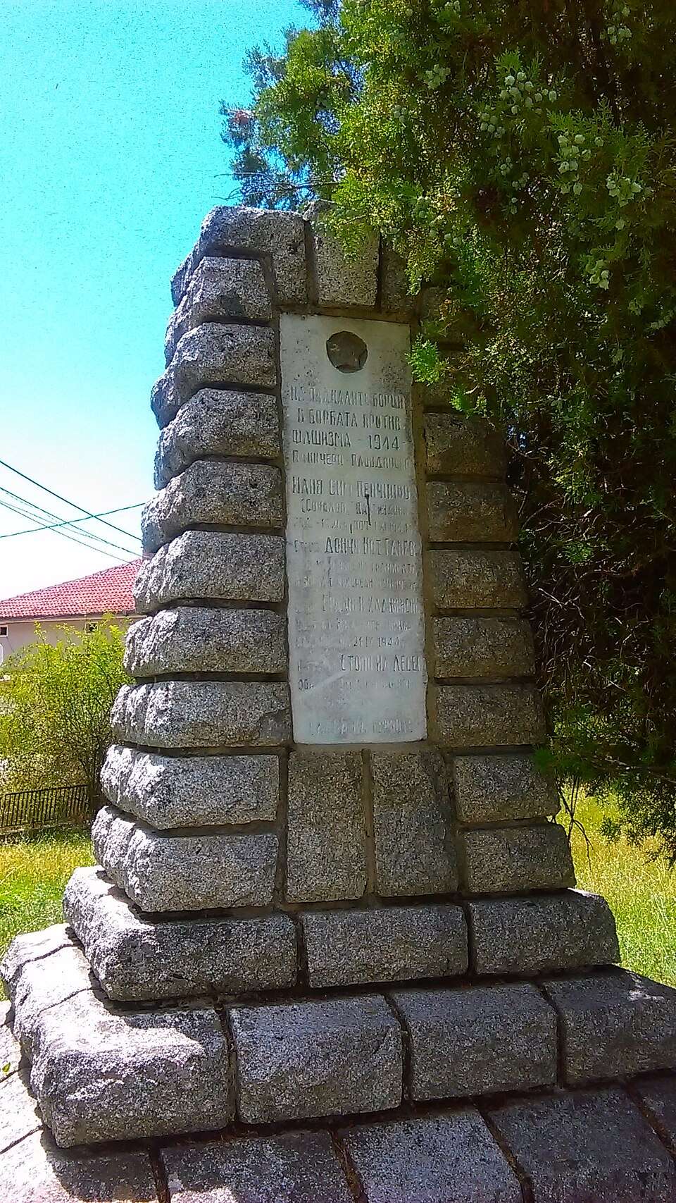
Panicheri(Hisarya 市镇)的照片
保加利亚 · 普罗夫迪夫州
居民点
Panicheri 是保加利亚普罗夫迪夫州 Hisarya 市镇的一处村庄。 EKATTE 代码:55378。海拔范围:300–499 米。 本资料依据官方《全国居民点登记册》编写。您可以在地图上查看位置,并将此地加入个人旅行路线。
查看详情图片来源: Litev · CC BY-SA 4.0 · 许可协议
查看位置Representative point of the settlement. Overview map; confirm the exact visiting address.
保加利亚 · 特尔戈维什特州
居民点
Panichino 是保加利亚特尔戈维什特州 Omurtag 市镇的一处村庄。 EKATTE 代码:55381。海拔范围:500–699 米。 本资料依据官方《全国居民点登记册》编写。您可以在地图上查看位置,并将此地加入个人旅行路线。
查看详情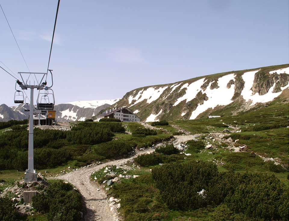
Panichishte(Sapareva banya 市镇)的照片
保加利亚 · 丘斯滕迪尔州
居民点
Panichishte 是保加利亚丘斯滕迪尔州 Sapareva banya 市镇的一处村庄。 EKATTE 代码:59358。海拔范围:700–999 米。 本资料依据官方《全国居民点登记册》编写。您可以在地图上查看位置,并将此地加入个人旅行路线。
查看详情图片来源: Edal Anton Lefterov · CC BY-SA 3.0 · 许可协议
查看位置Representative point of the settlement. Overview map; confirm the exact visiting address.
保加利亚 · 克尔贾利州
居民点
Panichkovo 是保加利亚克尔贾利州 Chernoochene 市镇的一处村庄。 EKATTE 代码:55395。海拔范围:700–999 米。 本资料依据官方《全国居民点登记册》编写。您可以在地图上查看位置,并将此地加入个人旅行路线。
查看详情Representative point of the settlement. Overview map; confirm the exact visiting address.
保加利亚 · 布尔加斯州
居民点
Panitsovo 是保加利亚布尔加斯州 Nesebar 市镇的一处村庄。 EKATTE 代码:55350。海拔范围:200–299 米。 本资料依据官方《全国居民点登记册》编写。您可以在地图上查看位置,并将此地加入个人旅行路线。
查看详情Representative point of the settlement. Overview map; confirm the exact visiting address.
保加利亚 · 索菲亚州
居民点
Panovtsi 是保加利亚索菲亚州 Ihtiman 市镇的一处村庄。 EKATTE 代码:55405。海拔范围:700–999 米。 本资料依据官方《全国居民点登记册》编写。您可以在地图上查看位置,并将此地加入个人旅行路线。
查看详情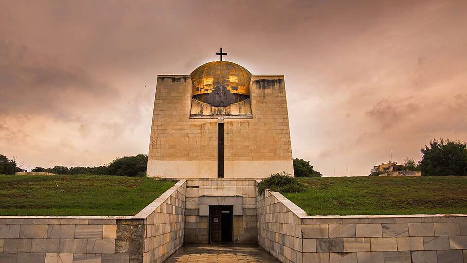
保加利亚 · 鲁塞州
历史与考古
潘席恩号建在鲁斯的旧公墓上 将一个骨骼和纪念团合起来荣誉人士包括Lyuben Karavelov、Zahari Stoyanov和Obretenov家族;为纪念馆提供文件展。
查看详情图片来源: ANUBIS76 · CC BY-SA 4.0 · 许可协议
查看位置