旅游景点

探索旅行路线上的自然景观、历史遗迹和文化景点。

景点目录持续更新。参观详情请查看景点页面中的来源链接。

保加利亚居民点 · 5,256

找到景点: 5893 · 显示第 1,657–1,680 项,共 5,893 · 页 70 / 246

Map of Bulgaria with a marker for Golem Tsalim(Sandanski 市镇)Representative point of the settlement. Overview map; confirm the exact visiting address.LOCATION · BULGARIAGolem Tsalim(Sandanski 市镇)NRepresentative point of the settlementMap: Global Tour · Outline: Natural Earth

Representative point of the settlement. Overview map; confirm the exact visiting address.

保加利亚 · 布拉戈耶夫格勒州

居民点

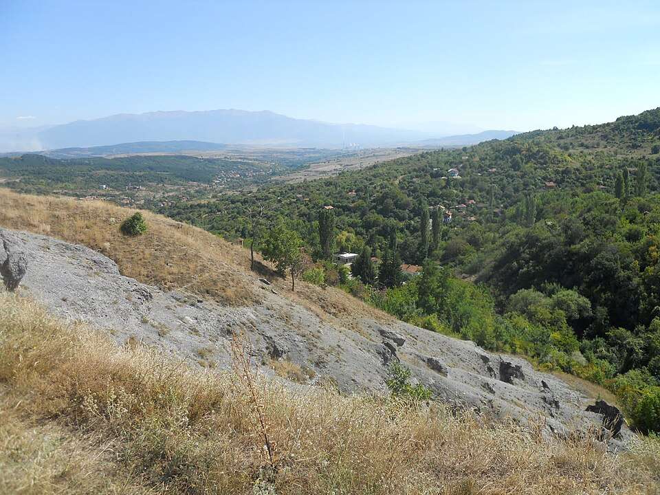
Golem Tsalim(Sandanski 市镇)

Golem Tsalim 是保加利亚布拉戈耶夫格勒州 Sandanski 市镇的一处村庄。 EKATTE 代码:15549。海拔范围:700–999 米。 本资料依据官方《全国居民点登记册》编写。您可以在地图上查看位置,并将此地加入个人旅行路线。

查看详情
查看位置

Golema Rakovitsa(Elin Pelin 市镇)的照片

Golema Rakovitsa(Elin Pelin 市镇)的照片

保加利亚 · 索菲亚州

居民点

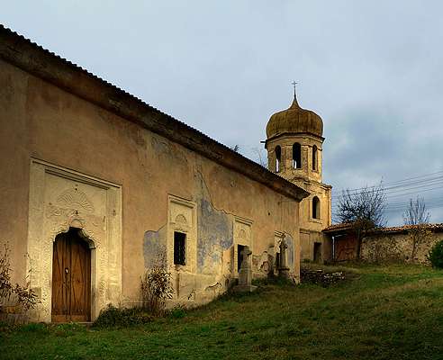
Golema Rakovitsa(Elin Pelin 市镇)

Golema Rakovitsa 是保加利亚索菲亚州 Elin Pelin 市镇的一处村庄。 EKATTE 代码:15432。海拔范围:500–699 米。 本资料依据官方《全国居民点登记册》编写。您可以在地图上查看位置,并将此地加入个人旅行路线。

查看详情

图片来源: Plamen Agov • studiolemontree.com · CC BY-SA 3.0 · 许可协议

查看位置

Map of Bulgaria with a marker for Golemani(Elena 市镇)Representative point of the settlement. Overview map; confirm the exact visiting address.LOCATION · BULGARIAGolemani(Elena 市镇)NRepresentative point of the settlementMap: Global Tour · Outline: Natural Earth

Representative point of the settlement. Overview map; confirm the exact visiting address.

保加利亚 · 大特尔诺沃州

居民点

Golemani(Elena 市镇)

Golemani 是保加利亚大特尔诺沃州 Elena 市镇的一处村庄。 EKATTE 代码:15391。海拔范围:300–499 米。 本资料依据官方《全国居民点登记册》编写。您可以在地图上查看位置,并将此地加入个人旅行路线。

查看详情
查看位置

Map of Bulgaria with a marker for Golemanite(Veliko Tarnovo 市镇)Representative point of the settlement. Overview map; confirm the exact visiting address.LOCATION · BULGARIAGolemanite(Veliko Tarnovo 市镇)NRepresentative point of the settlementMap: Global Tour · Outline: Natural Earth

Representative point of the settlement. Overview map; confirm the exact visiting address.

保加利亚 · 大特尔诺沃州

居民点

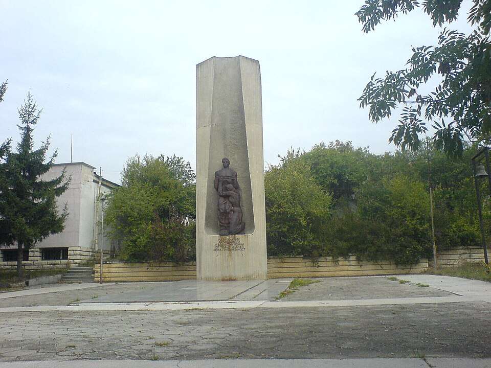
Golemanite(Veliko Tarnovo 市镇)

Golemanite 是保加利亚大特尔诺沃州 Veliko Tarnovo 市镇的一处村庄。 EKATTE 代码:15401。海拔范围:300–499 米。 本资料依据官方《全国居民点登记册》编写。您可以在地图上查看位置,并将此地加入个人旅行路线。

查看详情
查看位置

Map of Bulgaria with a marker for Golemanovo(Kula 市镇)Representative point of the settlement. Overview map; confirm the exact visiting address.LOCATION · BULGARIAGolemanovo(Kula 市镇)NRepresentative point of the settlementMap: Global Tour · Outline: Natural Earth

Representative point of the settlement. Overview map; confirm the exact visiting address.

保加利亚 · 维丁州

居民点

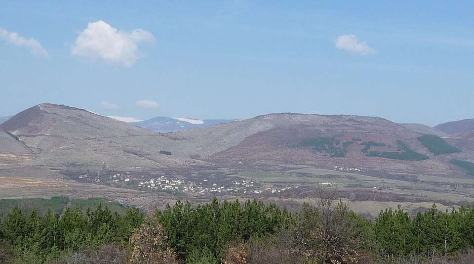
Golemanovo(Kula 市镇)

Golemanovo 是保加利亚维丁州 Kula 市镇的一处村庄。 EKATTE 代码:15415。海拔范围:300–499 米。 本资料依据官方《全国居民点登记册》编写。您可以在地图上查看位置,并将此地加入个人旅行路线。

查看详情
查看位置

Map of Bulgaria with a marker for Golemantsi(Haskovo 市镇)Representative point of the settlement. Overview map; confirm the exact visiting address.LOCATION · BULGARIAGolemantsi(Haskovo 市镇)NRepresentative point of the settlementMap: Global Tour · Outline: Natural Earth

Representative point of the settlement. Overview map; confirm the exact visiting address.

保加利亚 · 哈斯科沃州

居民点

Golemantsi(Haskovo 市镇)

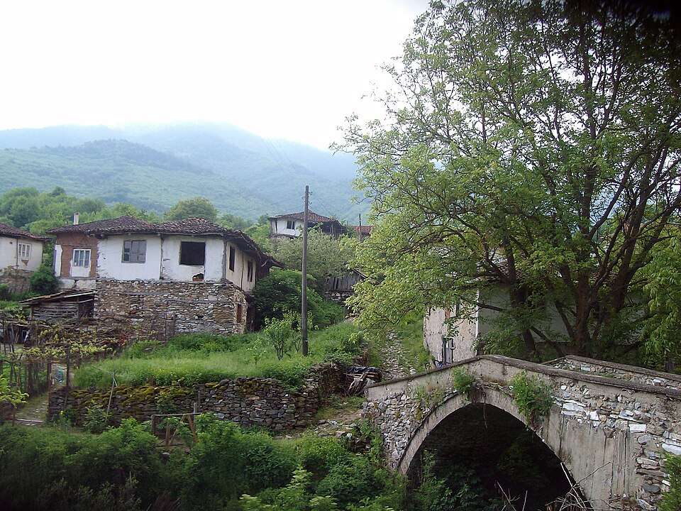
Golemantsi 是保加利亚哈斯科沃州 Haskovo 市镇的一处村庄。 EKATTE 代码:15429。海拔范围:200–299 米。 本资料依据官方《全国居民点登记册》编写。您可以在地图上查看位置,并将此地加入个人旅行路线。

查看详情
查看位置

Map of Bulgaria with a marker for Golemi Balgareni(Dryanovo 市镇)Representative point of the settlement. Overview map; confirm the exact visiting address.LOCATION · BULGARIAGolemi Balgareni(Dryanovo 市镇)NRepresentative point of the settlementMap: Global Tour · Outline: Natural Earth

Representative point of the settlement. Overview map; confirm the exact visiting address.

保加利亚 · 加布罗沃州

居民点

Golemi Balgareni(Dryanovo 市镇)

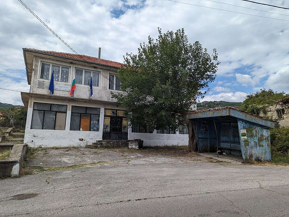
Golemi Balgareni 是保加利亚加布罗沃州 Dryanovo 市镇的一处村庄。 EKATTE 代码:15463。海拔范围:500–699 米。 本资料依据官方《全国居民点登记册》编写。您可以在地图上查看位置,并将此地加入个人旅行路线。

查看详情
查看位置

Map of Bulgaria with a marker for Golemi Stanchovtsi(Tryavna 市镇)Representative point of the settlement. Overview map; confirm the exact visiting address.LOCATION · BULGARIAGolemi Stanchovtsi(Tryavna 市镇)NRepresentative point of the settlementMap: Global Tour · Outline: Natural Earth

Representative point of the settlement. Overview map; confirm the exact visiting address.

保加利亚 · 加布罗沃州

居民点

Golemi Stanchovtsi(Tryavna 市镇)

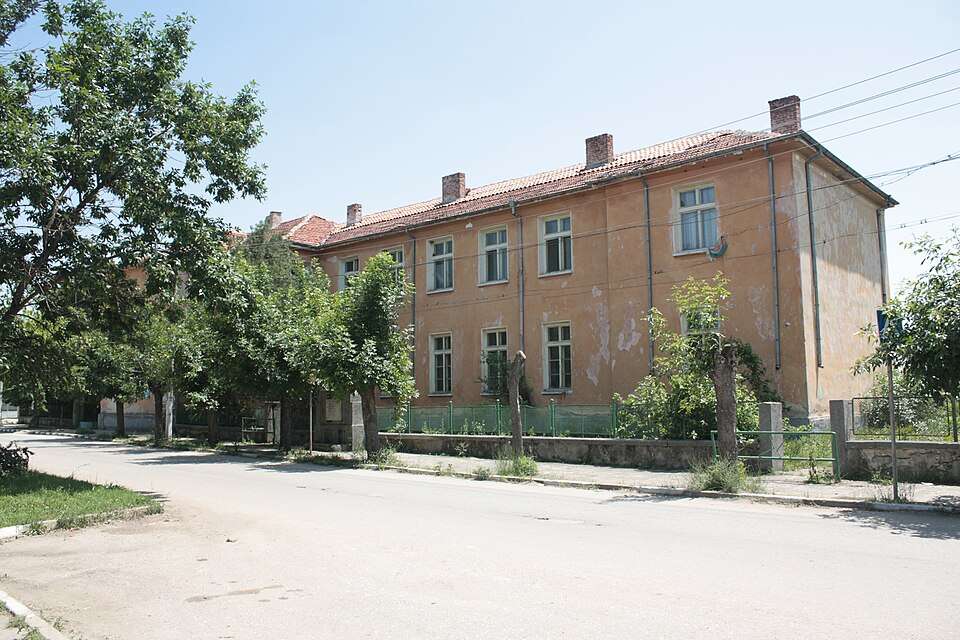
Golemi Stanchovtsi 是保加利亚加布罗沃州 Tryavna 市镇的一处村庄。 EKATTE 代码:15480。海拔范围:500–699 米。 本资料依据官方《全国居民点登记册》编写。您可以在地图上查看位置,并将此地加入个人旅行路线。

查看详情
查看位置

Map of Bulgaria with a marker for Golemo selo(Bobov dol 市镇)Representative point of the settlement. Overview map; confirm the exact visiting address.LOCATION · BULGARIAGolemo selo(Bobov dol 市镇)NRepresentative point of the settlementMap: Global Tour · Outline: Natural Earth

Representative point of the settlement. Overview map; confirm the exact visiting address.

保加利亚 · 丘斯滕迪尔州

居民点

Golemo selo(Bobov dol 市镇)

Golemo selo 是保加利亚丘斯滕迪尔州 Bobov dol 市镇的一处村庄。 EKATTE 代码:15535。海拔范围:500–699 米。 本资料依据官方《全国居民点登记册》编写。您可以在地图上查看位置,并将此地加入个人旅行路线。

查看详情
查看位置

Map of Bulgaria with a marker for Golesh(Kaynardzha 市镇)Representative point of the settlement. Overview map; confirm the exact visiting address.LOCATION · BULGARIAGolesh(Kaynardzha 市镇)NRepresentative point of the settlementMap: Global Tour · Outline: Natural Earth

Representative point of the settlement. Overview map; confirm the exact visiting address.

保加利亚 · 锡利斯特拉州

居民点

Golesh(Kaynardzha 市镇)

Golesh 是保加利亚锡利斯特拉州 Kaynardzha 市镇的一处村庄。 EKATTE 代码:15566。海拔范围:100–199 米。 本资料依据官方《全国居民点登记册》编写。您可以在地图上查看位置,并将此地加入个人旅行路线。

查看详情
查看位置

Map of Bulgaria with a marker for Golets(Ugarchin 市镇)Representative point of the settlement. Overview map; confirm the exact visiting address.LOCATION · BULGARIAGolets(Ugarchin 市镇)NRepresentative point of the settlementMap: Global Tour · Outline: Natural Earth

Representative point of the settlement. Overview map; confirm the exact visiting address.

保加利亚 · 洛维奇州

居民点

Golets(Ugarchin 市镇)

Golets 是保加利亚洛维奇州 Ugarchin 市镇的一处村庄。 EKATTE 代码:15552。海拔范围:300–499 米。 本资料依据官方《全国居民点登记册》编写。您可以在地图上查看位置,并将此地加入个人旅行路线。

查看详情
查看位置

Map of Bulgaria with a marker for Golitsa(Dolni chiflik 市镇)Representative point of the settlement. Overview map; confirm the exact visiting address.LOCATION · BULGARIAGolitsa(Dolni chiflik 市镇)NRepresentative point of the settlementMap: Global Tour · Outline: Natural Earth

Representative point of the settlement. Overview map; confirm the exact visiting address.

保加利亚 · 瓦尔纳州

居民点

Golitsa(Dolni chiflik 市镇)

Golitsa 是保加利亚瓦尔纳州 Dolni chiflik 市镇的一处村庄。 EKATTE 代码:15597。海拔范围:200–299 米。 本资料依据官方《全国居民点登记册》编写。您可以在地图上查看位置,并将此地加入个人旅行路线。

查看详情
查看位置

Map of Bulgaria with a marker for Golobrad(Ardino 市镇)Representative point of the settlement. Overview map; confirm the exact visiting address.LOCATION · BULGARIAGolobrad(Ardino 市镇)NRepresentative point of the settlementMap: Global Tour · Outline: Natural Earth

Representative point of the settlement. Overview map; confirm the exact visiting address.

保加利亚 · 克尔贾利州

居民点

Golobrad(Ardino 市镇)

Golobrad 是保加利亚克尔贾利州 Ardino 市镇的一处村庄。 EKATTE 代码:15607。海拔范围:500–699 米。 本资料依据官方《全国居民点登记册》编写。您可以在地图上查看位置,并将此地加入个人旅行路线。

查看详情
查看位置

Golyam chardak(Saedinenie 市镇)的照片

Golyam chardak(Saedinenie 市镇)的照片

保加利亚 · 普罗夫迪夫州

居民点

Golyam chardak(Saedinenie 市镇)

Golyam chardak 是保加利亚普罗夫迪夫州 Saedinenie 市镇的一处村庄。 EKATTE 代码:15970。海拔范围:200–299 米。 本资料依据官方《全国居民点登记册》编写。您可以在地图上查看位置,并将此地加入个人旅行路线。

查看详情

图片来源: Edal Anton Lefterov · CC BY-SA 3.0 · 许可协议

查看位置

Map of Bulgaria with a marker for Golyam Dervent(Elhovo 市镇)Representative point of the settlement. Overview map; confirm the exact visiting address.LOCATION · BULGARIAGolyam Dervent(Elhovo 市镇)NRepresentative point of the settlementMap: Global Tour · Outline: Natural Earth

Representative point of the settlement. Overview map; confirm the exact visiting address.

保加利亚 · 扬博尔州

居民点

Golyam Dervent(Elhovo 市镇)

Golyam Dervent 是保加利亚扬博尔州 Elhovo 市镇的一处村庄。 EKATTE 代码:15730。海拔范围:300–499 米。 本资料依据官方《全国居民点登记册》编写。您可以在地图上查看位置,并将此地加入个人旅行路线。

查看详情
查看位置

Map of Bulgaria with a marker for Golyam Devesil(Krumovgrad 市镇)Representative point of the settlement. Overview map; confirm the exact visiting address.LOCATION · BULGARIAGolyam Devesil(Krumovgrad 市镇)NRepresentative point of the settlementMap: Global Tour · Outline: Natural Earth

Representative point of the settlement. Overview map; confirm the exact visiting address.

保加利亚 · 克尔贾利州

居民点

Golyam Devesil(Krumovgrad 市镇)

Golyam Devesil 是保加利亚克尔贾利州 Krumovgrad 市镇的一处村庄。 EKATTE 代码:15727。海拔范围:300–499 米。 本资料依据官方《全国居民点登记册》编写。您可以在地图上查看位置,并将此地加入个人旅行路线。

查看详情
查看位置

Map of Bulgaria with a marker for Golyam dol(Bratya Daskalovi 市镇)Representative point of the settlement. Overview map; confirm the exact visiting address.LOCATION · BULGARIAGolyam dol(Bratya Daskalovi 市镇)NRepresentative point of the settlementMap: Global Tour · Outline: Natural Earth

Representative point of the settlement. Overview map; confirm the exact visiting address.

保加利亚 · 旧扎戈拉州

居民点

Golyam dol(Bratya Daskalovi 市镇)

Golyam dol 是保加利亚旧扎戈拉州 Bratya Daskalovi 市镇的一处村庄。 EKATTE 代码:15744。海拔范围:200–299 米。 本资料依据官方《全国居民点登记册》编写。您可以在地图上查看位置,并将此地加入个人旅行路线。

查看详情
查看位置

© 2026 Global Tour