旅游景点

探索旅行路线上的自然景观、历史遗迹和文化景点。

景点目录持续更新。参观详情请查看景点页面中的来源链接。

保加利亚居民点 · 5,256

找到景点: 5893 · 显示第 1,705–1,728 项,共 5,893 · 页 72 / 246

Map of Bulgaria with a marker for Golyamo novo(Targovishte 市镇)Representative point of the settlement. Overview map; confirm the exact visiting address.LOCATION · BULGARIAGolyamo novo(Targovishte 市镇)NRepresentative point of the settlementMap: Global Tour · Outline: Natural Earth

Representative point of the settlement. Overview map; confirm the exact visiting address.

保加利亚 · 特尔戈维什特州

居民点

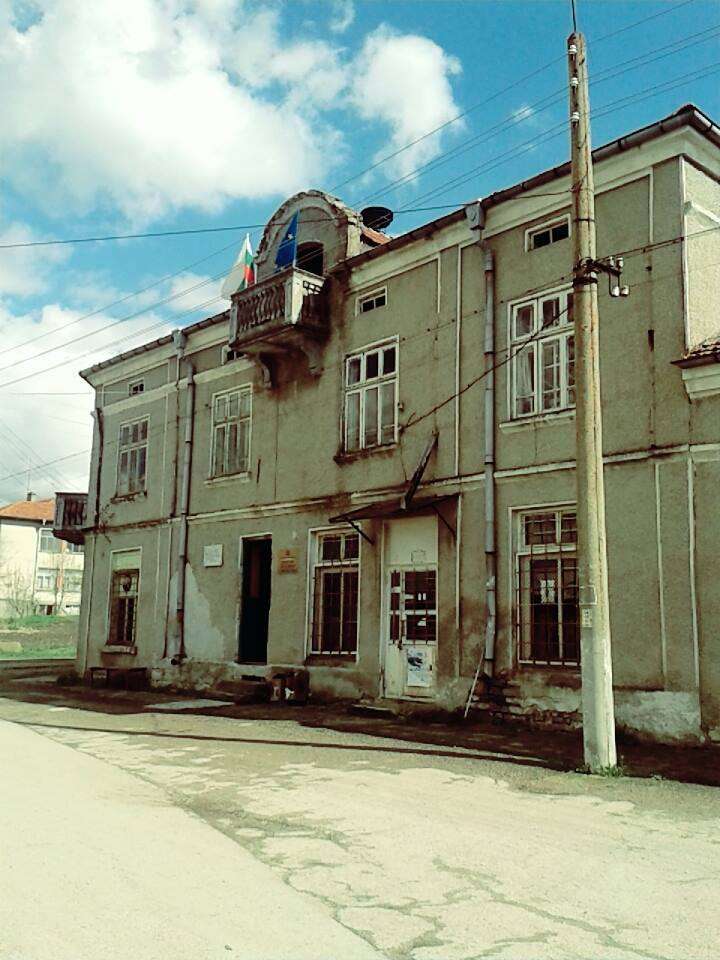
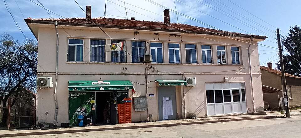
Golyamo novo(Targovishte 市镇)

Golyamo novo 是保加利亚特尔戈维什特州 Targovishte 市镇的一处村庄。 EKATTE 代码:15895。海拔范围:300–499 米。 本资料依据官方《全国居民点登记册》编写。您可以在地图上查看位置,并将此地加入个人旅行路线。

查看详情
查看位置

Map of Bulgaria with a marker for Golyamo Peshtene(Vratsa 市镇)Representative point of the settlement. Overview map; confirm the exact visiting address.LOCATION · BULGARIAGolyamo Peshtene(Vratsa 市镇)NRepresentative point of the settlementMap: Global Tour · Outline: Natural Earth

Representative point of the settlement. Overview map; confirm the exact visiting address.

保加利亚 · 弗拉察州

居民点

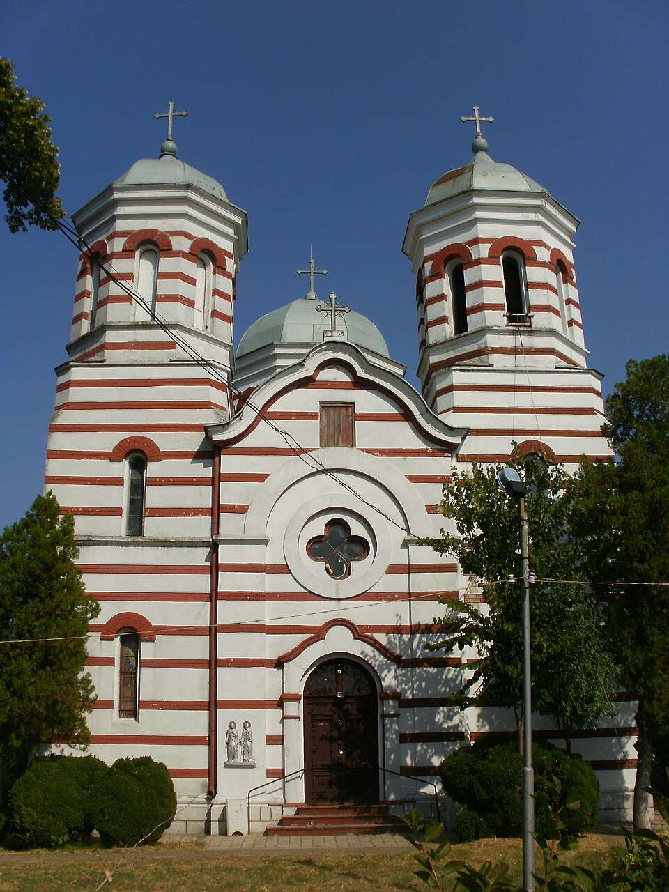
Golyamo Peshtene(Vratsa 市镇)

Golyamo Peshtene 是保加利亚弗拉察州 Vratsa 市镇的一处村庄。 EKATTE 代码:15521。海拔范围:100–199 米。 本资料依据官方《全国居民点登记册》编写。您可以在地图上查看位置,并将此地加入个人旅行路线。

查看详情
查看位置

Golyamo Sokolovo(Targovishte 市镇)的照片

Golyamo Sokolovo(Targovishte 市镇)的照片

保加利亚 · 特尔戈维什特州

居民点

Golyamo Sokolovo(Targovishte 市镇)

Golyamo Sokolovo 是保加利亚特尔戈维什特州 Targovishte 市镇的一处村庄。 EKATTE 代码:15919。海拔范围:200–299 米。 本资料依据官方《全国居民点登记册》编写。您可以在地图上查看位置,并将此地加入个人旅行路线。

查看详情
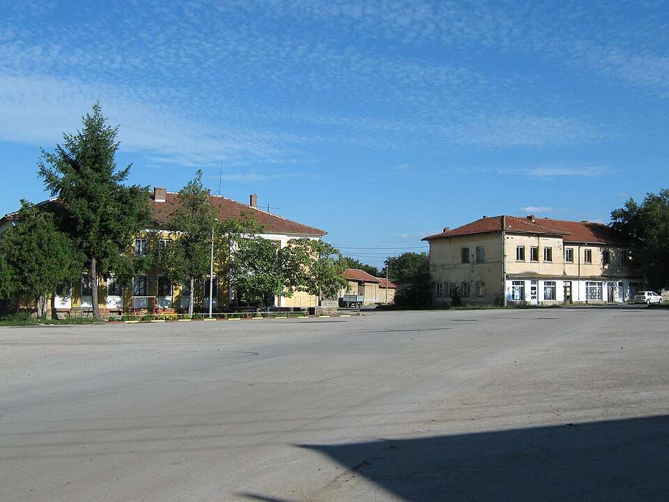
图片来源: Georgi ivanov markov · CC BY-SA 4.0 · 许可协议

查看位置

Map of Bulgaria with a marker for Golyamo tsarkvishte(Omurtag 市镇)Representative point of the settlement. Overview map; confirm the exact visiting address.LOCATION · BULGARIAGolyamo tsarkvishte(Omurtag 市镇)NRepresentative point of the settlementMap: Global Tour · Outline: Natural Earth

Representative point of the settlement. Overview map; confirm the exact visiting address.

保加利亚 · 特尔戈维什特州

居民点

Golyamo tsarkvishte(Omurtag 市镇)

Golyamo tsarkvishte 是保加利亚特尔戈维什特州 Omurtag 市镇的一处村庄。 EKATTE 代码:15922。海拔范围:300–499 米。 本资料依据官方《全国居民点登记册》编写。您可以在地图上查看位置,并将此地加入个人旅行路线。

查看详情
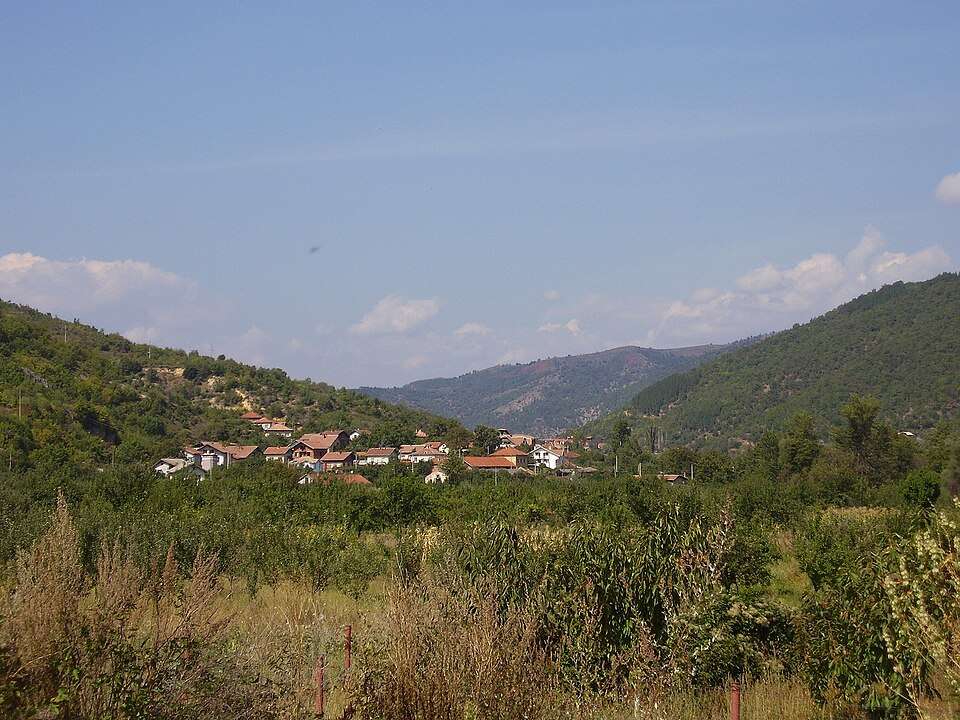
查看位置

Map of Bulgaria with a marker for Golyamo Vranovo(Slivo pole 市镇)Representative point of the settlement. Overview map; confirm the exact visiting address.LOCATION · BULGARIAGolyamo Vranovo(Slivo pole 市镇)NRepresentative point of the settlementMap: Global Tour · Outline: Natural Earth

Representative point of the settlement. Overview map; confirm the exact visiting address.

保加利亚 · 鲁塞州

居民点

Golyamo Vranovo(Slivo pole 市镇)

Golyamo Vranovo 是保加利亚鲁塞州 Slivo pole 市镇的一处村庄。 EKATTE 代码:15829。海拔范围:0–49 米。 本资料依据官方《全国居民点登记册》编写。您可以在地图上查看位置,并将此地加入个人旅行路线。

查看详情
查看位置

Map of Bulgaria with a marker for Goranovtsi(Veliko Tarnovo 市镇)Representative point of the settlement. Overview map; confirm the exact visiting address.LOCATION · BULGARIAGoranovtsi(Veliko Tarnovo 市镇)NRepresentative point of the settlementMap: Global Tour · Outline: Natural Earth

Representative point of the settlement. Overview map; confirm the exact visiting address.

保加利亚 · 大特尔诺沃州

居民点

Goranovtsi(Veliko Tarnovo 市镇)

Goranovtsi 是保加利亚大特尔诺沃州 Veliko Tarnovo 市镇的一处村庄。 EKATTE 代码:16016。海拔范围:500–699 米。 本资料依据官方《全国居民点登记册》编写。您可以在地图上查看位置,并将此地加入个人旅行路线。

查看详情
查看位置

Map of Bulgaria with a marker for Gorchevo(Petrich 市镇)Representative point of the settlement. Overview map; confirm the exact visiting address.LOCATION · BULGARIAGorchevo(Petrich 市镇)NRepresentative point of the settlementMap: Global Tour · Outline: Natural Earth

Representative point of the settlement. Overview map; confirm the exact visiting address.

保加利亚 · 布拉戈耶夫格勒州

居民点

Gorchevo(Petrich 市镇)

Gorchevo 是保加利亚布拉戈耶夫格勒州 Petrich 市镇的一处村庄。 EKATTE 代码:17302。海拔范围:700–999 米。 本资料依据官方《全国居民点登记册》编写。您可以在地图上查看位置,并将此地加入个人旅行路线。

查看详情
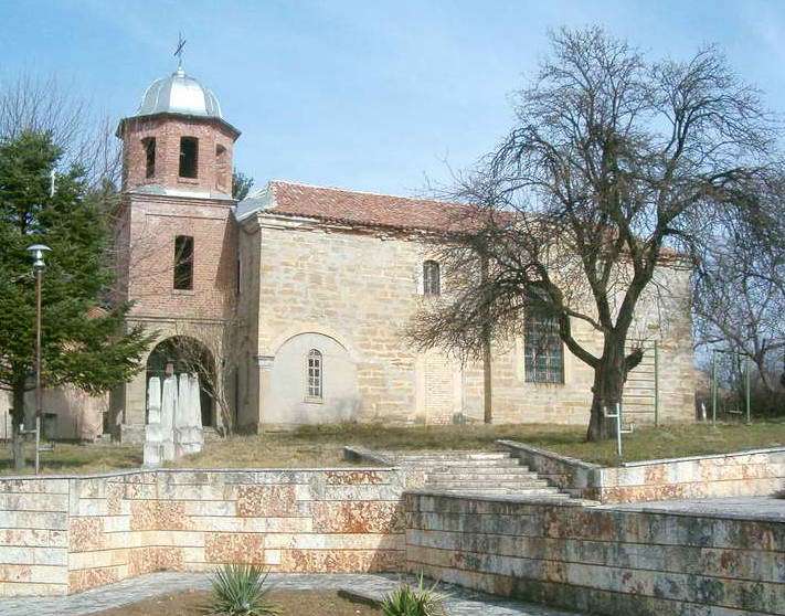
查看位置

Map of Bulgaria with a marker for Goreme(Strumyani 市镇)Representative point of the settlement. Overview map; confirm the exact visiting address.LOCATION · BULGARIAGoreme(Strumyani 市镇)NRepresentative point of the settlementMap: Global Tour · Outline: Natural Earth

Representative point of the settlement. Overview map; confirm the exact visiting address.

保加利亚 · 布拉戈耶夫格勒州

居民点

Goreme(Strumyani 市镇)

Goreme 是保加利亚布拉戈耶夫格勒州 Strumyani 市镇的一处村庄。 EKATTE 代码:16033。海拔范围:700–999 米。 本资料依据官方《全国居民点登记册》编写。您可以在地图上查看位置,并将此地加入个人旅行路线。

查看详情
查看位置

Map of Bulgaria with a marker for Goren chiflik(Dolni chiflik 市镇)Representative point of the settlement. Overview map; confirm the exact visiting address.LOCATION · BULGARIAGoren chiflik(Dolni chiflik 市镇)NRepresentative point of the settlementMap: Global Tour · Outline: Natural Earth

Representative point of the settlement. Overview map; confirm the exact visiting address.

保加利亚 · 瓦尔纳州

居民点

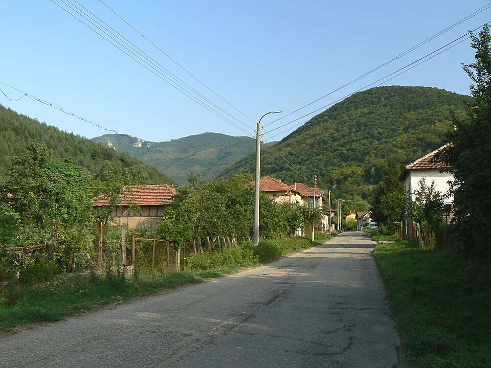
Goren chiflik(Dolni chiflik 市镇)

Goren chiflik 是保加利亚瓦尔纳州 Dolni chiflik 市镇的一处村庄。 EKATTE 代码:16050。海拔范围:0–49 米。 本资料依据官方《全国居民点登记册》编写。您可以在地图上查看位置,并将此地加入个人旅行路线。

查看详情
查看位置

Map of Bulgaria with a marker for Goren Enevets(Veliko Tarnovo 市镇)Representative point of the settlement. Overview map; confirm the exact visiting address.LOCATION · BULGARIAGoren Enevets(Veliko Tarnovo 市镇)NRepresentative point of the settlementMap: Global Tour · Outline: Natural Earth

Representative point of the settlement. Overview map; confirm the exact visiting address.

保加利亚 · 大特尔诺沃州

居民点

Goren Enevets(Veliko Tarnovo 市镇)

Goren Enevets 是保加利亚大特尔诺沃州 Veliko Tarnovo 市镇的一处村庄。 EKATTE 代码:16047。海拔范围:300–499 米。 本资料依据官方《全国居民点登记册》编写。您可以在地图上查看位置,并将此地加入个人旅行路线。

查看详情
查看位置

Map of Bulgaria with a marker for Gorichane(Shabla 市镇)Representative point of the settlement. Overview map; confirm the exact visiting address.LOCATION · BULGARIAGorichane(Shabla 市镇)NRepresentative point of the settlementMap: Global Tour · Outline: Natural Earth

Representative point of the settlement. Overview map; confirm the exact visiting address.

保加利亚 · 多布里奇州

居民点

Gorichane(Shabla 市镇)

Gorichane 是保加利亚多布里奇州 Shabla 市镇的一处村庄。 EKATTE 代码:16095。海拔范围:50–99 米。 本资料依据官方《全国居民点登记册》编写。您可以在地图上查看位置,并将此地加入个人旅行路线。

查看详情
查看位置

Map of Bulgaria with a marker for Gorichevo(Kubrat 市镇)Representative point of the settlement. Overview map; confirm the exact visiting address.LOCATION · BULGARIAGorichevo(Kubrat 市镇)NRepresentative point of the settlementMap: Global Tour · Outline: Natural Earth

Representative point of the settlement. Overview map; confirm the exact visiting address.

保加利亚 · 拉兹格勒州

居民点

Gorichevo(Kubrat 市镇)

Gorichevo 是保加利亚拉兹格勒州 Kubrat 市镇的一处村庄。 EKATTE 代码:16105。海拔范围:100–199 米。 本资料依据官方《全国居民点登记册》编写。您可以在地图上查看位置,并将此地加入个人旅行路线。

查看详情
查看位置

Map of Bulgaria with a marker for Goritsa(Byala 市镇)Representative point of the settlement. Overview map; confirm the exact visiting address.LOCATION · BULGARIAGoritsa(Byala 市镇)NRepresentative point of the settlementMap: Global Tour · Outline: Natural Earth

Representative point of the settlement. Overview map; confirm the exact visiting address.

保加利亚 · 瓦尔纳州

居民点

Goritsa(Byala 市镇)

Goritsa 是保加利亚瓦尔纳州 Byala 市镇的一处村庄。 EKATTE 代码:16078。海拔范围:100–199 米。 本资料依据官方《全国居民点登记册》编写。您可以在地图上查看位置,并将此地加入个人旅行路线。

查看详情
查看位置

Map of Bulgaria with a marker for Goritsa(General Toshevo 市镇)Representative point of the settlement. Overview map; confirm the exact visiting address.LOCATION · BULGARIAGoritsa(General Toshevo 市镇)NRepresentative point of the settlementMap: Global Tour · Outline: Natural Earth

Representative point of the settlement. Overview map; confirm the exact visiting address.

保加利亚 · 多布里奇州

居民点

Goritsa(General Toshevo 市镇)

Goritsa 是保加利亚多布里奇州 General Toshevo 市镇的一处村庄。 EKATTE 代码:18575。海拔范围:100–199 米。 本资料依据官方《全国居民点登记册》编写。您可以在地图上查看位置,并将此地加入个人旅行路线。

查看详情
查看位置

Goritsa(Popovo 市镇)的照片

Goritsa(Popovo 市镇)的照片

保加利亚 · 特尔戈维什特州

居民点

Goritsa(Popovo 市镇)

Goritsa 是保加利亚特尔戈维什特州 Popovo 市镇的一处村庄。 EKATTE 代码:16081。海拔范围:300–499 米。 本资料依据官方《全国居民点登记册》编写。您可以在地图上查看位置,并将此地加入个人旅行路线。

查看详情

图片来源: Original author and uploader were Pl. Sabev and Vl. Stoykov at bg.wikipedia · CC BY-SA 3.0 · 许可协议

查看位置

Map of Bulgaria with a marker for Gorna Beshovitsa(Mezdra 市镇)Representative point of the settlement. Overview map; confirm the exact visiting address.LOCATION · BULGARIAGorna Beshovitsa(Mezdra 市镇)NRepresentative point of the settlementMap: Global Tour · Outline: Natural Earth

Representative point of the settlement. Overview map; confirm the exact visiting address.

保加利亚 · 弗拉察州

居民点

Gorna Beshovitsa(Mezdra 市镇)

Gorna Beshovitsa 是保加利亚弗拉察州 Mezdra 市镇的一处村庄。 EKATTE 代码:16122。海拔范围:300–499 米。 本资料依据官方《全国居民点登记册》编写。您可以在地图上查看位置,并将此地加入个人旅行路线。

查看详情
查看位置

© 2026 Global Tour