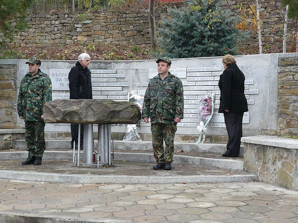
Gorno Pavlikene(Lovech 市镇)的照片
保加利亚 · 洛维奇州
居民点
Gorno Pavlikene(Lovech 市镇)
Gorno Pavlikene 是保加利亚洛维奇州 Lovech 市镇的一处村庄。 EKATTE 代码:16883。海拔范围:300–499 米。 本资料依据官方《全国居民点登记册》编写。您可以在地图上查看位置,并将此地加入个人旅行路线。
查看详情图片来源: Sasholitex · CC BY-SA 4.0 · 许可协议
查看位置
探索旅行路线上的自然景观、历史遗迹和文化景点。
景点目录持续更新。参观详情请查看景点页面中的来源链接。
保加利亚居民点 · 5,256找到景点: 5893 · 显示第 1,801–1,824 项,共 5,893 · 页 76 / 246
Gorno Pavlikene(Lovech 市镇)的照片
保加利亚 · 洛维奇州
居民点
Gorno Pavlikene 是保加利亚洛维奇州 Lovech 市镇的一处村庄。 EKATTE 代码:16883。海拔范围:300–499 米。 本资料依据官方《全国居民点登记册》编写。您可以在地图上查看位置,并将此地加入个人旅行路线。
查看详情图片来源: Sasholitex · CC BY-SA 4.0 · 许可协议
查看位置Representative point of the settlement. Overview map; confirm the exact visiting address.
保加利亚 · 弗拉察州
居民点
Gorno Peshtene 是保加利亚弗拉察州 Vratsa 市镇的一处村庄。 EKATTE 代码:16897。海拔范围:200–299 米。 本资料依据官方《全国居民点登记册》编写。您可以在地图上查看位置,并将此地加入个人旅行路线。
查看详情Representative point of the settlement. Overview map; confirm the exact visiting address.
保加利亚 · 哈斯科沃州
居民点
Gorno pole 是保加利亚哈斯科沃州 Madzharovo 市镇的一处村庄。 EKATTE 代码:16907。海拔范围:300–499 米。 本资料依据官方《全国居民点登记册》编写。您可以在地图上查看位置,并将此地加入个人旅行路线。
查看详情Representative point of the settlement. Overview map; confirm the exact visiting address.
保加利亚 · 克尔贾利州
居民点
Gorno Prahovo 是保加利亚克尔贾利州 Ardino 市镇的一处村庄。 EKATTE 代码:16910。海拔范围:700–999 米。 本资料依据官方《全国居民点登记册》编写。您可以在地图上查看位置,并将此地加入个人旅行路线。
查看详情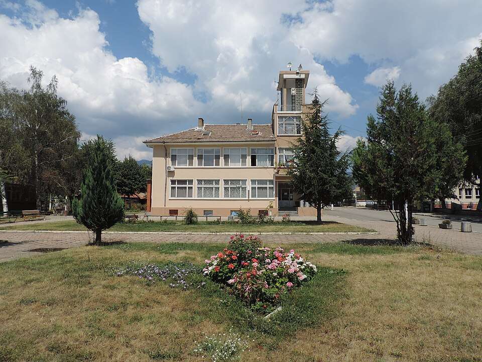
Gorno Sahrane(Pavel banya 市镇)的照片
保加利亚 · 旧扎戈拉州
居民点
Gorno Sahrane 是保加利亚旧扎戈拉州 Pavel banya 市镇的一处村庄。 EKATTE 代码:16924。海拔范围:300–499 米。 本资料依据官方《全国居民点登记册》编写。您可以在地图上查看位置,并将此地加入个人旅行路线。
查看详情图片来源: Vassia Atanassova - Spiritia · CC BY-SA 4.0 · 许可协议
查看位置Representative point of the settlement. Overview map; confirm the exact visiting address.
保加利亚 · 索菲亚州
居民点
Gorno selo 是保加利亚索菲亚州 Dragoman 市镇的一处村庄。 EKATTE 代码:16938。海拔范围:700–999 米。 本资料依据官方《全国居民点登记册》编写。您可以在地图上查看位置,并将此地加入个人旅行路线。
查看详情Representative point of the settlement. Overview map; confirm the exact visiting address.
保加利亚 · 布拉戈耶夫格勒州
居民点
Gorno Spanchevo 是保加利亚布拉戈耶夫格勒州 Sandanski 市镇的一处村庄。 EKATTE 代码:16969。海拔范围:300–499 米。 本资料依据官方《全国居民点登记册》编写。您可以在地图上查看位置,并将此地加入个人旅行路线。
查看详情Representative point of the settlement. Overview map; confirm the exact visiting address.
保加利亚 · 洛维奇州
居民点
Gorno trape 是保加利亚洛维奇州 Troyan 市镇的一处村庄。 EKATTE 代码:16986。海拔范围:500–699 米。 本资料依据官方《全国居民点登记册》编写。您可以在地图上查看位置,并将此地加入个人旅行路线。
查看详情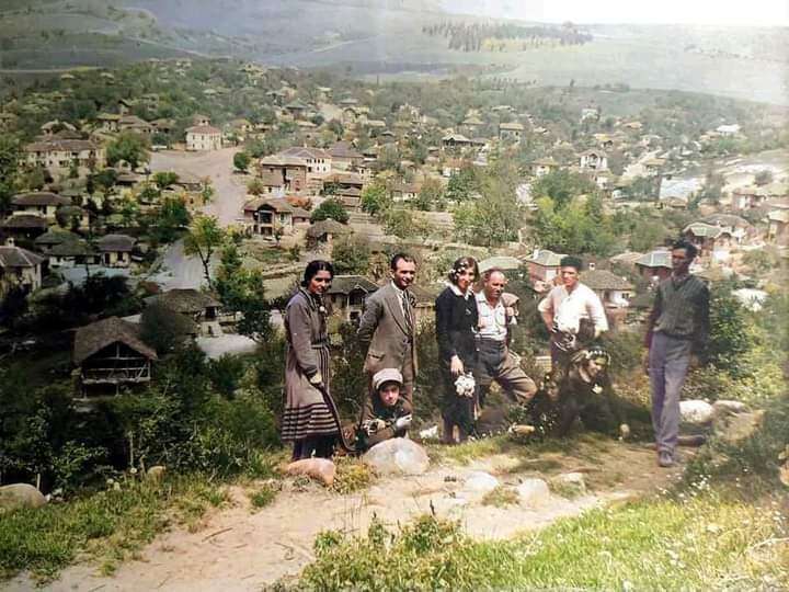
Gorno Tserovene(Montana 市镇)的历史照片
保加利亚 · 蒙塔纳州
居民点
Gorno Tserovene 是保加利亚蒙塔纳州 Montana 市镇的一处村庄。 EKATTE 代码:17018。海拔范围:200–299 米。 本资料依据官方《全国居民点登记册》编写。您可以在地图上查看位置,并将此地加入个人旅行路线。
查看详情图片来源: Личен архив на Димитър Церовски · CC BY-SA 4.0 · 许可协议
查看位置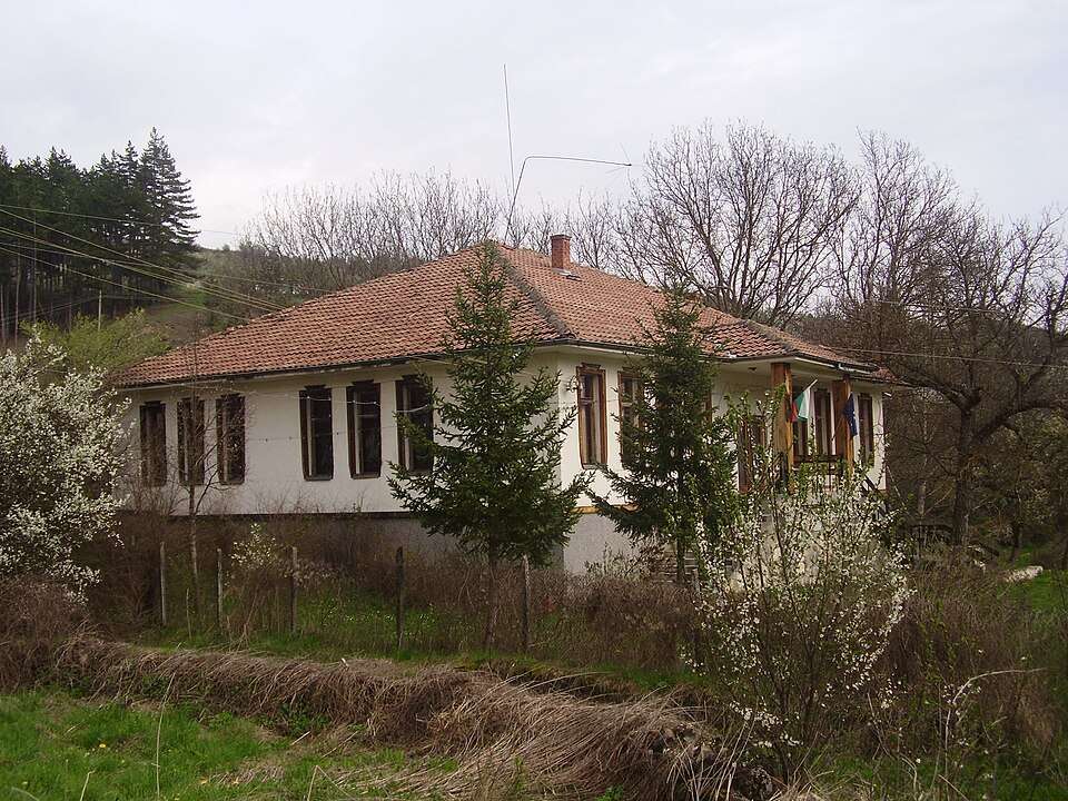
Gorno Uyno(Kyustendil 市镇)的照片
保加利亚 · 丘斯滕迪尔州
居民点
Gorno Uyno 是保加利亚丘斯滕迪尔州 Kyustendil 市镇的一处村庄。 EKATTE 代码:16995。海拔范围:700–999 米。 本资料依据官方《全国居民点登记册》编写。您可以在地图上查看位置,并将此地加入个人旅行路线。
查看详情图片来源: LeeKeoma · Public domain · 许可协议
查看位置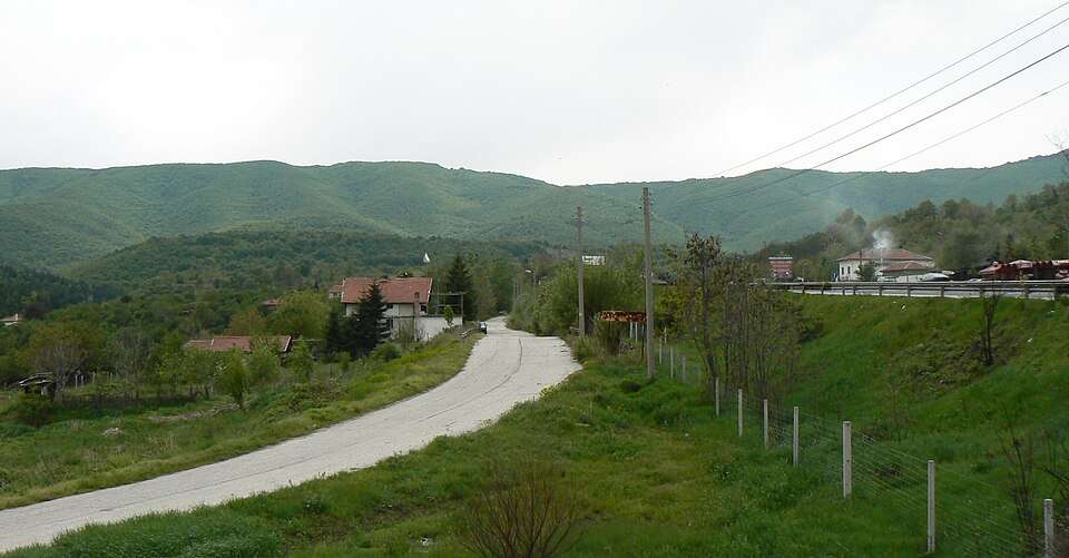
Gorno varshilo(Septemvri 市镇)的照片
保加利亚 · 帕扎尔吉克州
居民点
Gorno varshilo 是保加利亚帕扎尔吉克州 Septemvri 市镇的一处村庄。 EKATTE 代码:16732。海拔范围:500–699 米。 本资料依据官方《全国居民点登记册》编写。您可以在地图上查看位置,并将此地加入个人旅行路线。
查看详情图片来源: Spiritia · CC BY-SA 3.0 · 许可协议
查看位置Representative point of the settlement. Overview map; confirm the exact visiting address.
保加利亚 · 哈斯科沃州
居民点
Gorno Voyvodino 是保加利亚哈斯科沃州 Haskovo 市镇的一处村庄。 EKATTE 代码:16729。海拔范围:300–499 米。 本资料依据官方《全国居民点登记册》编写。您可以在地图上查看位置,并将此地加入个人旅行路线。
查看详情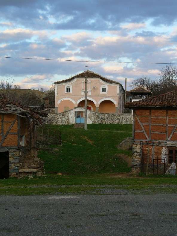
Gorno Yabalkovo(Sredets 市镇)的照片
保加利亚 · 布尔加斯州
居民点
Gorno Yabalkovo 是保加利亚布尔加斯州 Sredets 市镇的一处村庄。 EKATTE 代码:17035。海拔范围:300–499 米。 本资料依据官方《全国居民点登记册》编写。您可以在地图上查看位置,并将此地加入个人旅行路线。
查看详情图片来源: Original uploader was Dorita (Дора Михова) at bg.wikipedia · CC BY-SA 2.5 · 许可协议
查看位置Representative point of the settlement. Overview map; confirm the exact visiting address.
保加利亚 · 哈斯科沃州
居民点
Gornoseltsi 是保加利亚哈斯科沃州 Ivaylovgrad 市镇的一处村庄。 EKATTE 代码:16941。海拔范围:300–499 米。 本资料依据官方《全国居民点登记册》编写。您可以在地图上查看位置,并将此地加入个人旅行路线。
查看详情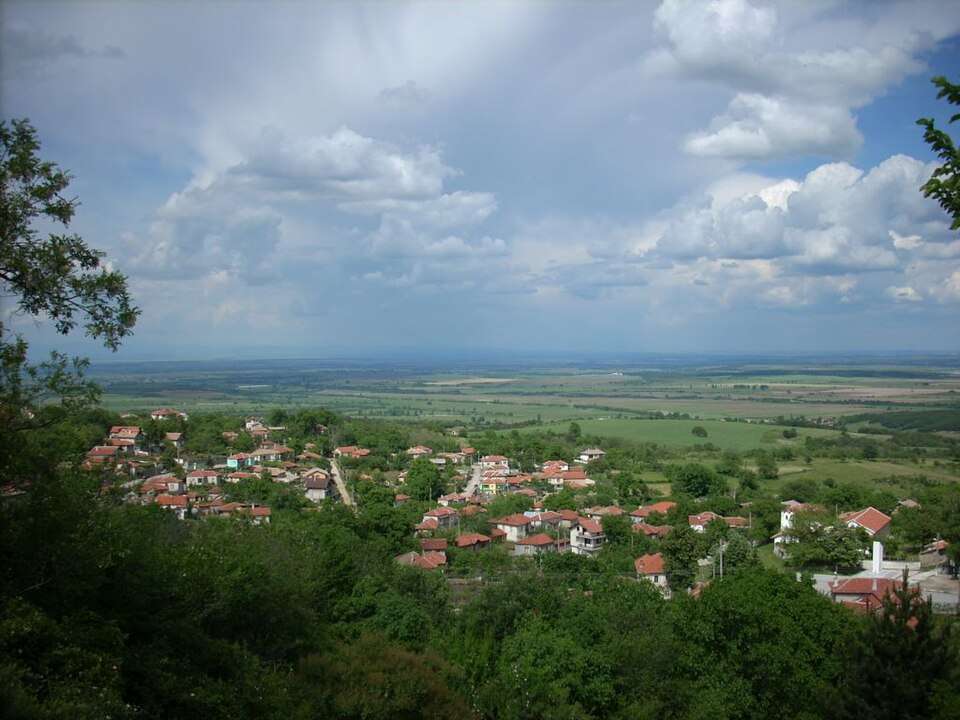
Gornoslav(Asenovgrad 市镇)的照片
保加利亚 · 普罗夫迪夫州
居民点
Gornoslav 是保加利亚普罗夫迪夫州 Asenovgrad 市镇的一处村庄。 EKATTE 代码:16955。海拔范围:500–699 米。 本资料依据官方《全国居民点登记册》编写。您可以在地图上查看位置,并将此地加入个人旅行路线。
查看详情图片来源: Delyana · CC BY-SA 4.0 · 许可协议
查看位置Representative point of the settlement. Overview map; confirm the exact visiting address.
保加利亚 · 加布罗沃州
居民点
Gornova mogila 是保加利亚加布罗沃州 Gabrovo 市镇的一处村庄。 EKATTE 代码:16715。海拔范围:500–699 米。 本资料依据官方《全国居民点登记册》编写。您可以在地图上查看位置,并将此地加入个人旅行路线。
查看详情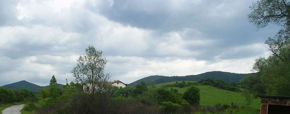
Gorochevtsi(Tran 市镇)的照片
保加利亚 · 佩尔尼克州
居民点
Gorochevtsi 是保加利亚佩尔尼克州 Tran 市镇的一处村庄。 EKATTE 代码:17077。海拔范围:700–999 米。 本资料依据官方《全国居民点登记册》编写。您可以在地图上查看位置,并将此地加入个人旅行路线。
查看详情图片来源: User:Mpb_eu · Public domain · 许可协议
查看位置
Gorotsvet(Loznitsa 市镇)的照片
保加利亚 · 拉兹格勒州
居民点
Gorotsvet 是保加利亚拉兹格勒州 Loznitsa 市镇的一处村庄。 EKATTE 代码:17066。海拔范围:300–499 米。 本资料依据官方《全国居民点登记册》编写。您可以在地图上查看位置,并将此地加入个人旅行路线。
查看详情图片来源: Litev · CC BY-SA 4.0 · 许可协议
查看位置Representative point of the settlement. Overview map; confirm the exact visiting address.
保加利亚 · 斯莫梁州
居民点
Gorovo 是保加利亚斯莫梁州 Smolyan 市镇的一处村庄。 EKATTE 代码:17052。海拔范围:≥ 1000 米。 本资料依据官方《全国居民点登记册》编写。您可以在地图上查看位置,并将此地加入个人旅行路线。
查看详情Representative point of the settlement. Overview map; confirm the exact visiting address.
保加利亚 · 布尔加斯州
居民点
Gorovo 是保加利亚布尔加斯州 Sungurlare 市镇的一处村庄。 EKATTE 代码:17049。海拔范围:100–199 米。 本资料依据官方《全国居民点登记册》编写。您可以在地图上查看位置,并将此地加入个人旅行路线。
查看详情Representative point of the settlement. Overview map; confirm the exact visiting address.
保加利亚 · 大特尔诺沃州
居民点
Gorska 是保加利亚大特尔诺沃州 Elena 市镇的一处村庄。 EKATTE 代码:17083。海拔范围:300–499 米。 本资料依据官方《全国居民点登记册》编写。您可以在地图上查看位置,并将此地加入个人旅行路线。
查看详情Representative point of the settlement. Overview map; confirm the exact visiting address.
保加利亚 · 扬博尔州
居民点
Gorska polyana 是保加利亚扬博尔州 Bolyarovo 市镇的一处村庄。 EKATTE 代码:17097。海拔范围:300–499 米。 本资料依据官方《全国居民点登记册》编写。您可以在地图上查看位置,并将此地加入个人旅行路线。
查看详情Representative point of the settlement. Overview map; confirm the exact visiting address.
保加利亚 · 大特尔诺沃州
居民点
Gorski dolen Trambesh 是保加利亚大特尔诺沃州 Gorna Oryahovitsa 市镇的一处村庄。 EKATTE 代码:17124。海拔范围:100–199 米。 本资料依据官方《全国居民点登记册》编写。您可以在地图上查看位置,并将此地加入个人旅行路线。
查看详情Representative point of the settlement. Overview map; confirm the exact visiting address.
保加利亚 · 大特尔诺沃州
居民点
Gorski goren Trambesh 是保加利亚大特尔诺沃州 Gorna Oryahovitsa 市镇的一处村庄。 EKATTE 代码:17107。海拔范围:300–499 米。 本资料依据官方《全国居民点登记册》编写。您可以在地图上查看位置,并将此地加入个人旅行路线。
查看详情