土耳其
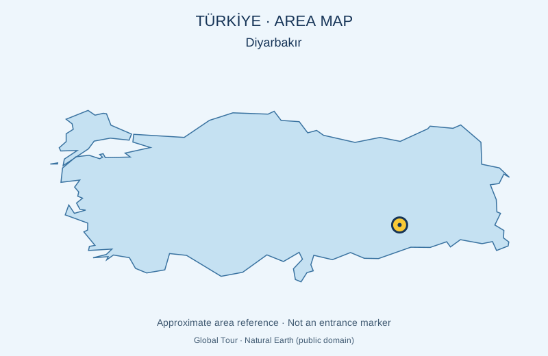
大清真寺-迪亚巴克尔
大清真寺是古代迪亚巴克尔的一个历史宗教建筑群。其建筑结构的特征是巴萨尔特泥瓦和开阔庭院。 地图标记的是景点的大致位置,并非入口。是否安排游览及是否另行收费,以所选行程为准。预订前会确认能否参观。
查看详情图片来源: Global Tour · Natural Earth (public domain) · approximate area map · 许可协议
查看位置
探索旅行路线上的自然景观、历史遗迹和文化景点。
景点目录持续更新。参观详情请查看景点页面中的来源链接。
保加利亚居民点 · 5,256找到景点: 5893 · 显示第 1,897–1,920 项,共 5,893 · 页 80 / 246
土耳其
大清真寺是古代迪亚巴克尔的一个历史宗教建筑群。其建筑结构的特征是巴萨尔特泥瓦和开阔庭院。 地图标记的是景点的大致位置,并非入口。是否安排游览及是否另行收费,以所选行程为准。预订前会确认能否参观。
查看详情图片来源: Global Tour · Natural Earth (public domain) · approximate area map · 许可协议
查看位置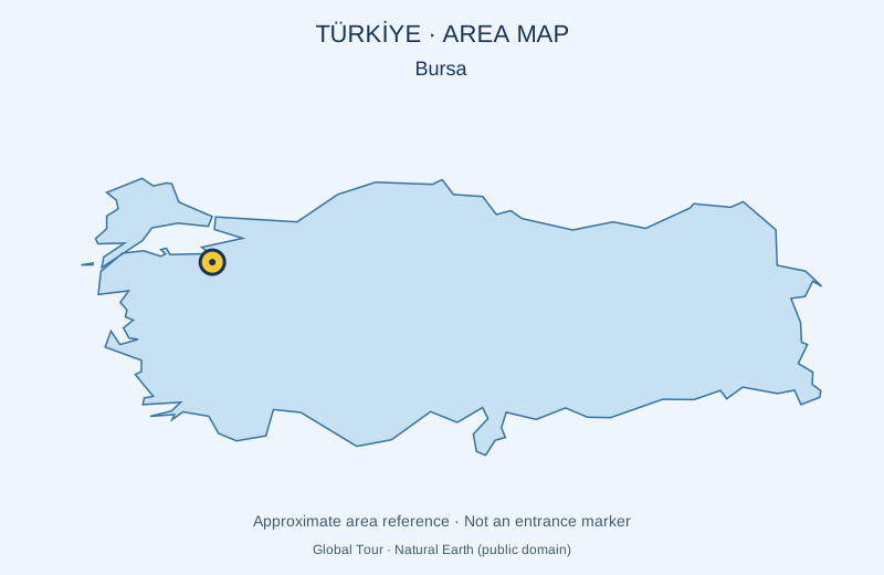
土耳其
绿清真寺属于Bursa的Yeşil建筑群。它以装饰性瓷砖工闻名。 地图标记的是景点的大致位置,并非入口。是否安排游览及是否另行收费,以所选行程为准。预订前会确认能否参观。
查看详情图片来源: Global Tour · Natural Earth (public domain) · approximate area map · 许可协议
查看位置Representative point of the settlement. Overview map; confirm the exact visiting address.
保加利亚 · 特尔戈维什特州
居民点
Greevtsi 是保加利亚特尔戈维什特州 Antonovo 市镇的一处村庄。 EKATTE 代码:17840。海拔范围:300–499 米。 本资料依据官方《全国居民点登记册》编写。您可以在地图上查看位置,并将此地加入个人旅行路线。
查看详情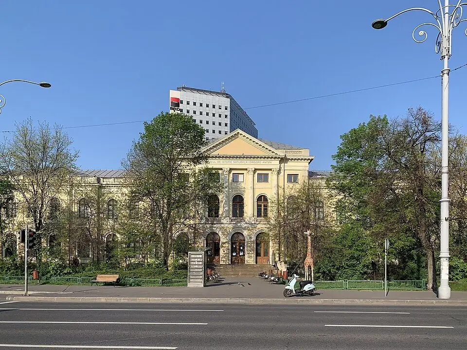
罗马尼亚
布加勒斯特的Grigore Antipa博物馆通过科学收藏和展览展示自然多样性。
查看详情图片来源: Chainwit. · CC BY-SA 4.0 · 许可协议
查看位置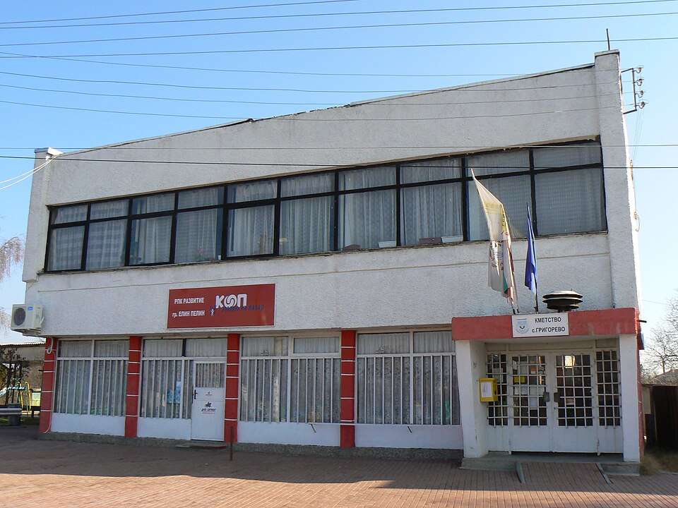
Grigorevo(Elin Pelin 市镇)的照片
保加利亚 · 索菲亚州
居民点
Grigorevo 是保加利亚索菲亚州 Elin Pelin 市镇的一处村庄。 EKATTE 代码:17885。海拔范围:500–699 米。 本资料依据官方《全国居民点登记册》编写。您可以在地图上查看位置,并将此地加入个人旅行路线。
查看详情图片来源: Vassia Atanassova - Spiritia · CC BY-SA 3.0 · 许可协议
查看位置Representative point of the settlement. Overview map; confirm the exact visiting address.
保加利亚 · 普列文州
居民点
格里维察是保加利亚普列文州 Pleven 市镇的一处村庄。 EKATTE 代码:17854。海拔范围:200–299 米。 本资料依据官方《全国居民点登记册》编写。您可以在地图上查看位置,并将此地加入个人旅行路线。
查看详情Representative point of the settlement. Overview map; confirm the exact visiting address.
保加利亚 · 克尔贾利州
居民点
Grivka 是保加利亚克尔贾利州 Krumovgrad 市镇的一处村庄。 EKATTE 代码:17868。海拔范围:300–499 米。 本资料依据官方《全国居民点登记册》编写。您可以在地图上查看位置,并将此地加入个人旅行路线。
查看详情Representative point of the settlement. Overview map; confirm the exact visiting address.
保加利亚 · 克尔贾利州
居民点
Grivyak 是保加利亚克尔贾利州 Kirkovo 市镇的一处村庄。 EKATTE 代码:17871。海拔范围:500–699 米。 本资料依据官方《全国居民点登记册》编写。您可以在地图上查看位置,并将此地加入个人旅行路线。
查看详情Representative point of the settlement. Overview map; confirm the exact visiting address.
保加利亚 · 斯莫梁州
居民点
格罗霍特诺是保加利亚斯莫梁州 Devin 市镇的一处村庄。 EKATTE 代码:17957。海拔范围:700–999 米。 本资料依据官方《全国居民点登记册》编写。您可以在地图上查看位置,并将此地加入个人旅行路线。
查看详情Representative point of the settlement. Overview map; confirm the exact visiting address.
保加利亚 · 蒙塔纳州
居民点
Gromshin 是保加利亚蒙塔纳州 Boychinovtsi 市镇的一处村庄。 EKATTE 代码:17943。海拔范围:50–99 米。 本资料依据官方《全国居民点登记册》编写。您可以在地图上查看位置,并将此地加入个人旅行路线。
查看详情Representative point of the settlement. Overview map; confirm the exact visiting address.
保加利亚 · 布尔加斯州
居民点
格罗兹登是保加利亚布尔加斯州 Sungurlare 市镇的一处村庄。 EKATTE 代码:17909。海拔范围:200–299 米。 本资料依据官方《全国居民点登记册》编写。您可以在地图上查看位置,并将此地加入个人旅行路线。
查看详情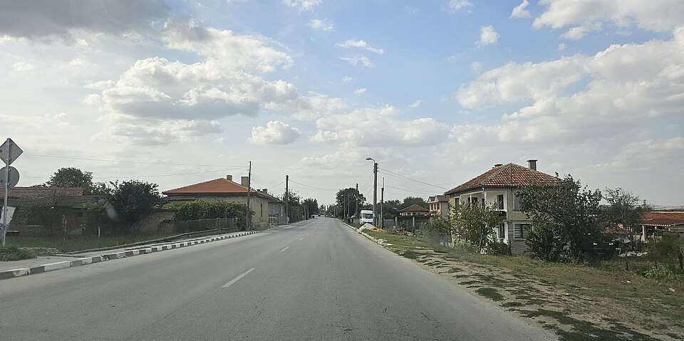
格罗兹迪约沃(Grozdyovo,Dolni chiflik 市镇)的照片
保加利亚 · 瓦尔纳州
居民点
格罗兹迪约沃是保加利亚瓦尔纳州 Dolni chiflik 市镇的一处村庄。 EKATTE 代码:17912。海拔范围:0–49 米。 本资料依据官方《全国居民点登记册》编写。您可以在地图上查看位置,并将此地加入个人旅行路线。
查看详情图片来源: Спрънджа · CC BY-SA 4.0 · 许可协议
查看位置Representative point of the settlement. Overview map; confirm the exact visiting address.
保加利亚 · 克尔贾利州
居民点
Gruevo 是保加利亚克尔贾利州 Momchilgrad 市镇的一处村庄。 EKATTE 代码:17988。海拔范围:300–499 米。 本资料依据官方《全国居民点登记册》编写。您可以在地图上查看位置,并将此地加入个人旅行路线。
查看详情
保加利亚 · 旧扎戈拉州
历史与考古
公元前四世纪的公元前坟墓有一个长走廊、长长长长的长长长三角形高科技室和圆形圆形圆顶室。双石门关闭了房间;在入口对面,有一块石床和狮子爪装饰的台阶。
查看详情图片来源: Vladislav Nedelev · CC BY 4.0 · 许可协议
查看位置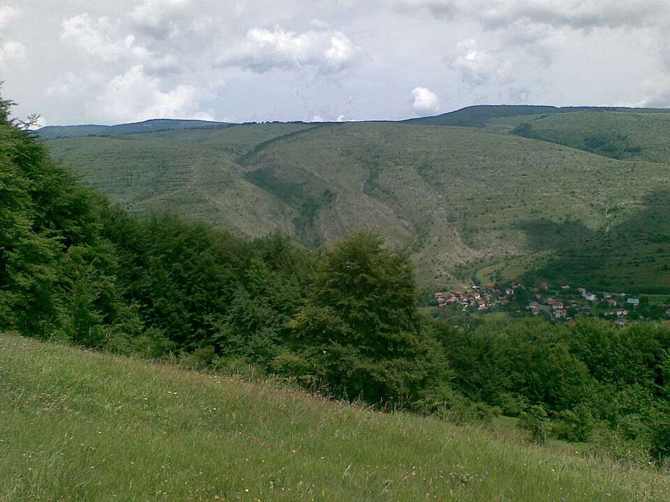
Gubesh(Godech 市镇)的照片
保加利亚 · 索菲亚州
居民点
Gubesh 是保加利亚索菲亚州 Godech 市镇的一处村庄。 EKATTE 代码:18037。海拔范围:≥ 1000 米。 本资料依据官方《全国居民点登记册》编写。您可以在地图上查看位置,并将此地加入个人旅行路线。
查看详情图片来源: Дико · Public domain · 许可协议
查看位置Representative point of the settlement. Overview map; confirm the exact visiting address.
保加利亚 · 索菲亚州
居民点
Gubislav 是保加利亚索菲亚州 Svoge 市镇的一处村庄。 EKATTE 代码:18040。海拔范围:≥ 1000 米。 本资料依据官方《全国居民点登记册》编写。您可以在地图上查看位置,并将此地加入个人旅行路线。
查看详情Representative point of the settlement. Overview map; confirm the exact visiting address.
保加利亚 · 斯莫梁州
居民点
Gudevitsa 是保加利亚斯莫梁州 Smolyan 市镇的一处村庄。 EKATTE 代码:18068。海拔范围:≥ 1000 米。 本资料依据官方《全国居民点登记册》编写。您可以在地图上查看位置,并将此地加入个人旅行路线。
查看详情
Gugutka(Ivaylovgrad 市镇)的照片
保加利亚 · 哈斯科沃州
居民点
Gugutka 是保加利亚哈斯科沃州 Ivaylovgrad 市镇的一处村庄。 EKATTE 代码:18054。海拔范围:100–199 米。 本资料依据官方《全国居民点登记册》编写。您可以在地图上查看位置,并将此地加入个人旅行路线。
查看详情图片来源: Bin im Garten · CC BY-SA 3.0 · 许可协议
查看位置Representative point of the settlement. Overview map; confirm the exact visiting address.
保加利亚 · 克尔贾利州
居民点
Gulia 是保加利亚克尔贾利州 Krumovgrad 市镇的一处村庄。 EKATTE 代码:18085。海拔范围:300–499 米。 本资料依据官方《全国居民点登记册》编写。您可以在地图上查看位置,并将此地加入个人旅行路线。
查看详情Representative point of the settlement. Overview map; confirm the exact visiting address.
保加利亚 · 克尔贾利州
居民点
Guliyka 是保加利亚克尔贾利州 Krumovgrad 市镇的一处村庄。 EKATTE 代码:18071。海拔范围:300–499 米。 本资料依据官方《全国居民点登记册》编写。您可以在地图上查看位置,并将此地加入个人旅行路线。
查看详情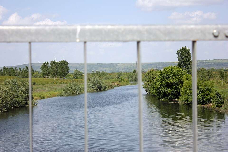
古利亚恩齐(Gulyantsi,Gulyantsi 市镇)的照片
保加利亚 · 普列文州
居民点
古利亚恩齐是保加利亚普列文州 Gulyantsi 市镇的一处城市。 EKATTE 代码:18099。海拔范围:0–49 米。该地是市镇行政中心。 本资料依据官方《全国居民点登记册》编写。您可以在地图上查看位置,并将此地加入个人旅行路线。
查看详情图片来源: Anton Lefterov · CC BY-SA 3.0 · 许可协议
查看位置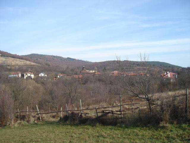
Gumoshtnik(Troyan 市镇)的照片
保加利亚 · 洛维奇州
居民点
Gumoshtnik 是保加利亚洛维奇州 Troyan 市镇的一处村庄。 EKATTE 代码:18109。海拔范围:300–499 米。 本资料依据官方《全国居民点登记册》编写。您可以在地图上查看位置,并将此地加入个人旅行路线。
查看详情图片来源: Stanislav Minkov · CC BY-SA 2.5 · 许可协议
查看位置Representative point of the settlement. Overview map; confirm the exact visiting address.
保加利亚 · 丘斯滕迪尔州
居民点
Gurbanovtsi 是保加利亚丘斯滕迪尔州 Kyustendil 市镇的一处村庄。 EKATTE 代码:18112。海拔范围:≥ 1000 米。 本资料依据官方《全国居民点登记册》编写。您可以在地图上查看位置,并将此地加入个人旅行路线。
查看详情Representative point of the settlement. Overview map; confirm the exact visiting address.
保加利亚 · 克尔贾利州
居民点
Gurgulitsa 是保加利亚克尔贾利州 Momchilgrad 市镇的一处村庄。 EKATTE 代码:18126。海拔范围:300–499 米。 本资料依据官方《全国居民点登记册》编写。您可以在地图上查看位置,并将此地加入个人旅行路线。
查看详情