Representative point of the settlement. Overview map; confirm the exact visiting address.
保加利亚 · 哈斯科沃州
居民点
Balkan(Stambolovo 市镇)
Balkan 是保加利亚哈斯科沃州 Stambolovo 市镇的一处村庄。 EKATTE 代码:02436。海拔范围:300–499 米。 本资料依据官方《全国居民点登记册》编写。您可以在地图上查看位置,并将此地加入个人旅行路线。
查看详情
探索旅行路线上的自然景观、历史遗迹和文化景点。
景点目录持续更新。参观详情请查看景点页面中的来源链接。
保加利亚居民点 · 5,256找到景点: 5893 · 显示第 193–216 项,共 5,893 · 页 9 / 246
Representative point of the settlement. Overview map; confirm the exact visiting address.
保加利亚 · 哈斯科沃州
居民点
Balkan 是保加利亚哈斯科沃州 Stambolovo 市镇的一处村庄。 EKATTE 代码:02436。海拔范围:300–499 米。 本资料依据官方《全国居民点登记册》编写。您可以在地图上查看位置,并将此地加入个人旅行路线。
查看详情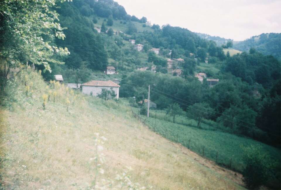
Balkan mahala(Laki 市镇)的照片
保加利亚 · 普罗夫迪夫州
居民点
Balkan mahala 是保加利亚普罗夫迪夫州 Laki 市镇的一处村庄。 EKATTE 代码:02453。海拔范围:≥ 1000 米。 本资料依据官方《全国居民点登记册》编写。您可以在地图上查看位置,并将此地加入个人旅行路线。
查看详情图片来源: Moreno at the Bulgarian language Wikipedia · CC BY-SA 3.0 · 许可协议
查看位置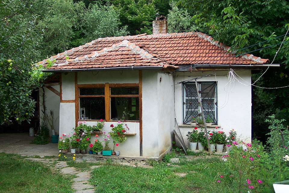
Balkanets(Troyan 市镇)的照片
保加利亚 · 洛维奇州
居民点
Balkanets 是保加利亚洛维奇州 Troyan 市镇的一处村庄。 EKATTE 代码:02448。海拔范围:500–699 米。 本资料依据官方《全国居民点登记册》编写。您可以在地图上查看位置,并将此地加入个人旅行路线。
查看详情图片来源: Piter Nestorov · Public domain · 许可协议
查看位置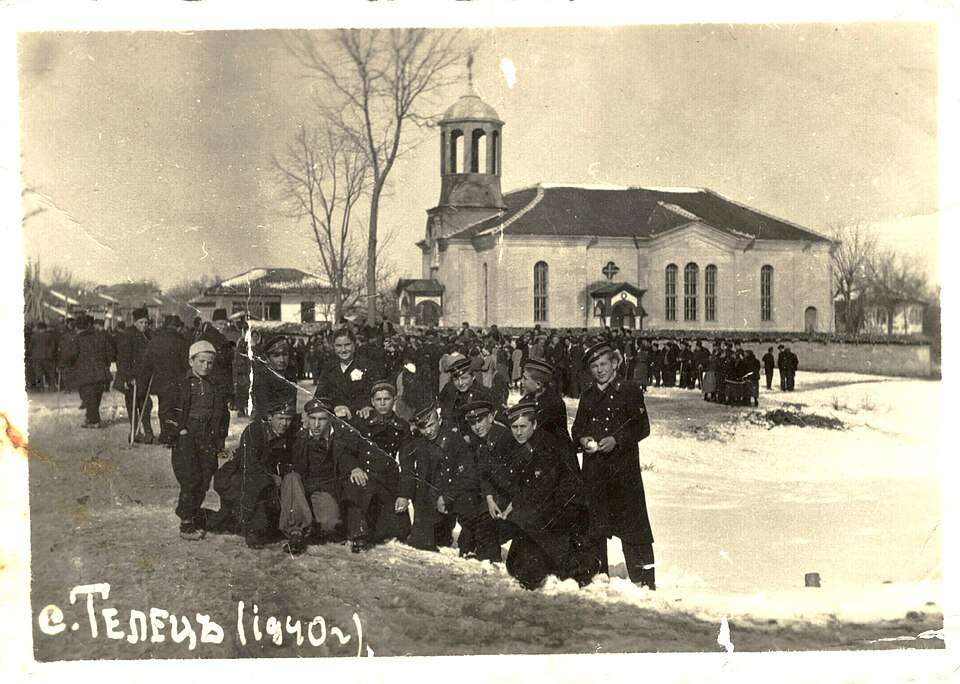
Balkanski(Razgrad 市镇)的历史照片
保加利亚 · 拉兹格勒州
居民点
Balkanski 是保加利亚拉兹格勒州 Razgrad 市镇的一处村庄。 EKATTE 代码:02467。海拔范围:200–299 米。 本资料依据官方《全国居民点登记册》编写。您可以在地图上查看位置,并将此地加入个人旅行路线。
查看详情图片来源: Litev · CC BY-SA 4.0 · 许可协议
查看位置Representative point of the settlement. Overview map; confirm the exact visiting address.
保加利亚 · 多布里奇州
居民点
Balkantsi 是保加利亚多布里奇州 General Toshevo 市镇的一处村庄。 EKATTE 代码:02484。海拔范围:100–199 米。 本资料依据官方《全国居民点登记册》编写。您可以在地图上查看位置,并将此地加入个人旅行路线。
查看详情Representative point of the settlement. Overview map; confirm the exact visiting address.
保加利亚 · 大特尔诺沃州
居民点
Balkantsi 是保加利亚大特尔诺沃州 Strazhitsa 市镇的一处村庄。 EKATTE 代码:02470。海拔范围:200–299 米。 本资料依据官方《全国居民点登记册》编写。您可以在地图上查看位置,并将此地加入个人旅行路线。
查看详情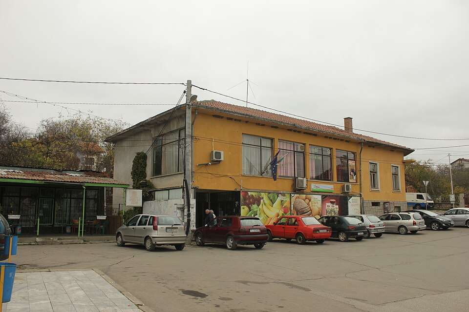
Balsha(Stolichna 市镇)的照片
保加利亚 · 索菲亚市
居民点
Balsha 是保加利亚索菲亚市 Stolichna 市镇的一处村庄。 EKATTE 代码:02511。海拔范围:500–699 米。 本资料依据官方《全国居民点登记册》编写。您可以在地图上查看位置,并将此地加入个人旅行路线。
查看详情图片来源: Edal Anton Lefterov · CC BY-SA 3.0 · 许可协议
查看位置
保加利亚 · 多布里奇州
自然与山地
巴托瓦河畔会周期性淹水的林地庇护着田榆、梣树和其他喜湿植物。河水、林荫和沿海气候在靠近海边海滩的地方创造了独特的自然环境。
查看详情图片来源: Markscheider · CC BY-SA 4.0 · 许可协议
查看位置Representative point of the settlement. Overview map; confirm the exact visiting address.
保加利亚 · 大特尔诺沃州
居民点
Balutsi 是保加利亚大特尔诺沃州 Elena 市镇的一处村庄。 EKATTE 代码:02498。海拔范围:300–499 米。 本资料依据官方《全国居民点登记册》编写。您可以在地图上查看位置,并将此地加入个人旅行路线。
查看详情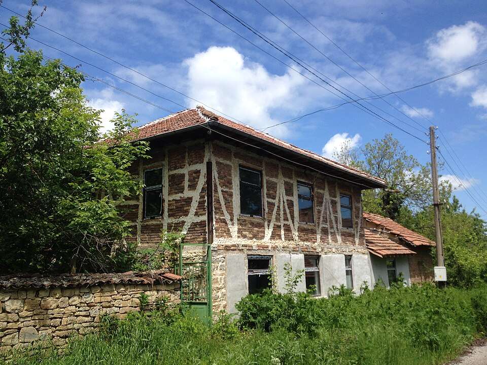
Balvan(Veliko Tarnovo 市镇)的照片
保加利亚 · 大特尔诺沃州
居民点
Balvan 是保加利亚大特尔诺沃州 Veliko Tarnovo 市镇的一处村庄。 EKATTE 代码:02364。海拔范围:300–499 米。 本资料依据官方《全国居民点登记册》编写。您可以在地图上查看位置,并将此地加入个人旅行路线。
查看详情图片来源: Glen Stobbs · CC BY-SA 3.0 · 许可协议
查看位置Representative point of the settlement. Overview map; confirm the exact visiting address.
保加利亚 · 加布罗沃州
居民点
Balvantsite 是保加利亚加布罗沃州 Dryanovo 市镇的一处村庄。 EKATTE 代码:02378。海拔范围:300–499 米。 本资料依据官方《全国居民点登记册》编写。您可以在地图上查看位置,并将此地加入个人旅行路线。
查看详情Representative point of the settlement. Overview map; confirm the exact visiting address.
保加利亚 · 索菲亚州
居民点
Balyovtsi 是保加利亚索菲亚州 Ihtiman 市镇的一处村庄。 EKATTE 代码:02539。海拔范围:700–999 米。 本资料依据官方《全国居民点登记册》编写。您可以在地图上查看位置,并将此地加入个人旅行路线。
查看详情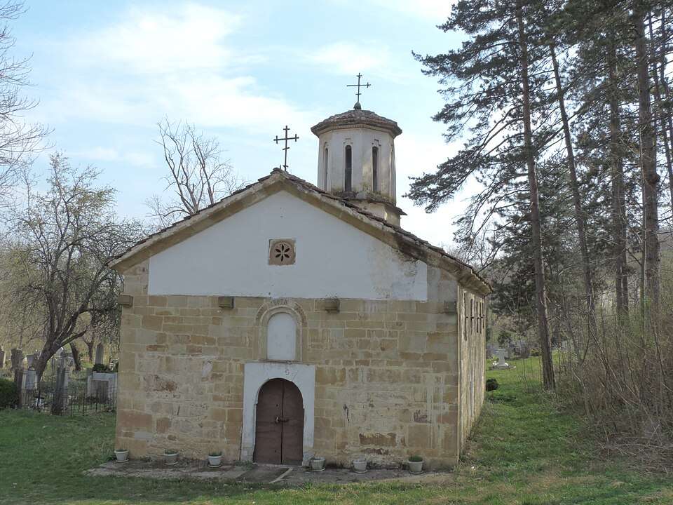
Balyuvitsa(Berkovitsa 市镇)的照片
保加利亚 · 蒙塔纳州
居民点
Balyuvitsa 是保加利亚蒙塔纳州 Berkovitsa 市镇的一处村庄。 EKATTE 代码:02542。海拔范围:200–299 米。 本资料依据官方《全国居民点登记册》编写。您可以在地图上查看位置,并将此地加入个人旅行路线。
查看详情图片来源: Vassia Atanassova - Spiritia · CC BY-SA 4.0 · 许可协议
查看位置Representative point of the settlement. Overview map; confirm the exact visiting address.
保加利亚 · 加布罗沃州
居民点
Banari 是保加利亚加布罗沃州 Dryanovo 市镇的一处村庄。 EKATTE 代码:02556。海拔范围:500–699 米。 本资料依据官方《全国居民点登记册》编写。您可以在地图上查看位置,并将此地加入个人旅行路线。
查看详情Representative point of the settlement. Overview map; confirm the exact visiting address.
保加利亚 · 索菲亚州
居民点
Banchovtsi 是保加利亚索菲亚州 Ihtiman 市镇的一处村庄。 EKATTE 代码:02689。海拔范围:700–999 米。 本资料依据官方《全国居民点登记册》编写。您可以在地图上查看位置,并将此地加入个人旅行路线。
查看详情Representative point of the settlement. Overview map; confirm the exact visiting address.
保加利亚 · 加布罗沃州
居民点
Bangeytsi 是保加利亚加布罗沃州 Tryavna 市镇的一处村庄。 EKATTE 代码:02563。海拔范围:300–499 米。 本资料依据官方《全国居民点登记册》编写。您可以在地图上查看位置,并将此地加入个人旅行路线。
查看详情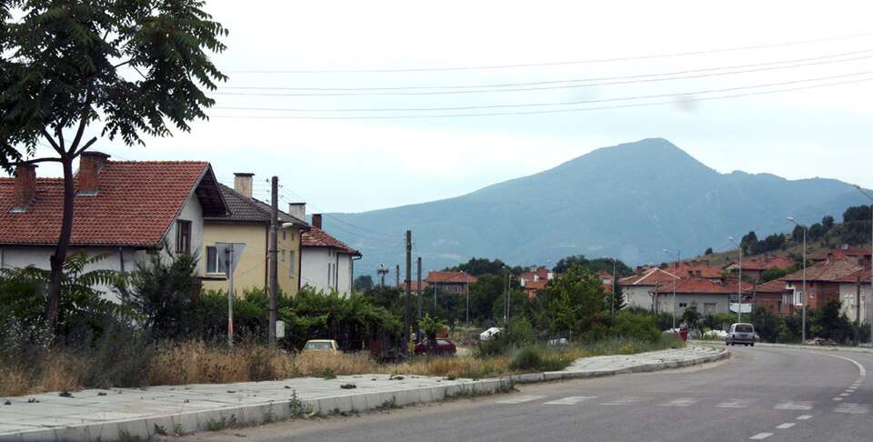
Banichan(Gotse Delchev 市镇)的照片
保加利亚 · 布拉戈耶夫格勒州
居民点
Banichan 是保加利亚布拉戈耶夫格勒州 Gotse Delchev 市镇的一处村庄。 EKATTE 代码:02600。海拔范围:500–699 米。 本资料依据官方《全国居民点登记册》编写。您可以在地图上查看位置,并将此地加入个人旅行路线。
查看详情图片来源: Edal Anton Lefterov · CC BY-SA 3.0 · 许可协议
查看位置Representative point of the settlement. Overview map; confirm the exact visiting address.
保加利亚 · 佩尔尼克州
居民点
Banishte 是保加利亚佩尔尼克州 Breznik 市镇的一处村庄。 EKATTE 代码:02614。海拔范围:700–999 米。 本资料依据官方《全国居民点登记册》编写。您可以在地图上查看位置,并将此地加入个人旅行路线。
查看详情Representative point of the settlement. Overview map; confirm the exact visiting address.
保加利亚 · 鲁塞州
居民点
Baniska 是保加利亚鲁塞州 Dve mogili 市镇的一处村庄。 EKATTE 代码:02587。海拔范围:100–199 米。 本资料依据官方《全国居民点登记册》编写。您可以在地图上查看位置,并将此地加入个人旅行路线。
查看详情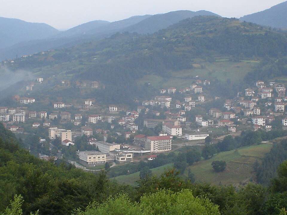
Banite(Banite 市镇)的照片
保加利亚 · 斯莫梁州
居民点
Banite 是保加利亚斯莫梁州 Banite 市镇的一处村庄。 EKATTE 代码:44402。海拔范围:700–999 米。该地是市镇行政中心。 本资料依据官方《全国居民点登记册》编写。您可以在地图上查看位置,并将此地加入个人旅行路线。
查看详情图片来源: Mc hammerutime at English Wikipedia · Public domain · 许可协议
查看位置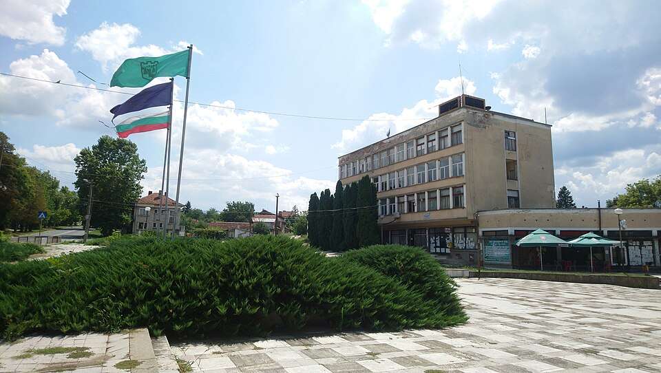
Banitsa(Vratsa 市镇)的照片
保加利亚 · 弗拉察州
居民点
Banitsa 是保加利亚弗拉察州 Vratsa 市镇的一处村庄。 EKATTE 代码:02590。海拔范围:200–299 米。 本资料依据官方《全国居民点登记册》编写。您可以在地图上查看位置,并将此地加入个人旅行路线。
查看详情图片来源: Spiritia · CC BY-SA 4.0 · 许可协议
查看位置Representative point of the settlement. Overview map; confirm the exact visiting address.
保加利亚 · 特尔戈维什特州
居民点
Bankovets 是保加利亚特尔戈维什特州 Antonovo 市镇的一处村庄。 EKATTE 代码:02628。海拔范围:300–499 米。 本资料依据官方《全国居民点登记册》编写。您可以在地图上查看位置,并将此地加入个人旅行路线。
查看详情Representative point of the settlement. Overview map; confirm the exact visiting address.
保加利亚 · 加布罗沃州
居民点
Bankovtsi 是保加利亚加布罗沃州 Gabrovo 市镇的一处村庄。 EKATTE 代码:02631。海拔范围:500–699 米。 本资料依据官方《全国居民点登记册》编写。您可以在地图上查看位置,并将此地加入个人旅行路线。
查看详情
Bankya(Stolichna 市镇)的照片
保加利亚 · 索菲亚市
居民点
Bankya 是保加利亚索菲亚市 Stolichna 市镇的一处城市。 EKATTE 代码:02659。海拔范围:500–699 米。 本资料依据官方《全国居民点登记册》编写。您可以在地图上查看位置,并将此地加入个人旅行路线。
查看详情图片来源: Kiril Kapustin · CC BY 2.5 · 许可协议
查看位置