返回景点目录
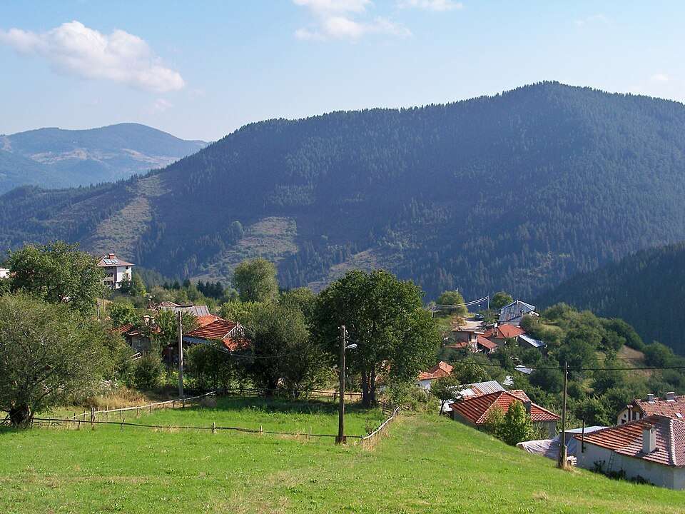
Gela 吉拉景观
图片来源: www.vacacionesbulgaria.com · CC BY-SA 4.0 · 许可协议

保加利亚

Gela 吉拉

地点: Gela · Smolyan

建筑与聚落

在地图上查看
Official name
Гела
Settlement type
Village
Municipality
Smolyan
EKATTE code
14605
Elevation range
≥ 1000 m
Data: National Statistical Institute, EKATTEMore about the settlement on Wikipedia

Administrative data as of 15 May 2026. Coordinates: NSI layer 2025.1, reference date 31 December 2025.

Gela 吉拉

地点:Gela。所属地区:斯莫梁州。类别:建筑与聚落。

此景点收录于保加利亚官方旅游门户。您可以查看来源了解详情,并将此地加入个人旅行路线。

查找相关行程添加到旅行规划

来源

More about this place

在Ilinden Meadows举行的家庭聚会保存了Rhodope歌曲,并激发了风笛比赛。深声卡巴盖达的表演将当地传统转变为与不同国家音乐家的文化会议。

Sources for the additional information

Reviewed on

Population and area

Population
27 people
as of
Source and references
Area reported by the source
33.959 km²
Source and references

Population refers to the stated date. Area is a reference value reported by the source.

Location and surroundings

Municipal centre
Smolyan (Smolyan Municipality) · ≈ 12.8 km
Provincial centre
Smolyan (Smolyan Municipality) · ≈ 12.8 km

Nearby sights in the catalogue

Distances are approximate straight lines between map points. They are not road distances or travel times.

Administrative centres and coordinates: NSI, EKATTE
返回景点概况
© 2026 Global Tour