返回景点目录
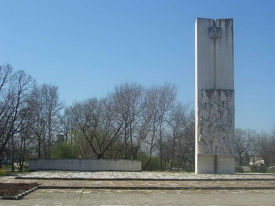
Saedinenie(Saedinenie 市镇)的照片

Saedinenie(Saedinenie 市镇)的照片

图片来源: Мико · CC BY-SA 3.0 · 许可协议

保加利亚

Saedinenie(Saedinenie 市镇)

地点: Saedinenie,Saedinenie 市镇 · 普罗夫迪夫州

居民点

在地图上查看
保加利亚语官方名称
Съединение
居民点类型
城市
市镇
Saedinenie
EKATTE 代码
70528
海拔范围
100–199 米
行政中心
市镇行政中心
数据来源:保加利亚国家统计局(EKATTE)在维基百科了解更多

行政资料截至 2026 年 5 月 15 日。坐标来自国家统计局 2025.1 版图层,基准日期为 2025 年 12 月 31 日。

Saedinenie 是保加利亚普罗夫迪夫州 Saedinenie 市镇的一处城市。

EKATTE 代码:70528。海拔范围:100–199 米。该地是市镇行政中心。

本资料依据官方《全国居民点登记册》编写。您可以在地图上查看位置,并将此地加入个人旅行路线。

查找相关行程添加到旅行规划

来源

More about this place

Population and area

Population
4,908 people
as of
Source and references
Area reported by the source
100.2 km²
Source and references

Population refers to the stated date. Area is a reference value reported by the source.

Location and surroundings

Municipal centre
Saedinenie (Saedinenie Municipality) · here
Provincial centre
Plovdiv (Plovdiv Municipality) · ≈ 21.8 km

Nearby sights in the catalogue

Distances are approximate straight lines between map points. They are not road distances or travel times.

Administrative centres and coordinates: NSI, EKATTE
返回景点概况
© 2026 Global Tour