返回景点目录
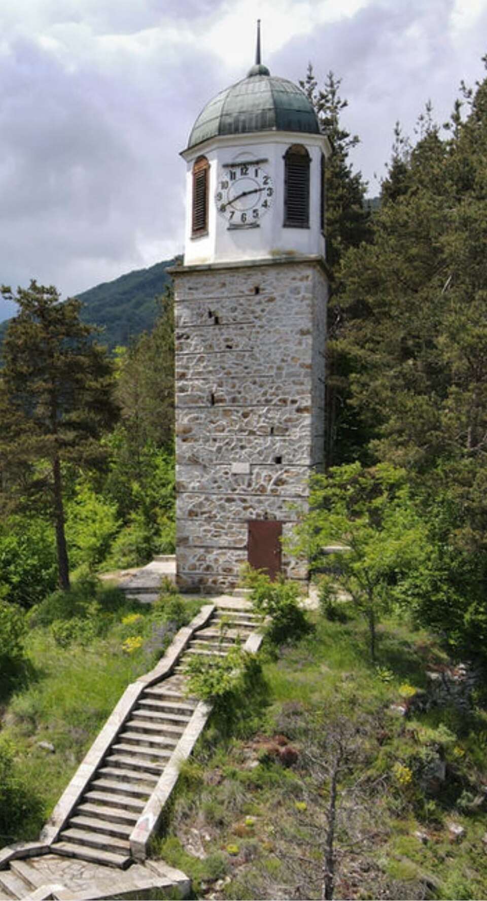
斯米利扬人外观
图片来源: Ivanko · CC BY-SA 4.0 · 许可协议

保加利亚

斯米利扬人

地点: Smilyan · Smolyan

建筑与聚落

在地图上查看
Official name
Смилян
Settlement type
Village
Municipality
Smolyan
EKATTE code
67547
Elevation range
700–999 m
Data: National Statistical Institute, EKATTEMore about the settlement on Wikipedia

Administrative data as of 15 May 2026. Coordinates: NSI layer 2025.1, reference date 31 December 2025.

斯米利扬人

地点:Smilyan。所属地区:斯莫梁州。类别:建筑与聚落。

此景点收录于保加利亚官方旅游门户。您可以查看来源了解详情,并将此地加入个人旅行路线。

查找相关行程添加到旅行规划

来源

More about this place

Smilyan Beans和Rhodope 剪片和人种学收藏将独特的当地生计与家庭纺织遗产联系起来。种植和庆祝豆类的传统揭示了罗多普食物、社区和文化之间的联系。

Sources for the additional information

Reviewed on

Population and area

Population
1,559 people
as of
Source and references
Area reported by the source
29.248 km²
Source and references

Population refers to the stated date. Area is a reference value reported by the source.

Location and surroundings

Municipal centre
Smolyan (Smolyan Municipality) · ≈ 8.3 km
Provincial centre
Smolyan (Smolyan Municipality) · ≈ 8.3 km

Nearby sights in the catalogue

Distances are approximate straight lines between map points. They are not road distances or travel times.

Administrative centres and coordinates: NSI, EKATTE
返回景点概况
© 2026 Global Tour